Nueces County Rolled Sketch 100
[State Reclamation Department map - Corpus Christi Sheet No. 6]
-
Map/Doc
10210
-
Collection
General Map Collection
-
Object Dates
1938 (Creation Date)
-
People and Organizations
Curtis R. Hale (Surveyor/Engineer)
R.C. Wisdom (Surveyor/Engineer)
E.M. Greenwood (Surveyor/Engineer)
Eltea Armstrong (Letterer)
-
Counties
Nueces
-
Subjects
Surveying Rolled Sketch
-
Height x Width
30.4 x 30.4 inches
77.2 x 77.2 cm
-
Scale
1" = 180 varas
-
Comments
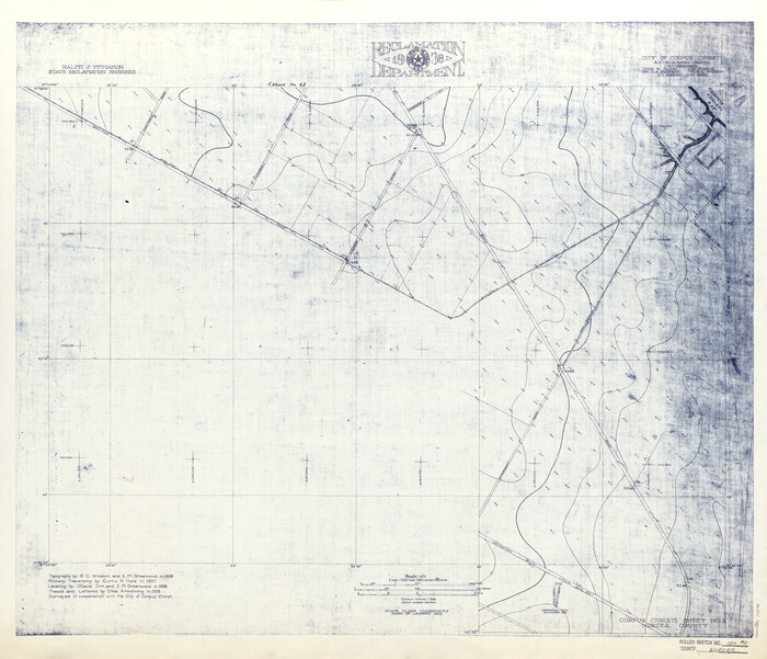
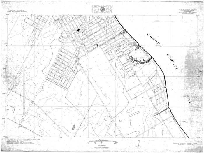
Sheet 4 of 5. For other sheets see maps 9634, 10208, 10209, and 10697.
Related maps
Nueces County Rolled Sketch 100

Print $20.00
- Digital $50.00
Nueces County Rolled Sketch 100
Size 43.9 x 37.7 inches
Map/Doc 10208
Nueces County Rolled Sketch 100

Print $20.00
- Digital $50.00
Nueces County Rolled Sketch 100
Size 30.6 x 40.7 inches
Map/Doc 10209
Nueces County Rolled Sketch 100
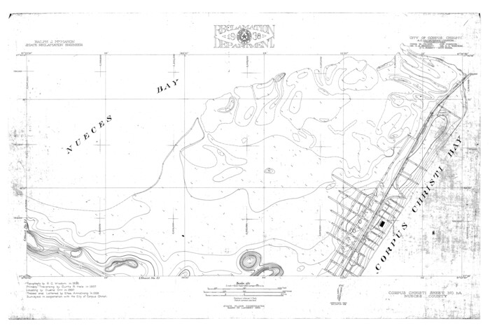

Print $20.00
- Digital $50.00
Nueces County Rolled Sketch 100
Size 21.3 x 32.7 inches
Map/Doc 10697
Nueces County Rolled Sketch 100
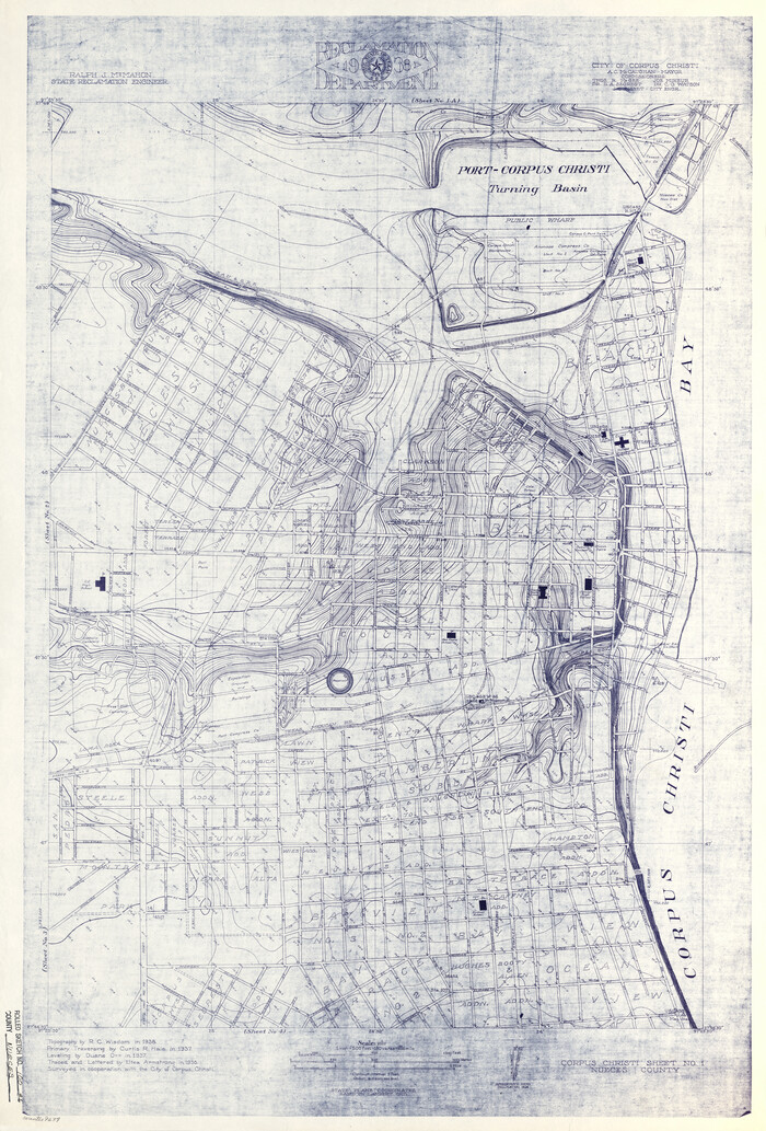

Print $20.00
- Digital $50.00
Nueces County Rolled Sketch 100
1938
Size 37.2 x 25.2 inches
Map/Doc 9634
Part of: General Map Collection
Roberts County Working Sketch 46

Print $20.00
- Digital $50.00
Roberts County Working Sketch 46
1979
Size 19.4 x 28.3 inches
Map/Doc 63572
Marshall Ford Dam right of way survey, General Ownership Map


Print $40.00
- Digital $50.00
Marshall Ford Dam right of way survey, General Ownership Map
1942
Size 36.6 x 55.9 inches
Map/Doc 60402
Map of Madison County

Print $20.00
- Digital $50.00
Map of Madison County
1858
Size 19.8 x 31.7 inches
Map/Doc 3834
Newton County Working Sketch 13


Print $20.00
- Digital $50.00
Newton County Working Sketch 13
1946
Size 34.4 x 34.2 inches
Map/Doc 71259
Uvalde County Sketch File 29
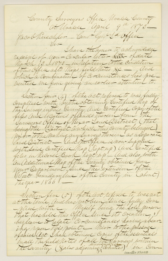

Print $8.00
- Digital $50.00
Uvalde County Sketch File 29
1873
Size 13.0 x 8.3 inches
Map/Doc 39028
Flight Mission No. DIX-6P, Frame 185, Aransas County
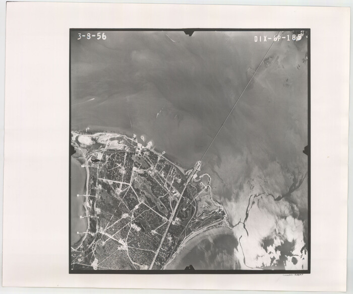

Print $20.00
- Digital $50.00
Flight Mission No. DIX-6P, Frame 185, Aransas County
1956
Size 19.1 x 22.8 inches
Map/Doc 83847
Crosby County Sketch File 35
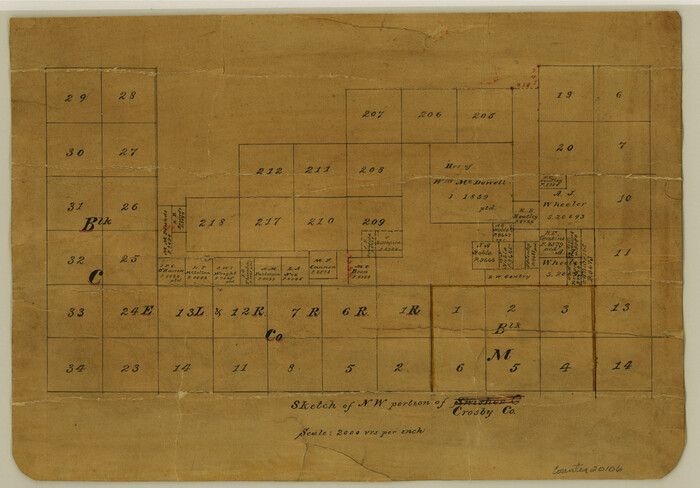

Print $4.00
- Digital $50.00
Crosby County Sketch File 35
Size 8.5 x 12.1 inches
Map/Doc 20106
Cherokee County Rolled Sketch 4
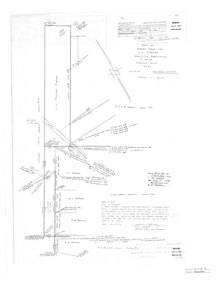

Print $20.00
- Digital $50.00
Cherokee County Rolled Sketch 4
1972
Size 30.7 x 23.6 inches
Map/Doc 5436
Flight Mission No. CGI-4N, Frame 27, Cameron County

Print $20.00
- Digital $50.00
Flight Mission No. CGI-4N, Frame 27, Cameron County
1954
Size 18.6 x 22.5 inches
Map/Doc 84660
Flight Mission No. DIX-10P, Frame 180, Aransas County


Print $20.00
- Digital $50.00
Flight Mission No. DIX-10P, Frame 180, Aransas County
1956
Size 18.5 x 22.2 inches
Map/Doc 83970
Dimmit County Working Sketch 28

Print $20.00
- Digital $50.00
Dimmit County Working Sketch 28
1957
Size 25.5 x 27.9 inches
Map/Doc 68689
Gregg County Sketch File 3

Print $6.00
- Digital $50.00
Gregg County Sketch File 3
1931
Size 11.2 x 8.7 inches
Map/Doc 24569
You may also like
[PSL Blocks A6-A12]
![89780, [PSL Blocks A6-A12], Twichell Survey Records](https://historictexasmaps.com/wmedia_w700/maps/89780-1.tif.jpg)
![89780, [PSL Blocks A6-A12], Twichell Survey Records](https://historictexasmaps.com/wmedia_w700/maps/89780-1.tif.jpg)
Print $40.00
- Digital $50.00
[PSL Blocks A6-A12]
Size 23.2 x 64.7 inches
Map/Doc 89780
Arlington Street Map & Guide


Digital $50.00
Arlington Street Map & Guide
Size 35.5 x 23.2 inches
Map/Doc 94436
Brewster County Sketch File 40

Print $6.00
- Digital $50.00
Brewster County Sketch File 40
1910
Size 15.2 x 10.3 inches
Map/Doc 16302
Webb County Working Sketch 67
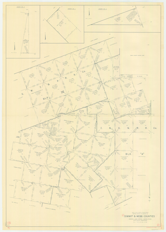

Print $40.00
- Digital $50.00
Webb County Working Sketch 67
1966
Size 60.9 x 43.7 inches
Map/Doc 72434
Official Highway Map of Texas
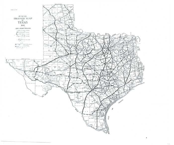

Print $5.00
- Digital $50.00
Official Highway Map of Texas
1926
Size 25.0 x 30.1 inches
Map/Doc 93718
Gaines County Sketch File 7
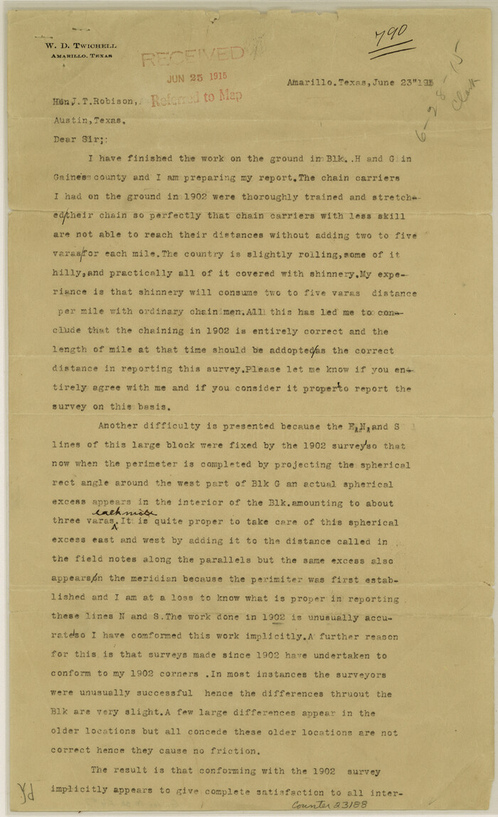

Print $6.00
- Digital $50.00
Gaines County Sketch File 7
1915
Size 14.3 x 8.7 inches
Map/Doc 23188
Navarro County Working Sketch 11


Print $40.00
- Digital $50.00
Navarro County Working Sketch 11
1978
Size 53.7 x 44.4 inches
Map/Doc 71241
Jack County Working Sketch 2


Print $20.00
- Digital $50.00
Jack County Working Sketch 2
1939
Size 10.9 x 17.7 inches
Map/Doc 66428
Presidio County Working Sketch 38


Print $20.00
- Digital $50.00
Presidio County Working Sketch 38
1948
Size 35.0 x 22.2 inches
Map/Doc 71715

