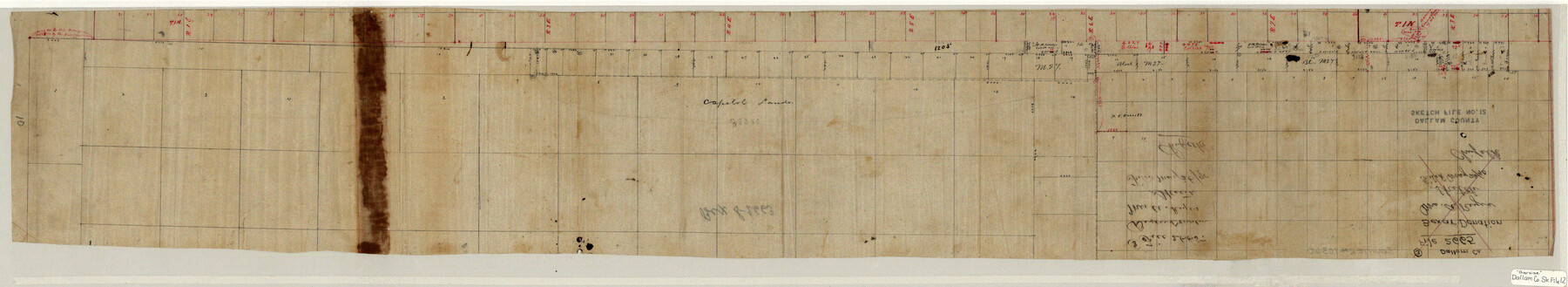
Dallam County Sketch File 12
File 2665 Bexar Donation
-
Map/Doc
10360
-
Collection
General Map Collection
-
Object Dates
1890/5/26 (File Date)
-
Counties
Dallam
-
Subjects
Surveying Sketch File
-
Height x Width
50.0 x 9.1 inches
127.0 x 23.1 cm
-
Medium
paper, manuscript
Part of: General Map Collection
Galveston County NRC Article 33.136 Sketch 44

Print $22.00
- Digital $50.00
Galveston County NRC Article 33.136 Sketch 44
2007
Size 36.6 x 24.6 inches
Map/Doc 88352
Taylor County

Print $20.00
- Digital $50.00
Taylor County
1934
Size 42.0 x 36.6 inches
Map/Doc 77432
Andrews County Boundary File 2c

Print $70.00
- Digital $50.00
Andrews County Boundary File 2c
Size 14.6 x 9.2 inches
Map/Doc 49709
Flight Mission No. DQN-4K, Frame 5, Calhoun County

Print $20.00
- Digital $50.00
Flight Mission No. DQN-4K, Frame 5, Calhoun County
1953
Size 18.7 x 22.4 inches
Map/Doc 84370
Hudspeth County Rolled Sketch 69

Print $20.00
- Digital $50.00
Hudspeth County Rolled Sketch 69
1973
Size 12.3 x 19.8 inches
Map/Doc 7719
Brewster County Boundary File 2

Print $40.00
- Digital $50.00
Brewster County Boundary File 2
Size 14.0 x 16.3 inches
Map/Doc 50756
Flight Mission No. BRA-8M, Frame 126, Jefferson County

Print $20.00
- Digital $50.00
Flight Mission No. BRA-8M, Frame 126, Jefferson County
1953
Size 19.1 x 22.7 inches
Map/Doc 85622
Montgomery County Working Sketch 22

Print $20.00
- Digital $50.00
Montgomery County Working Sketch 22
1936
Size 31.9 x 25.6 inches
Map/Doc 71129
Val Verde County Working Sketch 95

Print $20.00
- Digital $50.00
Val Verde County Working Sketch 95
1980
Size 26.5 x 31.8 inches
Map/Doc 72230
Jones County Sketch File 7

Print $20.00
- Digital $50.00
Jones County Sketch File 7
Size 12.5 x 27.5 inches
Map/Doc 11897
Flight Mission No. DCL-6C, Frame 53, Kenedy County

Print $20.00
- Digital $50.00
Flight Mission No. DCL-6C, Frame 53, Kenedy County
1943
Size 18.6 x 22.4 inches
Map/Doc 85895
Flight Mission No. BRE-2P, Frame 10, Nueces County

Print $20.00
- Digital $50.00
Flight Mission No. BRE-2P, Frame 10, Nueces County
1956
Size 17.9 x 21.5 inches
Map/Doc 86719
You may also like
Clay County Working Sketch 4

Print $20.00
- Digital $50.00
Clay County Working Sketch 4
1923
Size 14.7 x 21.9 inches
Map/Doc 68027
Map of Comanche Co.

Print $20.00
- Digital $50.00
Map of Comanche Co.
1896
Size 41.5 x 44.9 inches
Map/Doc 4918
Foard County Sketch File 23

Print $20.00
- Digital $50.00
Foard County Sketch File 23
1891
Size 21.3 x 24.7 inches
Map/Doc 4544
Red River County Sketch File 1a

Print $4.00
- Digital $50.00
Red River County Sketch File 1a
1854
Size 12.7 x 8.0 inches
Map/Doc 35093
Hays County Sketch File 35

Print $4.00
- Digital $50.00
Hays County Sketch File 35
1873
Size 12.8 x 8.2 inches
Map/Doc 26277
Chambers County Rolled Sketch 32

Print $20.00
- Digital $50.00
Chambers County Rolled Sketch 32
1951
Size 26.7 x 37.8 inches
Map/Doc 5432
Johnson County Boundary File 1

Print $66.00
- Digital $50.00
Johnson County Boundary File 1
Size 14.1 x 8.5 inches
Map/Doc 55551
[Sketch for Mineral Application 1112 - Colorado River, H. E. Chambers]
![65637, [Sketch for Mineral Application 1112 - Colorado River, H. E. Chambers], General Map Collection](https://historictexasmaps.com/wmedia_w700/maps/65637.tif.jpg)
Print $20.00
- Digital $50.00
[Sketch for Mineral Application 1112 - Colorado River, H. E. Chambers]
1918
Size 5.5 x 8.5 inches
Map/Doc 65637
Garza County Sketch File 15

Print $20.00
- Digital $50.00
Garza County Sketch File 15
1902
Size 16.8 x 14.7 inches
Map/Doc 11545
Taylor County Working Sketch 14

Print $20.00
- Digital $50.00
Taylor County Working Sketch 14
1959
Size 26.8 x 21.4 inches
Map/Doc 69624

Map of Denton County

Print $20.00
- Digital $50.00
Map of Denton County
1897
Size 43.4 x 40.2 inches
Map/Doc 4720