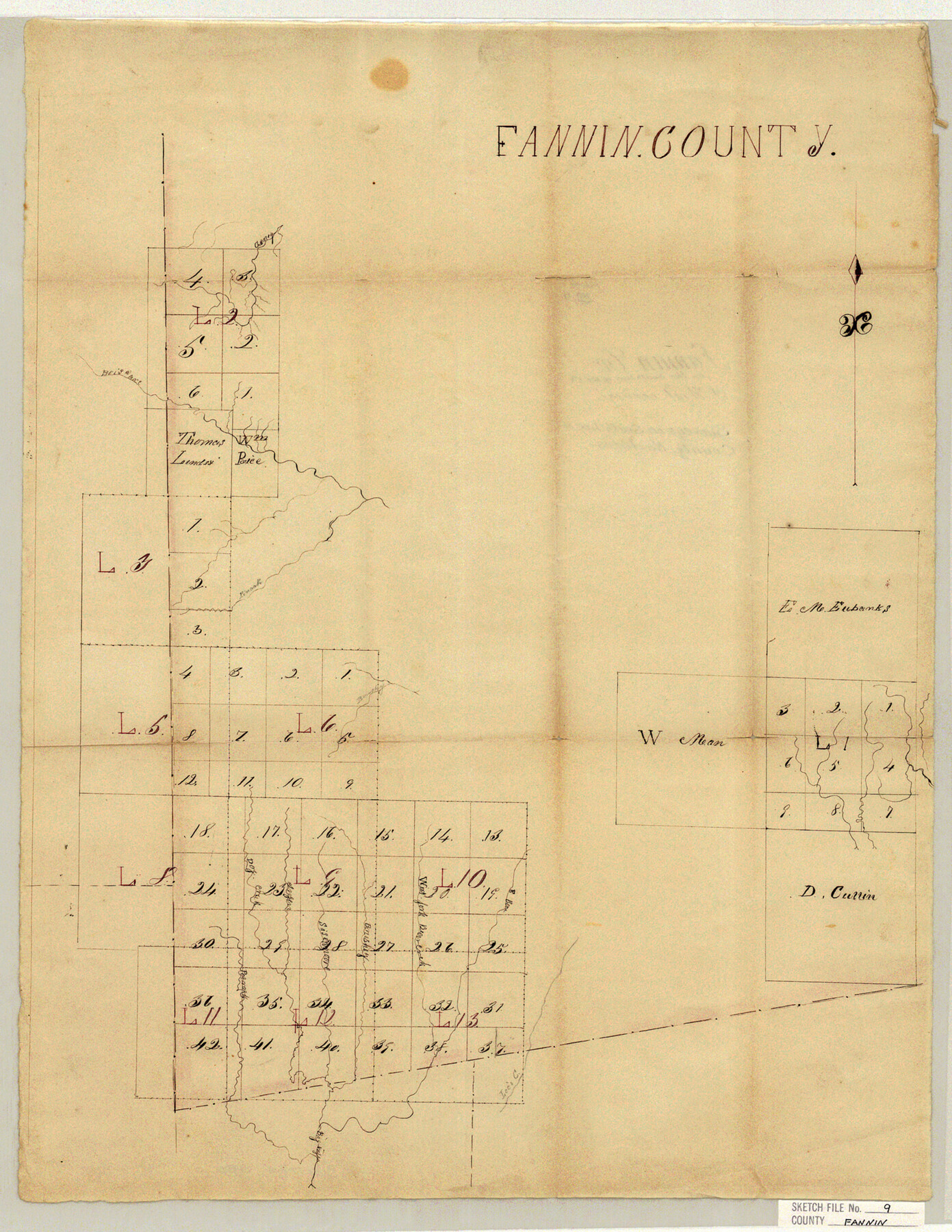
Fannin County Sketch File 9
On the south line of the Co. S. West corner
-
Map/Doc
11470
-
Collection
General Map Collection
-
Counties
Fannin
-
Subjects
Surveying Sketch File
-
Height x Width
20.7 x 16.0 inches
52.6 x 40.6 cm
-
Medium
paper, manuscript
-
Features
Caney Creek
Bois D'Arc Creek
Pinoak Creek
Brushey Creek
Lee's Creek
East [Fork of] Bear Creek
West Fork of Bear Creek
Bear Creek
Siscamoore [sic] Creek
Ingen [sic] Creek
Big Ingen [sic] Creek
Dog Creek
Pinoak Creek
Part of: General Map Collection
Andrews County Rolled Sketch 30

Print $20.00
- Digital $50.00
Andrews County Rolled Sketch 30
Size 20.6 x 18.1 inches
Map/Doc 77174
Flight Mission No. CGI-4N, Frame 171, Cameron County

Print $20.00
- Digital $50.00
Flight Mission No. CGI-4N, Frame 171, Cameron County
1955
Size 18.5 x 22.4 inches
Map/Doc 84674
Guadalupe County Sketch File 20

Print $6.00
- Digital $50.00
Guadalupe County Sketch File 20
1912
Size 11.1 x 8.7 inches
Map/Doc 24699
Howard County Boundary File 3

Print $51.00
- Digital $50.00
Howard County Boundary File 3
Size 9.3 x 4.5 inches
Map/Doc 55130
Bastrop County Working Sketch 8

Print $20.00
- Digital $50.00
Bastrop County Working Sketch 8
1937
Size 23.9 x 43.1 inches
Map/Doc 67308
Nueces County Rolled Sketch 39

Print $20.00
- Digital $50.00
Nueces County Rolled Sketch 39
1957
Size 32.9 x 45.3 inches
Map/Doc 6879
Flight Mission No. BRE-2P, Frame 44, Nueces County

Print $20.00
- Digital $50.00
Flight Mission No. BRE-2P, Frame 44, Nueces County
1956
Size 18.7 x 22.9 inches
Map/Doc 86746
Williamson County Sketch File 14

Print $6.00
- Digital $50.00
Williamson County Sketch File 14
1871
Size 9.4 x 15.4 inches
Map/Doc 40332
Flight Mission No. DAG-23K, Frame 19, Matagorda County

Print $20.00
- Digital $50.00
Flight Mission No. DAG-23K, Frame 19, Matagorda County
1953
Size 18.5 x 22.2 inches
Map/Doc 86481
Flight Mission No. CGI-4N, Frame 19, Cameron County

Print $20.00
- Digital $50.00
Flight Mission No. CGI-4N, Frame 19, Cameron County
1954
Size 18.5 x 22.3 inches
Map/Doc 84652
T&P Ry. from Texarkana to Atlanta

Print $40.00
- Digital $50.00
T&P Ry. from Texarkana to Atlanta
1910
Size 19.8 x 77.4 inches
Map/Doc 2327
Baylor County Sketch File A10

Print $8.00
- Digital $50.00
Baylor County Sketch File A10
1927
Size 11.3 x 8.9 inches
Map/Doc 14100
You may also like
Howard County Sketch File A

Print $44.00
- Digital $50.00
Howard County Sketch File A
Size 7.2 x 7.6 inches
Map/Doc 26837
Controlled Mosaic by Jack Amman Photogrammetric Engineers, Inc - Sheet 4

Print $20.00
- Digital $50.00
Controlled Mosaic by Jack Amman Photogrammetric Engineers, Inc - Sheet 4
1954
Size 20.0 x 24.0 inches
Map/Doc 83448
Maps of Gulf Intracoastal Waterway, Texas - Sabine River to the Rio Grande and connecting waterways including ship channels

Print $20.00
- Digital $50.00
Maps of Gulf Intracoastal Waterway, Texas - Sabine River to the Rio Grande and connecting waterways including ship channels
1966
Size 14.6 x 22.2 inches
Map/Doc 61966
Randall County Sketch File 12

Print $6.00
- Digital $50.00
Randall County Sketch File 12
1945
Size 11.3 x 8.9 inches
Map/Doc 34976
Jasper County Working Sketch 17

Print $20.00
- Digital $50.00
Jasper County Working Sketch 17
1934
Size 18.1 x 24.2 inches
Map/Doc 66479
Flight Mission No. CUG-3P, Frame 163, Kleberg County

Print $20.00
- Digital $50.00
Flight Mission No. CUG-3P, Frame 163, Kleberg County
1956
Size 18.6 x 22.2 inches
Map/Doc 86283
Edwards County Sketch File 18

Print $6.00
- Digital $50.00
Edwards County Sketch File 18
Size 16.3 x 10.6 inches
Map/Doc 21738
Flight Mission No. DIX-6P, Frame 122, Aransas County

Print $20.00
- Digital $50.00
Flight Mission No. DIX-6P, Frame 122, Aransas County
1956
Size 19.1 x 22.4 inches
Map/Doc 83828
Townsite Map of Chipley, Cochran County, Texas

Print $20.00
- Digital $50.00
Townsite Map of Chipley, Cochran County, Texas
1925
Size 19.4 x 29.3 inches
Map/Doc 92524
Vicinity of San Luis Pass, Galveston Island, Texas

Print $40.00
- Digital $50.00
Vicinity of San Luis Pass, Galveston Island, Texas
1933
Size 36.9 x 57.2 inches
Map/Doc 69942
Limestone County Working Sketch 2

Print $20.00
- Digital $50.00
Limestone County Working Sketch 2
Size 17.3 x 15.9 inches
Map/Doc 70552
Pecos County Working Sketch 39

Print $20.00
- Digital $50.00
Pecos County Working Sketch 39
1940
Size 37.5 x 37.6 inches
Map/Doc 71511