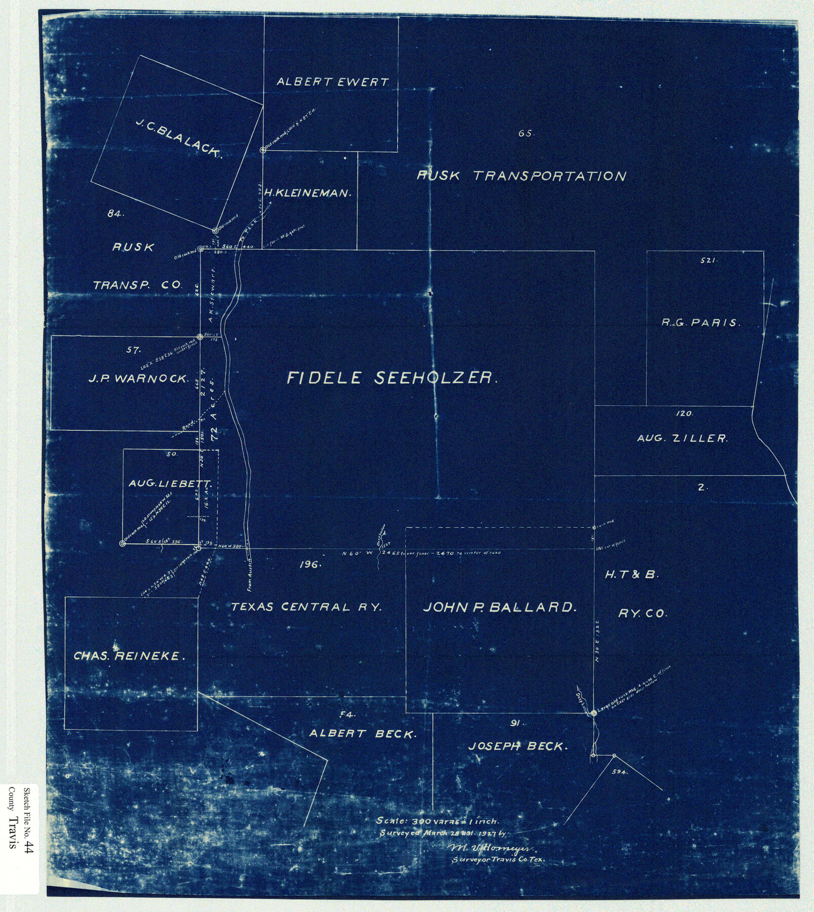
Travis County Sketch File 44
[Sketch showing Fidele Seeholzer survey and surrounding surveys northwest from Austin]
-
Map/Doc
12466
-
Collection
General Map Collection
-
Object Dates
3/31/1927 (Creation Date)
-
People and Organizations
M.V. Homeyer (Surveyor/Engineer)
-
Counties
Travis
-
Subjects
Surveying Sketch File
-
Height x Width
21.6 x 19.3 inches
54.9 x 49.0 cm
-
Medium
blueprint/diazo
-
Scale
1" = 300 varas
-
Features
Road to Teck
Part of: General Map Collection
Franklin County Sketch File 7

Print $6.00
- Digital $50.00
Franklin County Sketch File 7
1852
Size 8.1 x 10.1 inches
Map/Doc 23020
Culberson County Rolled Sketch 31

Print $20.00
- Digital $50.00
Culberson County Rolled Sketch 31
Size 44.1 x 34.4 inches
Map/Doc 8747
[Surveys along the San Fernando and Santa Gertrudis, San Patricio District]
![290, [Surveys along the San Fernando and Santa Gertrudis, San Patricio District], General Map Collection](https://historictexasmaps.com/wmedia_w700/maps/290.tif.jpg)
Print $20.00
- Digital $50.00
[Surveys along the San Fernando and Santa Gertrudis, San Patricio District]
1847
Size 13.2 x 16.4 inches
Map/Doc 290
Archer County Working Sketch 26

Print $20.00
- Digital $50.00
Archer County Working Sketch 26
1939
Size 17.1 x 31.2 inches
Map/Doc 67167
Nueces County Aerial Photograph Index Sheet 2

Print $20.00
- Digital $50.00
Nueces County Aerial Photograph Index Sheet 2
1956
Size 19.5 x 23.3 inches
Map/Doc 83737
Flight Mission No. CRC-2R, Frame 188, Chambers County

Print $20.00
- Digital $50.00
Flight Mission No. CRC-2R, Frame 188, Chambers County
1956
Size 18.5 x 22.3 inches
Map/Doc 84766
Travis County Sketch File 23

Print $4.00
- Digital $50.00
Travis County Sketch File 23
1875
Size 12.8 x 8.5 inches
Map/Doc 38330
Collin County Sketch File 14

Print $12.00
- Digital $50.00
Collin County Sketch File 14
1953
Size 11.2 x 8.7 inches
Map/Doc 18874
Flight Mission No. DQO-7K, Frame 80, Galveston County

Print $20.00
- Digital $50.00
Flight Mission No. DQO-7K, Frame 80, Galveston County
1952
Size 18.8 x 22.4 inches
Map/Doc 85107
Ector County Working Sketch 2

Print $20.00
- Digital $50.00
Ector County Working Sketch 2
1930
Size 33.1 x 38.2 inches
Map/Doc 68845
McLennan County Boundary File 3a

Print $30.00
- Digital $50.00
McLennan County Boundary File 3a
Size 14.1 x 8.5 inches
Map/Doc 56967
Nueces County Working Sketch Graphic Index

Print $20.00
- Digital $50.00
Nueces County Working Sketch Graphic Index
1913
Size 24.0 x 32.3 inches
Map/Doc 76655
You may also like
[Old Surveys, Robertson Colony in Milam County]
![78268, [Old Surveys, Robertson Colony in Milam County], General Map Collection](https://historictexasmaps.com/wmedia_w700/maps/78268.tif.jpg)
Print $20.00
- Digital $50.00
[Old Surveys, Robertson Colony in Milam County]
Size 12.2 x 15.6 inches
Map/Doc 78268
Upton County Working Sketch 29

Print $40.00
- Digital $50.00
Upton County Working Sketch 29
1956
Size 50.6 x 36.0 inches
Map/Doc 69525
Flight Mission No. CGI-3N, Frame 79, Cameron County

Print $20.00
- Digital $50.00
Flight Mission No. CGI-3N, Frame 79, Cameron County
1954
Size 18.6 x 22.4 inches
Map/Doc 84573
Travis County Working Sketch 48

Print $40.00
- Digital $50.00
Travis County Working Sketch 48
1981
Size 53.7 x 40.3 inches
Map/Doc 69432
[Blocks M13, S1, C3, JK3, and JK]
![90701, [Blocks M13, S1, C3, JK3, and JK], Twichell Survey Records](https://historictexasmaps.com/wmedia_w700/maps/90701-1.tif.jpg)
Print $20.00
- Digital $50.00
[Blocks M13, S1, C3, JK3, and JK]
Size 26.6 x 15.3 inches
Map/Doc 90701
[Map Showing Surveys in Dimmit & La Salle Counties, Texas]
![75791, [Map Showing Surveys in Dimmit & La Salle Counties, Texas], Maddox Collection](https://historictexasmaps.com/wmedia_w700/maps/75791.tif.jpg)
Print $20.00
- Digital $50.00
[Map Showing Surveys in Dimmit & La Salle Counties, Texas]
Size 29.5 x 29.5 inches
Map/Doc 75791
Denton County Boundary File 4 and 4a and 4b and 4c

Print $168.00
- Digital $50.00
Denton County Boundary File 4 and 4a and 4b and 4c
Size 11.1 x 8.6 inches
Map/Doc 52448
[Bastrop County line]
![65, [Bastrop County line], General Map Collection](https://historictexasmaps.com/wmedia_w700/maps/65.tif.jpg)
Print $2.00
- Digital $50.00
[Bastrop County line]
1841
Size 7.8 x 6.3 inches
Map/Doc 65
Flight Mission No. DAG-18K, Frame 187, Matagorda County

Print $20.00
- Digital $50.00
Flight Mission No. DAG-18K, Frame 187, Matagorda County
1952
Size 16.2 x 15.8 inches
Map/Doc 86379
Newton County Aerial Photograph Index Sheet 4

Print $20.00
- Digital $50.00
Newton County Aerial Photograph Index Sheet 4
1953
Size 23.8 x 16.5 inches
Map/Doc 83733
Map of Maverick County

Print $20.00
- Digital $50.00
Map of Maverick County
1878
Size 33.4 x 20.6 inches
Map/Doc 3850
Map of Nolan County, Texas

Print $20.00
Map of Nolan County, Texas
1890
Size 24.4 x 19.3 inches
Map/Doc 88984