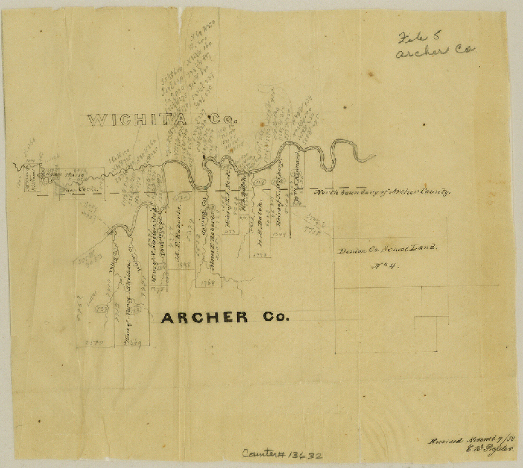
Archer County Sketch File 5
[Sketch of surveys on Wichita River in Wichita and Archer Counties]
-
Map/Doc
13632
-
Collection
General Map Collection
-
Object Dates
1858/11/9 (File Date)
1858 (Creation Date)
-
Counties
Archer Wichita
-
Subjects
Surveying Sketch File
-
Height x Width
7.8 x 8.7 inches
19.8 x 22.1 cm
-
Medium
paper, manuscript
Part of: General Map Collection
Anderson County Working Sketch 17

Print $40.00
- Digital $50.00
Anderson County Working Sketch 17
1941
Size 30.3 x 48.8 inches
Map/Doc 67017

Colorado County Sketch File 25

Print $8.00
- Digital $50.00
Colorado County Sketch File 25
1919
Size 11.5 x 8.8 inches
Map/Doc 18963
Old Miscellaneous File 1

Print $172.00
- Digital $50.00
Old Miscellaneous File 1
Size 8.3 x 6.6 inches
Map/Doc 75320

Harrison County Rolled Sketch 13

Print $20.00
- Digital $50.00
Harrison County Rolled Sketch 13
1967
Size 32.5 x 28.3 inches
Map/Doc 6156
Flight Mission No. CGI-1N, Frame 143, Cameron County

Print $20.00
- Digital $50.00
Flight Mission No. CGI-1N, Frame 143, Cameron County
1955
Size 18.6 x 22.1 inches
Map/Doc 84499
[Surveys between the Caddo River and south fork of the Sabine River]
![280, [Surveys between the Caddo River and south fork of the Sabine River], General Map Collection](https://historictexasmaps.com/wmedia_w700/maps/280.tif.jpg)
Print $2.00
- Digital $50.00
[Surveys between the Caddo River and south fork of the Sabine River]
Size 7.8 x 6.5 inches
Map/Doc 280
San Jacinto County Sketch File O

Print $4.00
San Jacinto County Sketch File O
Size 7.8 x 8.1 inches
Map/Doc 35696
Stonewall County Working Sketch 31

Print $20.00
- Digital $50.00
Stonewall County Working Sketch 31
1983
Size 42.6 x 42.9 inches
Map/Doc 62338
Anderson County Working Sketch 4

Print $20.00
- Digital $50.00
Anderson County Working Sketch 4
Size 15.9 x 21.4 inches
Map/Doc 67003
Real County Working Sketch 82

Print $20.00
- Digital $50.00
Real County Working Sketch 82
1985
Size 24.9 x 23.5 inches
Map/Doc 71974
You may also like
United States Great Lakes and adjacent waterways

Print $20.00
- Digital $50.00
United States Great Lakes and adjacent waterways
Size 20.8 x 42.2 inches
Map/Doc 76121
Hall County Sketch File C2

Print $6.00
- Digital $50.00
Hall County Sketch File C2
1905
Size 14.4 x 9.0 inches
Map/Doc 24789
Map of the State of Texas Engraved to Illustrate Mitchell's School and Family Geography

Print $20.00
Map of the State of Texas Engraved to Illustrate Mitchell's School and Family Geography
1846
Size 12.0 x 9.6 inches
Map/Doc 87902
Gray County Sketch File 6

Print $20.00
- Digital $50.00
Gray County Sketch File 6
1882
Size 26.3 x 21.4 inches
Map/Doc 11575
Block No. 45 of the H. & T. C. R.R. Co. and Block No. 4T of the T. & N. O. R.R. Co. in Hansford and Ochiltree Cos. as resurveyed by J.L. Long, State Surveyor

Print $20.00
- Digital $50.00
Block No. 45 of the H. & T. C. R.R. Co. and Block No. 4T of the T. & N. O. R.R. Co. in Hansford and Ochiltree Cos. as resurveyed by J.L. Long, State Surveyor
1888
Size 34.1 x 28.1 inches
Map/Doc 75820
Burleson County Working Sketch 34

Print $20.00
- Digital $50.00
Burleson County Working Sketch 34
1981
Size 20.0 x 12.2 inches
Map/Doc 67753
Aransas Pass to Baffin Bay

Print $20.00
- Digital $50.00
Aransas Pass to Baffin Bay
1922
Size 18.6 x 27.8 inches
Map/Doc 73409
San Patricio County Working Sketch 6

Print $40.00
- Digital $50.00
San Patricio County Working Sketch 6
1934
Size 44.0 x 87.3 inches
Map/Doc 63768
Glasscock County

Print $20.00
- Digital $50.00
Glasscock County
1899
Size 38.1 x 33.9 inches
Map/Doc 4707
Plan C, Part 1st Shewing that portion of the boundary between Texas and the United States, included between the intersection of the 32nd degree of Latitude with western bank of Sabine River and the 36th mile mound

Print $20.00
- Digital $50.00
Plan C, Part 1st Shewing that portion of the boundary between Texas and the United States, included between the intersection of the 32nd degree of Latitude with western bank of Sabine River and the 36th mile mound
1842
Size 19.4 x 27.7 inches
Map/Doc 65412
Sutton County Sketch File Ca

Print $6.00
- Digital $50.00
Sutton County Sketch File Ca
1901
Size 12.3 x 9.8 inches
Map/Doc 37382
Flight Mission No. CGI-3N, Frame 74, Cameron County

Print $20.00
- Digital $50.00
Flight Mission No. CGI-3N, Frame 74, Cameron County
1954
Size 18.7 x 22.2 inches
Map/Doc 84568