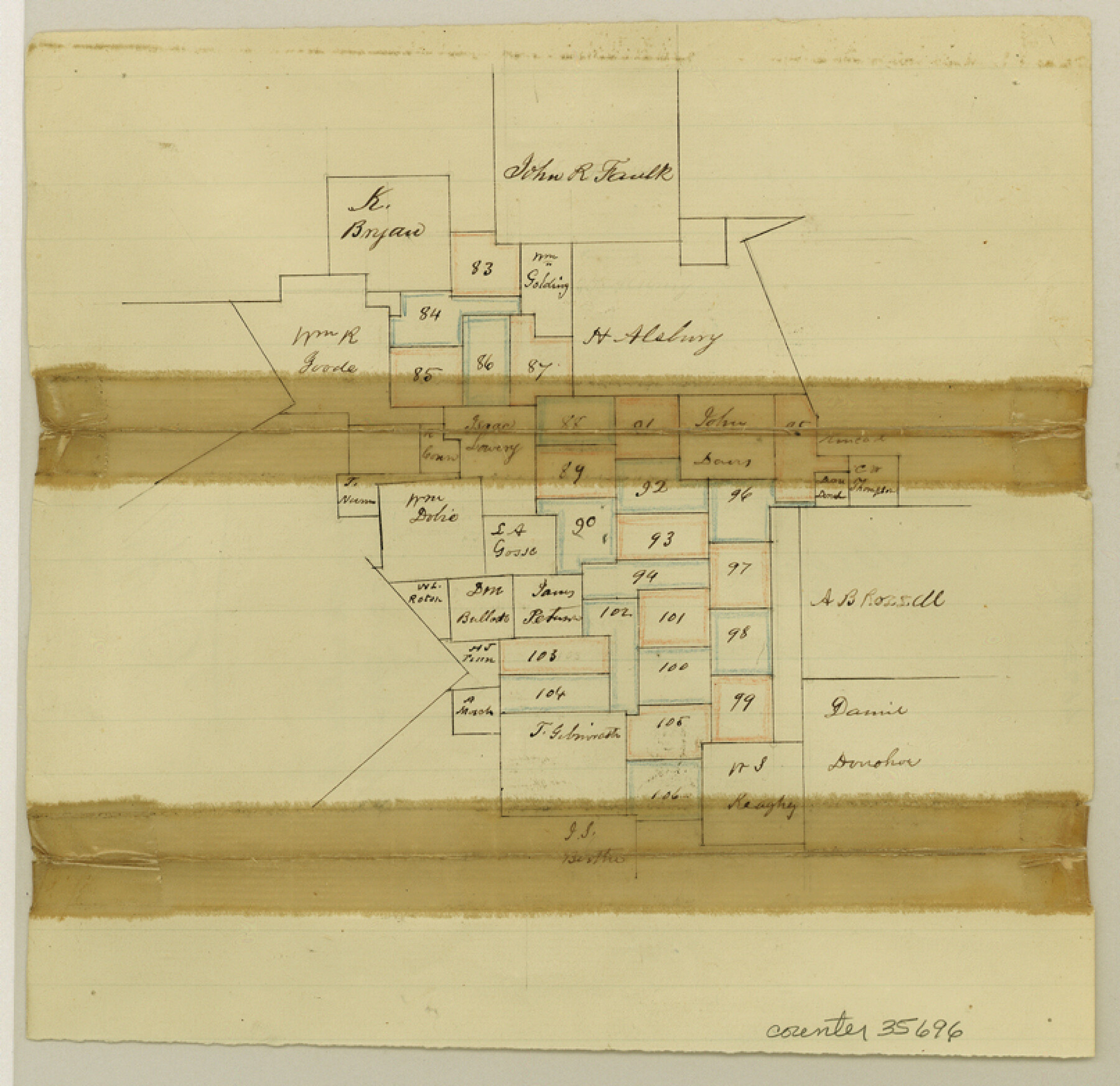
San Jacinto County Sketch File O
[Sketch of area in the south part of San Jacinto County extending into Liberty County]
-
Map/Doc
35696
-
Collection
General Map Collection
-
Counties
San Jacinto Liberty
-
Subjects
Surveying Sketch File
-
Height x Width
7.8 x 8.1 inches
19.8 x 20.6 cm
-
Medium
paper, manuscript
Part of: General Map Collection
Jefferson County NRC Article 33.136 Sketch 1

Print $20.00
- Digital $50.00
Jefferson County NRC Article 33.136 Sketch 1
2002
Size 24.0 x 36.1 inches
Map/Doc 61601
Runnels County Sketch File 4

Print $6.00
Runnels County Sketch File 4
1871
Size 12.9 x 8.1 inches
Map/Doc 35434
Pecos County Rolled Sketch 105

Print $20.00
- Digital $50.00
Pecos County Rolled Sketch 105
1940
Size 30.7 x 37.7 inches
Map/Doc 9717
Angelina County Working Sketch 25

Print $20.00
- Digital $50.00
Angelina County Working Sketch 25
1954
Size 25.0 x 17.5 inches
Map/Doc 67107
Cooke County Sketch File 43

Print $28.00
- Digital $50.00
Cooke County Sketch File 43
Size 14.4 x 8.7 inches
Map/Doc 19320
Pecos County Rolled Sketch 46

Print $3.00
- Digital $50.00
Pecos County Rolled Sketch 46
1913
Size 13.4 x 9.7 inches
Map/Doc 7224
Montgomery County Sketch File 6b

Print $40.00
- Digital $50.00
Montgomery County Sketch File 6b
Size 12.8 x 16.2 inches
Map/Doc 31783
San Jacinto County Working Sketch 18

Print $20.00
- Digital $50.00
San Jacinto County Working Sketch 18
1938
Size 20.8 x 19.5 inches
Map/Doc 63731
Flight Mission No. BRA-7M, Frame 208, Jefferson County

Print $20.00
- Digital $50.00
Flight Mission No. BRA-7M, Frame 208, Jefferson County
1953
Size 18.5 x 22.3 inches
Map/Doc 85576
Kent County Working Sketch 18

Print $20.00
- Digital $50.00
Kent County Working Sketch 18
1974
Size 33.5 x 31.5 inches
Map/Doc 70025
Flight Mission No. BRE-1P, Frame 114, Nueces County

Print $20.00
- Digital $50.00
Flight Mission No. BRE-1P, Frame 114, Nueces County
1956
Size 18.6 x 22.9 inches
Map/Doc 86680
Goliad County Sketch File 13

Print $8.00
- Digital $50.00
Goliad County Sketch File 13
1856
Size 12.4 x 8.0 inches
Map/Doc 24239
You may also like
Liberty County Sketch File 53

Print $42.00
- Digital $50.00
Liberty County Sketch File 53
1900
Size 7.5 x 8.5 inches
Map/Doc 30019
Map of the country scouted by Colonels McKenzie and Shafter, Capt. R.P. Wilson and others in the years, 1874 & 1875

Print $20.00
- Digital $50.00
Map of the country scouted by Colonels McKenzie and Shafter, Capt. R.P. Wilson and others in the years, 1874 & 1875
1876
Size 43.0 x 31.8 inches
Map/Doc 62972
[Surveys in Jackson County]
![78354, [Surveys in Jackson County], General Map Collection](https://historictexasmaps.com/wmedia_w700/maps/78354.tif.jpg)
Print $20.00
- Digital $50.00
[Surveys in Jackson County]
Size 20.2 x 19.3 inches
Map/Doc 78354
[Texas & Pacific Railway through Callahan County]
![64234, [Texas & Pacific Railway through Callahan County], General Map Collection](https://historictexasmaps.com/wmedia_w700/maps/64234.tif.jpg)
Print $20.00
- Digital $50.00
[Texas & Pacific Railway through Callahan County]
1918
Size 21.3 x 8.8 inches
Map/Doc 64234
McLennan County Working Sketch 6

Print $20.00
- Digital $50.00
McLennan County Working Sketch 6
1957
Size 26.7 x 24.8 inches
Map/Doc 70699
Burnet County Working Sketch 3

Print $20.00
- Digital $50.00
Burnet County Working Sketch 3
1953
Size 31.4 x 26.9 inches
Map/Doc 67846
Smith County Working Sketch 3

Print $20.00
- Digital $50.00
Smith County Working Sketch 3
Size 16.0 x 12.6 inches
Map/Doc 63888

Maps of Gulf Intracoastal Waterway, Texas - Sabine River to the Rio Grande and connecting waterways including ship channels

Print $20.00
- Digital $50.00
Maps of Gulf Intracoastal Waterway, Texas - Sabine River to the Rio Grande and connecting waterways including ship channels
1966
Size 14.5 x 22.2 inches
Map/Doc 61932
Edwards County Sketch File 18

Print $6.00
- Digital $50.00
Edwards County Sketch File 18
Size 16.3 x 10.6 inches
Map/Doc 21738
Travis County Rolled Sketch 30

Print $20.00
- Digital $50.00
Travis County Rolled Sketch 30
1943
Size 26.5 x 25.6 inches
Map/Doc 8032
Flight Mission No. DQN-1K, Frame 154, Calhoun County

Print $20.00
- Digital $50.00
Flight Mission No. DQN-1K, Frame 154, Calhoun County
1953
Size 18.7 x 22.4 inches
Map/Doc 84213