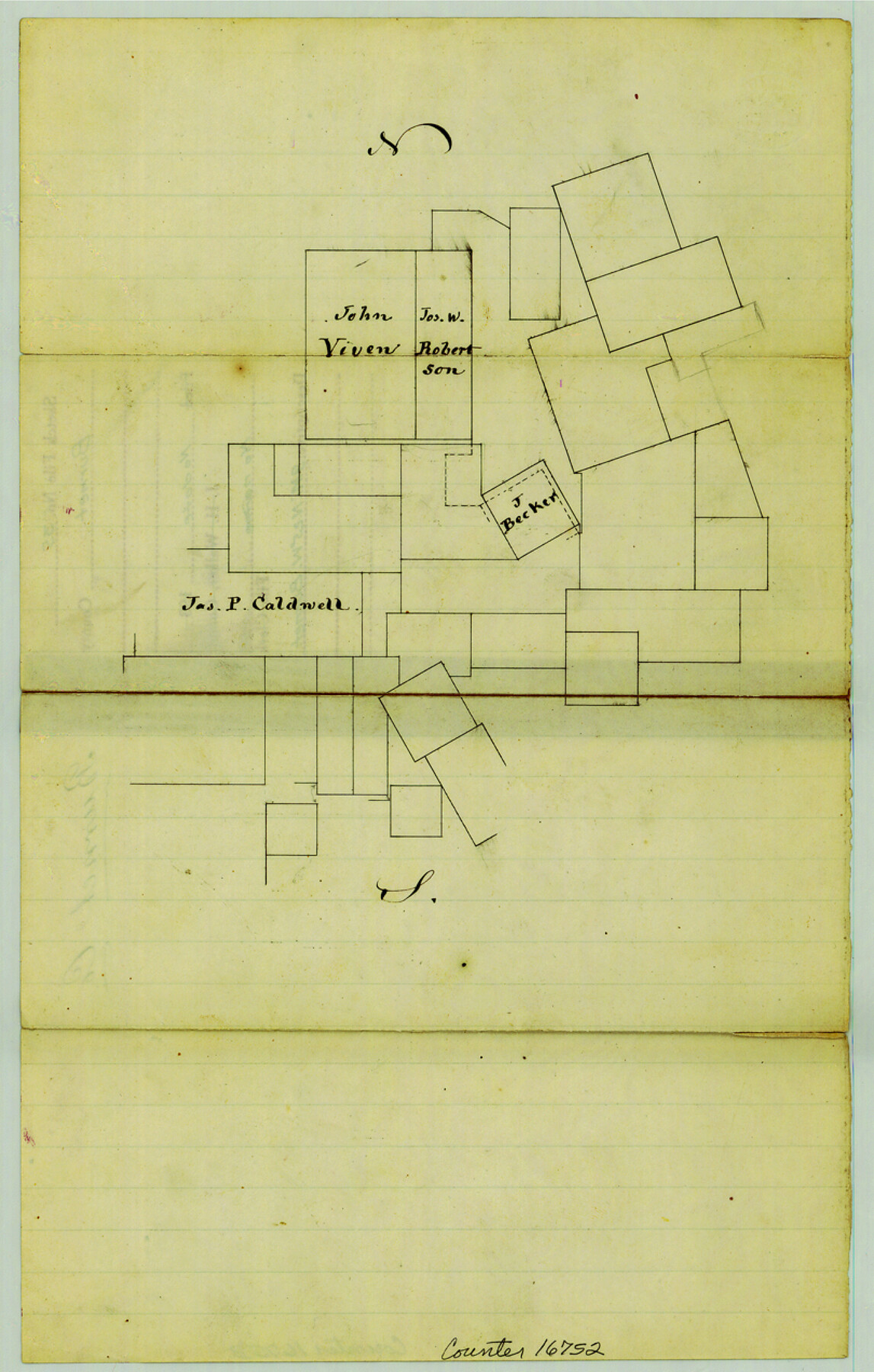
Burnet County Sketch File 35
[Sketch of area around the Viven and Robertson surveys northwest of Burnet]
-
Map/Doc
16752
-
Collection
General Map Collection
-
Counties
Burnet
-
Subjects
Surveying Sketch File
-
Height x Width
12.7 x 8.1 inches
32.3 x 20.6 cm
-
Medium
paper, manuscript
Part of: General Map Collection
Val Verde County Working Sketch 63

Print $20.00
- Digital $50.00
Val Verde County Working Sketch 63
1959
Size 23.2 x 32.1 inches
Map/Doc 72198
Fractional Township No. 7 South Range No. 7 East of the Indian Meridian, Indian Territory

Print $20.00
- Digital $50.00
Fractional Township No. 7 South Range No. 7 East of the Indian Meridian, Indian Territory
1898
Size 19.2 x 24.3 inches
Map/Doc 75212
Culberson County Working Sketch 84

Print $20.00
- Digital $50.00
Culberson County Working Sketch 84
1980
Size 43.5 x 42.9 inches
Map/Doc 68538
Kinney County Sketch File 17

Print $3.00
- Digital $50.00
Kinney County Sketch File 17
1888
Size 11.7 x 16.9 inches
Map/Doc 11942
Sketch of the line of march of the 2nd US Dragoons commanded by Col D. E. Tuiggs from Fort Jesup, La to Corpus Christi, Texas between the 25th of July and the 27th Aug, 1845

Print $20.00
- Digital $50.00
Sketch of the line of march of the 2nd US Dragoons commanded by Col D. E. Tuiggs from Fort Jesup, La to Corpus Christi, Texas between the 25th of July and the 27th Aug, 1845
1845
Size 25.4 x 18.3 inches
Map/Doc 72724
Loving County Sketch File 10

Print $2.00
- Digital $50.00
Loving County Sketch File 10
2016
Size 11.0 x 8.5 inches
Map/Doc 94115
Kendall County Sketch File 16a

Print $40.00
- Digital $50.00
Kendall County Sketch File 16a
1891
Size 15.3 x 13.7 inches
Map/Doc 28707
Zapata County Sketch File 2

Print $20.00
- Digital $50.00
Zapata County Sketch File 2
1875
Size 24.3 x 32.8 inches
Map/Doc 12718
Williamson County Rolled Sketch 10

Print $20.00
- Digital $50.00
Williamson County Rolled Sketch 10
1975
Size 24.8 x 19.2 inches
Map/Doc 8267
San Augustine County Sketch File 18

Print $6.00
San Augustine County Sketch File 18
Size 14.4 x 8.9 inches
Map/Doc 35675
Stonewall County Rolled Sketch 24A

Print $40.00
- Digital $50.00
Stonewall County Rolled Sketch 24A
1954
Size 55.0 x 47.1 inches
Map/Doc 9963
Copy of Surveyor's Field Book, Morris Browning - In Blocks 7, 5 & 4, I&GNRRCo., Hutchinson and Carson Counties, Texas

Print $2.00
- Digital $50.00
Copy of Surveyor's Field Book, Morris Browning - In Blocks 7, 5 & 4, I&GNRRCo., Hutchinson and Carson Counties, Texas
1888
Size 7.0 x 8.9 inches
Map/Doc 62266
You may also like
Archer County Boundary File 6

Print $62.00
- Digital $50.00
Archer County Boundary File 6
Size 22.5 x 6.1 inches
Map/Doc 50113
Adrian Heights Addition to Adrian, Located in Section 16, Block K11, Oldham County, Texas

Print $20.00
- Digital $50.00
Adrian Heights Addition to Adrian, Located in Section 16, Block K11, Oldham County, Texas
Size 23.8 x 11.6 inches
Map/Doc 91437
Denton County Sketch File 3

Print $4.00
- Digital $50.00
Denton County Sketch File 3
1855
Size 12.5 x 8.2 inches
Map/Doc 20688
San Patricio County Sketch File 17

Print $20.00
San Patricio County Sketch File 17
1873
Size 12.0 x 19.0 inches
Map/Doc 12284
Map of Portion of Pecos County as Surveyed by F. F. Friend

Print $20.00
- Digital $50.00
Map of Portion of Pecos County as Surveyed by F. F. Friend
1926
Size 18.8 x 15.5 inches
Map/Doc 91561
Van Zandt County Sketch File 47a

Print $7.00
- Digital $50.00
Van Zandt County Sketch File 47a
1875
Size 10.0 x 8.2 inches
Map/Doc 39507
Wharton County Sketch File 10a

Print $20.00
- Digital $50.00
Wharton County Sketch File 10a
Size 11.0 x 19.0 inches
Map/Doc 12660

The Scarborough Company's New Railroad, Post Office & County Map of Texas, Oklahoma and Indian Territory Compiled from the Latest Government Surveys and Original Sources

Print $20.00
The Scarborough Company's New Railroad, Post Office & County Map of Texas, Oklahoma and Indian Territory Compiled from the Latest Government Surveys and Original Sources
1904
Size 43.1 x 47.8 inches
Map/Doc 93967
Brewster County Working Sketch 94

Print $40.00
- Digital $50.00
Brewster County Working Sketch 94
1975
Size 58.7 x 39.5 inches
Map/Doc 67694
[Map of the Hearne and Brazos Valley Railroad from Mumford to Moseley's Ferry]
![64401, [Map of the Hearne and Brazos Valley Railroad from Mumford to Moseley's Ferry], General Map Collection](https://historictexasmaps.com/wmedia_w700/maps/64401.tif.jpg)
Print $40.00
- Digital $50.00
[Map of the Hearne and Brazos Valley Railroad from Mumford to Moseley's Ferry]
1892
Size 20.0 x 71.5 inches
Map/Doc 64401
[Sketch for Mineral Application 17237 / Mineral File 11855 - Neches River, Joe A. Sanders]
![65686, [Sketch for Mineral Application 17237 / Mineral File 11855 - Neches River, Joe A. Sanders], General Map Collection](https://historictexasmaps.com/wmedia_w700/maps/65686.tif.jpg)
Print $40.00
- Digital $50.00
[Sketch for Mineral Application 17237 / Mineral File 11855 - Neches River, Joe A. Sanders]
1927
Size 78.2 x 30.7 inches
Map/Doc 65686