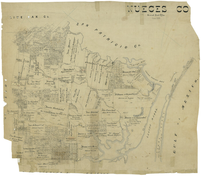
[Palmer and Castro Counties]
N-2-63
-
Map/Doc
1763
-
Collection
General Map Collection
-
Object Dates
1910 (Creation Date)
-
Counties
Castro Parmer
-
Subjects
County
-
Height x Width
19.3 x 26.3 inches
49.0 x 66.8 cm
Part of: General Map Collection
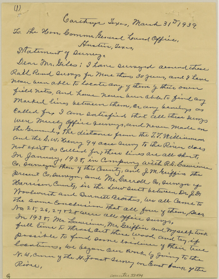
Panola County Sketch File 24

Print $8.00
- Digital $50.00
Panola County Sketch File 24
1939
Size 11.1 x 8.7 inches
Map/Doc 33494
Colorado County Rolled Sketch 4


Print $20.00
- Digital $50.00
Colorado County Rolled Sketch 4
1944
Size 31.9 x 21.9 inches
Map/Doc 8643
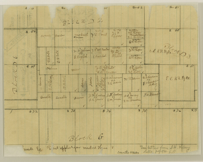
Floyd County Sketch File A

Print $4.00
- Digital $50.00
Floyd County Sketch File A
1893
Size 9.0 x 11.3 inches
Map/Doc 22684
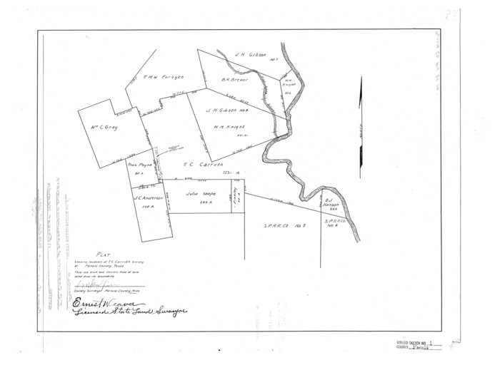
Panola County Rolled Sketch 1

Print $20.00
- Digital $50.00
Panola County Rolled Sketch 1
Size 17.5 x 23.9 inches
Map/Doc 7196
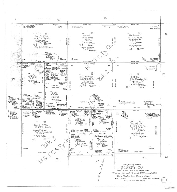
Scurry County Working Sketch 11

Print $20.00
- Digital $50.00
Scurry County Working Sketch 11
1999
Size 26.1 x 24.1 inches
Map/Doc 63840
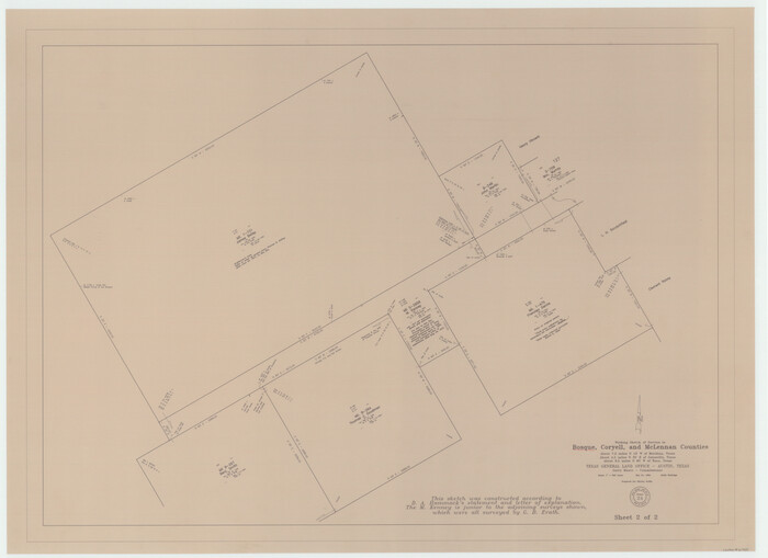
Bosque County Working Sketch 24

Print $20.00
- Digital $50.00
Bosque County Working Sketch 24
1994
Size 34.4 x 47.4 inches
Map/Doc 67457
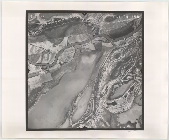
Flight Mission No. CGI-4N, Frame 158, Cameron County

Print $20.00
- Digital $50.00
Flight Mission No. CGI-4N, Frame 158, Cameron County
1955
Size 18.5 x 22.2 inches
Map/Doc 84666
Presidio County Sketch File 79

Print $20.00
- Digital $50.00
Presidio County Sketch File 79
1949
Size 17.0 x 30.8 inches
Map/Doc 11722
Liberty County Sketch File 6
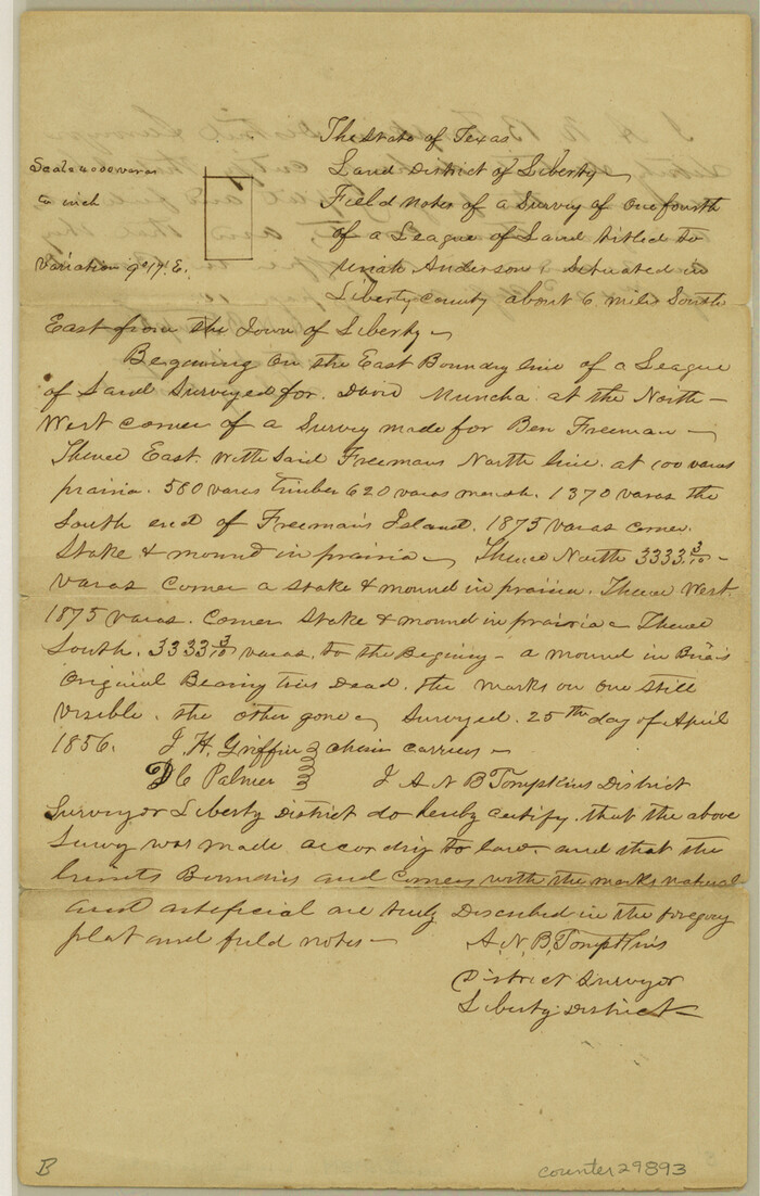

Print $6.00
- Digital $50.00
Liberty County Sketch File 6
1856
Size 12.1 x 7.7 inches
Map/Doc 29893
La Salle County Rolled Sketch 16


Print $20.00
- Digital $50.00
La Salle County Rolled Sketch 16
1948
Size 26.7 x 20.9 inches
Map/Doc 6580
Leon County Rolled Sketch 7
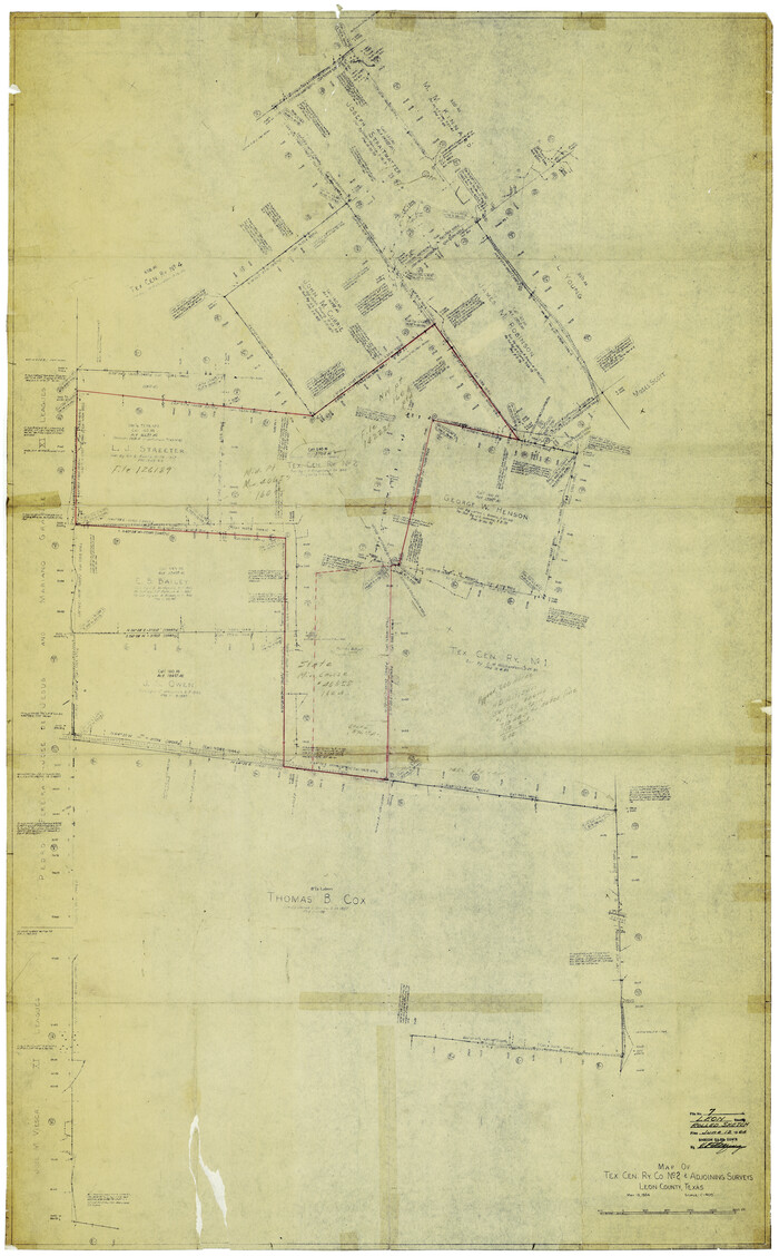

Print $40.00
- Digital $50.00
Leon County Rolled Sketch 7
1954
Size 55.9 x 35.0 inches
Map/Doc 9428
Bandera County Working Sketch 15
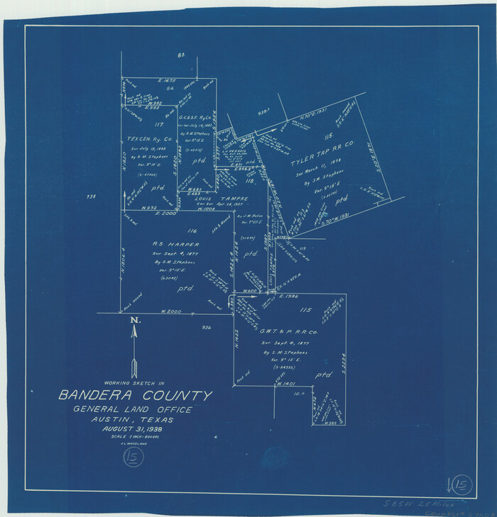

Print $20.00
- Digital $50.00
Bandera County Working Sketch 15
1938
Size 18.1 x 17.4 inches
Map/Doc 67608
You may also like
Buenaventura Reyes Grants


Print $20.00
- Digital $50.00
Buenaventura Reyes Grants
1896
Size 14.9 x 13.5 inches
Map/Doc 2057
Crosby County Sketch File 5

Print $10.00
- Digital $50.00
Crosby County Sketch File 5
1887
Size 9.2 x 7.8 inches
Map/Doc 20002
Bee County Sketch File 13


Print $4.00
- Digital $50.00
Bee County Sketch File 13
1876
Size 12.6 x 8.1 inches
Map/Doc 14295
Topographic Map, Reynard Sheet, Trinity River; Houston and Leon Counties


Print $20.00
- Digital $50.00
Topographic Map, Reynard Sheet, Trinity River; Houston and Leon Counties
1925
Size 45.6 x 41.4 inches
Map/Doc 2469
San Augustine County Working Sketch 6
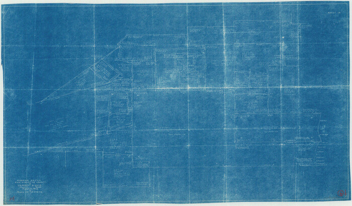

Print $20.00
- Digital $50.00
San Augustine County Working Sketch 6
1935
Size 22.2 x 37.9 inches
Map/Doc 63693
Calhoun County Rolled Sketch 7
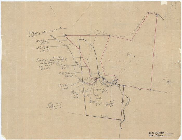

Print $20.00
- Digital $50.00
Calhoun County Rolled Sketch 7
Size 17.0 x 22.1 inches
Map/Doc 5363
Galveston County NRC Article 33.136 Sketch 83


Print $52.00
- Digital $50.00
Galveston County NRC Article 33.136 Sketch 83
2016
Size 22.5 x 34.0 inches
Map/Doc 94968
Dimmit County Working Sketch 17
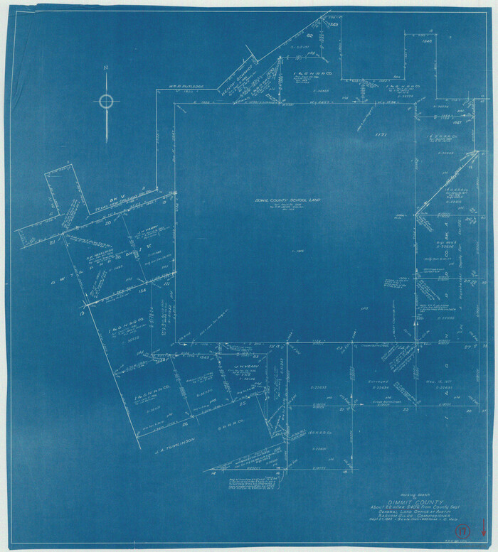

Print $20.00
- Digital $50.00
Dimmit County Working Sketch 17
1943
Size 27.4 x 24.7 inches
Map/Doc 68678
[West half of Deaf Smith County showing School Land Leagues]
![90612, [West half of Deaf Smith County showing School Land Leagues], Twichell Survey Records](https://historictexasmaps.com/wmedia_w700/maps/90612-1.tif.jpg)
![90612, [West half of Deaf Smith County showing School Land Leagues], Twichell Survey Records](https://historictexasmaps.com/wmedia_w700/maps/90612-1.tif.jpg)
Print $20.00
- Digital $50.00
[West half of Deaf Smith County showing School Land Leagues]
Size 31.4 x 18.3 inches
Map/Doc 90612
Ellis County Boundary File 6


Print $22.00
- Digital $50.00
Ellis County Boundary File 6
Size 8.6 x 6.0 inches
Map/Doc 52992
Hays County Sketch File 15

Print $40.00
- Digital $50.00
Hays County Sketch File 15
1871
Size 12.0 x 16.6 inches
Map/Doc 26225
![1763, [Palmer and Castro Counties], General Map Collection](https://historictexasmaps.com/wmedia_w1800h1800/maps/1763-1.tif.jpg)
