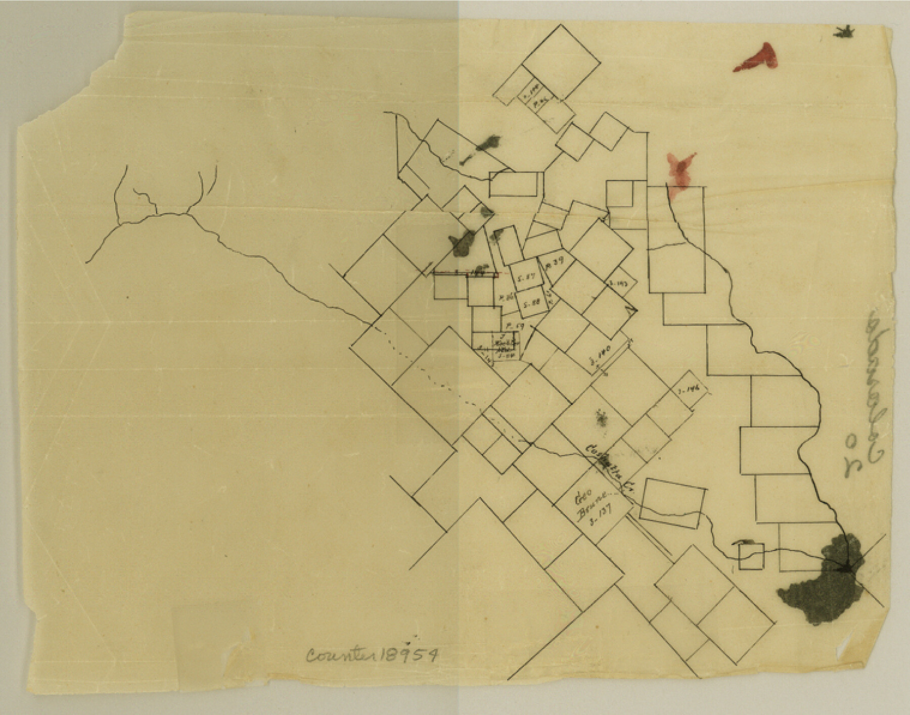
Colorado County Sketch File 20
[Two random sketches with no annotations]
-
Map/Doc
18954
-
Collection
General Map Collection
-
Counties
Colorado
-
Subjects
Surveying Sketch File
-
Height x Width
6.0 x 7.6 inches
15.2 x 19.3 cm
-
Medium
paper, manuscript
-
Scale
1" = 2000 varas
-
Features
Coshatta Creek
Eagle Lake
Part of: General Map Collection
Culberson County Working Sketch 46

Print $20.00
- Digital $50.00
Culberson County Working Sketch 46
1971
Size 25.9 x 37.4 inches
Map/Doc 68500
Nueces County Rolled Sketch 36

Print $199.00
- Digital $50.00
Nueces County Rolled Sketch 36
Size 10.7 x 15.2 inches
Map/Doc 47617
Edwards County Working Sketch 50

Print $20.00
- Digital $50.00
Edwards County Working Sketch 50
1950
Size 35.8 x 28.9 inches
Map/Doc 68926
Dawson County

Print $20.00
- Digital $50.00
Dawson County
1959
Size 43.1 x 35.1 inches
Map/Doc 95476
Aransas County Working Sketch 22

Print $20.00
- Digital $50.00
Aransas County Working Sketch 22
Size 24.3 x 18.2 inches
Map/Doc 67189
Crockett County Rolled Sketch 91

Print $40.00
- Digital $50.00
Crockett County Rolled Sketch 91
1928
Size 26.0 x 63.9 inches
Map/Doc 9033
Val Verde County Working Sketch 92

Print $20.00
- Digital $50.00
Val Verde County Working Sketch 92
1978
Size 30.3 x 35.3 inches
Map/Doc 72227
Crockett County Working Sketch 80

Print $20.00
- Digital $50.00
Crockett County Working Sketch 80
1973
Size 28.1 x 26.1 inches
Map/Doc 68413
Presidio County Working Sketch 75

Print $20.00
- Digital $50.00
Presidio County Working Sketch 75
1962
Size 36.3 x 32.4 inches
Map/Doc 71752
Crockett County Sketch File 86

Print $4.00
- Digital $50.00
Crockett County Sketch File 86
1939
Size 11.5 x 9.1 inches
Map/Doc 19908
Flight Mission No. CRC-5R, Frame 20, Chambers County

Print $20.00
- Digital $50.00
Flight Mission No. CRC-5R, Frame 20, Chambers County
1956
Size 18.8 x 22.4 inches
Map/Doc 84942
Wise County Working Sketch 6

Print $20.00
- Digital $50.00
Wise County Working Sketch 6
1950
Size 12.0 x 15.2 inches
Map/Doc 72620
You may also like
Crockett County, Texas

Print $20.00
- Digital $50.00
Crockett County, Texas
Size 39.8 x 30.8 inches
Map/Doc 92547
Brewster County Sketch File FN-30

Print $4.00
- Digital $50.00
Brewster County Sketch File FN-30
1975
Size 12.0 x 8.7 inches
Map/Doc 15850
Williamson County Rolled Sketch 8

Print $20.00
- Digital $50.00
Williamson County Rolled Sketch 8
Size 15.1 x 18.0 inches
Map/Doc 8265
Map of the United States and Canada designed to accompany Smith's Geography for Schools

Print $20.00
- Digital $50.00
Map of the United States and Canada designed to accompany Smith's Geography for Schools
1850
Size 12.1 x 19.2 inches
Map/Doc 93884
Real County Working Sketch 63

Print $20.00
- Digital $50.00
Real County Working Sketch 63
1967
Size 28.8 x 32.3 inches
Map/Doc 71955
Somervell County Rolled Sketch B

Print $20.00
- Digital $50.00
Somervell County Rolled Sketch B
Size 18.8 x 19.9 inches
Map/Doc 7792
Flight Mission No. BRE-1P, Frame 104, Nueces County

Print $20.00
- Digital $50.00
Flight Mission No. BRE-1P, Frame 104, Nueces County
1956
Size 18.4 x 22.2 inches
Map/Doc 86675
Pecos County Working Sketch 81

Print $40.00
- Digital $50.00
Pecos County Working Sketch 81
1961
Size 35.4 x 49.7 inches
Map/Doc 71553
Maverick County Sketch File 16

Print $20.00
- Digital $50.00
Maverick County Sketch File 16
1887
Size 14.1 x 34.5 inches
Map/Doc 12051
[Sketch of Blocks C2, C, D7, A, RG and San Augustine County School Land]
![93021, [Sketch of Blocks C2, C, D7, A, RG and San Augustine County School Land], Twichell Survey Records](https://historictexasmaps.com/wmedia_w700/maps/93021-1.tif.jpg)
Print $20.00
- Digital $50.00
[Sketch of Blocks C2, C, D7, A, RG and San Augustine County School Land]
Size 15.5 x 25.8 inches
Map/Doc 93021
Edwards County Working Sketch 44

Print $20.00
- Digital $50.00
Edwards County Working Sketch 44
1950
Size 44.1 x 26.0 inches
Map/Doc 68920
Jasper County Sketch File 32

Print $20.00
- Digital $50.00
Jasper County Sketch File 32
1906
Size 28.0 x 22.3 inches
Map/Doc 11853