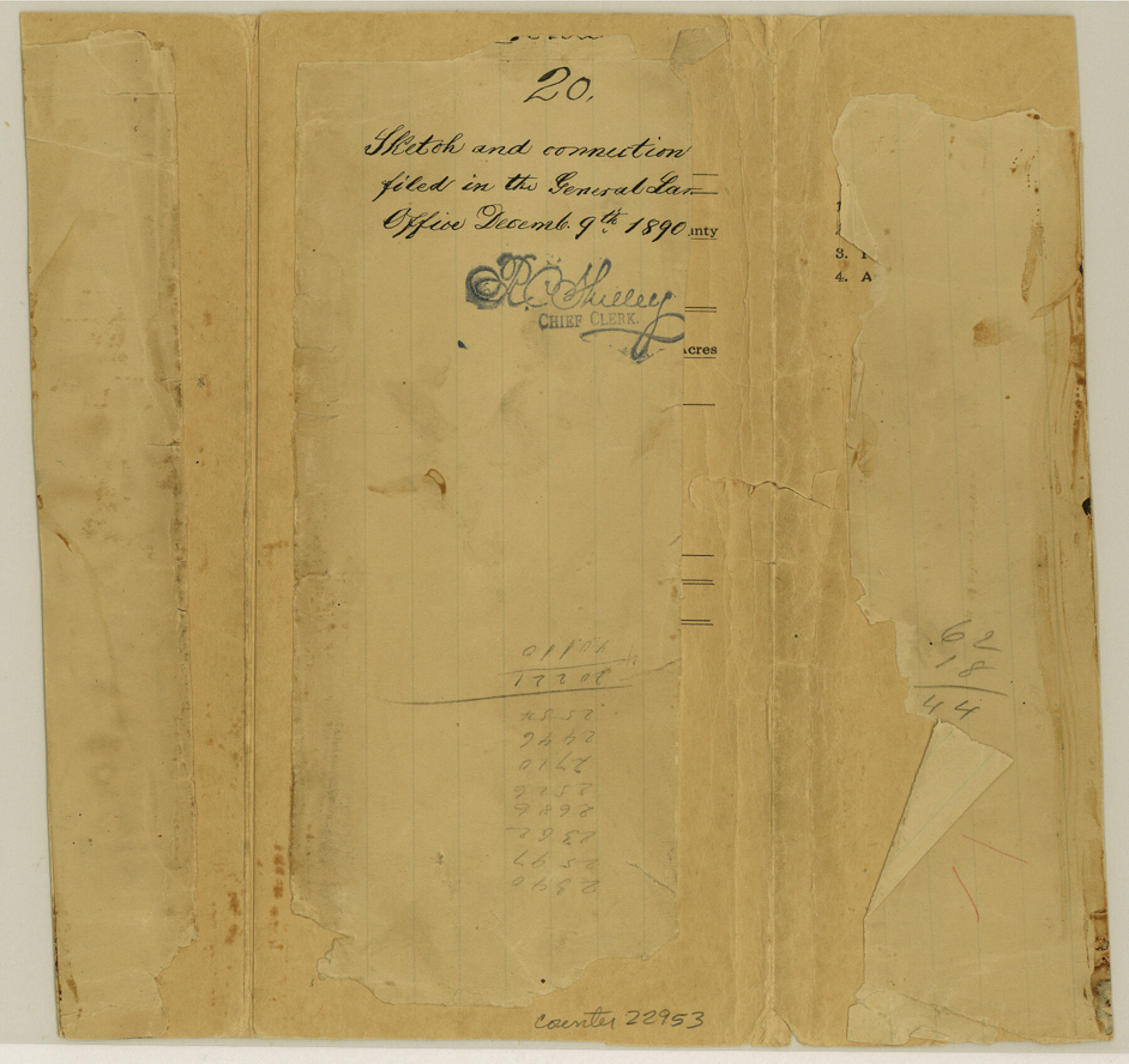
Fort Bend County Sketch File 20
[Jacket only]
-
Map/Doc
22953
-
Collection
General Map Collection
-
Object Dates
1890/12/9 (File Date)
-
Counties
Fort Bend
-
Subjects
Surveying Sketch File
-
Height x Width
8.9 x 9.4 inches
22.6 x 23.9 cm
-
Medium
paper, manuscript
Part of: General Map Collection
Flight Mission No. DAH-9M, Frame 160, Orange County

Print $20.00
- Digital $50.00
Flight Mission No. DAH-9M, Frame 160, Orange County
1953
Size 18.4 x 22.2 inches
Map/Doc 86859

Travis Station Map - Tracks and Structures - Lands San Antonio and Aransas Pass Railway Co.

Print $4.00
- Digital $50.00
Travis Station Map - Tracks and Structures - Lands San Antonio and Aransas Pass Railway Co.
1919
Size 11.7 x 18.5 inches
Map/Doc 62563
Orange County Working Sketch 52

Print $20.00
- Digital $50.00
Orange County Working Sketch 52
2006
Size 31.9 x 47.5 inches
Map/Doc 83069

Llano County Working Sketch 2

Print $20.00
- Digital $50.00
Llano County Working Sketch 2
1949
Size 21.0 x 24.3 inches
Map/Doc 70620
Connected Map of DeWitt's Colony compiled from the surveys of Byrd Lockhart

Print $40.00
- Digital $50.00
Connected Map of DeWitt's Colony compiled from the surveys of Byrd Lockhart
1831
Size 39.2 x 54.0 inches
Map/Doc 1942
Hunt County Boundary File 4

Print $16.00
- Digital $50.00
Hunt County Boundary File 4
Size 14.3 x 8.6 inches
Map/Doc 55214
Oldham County Rolled Sketch 8

Print $20.00
- Digital $50.00
Oldham County Rolled Sketch 8
1931
Size 39.2 x 29.0 inches
Map/Doc 7174
Falls County Sketch File 33

Print $4.00
- Digital $50.00
Falls County Sketch File 33
1873
Size 10.3 x 8.3 inches
Map/Doc 22441
Flight Mission No. BRE-1P, Frame 53, Nueces County

Print $20.00
- Digital $50.00
Flight Mission No. BRE-1P, Frame 53, Nueces County
1956
Size 18.5 x 22.4 inches
Map/Doc 86642
Flight Mission No. CRK-7P, Frame 79, Refugio County

Print $20.00
- Digital $50.00
Flight Mission No. CRK-7P, Frame 79, Refugio County
1956
Size 18.2 x 22.1 inches
Map/Doc 86950
You may also like
[Nueces Bay Islands and Nesting Birds]
![60312, [Nueces Bay Islands and Nesting Birds], General Map Collection](https://historictexasmaps.com/wmedia_w700/maps/60312.tif.jpg)
Print $2.00
- Digital $50.00
[Nueces Bay Islands and Nesting Birds]
1940
Size 11.4 x 7.2 inches
Map/Doc 60312

The Rand McNally New Commercial Atlas Map of Texas

Print $20.00
- Digital $50.00
The Rand McNally New Commercial Atlas Map of Texas
1919
Size 28.4 x 40.2 inches
Map/Doc 95852
Denton County Sketch File 9

Print $6.00
- Digital $50.00
Denton County Sketch File 9
1856
Size 8.6 x 13.3 inches
Map/Doc 20705
Texas City Channel, Texas, Channel and Turning Basin Dredging - Sheet 3

Print $20.00
- Digital $50.00
Texas City Channel, Texas, Channel and Turning Basin Dredging - Sheet 3
1958
Size 28.4 x 40.6 inches
Map/Doc 61833
Ft. Worth & Rio Grande Ry. west from Whiteland in McCulloch County

Print $20.00
- Digital $50.00
Ft. Worth & Rio Grande Ry. west from Whiteland in McCulloch County
Size 35.0 x 46.3 inches
Map/Doc 66908
Williamson County

Print $40.00
- Digital $50.00
Williamson County
1946
Size 40.1 x 57.7 inches
Map/Doc 63130
General Highway Map, Mitchell County, Texas

Print $20.00
General Highway Map, Mitchell County, Texas
1961
Size 18.1 x 24.6 inches
Map/Doc 79600
Bandera County Working Sketch 21

Print $20.00
- Digital $50.00
Bandera County Working Sketch 21
1948
Size 21.1 x 16.7 inches
Map/Doc 67617
City of Port Aransas

Print $40.00
- Digital $50.00
City of Port Aransas
1990
Size 25.2 x 53.3 inches
Map/Doc 3213

[Block B and surrounding areas]
![90331, [Block B and surrounding areas], Twichell Survey Records](https://historictexasmaps.com/wmedia_w700/maps/90331-1.tif.jpg)
Print $20.00
- Digital $50.00
[Block B and surrounding areas]
Size 20.3 x 20.3 inches
Map/Doc 90331