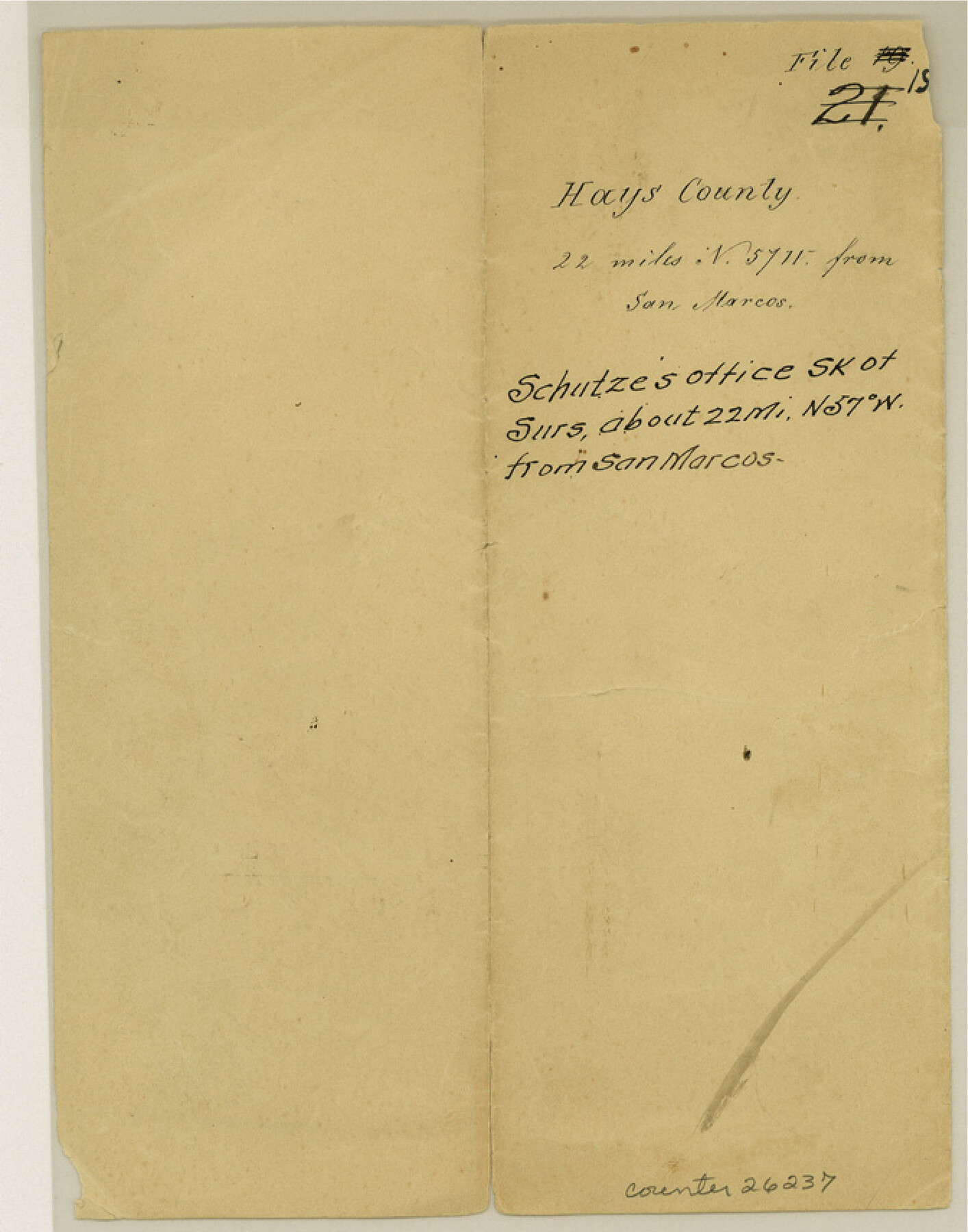
Hays County Sketch File 19
[Office sketch northwest from San Marcos]
-
Map/Doc
26237
-
Collection
General Map Collection
-
Counties
Hays Blanco
-
Subjects
Surveying Sketch File
-
Height x Width
8.5 x 6.7 inches
21.6 x 17.0 cm
-
Medium
paper, manuscript
Part of: General Map Collection
Kent County Working Sketch 19

Print $40.00
- Digital $50.00
Kent County Working Sketch 19
1980
Size 36.8 x 51.5 inches
Map/Doc 70026
Lampasas County Rolled Sketch 3

Print $20.00
- Digital $50.00
Lampasas County Rolled Sketch 3
Size 43.8 x 33.9 inches
Map/Doc 9554
Val Verde County Rolled Sketch JR

Print $20.00
- Digital $50.00
Val Verde County Rolled Sketch JR
1938
Size 35.9 x 31.1 inches
Map/Doc 10080
Reyno de la Nueva España a Principios del Siglo XIX

Print $20.00
- Digital $50.00
Reyno de la Nueva España a Principios del Siglo XIX
1885
Size 25.6 x 32.7 inches
Map/Doc 93751
Hudspeth County Sketch File 19

Print $4.00
- Digital $50.00
Hudspeth County Sketch File 19
1901
Size 11.3 x 8.8 inches
Map/Doc 26962
Upton County Rolled Sketch 12A

Print $20.00
- Digital $50.00
Upton County Rolled Sketch 12A
1913
Size 29.7 x 37.8 inches
Map/Doc 8069
Brewster County Working Sketch 47

Print $20.00
- Digital $50.00
Brewster County Working Sketch 47
1949
Size 42.9 x 35.4 inches
Map/Doc 67581
Flight Mission No. DQO-12K, Frame 37, Galveston County

Print $20.00
- Digital $50.00
Flight Mission No. DQO-12K, Frame 37, Galveston County
1952
Size 18.7 x 22.4 inches
Map/Doc 85228
Controlled Mosaic by Jack Amman Photogrammetric Engineers, Inc - Sheet 39

Print $20.00
- Digital $50.00
Controlled Mosaic by Jack Amman Photogrammetric Engineers, Inc - Sheet 39
1954
Size 20.0 x 24.0 inches
Map/Doc 83494

McCulloch County Sketch File 4

Print $4.00
- Digital $50.00
McCulloch County Sketch File 4
1883
Size 11.1 x 8.5 inches
Map/Doc 31175

You may also like
Flight Mission No. DQO-1K, Frame 147, Galveston County

Print $20.00
- Digital $50.00
Flight Mission No. DQO-1K, Frame 147, Galveston County
1952
Size 18.8 x 22.4 inches
Map/Doc 85000
Andrews County Sketch File 5

Print $4.00
- Digital $50.00
Andrews County Sketch File 5
1936
Size 11.8 x 8.8 inches
Map/Doc 12823
Northern Part of Laguna Madre

Print $20.00
- Digital $50.00
Northern Part of Laguna Madre
1992
Size 45.4 x 35.3 inches
Map/Doc 73532
Matagorda County Rolled Sketch 26

Print $20.00
- Digital $50.00
Matagorda County Rolled Sketch 26
1950
Size 39.5 x 42.1 inches
Map/Doc 9479
Irion County Rolled Sketch 20

Print $20.00
- Digital $50.00
Irion County Rolled Sketch 20
1936
Size 26.3 x 42.7 inches
Map/Doc 6329
Dawson County Rolled Sketch 5

Print $20.00
- Digital $50.00
Dawson County Rolled Sketch 5
1913
Size 33.6 x 28.0 inches
Map/Doc 5691
The Coast of Texas

Print $20.00
- Digital $50.00
The Coast of Texas
1844
Size 18.3 x 26.9 inches
Map/Doc 72697
Duval County Sketch File 35

Print $24.00
- Digital $50.00
Duval County Sketch File 35
Size 14.4 x 8.8 inches
Map/Doc 21359
Terrell County Working Sketch 62

Print $20.00
- Digital $50.00
Terrell County Working Sketch 62
1963
Size 32.2 x 34.4 inches
Map/Doc 69583
Menard County Sketch File 17

Print $20.00
- Digital $50.00
Menard County Sketch File 17
1914
Size 35.4 x 20.1 inches
Map/Doc 12075
Winkler County Rolled Sketch 16

Print $20.00
- Digital $50.00
Winkler County Rolled Sketch 16
1927
Size 22.5 x 32.6 inches
Map/Doc 8276
San Augustine County Working Sketch 23

Print $20.00
- Digital $50.00
San Augustine County Working Sketch 23
1974
Size 23.6 x 36.4 inches
Map/Doc 63711