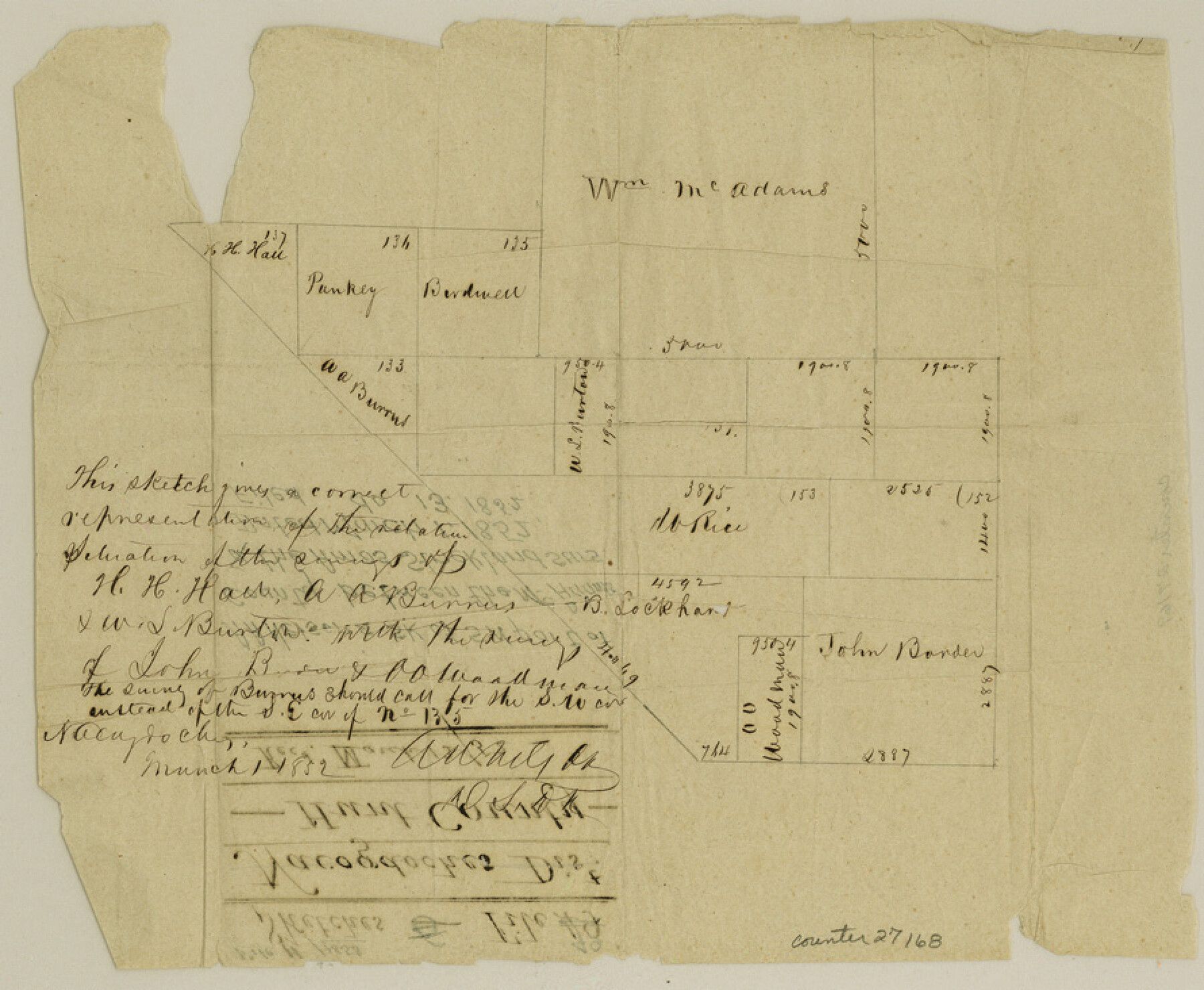
Hunt County Sketch File 49
[Sketch of southwest part of county between the McAdams and the Amos Strickland surveys]
-
Map/Doc
27168
-
Collection
General Map Collection
-
Object Dates
3/1/1852 (Creation Date)
3/13/1852 (File Date)
-
People and Organizations
A.A. Nelson (Surveyor/Engineer)
-
Counties
Hunt
-
Subjects
Surveying Sketch File
-
Height x Width
7.3 x 8.9 inches
18.5 x 22.6 cm
-
Medium
paper, manuscript
Part of: General Map Collection
Cherokee County Sketch File 25

Print $4.00
- Digital $50.00
Cherokee County Sketch File 25
1852
Size 12.8 x 8.1 inches
Map/Doc 18167
Flight Mission No. BRE-1P, Frame 139, Nueces County

Print $20.00
- Digital $50.00
Flight Mission No. BRE-1P, Frame 139, Nueces County
1956
Size 18.8 x 22.6 inches
Map/Doc 86699
Randall County Sketch File 8

Print $20.00
- Digital $50.00
Randall County Sketch File 8
Size 18.1 x 23.1 inches
Map/Doc 12209
Jack County Boundary File 1a

Print $16.00
- Digital $50.00
Jack County Boundary File 1a
Size 10.7 x 8.4 inches
Map/Doc 55376
Spanish Dominions in North America, Northern Part

Print $20.00
- Digital $50.00
Spanish Dominions in North America, Northern Part
1811
Size 22.1 x 30.5 inches
Map/Doc 95133
Flight Mission No. BRE-2P, Frame 82, Nueces County

Print $20.00
- Digital $50.00
Flight Mission No. BRE-2P, Frame 82, Nueces County
1956
Size 18.5 x 22.6 inches
Map/Doc 86777

Crane County Working Sketch 33

Print $20.00
- Digital $50.00
Crane County Working Sketch 33
1985
Size 30.3 x 27.6 inches
Map/Doc 68310
Edwards County Working Sketch 125

Print $20.00
- Digital $50.00
Edwards County Working Sketch 125
1977
Size 22.3 x 23.5 inches
Map/Doc 69001
Controlled Mosaic by Jack Amman Photogrammetric Engineers, Inc - Sheet 8

Print $20.00
- Digital $50.00
Controlled Mosaic by Jack Amman Photogrammetric Engineers, Inc - Sheet 8
1954
Size 20.0 x 24.0 inches
Map/Doc 83452
Potter County Rolled Sketch 9

Print $20.00
- Digital $50.00
Potter County Rolled Sketch 9
1931
Size 36.7 x 25.3 inches
Map/Doc 7322
Strip Map of Texas-Oklahoma Boundary from Denison East to the Oklahoma-Arkansas State Line

Print $20.00
- Digital $50.00
Strip Map of Texas-Oklahoma Boundary from Denison East to the Oklahoma-Arkansas State Line
1933
Size 37.7 x 24.5 inches
Map/Doc 75927
You may also like
Uvalde County Working Sketch 6

Print $20.00
- Digital $50.00
Uvalde County Working Sketch 6
1940
Size 37.8 x 38.9 inches
Map/Doc 72076
Cooke County Sketch File 39

Print $20.00
- Digital $50.00
Cooke County Sketch File 39
1927
Size 10.9 x 18.2 inches
Map/Doc 11176
Rusk County Sketch File 38

Print $6.00
Rusk County Sketch File 38
1951
Size 11.3 x 8.8 inches
Map/Doc 35576
Dimmit County Sketch File 30

Print $4.00
- Digital $50.00
Dimmit County Sketch File 30
Size 10.6 x 8.5 inches
Map/Doc 21146
North end of Brazos Island

Print $20.00
- Digital $50.00
North end of Brazos Island
Size 26.0 x 18.2 inches
Map/Doc 72916
Comanche County Sketch File 7

Print $6.00
- Digital $50.00
Comanche County Sketch File 7
1852
Size 9.9 x 8.1 inches
Map/Doc 19063
Pecos County Working Sketch 61

Print $20.00
- Digital $50.00
Pecos County Working Sketch 61
1952
Size 28.4 x 22.7 inches
Map/Doc 71533
[Surveys in Austin's Colony on the east side of the Colorado River]
![167, [Surveys in Austin's Colony on the east side of the Colorado River], General Map Collection](https://historictexasmaps.com/wmedia_w700/maps/167.tif.jpg)
Print $20.00
- Digital $50.00
[Surveys in Austin's Colony on the east side of the Colorado River]
1830
Size 30.9 x 25.1 inches
Map/Doc 167
Lubbock County Texas

Print $20.00
- Digital $50.00
Lubbock County Texas
Size 42.7 x 46.7 inches
Map/Doc 89892
Hutchinson County Working Sketch 7

Print $20.00
- Digital $50.00
Hutchinson County Working Sketch 7
1917
Size 16.5 x 11.9 inches
Map/Doc 66365
Galveston to Rio Grande

Print $20.00
- Digital $50.00
Galveston to Rio Grande
1961
Size 44.4 x 37.2 inches
Map/Doc 69954
Part of Garza, Crosby, Lynn, and Lubbock Counties

Print $20.00
- Digital $50.00
Part of Garza, Crosby, Lynn, and Lubbock Counties
1912
Size 25.4 x 20.4 inches
Map/Doc 91328