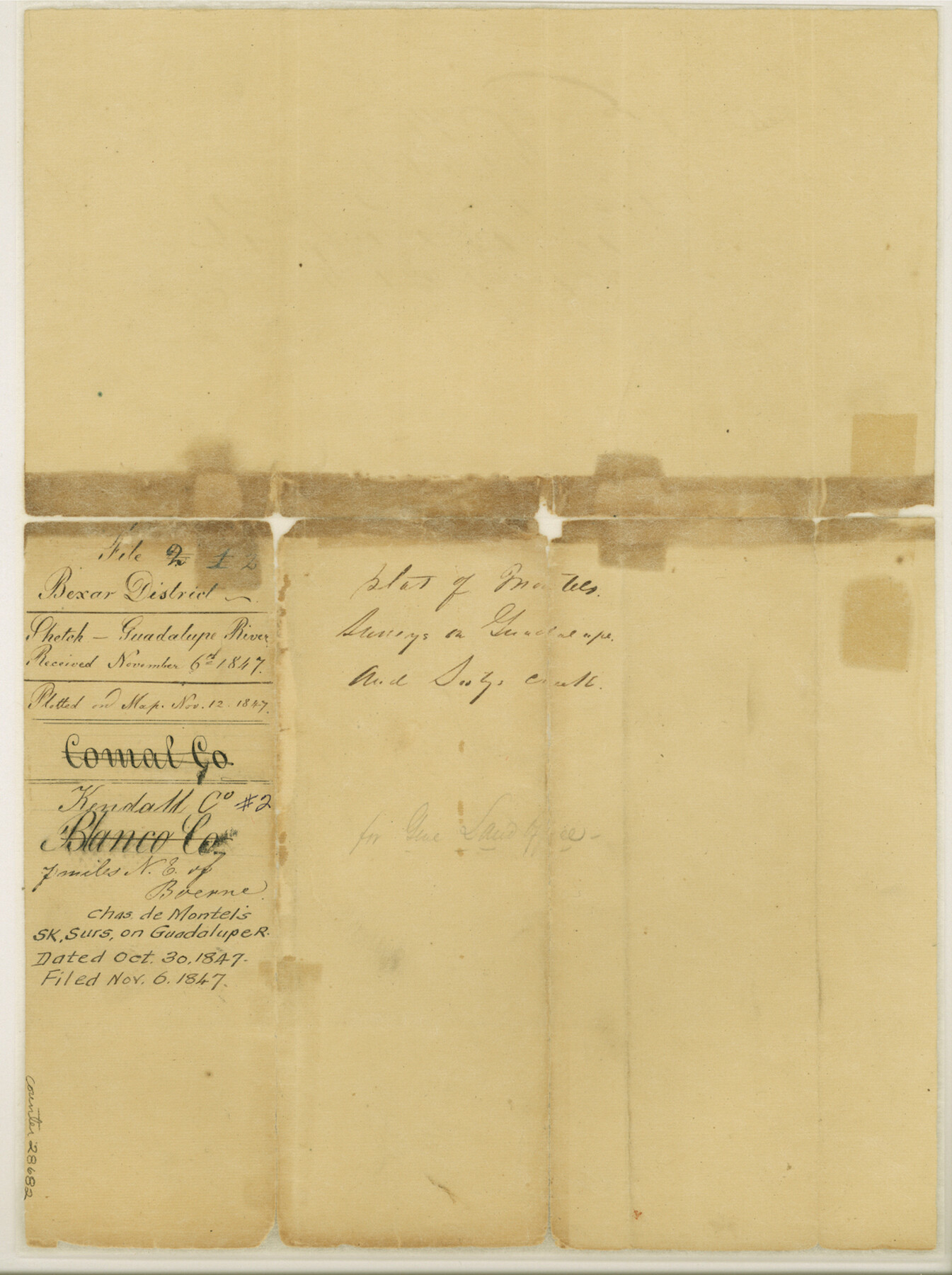
Kendall County Sketch File 2
[Sketch of surveys along Guadalupe River and Sister Creek north of Boerne]
-
Map/Doc
28682
-
Collection
General Map Collection
-
Object Dates
10/30/1847 (Creation Date)
11/6/1847 (File Date)
-
People and Organizations
Chas. de Montel (Surveyor/Engineer)
-
Counties
Kendall
-
Subjects
Surveying Sketch File
-
Height x Width
14.6 x 10.9 inches
37.1 x 27.7 cm
-
Medium
paper, manuscript
-
Features
Guadalupe River
Sesty's Creek
Sabinas Creek
Spring Creek
Part of: General Map Collection
Brewster County Rolled Sketch 114

Print $20.00
- Digital $50.00
Brewster County Rolled Sketch 114
1964
Size 17.3 x 11.4 inches
Map/Doc 5292
Wise County Working Sketch 28

Print $40.00
- Digital $50.00
Wise County Working Sketch 28
1996
Size 37.5 x 48.8 inches
Map/Doc 72642
Baylor County Sketch File A8

Print $4.00
- Digital $50.00
Baylor County Sketch File A8
1899
Size 14.1 x 8.7 inches
Map/Doc 14094
Edwards County

Print $40.00
- Digital $50.00
Edwards County
1900
Size 56.7 x 36.3 inches
Map/Doc 87470
Austin County Sketch File 11

Print $8.00
- Digital $50.00
Austin County Sketch File 11
1895
Size 11.1 x 8.6 inches
Map/Doc 13877
Presidio County Rolled Sketch T-4

Print $20.00
- Digital $50.00
Presidio County Rolled Sketch T-4
Size 46.6 x 21.7 inches
Map/Doc 10085
Johnson County Working Sketch 23

Print $20.00
- Digital $50.00
Johnson County Working Sketch 23
1997
Size 25.3 x 22.8 inches
Map/Doc 66636
Polk County Rolled Sketch 20

Print $20.00
- Digital $50.00
Polk County Rolled Sketch 20
Size 30.8 x 22.9 inches
Map/Doc 7312
Young County Sketch File 14

Print $20.00
- Digital $50.00
Young County Sketch File 14
1895
Size 10.9 x 27.3 inches
Map/Doc 12712
Roberts County Sketch File 8

Print $6.00
- Digital $50.00
Roberts County Sketch File 8
1992
Size 14.3 x 8.8 inches
Map/Doc 35324
Current Miscellaneous File 101

Print $46.00
- Digital $50.00
Current Miscellaneous File 101
1931
Size 8.8 x 14.2 inches
Map/Doc 74357
Val Verde County Working Sketch 30

Print $20.00
- Digital $50.00
Val Verde County Working Sketch 30
1938
Size 37.9 x 28.5 inches
Map/Doc 72165
You may also like
Flight Mission No. CUG-3P, Frame 44, Kleberg County

Print $20.00
- Digital $50.00
Flight Mission No. CUG-3P, Frame 44, Kleberg County
1956
Size 18.4 x 22.1 inches
Map/Doc 86249
Chambers County Aerial Photograph Index Sheet 3

Print $20.00
- Digital $50.00
Chambers County Aerial Photograph Index Sheet 3
1956
Size 20.5 x 15.7 inches
Map/Doc 83684
La Salle County Rolled Sketch 6

Print $40.00
- Digital $50.00
La Salle County Rolled Sketch 6
1941
Size 43.0 x 66.0 inches
Map/Doc 10738
Haskell County Rolled Sketch 16

Print $20.00
- Digital $50.00
Haskell County Rolled Sketch 16
1991
Size 45.3 x 39.4 inches
Map/Doc 9148
Harris County Rolled Sketch 28

Print $20.00
- Digital $50.00
Harris County Rolled Sketch 28
Size 29.8 x 47.3 inches
Map/Doc 6095

Flight Mission No. DAG-23K, Frame 178, Matagorda County

Print $20.00
- Digital $50.00
Flight Mission No. DAG-23K, Frame 178, Matagorda County
1953
Size 18.8 x 22.5 inches
Map/Doc 86513
Crockett County Working Sketch 27

Print $20.00
- Digital $50.00
Crockett County Working Sketch 27
1923
Size 29.4 x 27.2 inches
Map/Doc 68360
Pecos County Rolled Sketch 41

Print $20.00
- Digital $50.00
Pecos County Rolled Sketch 41
Size 22.7 x 31.3 inches
Map/Doc 7219
Flight Mission No. DIX-6P, Frame 112, Aransas County

Print $20.00
- Digital $50.00
Flight Mission No. DIX-6P, Frame 112, Aransas County
1956
Size 18.9 x 22.7 inches
Map/Doc 83818
General Highway Map, Menard County, Texas

Print $20.00
General Highway Map, Menard County, Texas
1961
Size 18.2 x 24.8 inches
Map/Doc 79595
