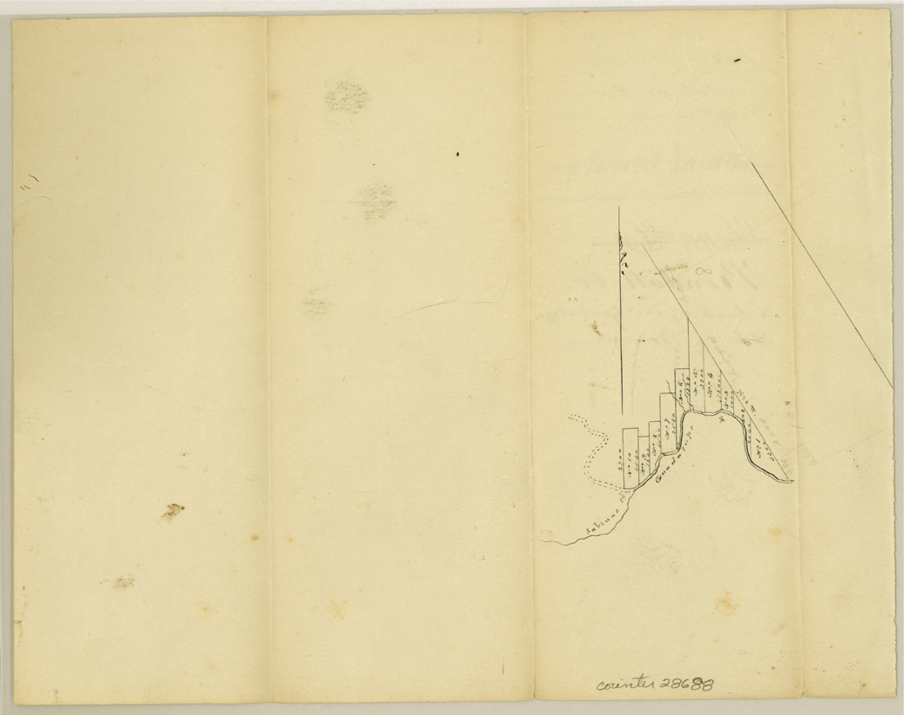
Kendall County Sketch File 7
[Sketch of surveys on north bank of Guadalupe River, northeast of Boerne]
-
Map/Doc
28688
-
Collection
General Map Collection
-
Object Dates
1848 (Creation Date)
-
Counties
Kendall
-
Subjects
Surveying Sketch File
-
Height x Width
8.2 x 10.4 inches
20.8 x 26.4 cm
-
Medium
paper, manuscript
-
Features
Sabinas Creek
Guadalupe River
Part of: General Map Collection
Flight Mission No. DQN-2K, Frame 72, Calhoun County

Print $20.00
- Digital $50.00
Flight Mission No. DQN-2K, Frame 72, Calhoun County
1953
Size 18.6 x 22.3 inches
Map/Doc 84264
Crockett County Working Sketch 36

Print $20.00
- Digital $50.00
Crockett County Working Sketch 36
1927
Size 22.4 x 26.0 inches
Map/Doc 68369
Travis County Boundary File 5

Print $62.00
- Digital $50.00
Travis County Boundary File 5
Size 9.1 x 4.4 inches
Map/Doc 59430

Sutton County Sketch File 43

Print $20.00
- Digital $50.00
Sutton County Sketch File 43
Size 29.1 x 12.4 inches
Map/Doc 12391
Brazoria County Sketch File 35

Print $40.00
- Digital $50.00
Brazoria County Sketch File 35
Size 15.5 x 18.4 inches
Map/Doc 10958

Aransas County Sketch File 35

Print $61.00
- Digital $50.00
Aransas County Sketch File 35
1984
Size 11.0 x 8.8 inches
Map/Doc 13347
Concho County Sketch File 49

Print $20.00
- Digital $50.00
Concho County Sketch File 49
1889
Size 30.7 x 19.3 inches
Map/Doc 11166
Kimble County Rolled Sketch 39

Print $20.00
- Digital $50.00
Kimble County Rolled Sketch 39
1986
Size 27.0 x 27.5 inches
Map/Doc 6529
Colorado County Sketch File 18

Print $40.00
- Digital $50.00
Colorado County Sketch File 18
1897
Size 12.5 x 15.8 inches
Map/Doc 18950
Polk County Working Sketch 43

Print $20.00
- Digital $50.00
Polk County Working Sketch 43
1997
Size 23.2 x 30.5 inches
Map/Doc 71660
You may also like
[Eastern Texas RR. Co. Block 1]
![91896, [Eastern Texas RR. Co. Block 1], Twichell Survey Records](https://historictexasmaps.com/wmedia_w700/maps/91896-1.tif.jpg)
Print $20.00
- Digital $50.00
[Eastern Texas RR. Co. Block 1]
Size 17.9 x 15.3 inches
Map/Doc 91896
Flight Mission No. BRA-16M, Frame 98, Jefferson County

Print $20.00
- Digital $50.00
Flight Mission No. BRA-16M, Frame 98, Jefferson County
1953
Size 18.7 x 22.4 inches
Map/Doc 85710
Montague County Working Sketch 26

Print $20.00
- Digital $50.00
Montague County Working Sketch 26
1956
Size 23.5 x 23.2 inches
Map/Doc 71092
Maverick County Sketch File 2

Print $40.00
- Digital $50.00
Maverick County Sketch File 2
1875
Size 18.2 x 14.0 inches
Map/Doc 31031
Kerr County Boundary File 4c

Print $4.00
- Digital $50.00
Kerr County Boundary File 4c
Size 3.7 x 12.3 inches
Map/Doc 64816
Hardin County Sketch File 65

Print $15.00
- Digital $50.00
Hardin County Sketch File 65
Size 14.4 x 9.0 inches
Map/Doc 25245

Current Miscellaneous File 7

Print $6.00
- Digital $50.00
Current Miscellaneous File 7
1838
Size 13.8 x 8.5 inches
Map/Doc 73733
Young County Rolled Sketch 10

Print $20.00
- Digital $50.00
Young County Rolled Sketch 10
1921
Size 27.3 x 40.1 inches
Map/Doc 8298
Flight Mission No. DQO-7K, Frame 101, Galveston County

Print $20.00
- Digital $50.00
Flight Mission No. DQO-7K, Frame 101, Galveston County
1952
Size 18.7 x 22.6 inches
Map/Doc 85116
Reagan County Working Sketch 22

Print $20.00
- Digital $50.00
Reagan County Working Sketch 22
1955
Size 24.2 x 24.4 inches
Map/Doc 71864
Kendall County Working Sketch 13

Print $20.00
- Digital $50.00
Kendall County Working Sketch 13
1959
Size 25.5 x 30.5 inches
Map/Doc 66685