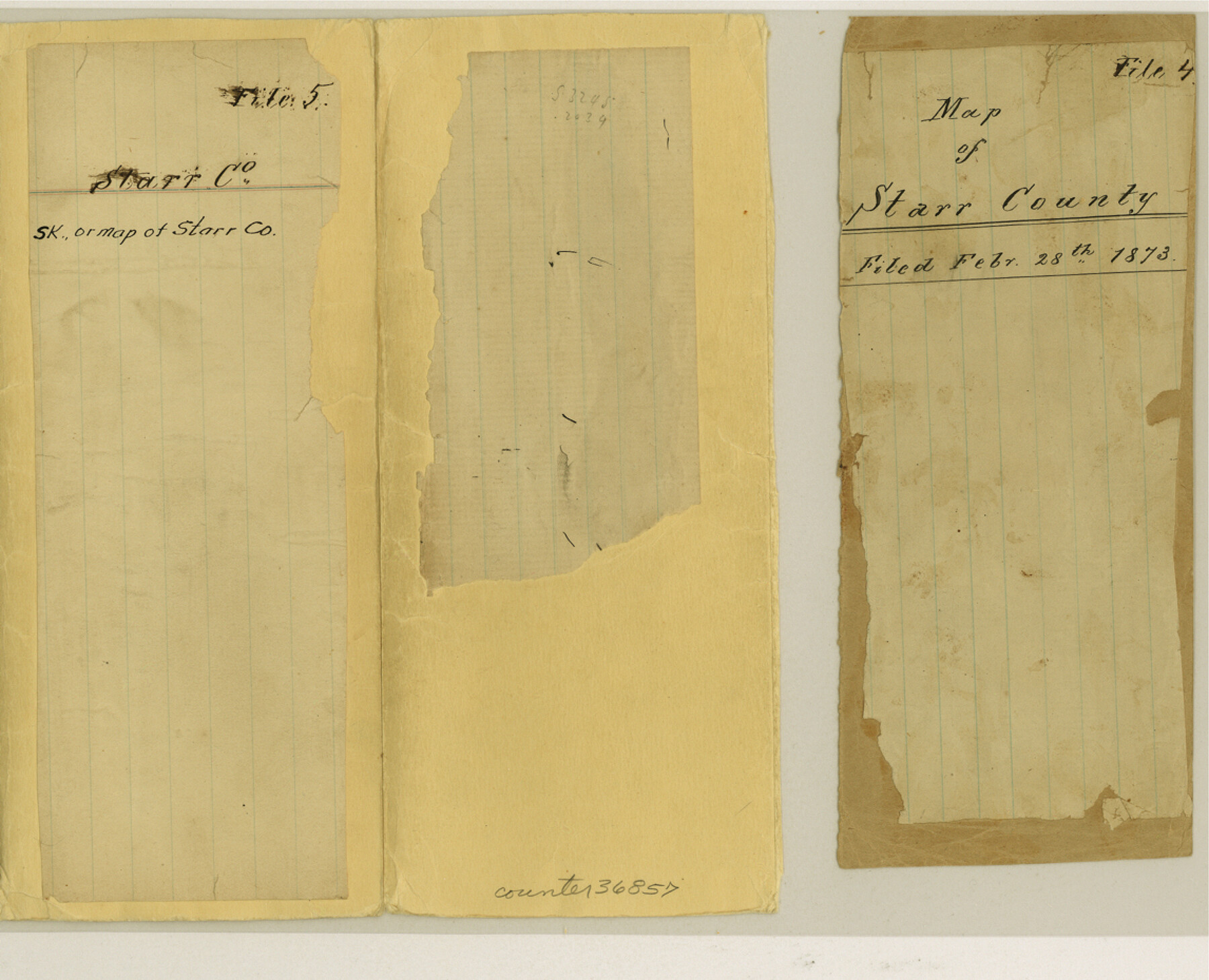
Starr County Sketch File 4
[Jacket only]
-
Map/Doc
36857
-
Collection
General Map Collection
-
Counties
Starr
-
Subjects
Surveying Sketch File
-
Height x Width
9.3 x 11.5 inches
23.6 x 29.2 cm
-
Medium
paper, manuscript
Part of: General Map Collection
Flight Mission No. CRC-1R, Frame 36, Chambers County

Print $20.00
- Digital $50.00
Flight Mission No. CRC-1R, Frame 36, Chambers County
1956
Size 18.7 x 22.3 inches
Map/Doc 84704
Jefferson County Rolled Sketch 19

Print $90.00
- Digital $50.00
Jefferson County Rolled Sketch 19
1931
Size 19.1 x 72.7 inches
Map/Doc 9283
Val Verde County Sketch File 52

Print $20.00
- Digital $50.00
Val Verde County Sketch File 52
1885
Size 20.4 x 21.9 inches
Map/Doc 12591
Kleberg County Rolled Sketch 10-5

Print $20.00
- Digital $50.00
Kleberg County Rolled Sketch 10-5
1951
Size 37.6 x 35.6 inches
Map/Doc 9394
Edwards County Sketch File 12

Print $16.00
- Digital $50.00
Edwards County Sketch File 12
Size 14.6 x 9.1 inches
Map/Doc 21690
Rusk County Sketch File Y

Print $6.00
Rusk County Sketch File Y
1845
Size 16.7 x 11.0 inches
Map/Doc 35537
Hartley County

Print $40.00
- Digital $50.00
Hartley County
1902
Size 39.5 x 49.0 inches
Map/Doc 4973
Current Miscellaneous File 73

Print $8.00
- Digital $50.00
Current Miscellaneous File 73
1959
Size 11.4 x 8.7 inches
Map/Doc 74177
Flight Mission No. DQN-7K, Frame 4, Calhoun County

Print $20.00
- Digital $50.00
Flight Mission No. DQN-7K, Frame 4, Calhoun County
1953
Size 18.9 x 22.1 inches
Map/Doc 84455
Flight Mission No. DQN-5K, Frame 51, Calhoun County

Print $20.00
- Digital $50.00
Flight Mission No. DQN-5K, Frame 51, Calhoun County
1953
Size 18.6 x 22.2 inches
Map/Doc 84396

Flight Mission No. DCL-4C, Frame 121, Kenedy County

Print $20.00
- Digital $50.00
Flight Mission No. DCL-4C, Frame 121, Kenedy County
1943
Size 18.6 x 22.3 inches
Map/Doc 85820
You may also like
Jackson County Sketch File 5

Print $4.00
- Digital $50.00
Jackson County Sketch File 5
1876
Size 12.7 x 8.2 inches
Map/Doc 27628
Brazos Santiago, Texas

Print $20.00
- Digital $50.00
Brazos Santiago, Texas
1900
Size 18.3 x 26.7 inches
Map/Doc 73032
Real County Rolled Sketch 10

Print $20.00
- Digital $50.00
Real County Rolled Sketch 10
Size 43.7 x 34.3 inches
Map/Doc 9835
Kerr County Working Sketch 3

Print $20.00
- Digital $50.00
Kerr County Working Sketch 3
1944
Size 15.7 x 21.0 inches
Map/Doc 70034
Brazos County Sketch File 3

Print $6.00
- Digital $50.00
Brazos County Sketch File 3
1861
Size 11.1 x 8.0 inches
Map/Doc 15554
Blanco County Sketch File 1

Print $4.00
- Digital $50.00
Blanco County Sketch File 1
1874
Size 7.8 x 7.9 inches
Map/Doc 14578
Gulf Coast of the United States, Key West to Rio Grande

Print $20.00
- Digital $50.00
Gulf Coast of the United States, Key West to Rio Grande
1863
Size 27.4 x 18.3 inches
Map/Doc 72666
Terry County Sketch File 14

Print $20.00
- Digital $50.00
Terry County Sketch File 14
Size 11.1 x 42.4 inches
Map/Doc 10398
McMullen County Sketch File 20

Print $4.00
- Digital $50.00
McMullen County Sketch File 20
Size 8.1 x 10.0 inches
Map/Doc 31373
Crosby County Lands with Topographical Features

Print $2.00
- Digital $50.00
Crosby County Lands with Topographical Features
Size 8.7 x 11.2 inches
Map/Doc 90369

Frio County Rolled Sketch 5

Print $20.00
- Digital $50.00
Frio County Rolled Sketch 5
Size 25.7 x 23.0 inches
Map/Doc 5917