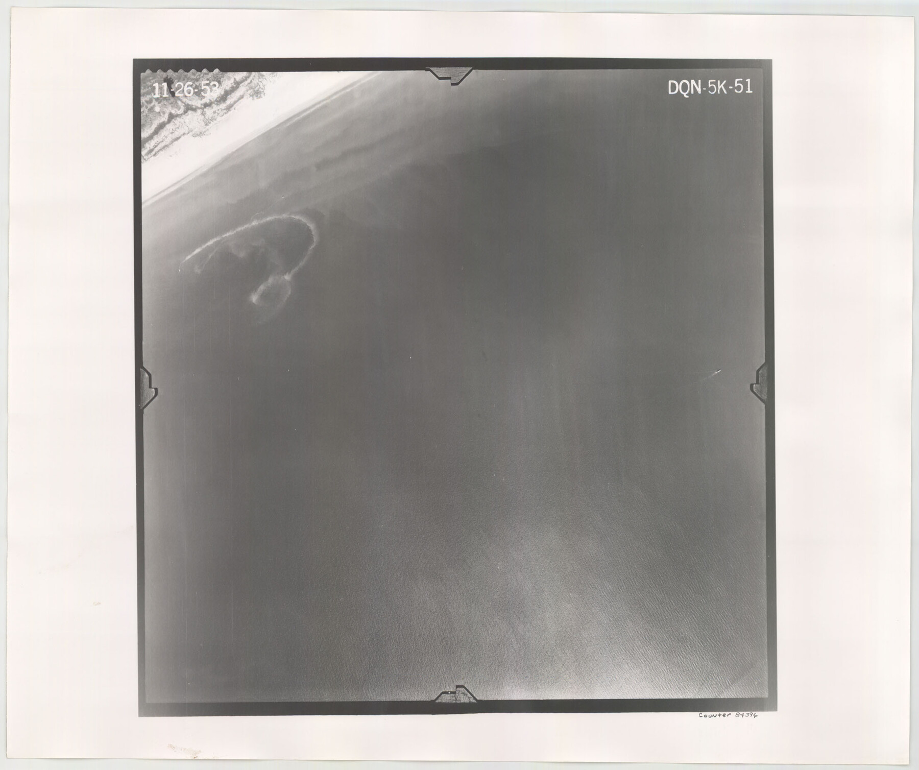
Flight Mission No. DQN-5K, Frame 51, Calhoun County
DQN-5K-51
-
Map/Doc
84396
-
Collection
General Map Collection
-
Object Dates
1953/11/26 (Creation Date)
-
People and Organizations
U. S. Department of Agriculture (Publisher)
-
Counties
Calhoun
-
Subjects
Aerial Photograph
-
Height x Width
18.6 x 22.2 inches
47.2 x 56.4 cm
-
Comments
Flown by Aero Exploration Company of Tulsa, Oklahoma.
Part of: General Map Collection
Map of The Surveyed Part of Peters Colony Texas

Print $40.00
- Digital $50.00
Map of The Surveyed Part of Peters Colony Texas
1858
Size 45.6 x 58.5 inches
Map/Doc 1982
Brazoria County NRC Article 33.136 Sketch 30

Print $24.00
Brazoria County NRC Article 33.136 Sketch 30
2025
Map/Doc 97475
J No. 5 - Reconnaissance of San Pedro Harbor, California

Print $20.00
- Digital $50.00
J No. 5 - Reconnaissance of San Pedro Harbor, California
1852
Size 12.3 x 15.5 inches
Map/Doc 97232
Mills County Working Sketch 10

Print $20.00
- Digital $50.00
Mills County Working Sketch 10
1928
Size 29.0 x 22.0 inches
Map/Doc 71040
Presidio County Rolled Sketch 71

Print $20.00
- Digital $50.00
Presidio County Rolled Sketch 71
1941
Size 31.7 x 42.9 inches
Map/Doc 7361
Martin County Rolled Sketch 9

Print $20.00
- Digital $50.00
Martin County Rolled Sketch 9
1990
Size 17.3 x 11.4 inches
Map/Doc 6669
Bowie County Sketch File 7a

Print $30.00
- Digital $50.00
Bowie County Sketch File 7a
1927
Size 11.2 x 8.7 inches
Map/Doc 14854
Caldwell County Sketch File 1

Print $22.00
- Digital $50.00
Caldwell County Sketch File 1
Size 8.6 x 12.4 inches
Map/Doc 35825
[From the lower corner of the Juan Zambrano survey to the Medina River]
![97, [From the lower corner of the Juan Zambrano survey to the Medina River], General Map Collection](https://historictexasmaps.com/wmedia_w700/maps/97.tif.jpg)
Print $20.00
- Digital $50.00
[From the lower corner of the Juan Zambrano survey to the Medina River]
1844
Size 19.0 x 8.0 inches
Map/Doc 97
Calhoun County Working Sketch 7

Print $20.00
- Digital $50.00
Calhoun County Working Sketch 7
1943
Size 20.1 x 22.0 inches
Map/Doc 67823
Nueces County NRC Article 33.136 Sketch 7

Print $82.00
- Digital $50.00
Nueces County NRC Article 33.136 Sketch 7
2004
Size 32.7 x 47.0 inches
Map/Doc 81932
Howard County Sketch File 6

Print $44.00
- Digital $50.00
Howard County Sketch File 6
1929
Size 18.6 x 14.4 inches
Map/Doc 26861
You may also like
Starr County Sketch File 20

Print $12.00
- Digital $50.00
Starr County Sketch File 20
1915
Size 11.2 x 8.6 inches
Map/Doc 36877
Jefferson County Rolled Sketch 28

Print $20.00
- Digital $50.00
Jefferson County Rolled Sketch 28
1948
Size 22.4 x 32.9 inches
Map/Doc 6391
Hood County Sketch File 18

Print $4.00
- Digital $50.00
Hood County Sketch File 18
Size 8.4 x 9.6 inches
Map/Doc 26601
Map of Blocks No. 46 and 47 made in the name of Houston and Texas Central RR. Co. in Oldham District

Print $20.00
- Digital $50.00
Map of Blocks No. 46 and 47 made in the name of Houston and Texas Central RR. Co. in Oldham District
1884
Size 40.8 x 27.0 inches
Map/Doc 91818
Brazoria County Sketch File 2

Print $6.00
- Digital $50.00
Brazoria County Sketch File 2
Size 8.0 x 3.3 inches
Map/Doc 14920
Working Sketch in Dickens and Kent Counties

Print $20.00
- Digital $50.00
Working Sketch in Dickens and Kent Counties
1904
Size 24.2 x 30.5 inches
Map/Doc 91035
Montgomery County Sketch File 7

Print $35.00
- Digital $50.00
Montgomery County Sketch File 7
1861
Size 8.8 x 7.8 inches
Map/Doc 31785
Connected Map of the County of Victoria

Print $40.00
- Digital $50.00
Connected Map of the County of Victoria
1838
Size 79.7 x 49.0 inches
Map/Doc 1946
Pecos County Sketch File 105

Print $4.00
- Digital $50.00
Pecos County Sketch File 105
1965
Size 14.3 x 8.8 inches
Map/Doc 34028
Knox County Working Sketch 4

Print $20.00
- Digital $50.00
Knox County Working Sketch 4
1919
Size 18.0 x 25.6 inches
Map/Doc 70246

Lubbock Cemetery out of South Part of Survey 3, Block B, T.T. Ry. Co. Amendment of Plat Recorded

Print $20.00
- Digital $50.00
Lubbock Cemetery out of South Part of Survey 3, Block B, T.T. Ry. Co. Amendment of Plat Recorded
Size 22.6 x 24.5 inches
Map/Doc 92794