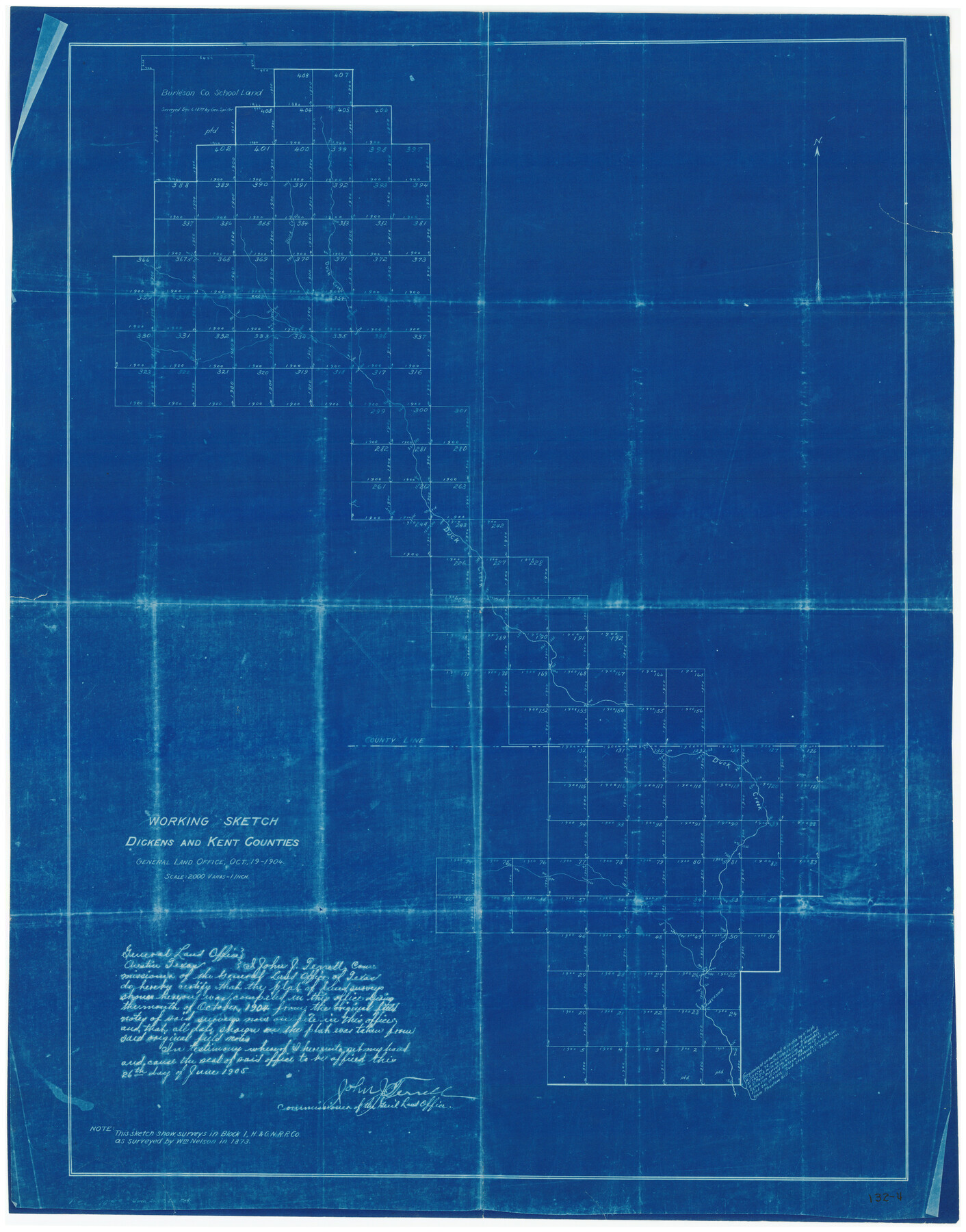
Working Sketch in Dickens and Kent Counties
132-4
-
Map/Doc
91035
-
Collection
Twichell Survey Records
-
Object Dates
10/19/1904 (Creation Date)
-
Counties
Kent Dickens
-
Height x Width
24.2 x 30.5 inches
61.5 x 77.5 cm
Part of: Twichell Survey Records
Thomas Ross Survey

Print $20.00
- Digital $50.00
Thomas Ross Survey
1954
Size 16.8 x 17.6 inches
Map/Doc 92181
![91467, [Block B7], Twichell Survey Records](https://historictexasmaps.com/wmedia_w700/maps/91467-1.tif.jpg)
Sketch showing recent surveys of State School Land adjoining Capitol Leagues No. 357 1/2, 367, 373 and 374 corrected out of conflict

Print $2.00
- Digital $50.00
Sketch showing recent surveys of State School Land adjoining Capitol Leagues No. 357 1/2, 367, 373 and 374 corrected out of conflict
1905
Size 7.3 x 10.4 inches
Map/Doc 90535
[Connection to Block M-13]
![93040, [Connection to Block M-13], Twichell Survey Records](https://historictexasmaps.com/wmedia_w700/maps/93040-1.tif.jpg)
Print $40.00
- Digital $50.00
[Connection to Block M-13]
Size 27.1 x 60.0 inches
Map/Doc 93040
[Sutton, Hale & Ector Co. School Land]
![90102, [Sutton, Hale & Ector Co. School Land], Twichell Survey Records](https://historictexasmaps.com/wmedia_w700/maps/90102-1.tif.jpg)
Print $3.00
- Digital $50.00
[Sutton, Hale & Ector Co. School Land]
Size 9.7 x 16.8 inches
Map/Doc 90102
Jno. W. Pritchett Preliminary Official LO Map for Lubbock [County]
![89901, Jno. W. Pritchett Preliminary Official LO Map for Lubbock [County], Twichell Survey Records](https://historictexasmaps.com/wmedia_w700/maps/89901-1.tif.jpg)
Print $20.00
- Digital $50.00
Jno. W. Pritchett Preliminary Official LO Map for Lubbock [County]
Size 41.1 x 40.3 inches
Map/Doc 89901
Map Showing Lands Surveyed by Sylvan Sanders, Block D

Print $20.00
- Digital $50.00
Map Showing Lands Surveyed by Sylvan Sanders, Block D
Size 28.2 x 23.5 inches
Map/Doc 92440
Subdivision of Mallet Land and Cattle Company's Ranch Hockley, Cochran, Terry, and Yoakum Counties, Texas

Print $20.00
- Digital $50.00
Subdivision of Mallet Land and Cattle Company's Ranch Hockley, Cochran, Terry, and Yoakum Counties, Texas
Size 17.3 x 16.4 inches
Map/Doc 92207
Official Map of City of Lubbock

Print $20.00
- Digital $50.00
Official Map of City of Lubbock
1927
Size 29.3 x 22.7 inches
Map/Doc 92717
Property Line Map, Housing Authority of the City of Lubbock, Texas

Print $20.00
- Digital $50.00
Property Line Map, Housing Authority of the City of Lubbock, Texas
1946
Size 19.4 x 25.4 inches
Map/Doc 92777
The Espuela Land and Cattle Co. L'd. West Pastures of the Spur Ranch

Print $20.00
- Digital $50.00
The Espuela Land and Cattle Co. L'd. West Pastures of the Spur Ranch
1904
Size 41.2 x 44.3 inches
Map/Doc 89947
[Blks. B9, J, D19, John Walker]
![90482, [Blks. B9, J, D19, John Walker], Twichell Survey Records](https://historictexasmaps.com/wmedia_w700/maps/90482-1.tif.jpg)
Print $20.00
- Digital $50.00
[Blks. B9, J, D19, John Walker]
Size 27.8 x 15.9 inches
Map/Doc 90482
You may also like
Kendall County Working Sketch 16

Print $20.00
- Digital $50.00
Kendall County Working Sketch 16
1967
Size 28.0 x 29.1 inches
Map/Doc 66688
Crosby County Sketch File 5

Print $10.00
- Digital $50.00
Crosby County Sketch File 5
1887
Size 9.2 x 7.8 inches
Map/Doc 20002
Flight Mission No. BRA-7M, Frame 7, Jefferson County

Print $20.00
- Digital $50.00
Flight Mission No. BRA-7M, Frame 7, Jefferson County
1953
Size 18.7 x 22.5 inches
Map/Doc 85458
Reeves County Working Sketch 24

Print $40.00
- Digital $50.00
Reeves County Working Sketch 24
1966
Size 38.7 x 76.5 inches
Map/Doc 63467
Hardin County Sketch File 63

Print $10.00
- Digital $50.00
Hardin County Sketch File 63
Size 11.3 x 8.8 inches
Map/Doc 25238
Jefferson County Rolled Sketch 25

Print $20.00
- Digital $50.00
Jefferson County Rolled Sketch 25
1939
Size 43.4 x 36.0 inches
Map/Doc 9290
Map of Eastland Co.

Print $20.00
- Digital $50.00
Map of Eastland Co.
1896
Size 43.1 x 44.2 inches
Map/Doc 4937
Harris County State Real Property Sketch 1

Print $40.00
- Digital $50.00
Harris County State Real Property Sketch 1
1985
Size 42.7 x 41.6 inches
Map/Doc 61690
Cooke County Boundary File 20

Print $88.00
- Digital $50.00
Cooke County Boundary File 20
Size 3.2 x 8.6 inches
Map/Doc 51873
Crockett County Rolled Sketch 48

Print $20.00
- Digital $50.00
Crockett County Rolled Sketch 48
1939
Size 30.0 x 40.3 inches
Map/Doc 8712
Marble Falls City, Burnet County, Texas

Print $20.00
- Digital $50.00
Marble Falls City, Burnet County, Texas
1890
Size 26.6 x 20.5 inches
Map/Doc 4830
