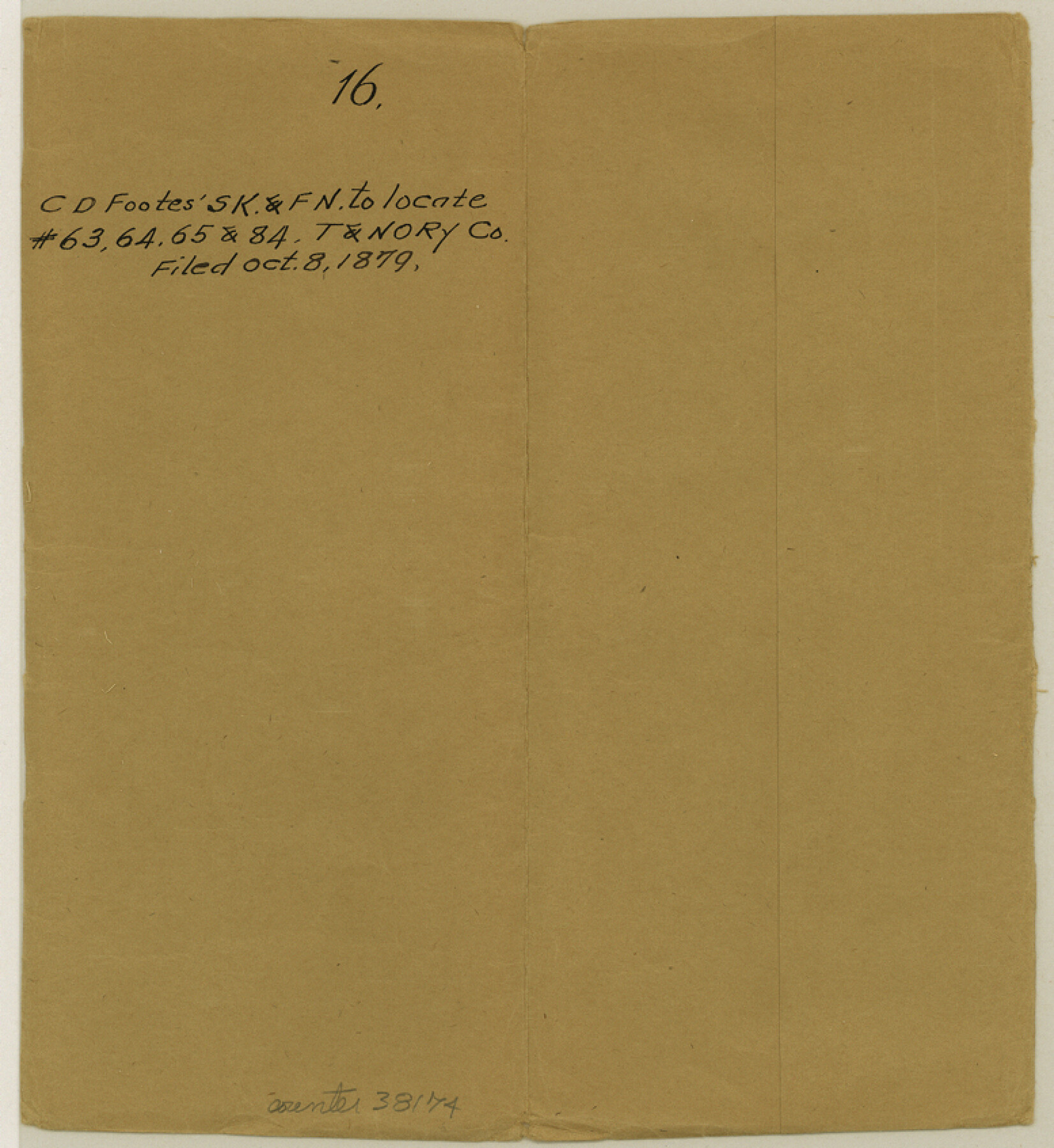
Tom Green County Sketch File 16
[Sketch and field notes to locate surveys 63, 64, 65, and 84, T. & N. O. R.R. Co.]
-
Map/Doc
38174
-
Collection
General Map Collection
-
Object Dates
10/8/1879 (File Date)
-
Counties
Tom Green Runnels
-
Subjects
Surveying Sketch File
-
Height x Width
8.5 x 7.8 inches
21.6 x 19.8 cm
-
Medium
paper, manuscript
-
Scale
1" = 2000 varas
-
Features
Concho River
Part of: General Map Collection
Supplemental Plat, T. 4S., R. 14W., Indian Meridian, Oklahoma

Print $4.00
- Digital $50.00
Supplemental Plat, T. 4S., R. 14W., Indian Meridian, Oklahoma
1926
Size 18.1 x 23.6 inches
Map/Doc 75149
Eastland County Working Sketch 10

Print $20.00
- Digital $50.00
Eastland County Working Sketch 10
1919
Size 20.2 x 16.3 inches
Map/Doc 68791
Reagan County Working Sketch 38

Print $40.00
- Digital $50.00
Reagan County Working Sketch 38
1969
Size 60.8 x 30.5 inches
Map/Doc 71880
Sabine River, Free Bridge Sheet

Print $40.00
- Digital $50.00
Sabine River, Free Bridge Sheet
1936
Size 27.2 x 50.6 inches
Map/Doc 65143

Starr County Working Sketch 14

Print $20.00
- Digital $50.00
Starr County Working Sketch 14
1952
Size 23.4 x 20.9 inches
Map/Doc 63930
Hardeman County Working Sketch 3

Print $20.00
- Digital $50.00
Hardeman County Working Sketch 3
1919
Size 32.7 x 35.1 inches
Map/Doc 63384
Map of the country adjacent to the left bank of the Rio Grande below Matamoros surveyed under instructions of Col. J.J. Abert, Corps. Top. Engrs.

Print $20.00
- Digital $50.00
Map of the country adjacent to the left bank of the Rio Grande below Matamoros surveyed under instructions of Col. J.J. Abert, Corps. Top. Engrs.
Size 27.0 x 20.9 inches
Map/Doc 95177
Brewster County Working Sketch 113

Print $20.00
- Digital $50.00
Brewster County Working Sketch 113
1982
Size 29.4 x 38.2 inches
Map/Doc 67713
Galveston County NRC Article 33.136 Sketch 74

Print $26.00
- Digital $50.00
Galveston County NRC Article 33.136 Sketch 74
2013
Size 24.0 x 36.0 inches
Map/Doc 95114
Tom Green County Sketch File 46

Print $82.00
- Digital $50.00
Tom Green County Sketch File 46
1883
Size 28.4 x 28.6 inches
Map/Doc 10402
Kimble County Sketch File A1

Print $4.00
- Digital $50.00
Kimble County Sketch File A1
Size 8.8 x 13.4 inches
Map/Doc 28961
You may also like
Map of Panola County

Print $20.00
- Digital $50.00
Map of Panola County
1897
Size 39.5 x 39.1 inches
Map/Doc 66967
Edwards County Working Sketch 50

Print $20.00
- Digital $50.00
Edwards County Working Sketch 50
1950
Size 35.8 x 28.9 inches
Map/Doc 68926
Travis County Appraisal District Plat Map 1_0204

Print $20.00
- Digital $50.00
Travis County Appraisal District Plat Map 1_0204
Size 21.7 x 26.6 inches
Map/Doc 94207
Hidalgo County

Print $20.00
- Digital $50.00
Hidalgo County
1911
Size 42.1 x 28.7 inches
Map/Doc 16850
Rusk County Rolled Sketch OBS

Print $20.00
- Digital $50.00
Rusk County Rolled Sketch OBS
1937
Size 26.3 x 21.8 inches
Map/Doc 7550
Foard County Sketch File 23

Print $32.00
- Digital $50.00
Foard County Sketch File 23
Size 11.3 x 9.0 inches
Map/Doc 22846
Rusk County Sketch File 46

Print $4.00
Rusk County Sketch File 46
1846
Size 12.6 x 7.8 inches
Map/Doc 35595
![92953, [Terry County], Twichell Survey Records](https://historictexasmaps.com/wmedia_w700/maps/92953-1.tif.jpg)
Nacogdoches County Sketch File 1

Print $4.00
- Digital $50.00
Nacogdoches County Sketch File 1
Size 10.2 x 7.8 inches
Map/Doc 32233
Flight Mission No. DQO-6K, Frame 23, Galveston County

Print $20.00
- Digital $50.00
Flight Mission No. DQO-6K, Frame 23, Galveston County
1952
Size 18.8 x 22.5 inches
Map/Doc 85096
[Block 3 and part of Block 2]
![90760, [Block 3 and part of Block 2], Twichell Survey Records](https://historictexasmaps.com/wmedia_w700/maps/90760-1.tif.jpg)
Print $2.00
- Digital $50.00
[Block 3 and part of Block 2]
1882
Size 13.1 x 9.1 inches
Map/Doc 90760
General Highway Map, Kaufman County, Texas

Print $20.00
General Highway Map, Kaufman County, Texas
1961
Size 24.9 x 18.1 inches
Map/Doc 79548