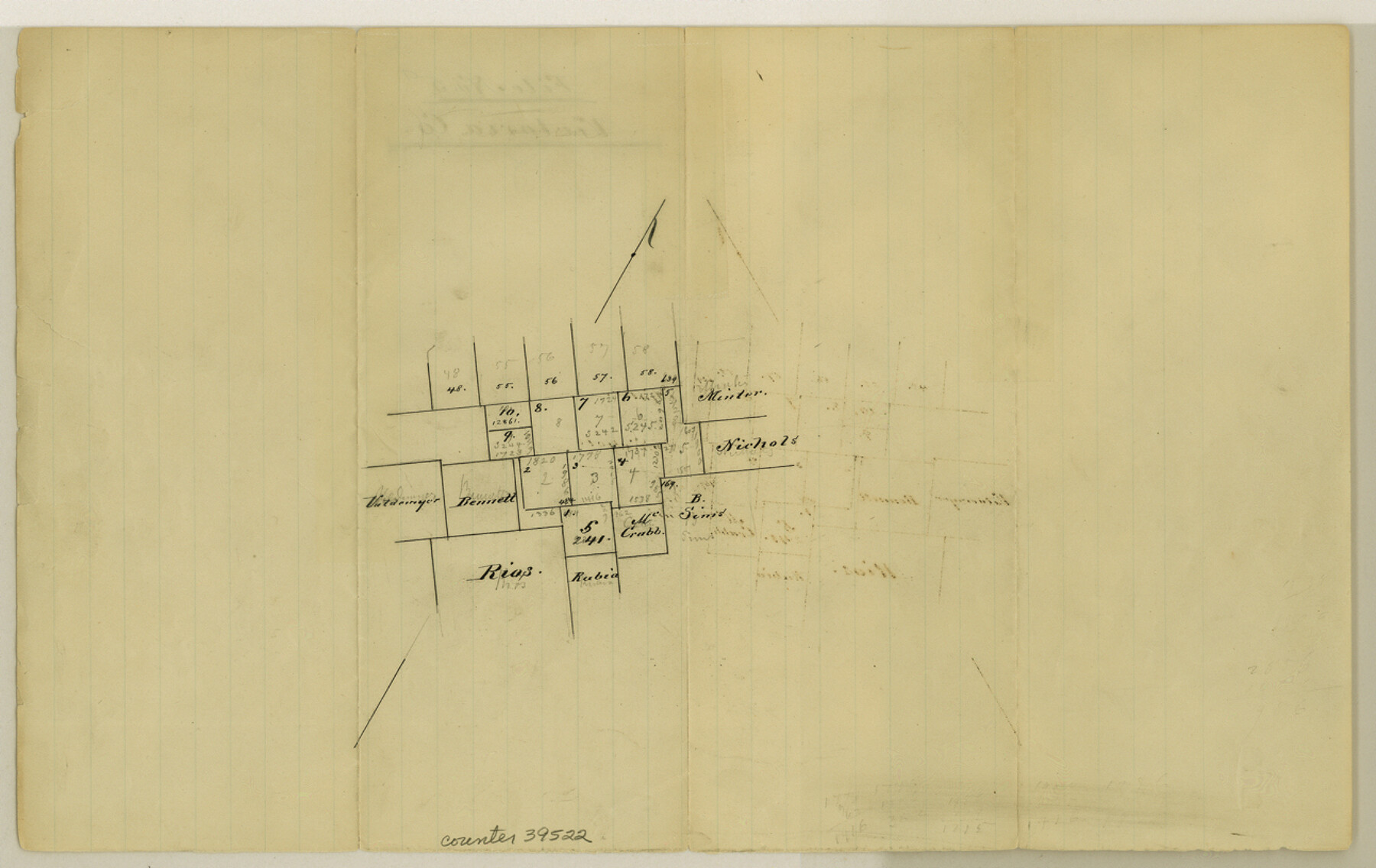
Victoria County Sketch File 5a
[Skeleton sketch of surveys around the Bennett survey in the northeast part of the county]
-
Map/Doc
39522
-
Collection
General Map Collection
-
Counties
Victoria
-
Subjects
Surveying Sketch File
-
Height x Width
8.2 x 12.9 inches
20.8 x 32.8 cm
-
Medium
paper, manuscript
Part of: General Map Collection
Hudspeth County Sketch File 42

Print $12.00
- Digital $50.00
Hudspeth County Sketch File 42
1982
Size 14.2 x 8.7 inches
Map/Doc 27016
Burnet County Sketch File 32

Print $4.00
- Digital $50.00
Burnet County Sketch File 32
1894
Size 8.0 x 9.5 inches
Map/Doc 16750
Refugio County Sketch File 19

Print $20.00
- Digital $50.00
Refugio County Sketch File 19
1916
Size 35.0 x 16.1 inches
Map/Doc 12247
Controlled Mosaic by Jack Amman Photogrammetric Engineers, Inc - Sheet 13

Print $20.00
- Digital $50.00
Controlled Mosaic by Jack Amman Photogrammetric Engineers, Inc - Sheet 13
1954
Size 20.0 x 24.0 inches
Map/Doc 83457
Flight Mission No. CGI-3N, Frame 102, Cameron County

Print $20.00
- Digital $50.00
Flight Mission No. CGI-3N, Frame 102, Cameron County
1954
Size 18.6 x 22.2 inches
Map/Doc 84582
Flight Mission No. DQN-2K, Frame 145, Calhoun County

Print $20.00
- Digital $50.00
Flight Mission No. DQN-2K, Frame 145, Calhoun County
1953
Size 18.9 x 22.7 inches
Map/Doc 84314
Oldham County Rolled Sketch 9

Print $20.00
- Digital $50.00
Oldham County Rolled Sketch 9
1931
Size 13.4 x 45.2 inches
Map/Doc 7175
Hansford County Sketch File 6

Print $8.00
- Digital $50.00
Hansford County Sketch File 6
1926
Size 13.6 x 9.0 inches
Map/Doc 24954
Gregg County Rolled Sketch 18

Print $40.00
- Digital $50.00
Gregg County Rolled Sketch 18
1934
Size 71.1 x 46.3 inches
Map/Doc 9068

Flight Mission No. DCL-7C, Frame 39, Kenedy County

Print $20.00
- Digital $50.00
Flight Mission No. DCL-7C, Frame 39, Kenedy County
1943
Size 15.3 x 15.3 inches
Map/Doc 86027
Edwards County Working Sketch 113

Print $20.00
- Digital $50.00
Edwards County Working Sketch 113
1972
Size 39.1 x 36.0 inches
Map/Doc 68989
You may also like
Hutson Addition to Umbarger, sec. 76, Blk. B-5, Randall Co., Texas

Print $20.00
- Digital $50.00
Hutson Addition to Umbarger, sec. 76, Blk. B-5, Randall Co., Texas
Size 30.5 x 29.5 inches
Map/Doc 92155
Pecos County Rolled Sketch 172

Print $453.00
- Digital $50.00
Pecos County Rolled Sketch 172
Size 10.4 x 15.0 inches
Map/Doc 48632
Blanco County Sketch File 21b

Print $40.00
- Digital $50.00
Blanco County Sketch File 21b
1882
Size 16.9 x 17.8 inches
Map/Doc 10930
Hunt County Sketch File 33

Print $4.00
- Digital $50.00
Hunt County Sketch File 33
1864
Size 7.1 x 5.0 inches
Map/Doc 27141
Kendall County Working Sketch 23

Print $20.00
- Digital $50.00
Kendall County Working Sketch 23
1974
Size 21.7 x 24.5 inches
Map/Doc 66695
[Sketch showing the Rio Grande with towns and features annotated]
![72896, [Sketch showing the Rio Grande with towns and features annotated], General Map Collection](https://historictexasmaps.com/wmedia_w700/maps/72896.tif.jpg)
Print $20.00
- Digital $50.00
[Sketch showing the Rio Grande with towns and features annotated]
1854
Size 24.1 x 18.2 inches
Map/Doc 72896
Gonzales County Working Sketch 1

Print $40.00
- Digital $50.00
Gonzales County Working Sketch 1
1913
Size 16.8 x 49.8 inches
Map/Doc 63216
Waller County, Texas

Print $20.00
- Digital $50.00
Waller County, Texas
1879
Size 22.8 x 17.7 inches
Map/Doc 764
Flight Mission No. DQN-2K, Frame 77, Calhoun County

Print $20.00
- Digital $50.00
Flight Mission No. DQN-2K, Frame 77, Calhoun County
1953
Size 16.1 x 15.9 inches
Map/Doc 84269
Andrews County Boundary File 4

Print $40.00
- Digital $50.00
Andrews County Boundary File 4
Size 35.4 x 7.1 inches
Map/Doc 49721
Brazos River, Jones Bridge Special Map Sheet

Print $4.00
- Digital $50.00
Brazos River, Jones Bridge Special Map Sheet
1936
Size 29.8 x 28.2 inches
Map/Doc 65280
Winkler County

Print $20.00
- Digital $50.00
Winkler County
1932
Size 40.3 x 40.1 inches
Map/Doc 77462