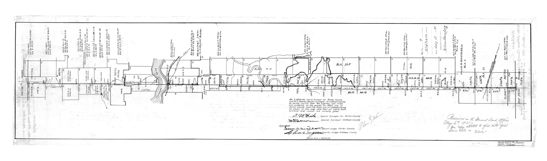
Oldham County Rolled Sketch 9
[Potter-Oldham County Line]
-
Map/Doc
7175
-
Collection
General Map Collection
-
Object Dates
1931 (Creation Date)
1949/7/15 (File Date)
-
People and Organizations
W.D. Howren (Surveyor/Engineer)
E. McBride (Surveyor/Engineer)
-
Counties
Oldham Potter
-
Subjects
Surveying Rolled Sketch
-
Height x Width
13.4 x 45.2 inches
34.0 x 114.8 cm
-
Scale
1" = 4000 feet
Part of: General Map Collection
Haskell County Boundary File 4b

Print $40.00
- Digital $50.00
Haskell County Boundary File 4b
Size 28.6 x 19.7 inches
Map/Doc 54576

Flight Mission No. DIX-6P, Frame 118, Aransas County

Print $20.00
- Digital $50.00
Flight Mission No. DIX-6P, Frame 118, Aransas County
1956
Size 19.1 x 22.9 inches
Map/Doc 83824
Bandera County Boundary File 4a

Print $32.00
- Digital $50.00
Bandera County Boundary File 4a
Size 13.3 x 8.7 inches
Map/Doc 50276
Harris County Sketch File 62

Print $14.00
- Digital $50.00
Harris County Sketch File 62
1930
Size 11.4 x 8.7 inches
Map/Doc 25486
Ector County Working Sketch 1

Print $20.00
- Digital $50.00
Ector County Working Sketch 1
1930
Size 40.7 x 17.0 inches
Map/Doc 62182
Webb County Working Sketch 7

Print $20.00
- Digital $50.00
Webb County Working Sketch 7
1909
Size 29.7 x 20.3 inches
Map/Doc 72372
Newton County Sketch File 20a

Print $8.00
- Digital $50.00
Newton County Sketch File 20a
Size 3.7 x 8.8 inches
Map/Doc 32397
Culberson County Working Sketch 62

Print $20.00
- Digital $50.00
Culberson County Working Sketch 62
1975
Size 32.2 x 24.6 inches
Map/Doc 68516
[Maps of surveys in Reeves & Culberson Cos]
![61129, [Maps of surveys in Reeves & Culberson Cos], General Map Collection](https://historictexasmaps.com/wmedia_w700/maps/61129.tif.jpg)
Print $20.00
- Digital $50.00
[Maps of surveys in Reeves & Culberson Cos]
1937
Size 30.7 x 25.0 inches
Map/Doc 61129
Dimmit County

Print $40.00
- Digital $50.00
Dimmit County
1976
Size 42.2 x 48.9 inches
Map/Doc 77265
Zapata County Working Sketch 4

Print $20.00
- Digital $50.00
Zapata County Working Sketch 4
1935
Size 19.6 x 22.1 inches
Map/Doc 62055
You may also like
Scurry County Working Sketch Graphic Index

Print $20.00
- Digital $50.00
Scurry County Working Sketch Graphic Index
1921
Size 39.9 x 37.0 inches
Map/Doc 76695
Map of Survey made for Bascom Giles, General Land Commissioner, covering Bob Reid Mineral Application No. 35521

Print $20.00
- Digital $50.00
Map of Survey made for Bascom Giles, General Land Commissioner, covering Bob Reid Mineral Application No. 35521
1941
Size 26.5 x 19.1 inches
Map/Doc 91964
Briscoe County Working Sketch Graphic Index

Print $20.00
- Digital $50.00
Briscoe County Working Sketch Graphic Index
1930
Size 43.8 x 37.4 inches
Map/Doc 76478
Right of Way and Track Map, International & Gt. Northern Ry. operated by the International & Gt. Northern Ry. Co. Gulf Division, Mineola Branch

Print $40.00
- Digital $50.00
Right of Way and Track Map, International & Gt. Northern Ry. operated by the International & Gt. Northern Ry. Co. Gulf Division, Mineola Branch
1917
Size 26.3 x 125.4 inches
Map/Doc 64700

Geological Map of the route explored by Lieut. A.W. Whipple, Corps of Topl. Engrs. near the Parallel of 35° North Latitude from the Mississippi River to the Pacific Ocean 1853-1854

Print $20.00
- Digital $50.00
Geological Map of the route explored by Lieut. A.W. Whipple, Corps of Topl. Engrs. near the Parallel of 35° North Latitude from the Mississippi River to the Pacific Ocean 1853-1854
1854
Size 11.2 x 39.3 inches
Map/Doc 95750
Clay County Sketch File 3

Print $2.00
- Digital $50.00
Clay County Sketch File 3
Size 8.7 x 7.7 inches
Map/Doc 18391
Nueces County Rolled Sketch 83

Print $40.00
- Digital $50.00
Nueces County Rolled Sketch 83
1973
Size 20.1 x 48.7 inches
Map/Doc 9629
Webb County Sketch File 57

Print $20.00
- Digital $50.00
Webb County Sketch File 57
1942
Size 34.0 x 17.7 inches
Map/Doc 12652
Brown County Sketch File 6

Print $6.00
- Digital $50.00
Brown County Sketch File 6
1858
Size 10.4 x 8.3 inches
Map/Doc 16587
Palo Pinto County Working Sketch 1

Print $20.00
- Digital $50.00
Palo Pinto County Working Sketch 1
1903
Size 19.0 x 14.6 inches
Map/Doc 71384
[Surveys in Austin's Colony along Buffalo Bayou and the San Jacinto River]
![207, [Surveys in Austin's Colony along Buffalo Bayou and the San Jacinto River], General Map Collection](https://historictexasmaps.com/wmedia_w700/maps/207.tif.jpg)
Print $20.00
- Digital $50.00
[Surveys in Austin's Colony along Buffalo Bayou and the San Jacinto River]
1824
Size 22.3 x 14.3 inches
Map/Doc 207