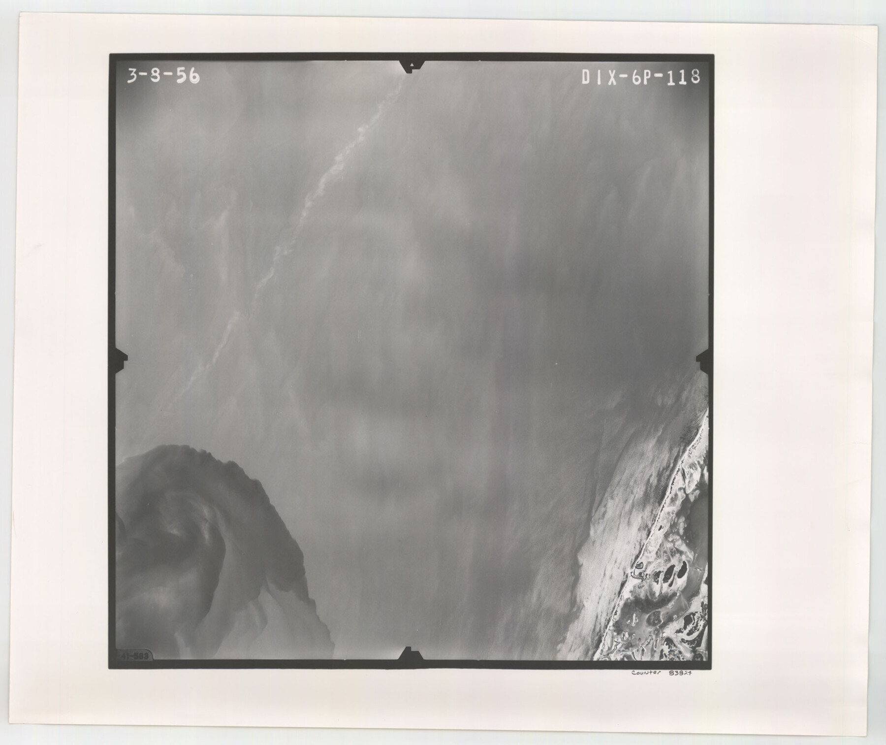
Flight Mission No. DIX-6P, Frame 118, Aransas County
DIX-6P-118
-
Map/Doc
83824
-
Collection
General Map Collection
-
Object Dates
1956/3/8 (Creation Date)
-
People and Organizations
U. S. Department of Agriculture (Publisher)
-
Counties
Aransas
-
Subjects
Aerial Photograph
-
Height x Width
19.1 x 22.9 inches
48.5 x 58.2 cm
-
Comments
Flown by V. L. Beavers and Associates of San Antonio, Texas.
Part of: General Map Collection
Uvalde County Working Sketch 49

Print $20.00
- Digital $50.00
Uvalde County Working Sketch 49
1980
Size 35.4 x 44.7 inches
Map/Doc 72119
Tarrant County Rolled Sketch 3

Print $20.00
- Digital $50.00
Tarrant County Rolled Sketch 3
Size 23.3 x 28.6 inches
Map/Doc 7910
Bee County Working Sketch 32

Print $20.00
- Digital $50.00
Bee County Working Sketch 32
1980
Size 21.7 x 21.0 inches
Map/Doc 67283
Flight Mission No. DAG-24K, Frame 51, Matagorda County

Print $20.00
- Digital $50.00
Flight Mission No. DAG-24K, Frame 51, Matagorda County
1953
Size 16.0 x 15.9 inches
Map/Doc 86538
Hardin County Working Sketch 15

Print $20.00
- Digital $50.00
Hardin County Working Sketch 15
1939
Size 21.1 x 34.6 inches
Map/Doc 63413
Clay County Sketch File 38a

Print $6.00
- Digital $50.00
Clay County Sketch File 38a
1939
Size 14.3 x 8.8 inches
Map/Doc 18469
Montague County Sketch File 14

Print $4.00
- Digital $50.00
Montague County Sketch File 14
1880
Size 7.8 x 5.4 inches
Map/Doc 31740
Armstrong County

Print $20.00
- Digital $50.00
Armstrong County
1904
Size 40.4 x 33.8 inches
Map/Doc 3247
Wharton County Sketch File 9

Print $4.00
- Digital $50.00
Wharton County Sketch File 9
1884
Size 9.1 x 11.7 inches
Map/Doc 39929
Childress County Sketch File 18a

Print $4.00
- Digital $50.00
Childress County Sketch File 18a
1935
Size 11.3 x 7.1 inches
Map/Doc 18364
Jefferson County NRC Article 33.136 Sketch 11

Print $46.00
- Digital $50.00
Jefferson County NRC Article 33.136 Sketch 11
2012
Size 24.0 x 36.0 inches
Map/Doc 95011
Map of Texas Gulf Coast and Continental Shelf showing Natural Gas Pipe Lines

Print $40.00
- Digital $50.00
Map of Texas Gulf Coast and Continental Shelf showing Natural Gas Pipe Lines
1983
Size 40.9 x 59.1 inches
Map/Doc 75969
You may also like
Tarrant County

Print $20.00
- Digital $50.00
Tarrant County
1883
Size 35.5 x 32.8 inches
Map/Doc 4676
Matagorda County Working Sketch Graphic Index, Sheet 2 (Sketches 17 to Most Recent)

Print $40.00
- Digital $50.00
Matagorda County Working Sketch Graphic Index, Sheet 2 (Sketches 17 to Most Recent)
1920
Size 40.1 x 48.6 inches
Map/Doc 76634
Stonewall County Working Sketch 22

Print $20.00
- Digital $50.00
Stonewall County Working Sketch 22
1966
Size 44.2 x 32.9 inches
Map/Doc 62329
Bell County Sketch File 12a

Print $6.00
- Digital $50.00
Bell County Sketch File 12a
1853
Size 12.8 x 8.0 inches
Map/Doc 14387
Flight Mission No. CRE-2R, Frame 156, Jackson County

Print $20.00
- Digital $50.00
Flight Mission No. CRE-2R, Frame 156, Jackson County
1956
Size 16.2 x 16.1 inches
Map/Doc 85367
Map of the City of Washington showing location of fatal cases of Diphtheria and Scarlet Fever; also number of cases thereof reported to the Health Department during the year ending June 30, 1896

Print $20.00
- Digital $50.00
Map of the City of Washington showing location of fatal cases of Diphtheria and Scarlet Fever; also number of cases thereof reported to the Health Department during the year ending June 30, 1896
1896
Size 30.0 x 29.4 inches
Map/Doc 97103
Flight Mission No. BRE-1P, Frame 117, Nueces County

Print $20.00
- Digital $50.00
Flight Mission No. BRE-1P, Frame 117, Nueces County
1956
Size 18.4 x 22.3 inches
Map/Doc 86683
Clay County Boundary File 16

Print $56.00
- Digital $50.00
Clay County Boundary File 16
Size 9.1 x 3.7 inches
Map/Doc 51422
[Sections 69-84 Block 47 and part of Block 3]
![91795, [Sections 69-84 Block 47 and part of Block 3], Twichell Survey Records](https://historictexasmaps.com/wmedia_w700/maps/91795-1.tif.jpg)
Print $2.00
- Digital $50.00
[Sections 69-84 Block 47 and part of Block 3]
Size 14.3 x 8.9 inches
Map/Doc 91795
Bandera County Rolled Sketch 13

Print $20.00
- Digital $50.00
Bandera County Rolled Sketch 13
2018
Size 24.1 x 20.5 inches
Map/Doc 95305
Map of Lipscomb County

Print $20.00
- Digital $50.00
Map of Lipscomb County
1899
Size 42.2 x 38.9 inches
Map/Doc 95572
Travis County Sketch File 37

Print $4.00
- Digital $50.00
Travis County Sketch File 37
Size 8.2 x 10.1 inches
Map/Doc 38357