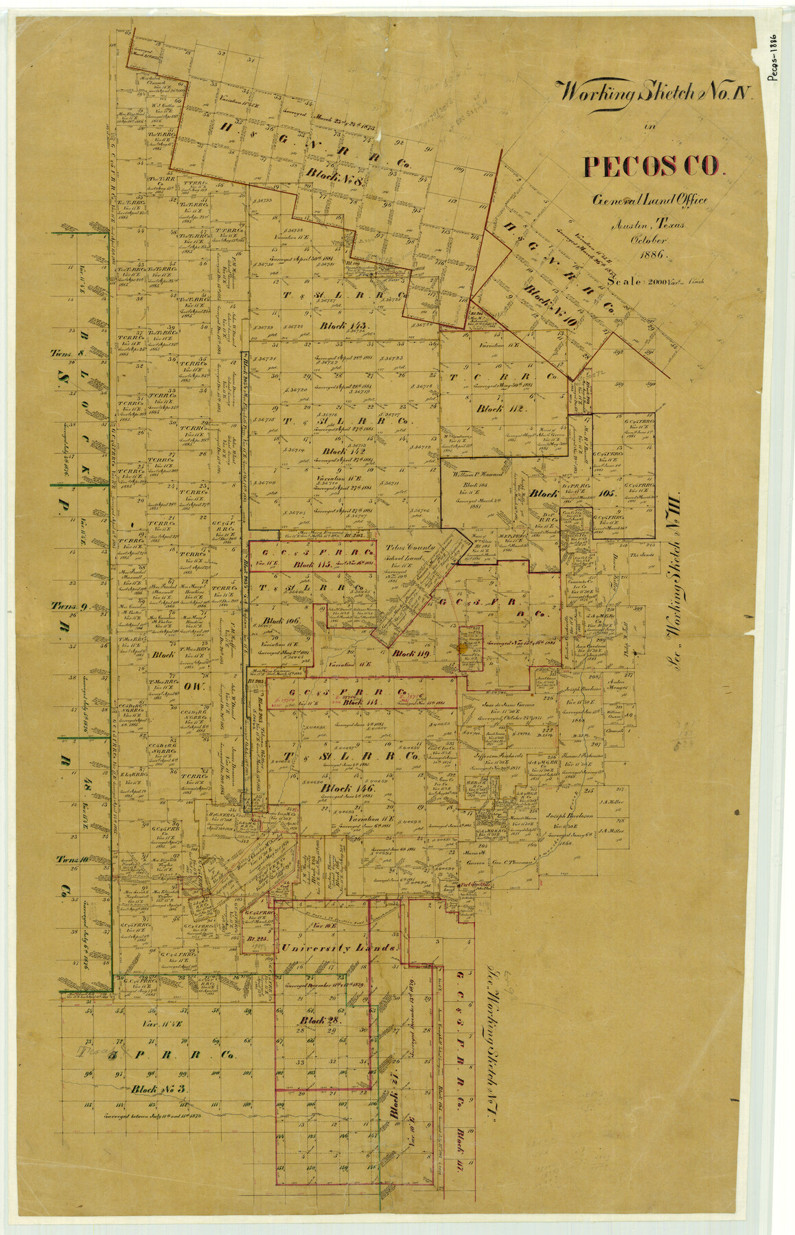
Working Sketch No. IV in Pecos County
-
Map/Doc
3954
-
Collection
General Map Collection
-
Object Dates
1886 (Creation Date)
-
People and Organizations
Texas General Land Office (Publisher)
-
Counties
Pecos
-
Subjects
County
-
Height x Width
36.7 x 23.6 inches
93.2 x 59.9 cm
-
Features
Leon Creek
Comanche Creek
Toyah Road
Leon Spring
Fort Davis to Toyah Road
Fort Davis Road
Leoncito Road
El Paso to Fort Stockton Road
El Paso Road
Fort Stockton Road
Part of: General Map Collection
Presidio County Rolled Sketch 131A

Print $20.00
- Digital $50.00
Presidio County Rolled Sketch 131A
1975
Size 30.5 x 24.9 inches
Map/Doc 10706
Castro County Sketch File 13

Print $4.00
- Digital $50.00
Castro County Sketch File 13
1962
Size 14.1 x 8.6 inches
Map/Doc 17509
Packery Channel

Print $3.00
- Digital $50.00
Packery Channel
1974
Size 10.2 x 10.3 inches
Map/Doc 3000
Bexar County Rolled Sketch 6

Print $40.00
- Digital $50.00
Bexar County Rolled Sketch 6
Size 36.6 x 54.9 inches
Map/Doc 81902
Harrison County Sketch File 17

Print $4.00
- Digital $50.00
Harrison County Sketch File 17
1874
Size 8.8 x 10.5 inches
Map/Doc 26059
Tom Green County Sketch File 31

Print $40.00
- Digital $50.00
Tom Green County Sketch File 31
Size 14.2 x 13.4 inches
Map/Doc 38190
Crockett County Sketch File 60

Print $22.00
- Digital $50.00
Crockett County Sketch File 60
1925
Size 11.4 x 8.7 inches
Map/Doc 19837
Jefferson County Rolled Sketch 61D

Print $20.00
- Digital $50.00
Jefferson County Rolled Sketch 61D
Size 27.2 x 40.5 inches
Map/Doc 6413
Austin County Sketch File 7

Print $40.00
- Digital $50.00
Austin County Sketch File 7
1894
Size 18.8 x 15.7 inches
Map/Doc 10872
Flight Mission No. CLL-3N, Frame 15, Willacy County

Print $20.00
- Digital $50.00
Flight Mission No. CLL-3N, Frame 15, Willacy County
1950
Size 18.4 x 22.0 inches
Map/Doc 87081
Brewster County Sketch File N-29

Print $6.00
- Digital $50.00
Brewster County Sketch File N-29
1969
Size 14.1 x 8.8 inches
Map/Doc 15705
Erath County Rolled Sketch 2A

Print $20.00
- Digital $50.00
Erath County Rolled Sketch 2A
Size 18.8 x 21.4 inches
Map/Doc 5862
You may also like

Reagan County Sketch File 7

Print $6.00
- Digital $50.00
Reagan County Sketch File 7
1928
Size 11.2 x 8.7 inches
Map/Doc 34986
Red River, Bois D'Arc Creek Floodway Sheet No. 3

Print $20.00
- Digital $50.00
Red River, Bois D'Arc Creek Floodway Sheet No. 3
1917
Size 28.8 x 22.0 inches
Map/Doc 69658
Polk County Sketch File 1

Print $4.00
- Digital $50.00
Polk County Sketch File 1
Size 13.0 x 7.9 inches
Map/Doc 34116
Map showing lands of D. Sullivan known as Santa Rosa Ranch situated in Cameron and Hidalgo Counties, Texas

Print $20.00
- Digital $50.00
Map showing lands of D. Sullivan known as Santa Rosa Ranch situated in Cameron and Hidalgo Counties, Texas
1905
Size 26.2 x 23.2 inches
Map/Doc 4455
Flight Mission No. DCL-7C, Frame 71, Kenedy County

Print $20.00
- Digital $50.00
Flight Mission No. DCL-7C, Frame 71, Kenedy County
1943
Size 15.5 x 15.1 inches
Map/Doc 86057
Yoakum County Sketch File 13

Print $49.00
- Digital $50.00
Yoakum County Sketch File 13
1898
Size 8.3 x 8.6 inches
Map/Doc 40767
The Chief Justice County of Nacogdoches. April 25, 1837

Print $20.00
The Chief Justice County of Nacogdoches. April 25, 1837
2020
Size 17.6 x 21.7 inches
Map/Doc 96063
Brazos River, Brazos River Sheet 1

Print $4.00
- Digital $50.00
Brazos River, Brazos River Sheet 1
1926
Size 21.5 x 25.4 inches
Map/Doc 65293
Dawson County Sketch File A

Print $28.00
- Digital $50.00
Dawson County Sketch File A
1903
Size 11.4 x 8.8 inches
Map/Doc 20461
Fannin County Sketch File 20b

Print $4.00
- Digital $50.00
Fannin County Sketch File 20b
1890
Size 14.2 x 8.9 inches
Map/Doc 22485
Harrison County Sketch File 23

Print $125.00
- Digital $50.00
Harrison County Sketch File 23
Size 10.6 x 12.2 inches
Map/Doc 26061