[Sketch of a portion of Hutchinson County, Texas]
-
Map/Doc
413
-
Collection
Maddox Collection
-
Object Dates
1889/12/10 (Creation Date)
1889/12/23 (File Date)
-
People and Organizations
Wm. Yarborough (Surveyor/Engineer)
E. von Rosenberg (Draftsman)
-
Counties
Hutchinson
-
Height x Width
14.9 x 17.3 inches
37.8 x 43.9 cm
-
Medium
blueprint/diazo
Part of: Maddox Collection
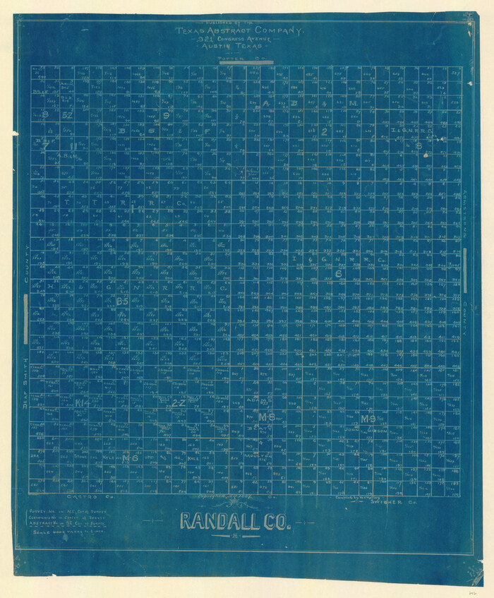
Randall County, Texas

Print $20.00
- Digital $50.00
Randall County, Texas
1887
Size 19.4 x 16.7 inches
Map/Doc 747
Johnson County, Texas


Print $20.00
- Digital $50.00
Johnson County, Texas
1871
Size 18.2 x 23.3 inches
Map/Doc 734
[Sketch Showing Railroad land surveys in Dallam & Sherman Counties, Texas]
![75786, [Sketch Showing Railroad land surveys in Dallam & Sherman Counties, Texas], Maddox Collection](https://historictexasmaps.com/wmedia_w700/maps/75786.tif.jpg)
![75786, [Sketch Showing Railroad land surveys in Dallam & Sherman Counties, Texas], Maddox Collection](https://historictexasmaps.com/wmedia_w700/maps/75786.tif.jpg)
Print $20.00
- Digital $50.00
[Sketch Showing Railroad land surveys in Dallam & Sherman Counties, Texas]
Size 19.4 x 13.4 inches
Map/Doc 75786
Gonzales County, Texas


Print $20.00
- Digital $50.00
Gonzales County, Texas
1880
Size 27.3 x 24.7 inches
Map/Doc 447
Fannin County, Texas


Print $20.00
- Digital $50.00
Fannin County, Texas
1870
Size 22.7 x 18.8 inches
Map/Doc 725
[Surveying Sketch of Jesse McGee, Jas McKim, W. S. Kennard, et al in Sabine and Newton Counties, Texas]
![5066, [Surveying Sketch of Jesse McGee, Jas McKim, W. S. Kennard, et al in Sabine and Newton Counties, Texas], Maddox Collection](https://historictexasmaps.com/wmedia_w700/maps/5066.tif.jpg)
![5066, [Surveying Sketch of Jesse McGee, Jas McKim, W. S. Kennard, et al in Sabine and Newton Counties, Texas], Maddox Collection](https://historictexasmaps.com/wmedia_w700/maps/5066.tif.jpg)
Print $20.00
- Digital $50.00
[Surveying Sketch of Jesse McGee, Jas McKim, W. S. Kennard, et al in Sabine and Newton Counties, Texas]
1916
Size 32.0 x 37.5 inches
Map/Doc 5066
[Surveying Sketch of W.B. Tatum, Wm. B. Jordan, et al]
![428, [Surveying Sketch of W.B. Tatum, Wm. B. Jordan, et al], Maddox Collection](https://historictexasmaps.com/wmedia_w700/maps/0428.tif.jpg)
![428, [Surveying Sketch of W.B. Tatum, Wm. B. Jordan, et al], Maddox Collection](https://historictexasmaps.com/wmedia_w700/maps/0428.tif.jpg)
Print $2.00
- Digital $50.00
[Surveying Sketch of W.B. Tatum, Wm. B. Jordan, et al]
Size 8.9 x 10.8 inches
Map/Doc 428
[Wm. Lewis No. 254 and Surrounding Surveys, Aransas County, Texas]
![82557, [Wm. Lewis No. 254 and Surrounding Surveys, Aransas County, Texas], Maddox Collection](https://historictexasmaps.com/wmedia_w700/maps/82557.tif.jpg)
![82557, [Wm. Lewis No. 254 and Surrounding Surveys, Aransas County, Texas], Maddox Collection](https://historictexasmaps.com/wmedia_w700/maps/82557.tif.jpg)
Print $20.00
- Digital $50.00
[Wm. Lewis No. 254 and Surrounding Surveys, Aransas County, Texas]
Size 18.8 x 35.2 inches
Map/Doc 82557
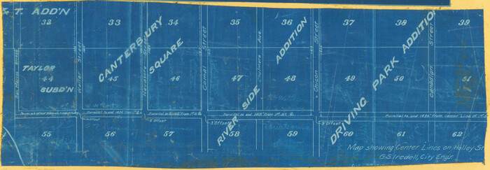
Map showing Center Lines on Holley St.

Print $3.00
- Digital $50.00
Map showing Center Lines on Holley St.
1912
Size 6.1 x 17.5 inches
Map/Doc 495
Sabine County, Texas


Print $20.00
- Digital $50.00
Sabine County, Texas
1879
Size 22.1 x 18.6 inches
Map/Doc 751
Map of Concho County, Texas


Print $20.00
- Digital $50.00
Map of Concho County, Texas
1879
Size 28.8 x 23.9 inches
Map/Doc 703
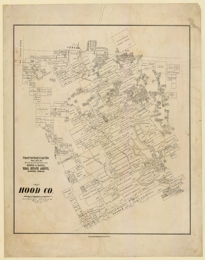
Map of Hood County, Texas

Print $20.00
- Digital $50.00
Map of Hood County, Texas
1870
Size 23.9 x 19.0 inches
Map/Doc 732
You may also like
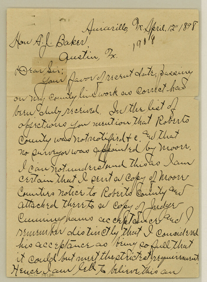
Potter County Boundary File 3d

Print $12.00
- Digital $50.00
Potter County Boundary File 3d
Size 7.9 x 5.8 inches
Map/Doc 57987
Culberson County Working Sketch 66
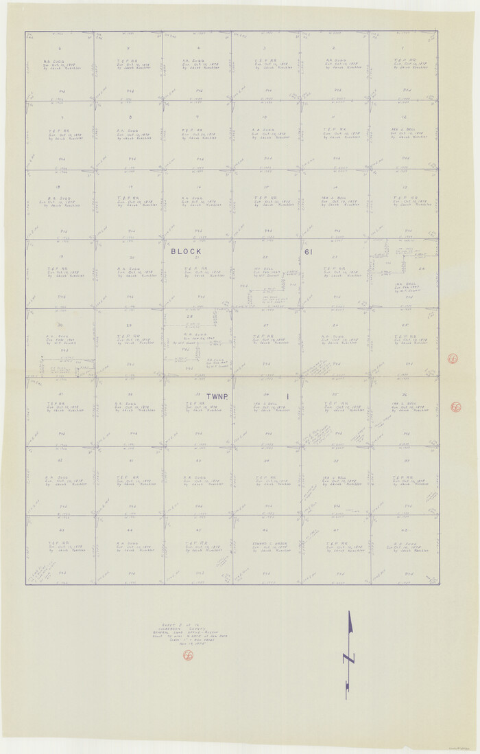

Print $40.00
- Digital $50.00
Culberson County Working Sketch 66
1975
Size 52.1 x 33.2 inches
Map/Doc 68520
The Republic County of San Patricio. 1840


Print $20.00
The Republic County of San Patricio. 1840
2020
Size 22.2 x 21.7 inches
Map/Doc 96276
Kimble County Working Sketch 39


Print $20.00
- Digital $50.00
Kimble County Working Sketch 39
1947
Size 30.8 x 23.5 inches
Map/Doc 70107
[Area in the vicinity of the Mary Fury survey south of H. T. & B. RR. Co. surveys 125 and 126]
![90933, [Area in the vicinity of the Mary Fury survey south of H. T. & B. RR. Co. surveys 125 and 126], Twichell Survey Records](https://historictexasmaps.com/wmedia_w700/maps/90933-1.tif.jpg)
![90933, [Area in the vicinity of the Mary Fury survey south of H. T. & B. RR. Co. surveys 125 and 126], Twichell Survey Records](https://historictexasmaps.com/wmedia_w700/maps/90933-1.tif.jpg)
Print $20.00
- Digital $50.00
[Area in the vicinity of the Mary Fury survey south of H. T. & B. RR. Co. surveys 125 and 126]
Size 13.5 x 21.7 inches
Map/Doc 90933
Menard County Working Sketch 33
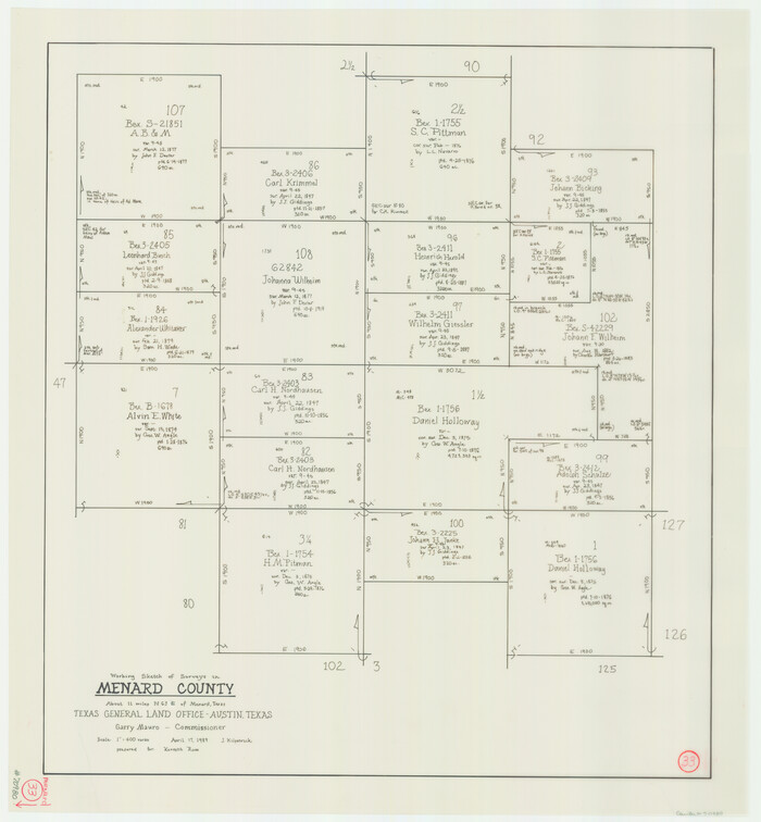

Print $20.00
- Digital $50.00
Menard County Working Sketch 33
1989
Size 27.2 x 25.2 inches
Map/Doc 70980
'The Cradle of Texas' - San Augustine


Print $20.00
- Digital $50.00
'The Cradle of Texas' - San Augustine
Size 19.3 x 25.3 inches
Map/Doc 94441
Matagorda County Rolled Sketch 25

Print $115.00
- Digital $50.00
Matagorda County Rolled Sketch 25
Size 9.7 x 15.0 inches
Map/Doc 46624
Gray County Sketch File 7c


Print $20.00
- Digital $50.00
Gray County Sketch File 7c
1885
Size 26.5 x 19.6 inches
Map/Doc 11576
Trinity River, Reynard Sheet
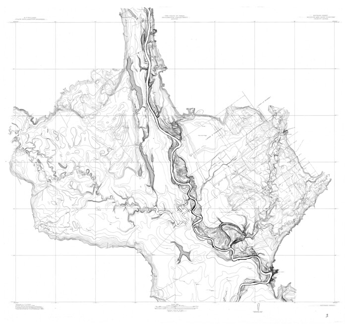

Print $20.00
- Digital $50.00
Trinity River, Reynard Sheet
1925
Size 42.3 x 45.3 inches
Map/Doc 65181
Leon County Working Sketch 49
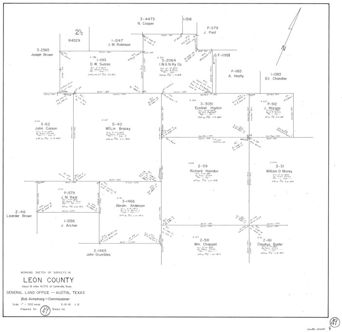

Print $20.00
- Digital $50.00
Leon County Working Sketch 49
1981
Size 23.9 x 24.7 inches
Map/Doc 70448
Flight Mission No. BQR-7K, Frame 27, Brazoria County
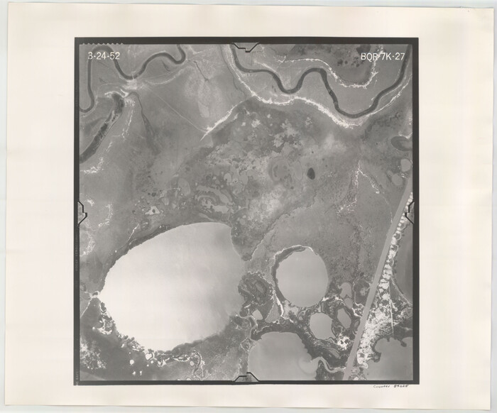

Print $20.00
- Digital $50.00
Flight Mission No. BQR-7K, Frame 27, Brazoria County
1952
Size 18.6 x 22.3 inches
Map/Doc 84025
![413, [Sketch of a portion of Hutchinson County, Texas], Maddox Collection](https://historictexasmaps.com/wmedia_w1800h1800/maps/0413.tif.jpg)