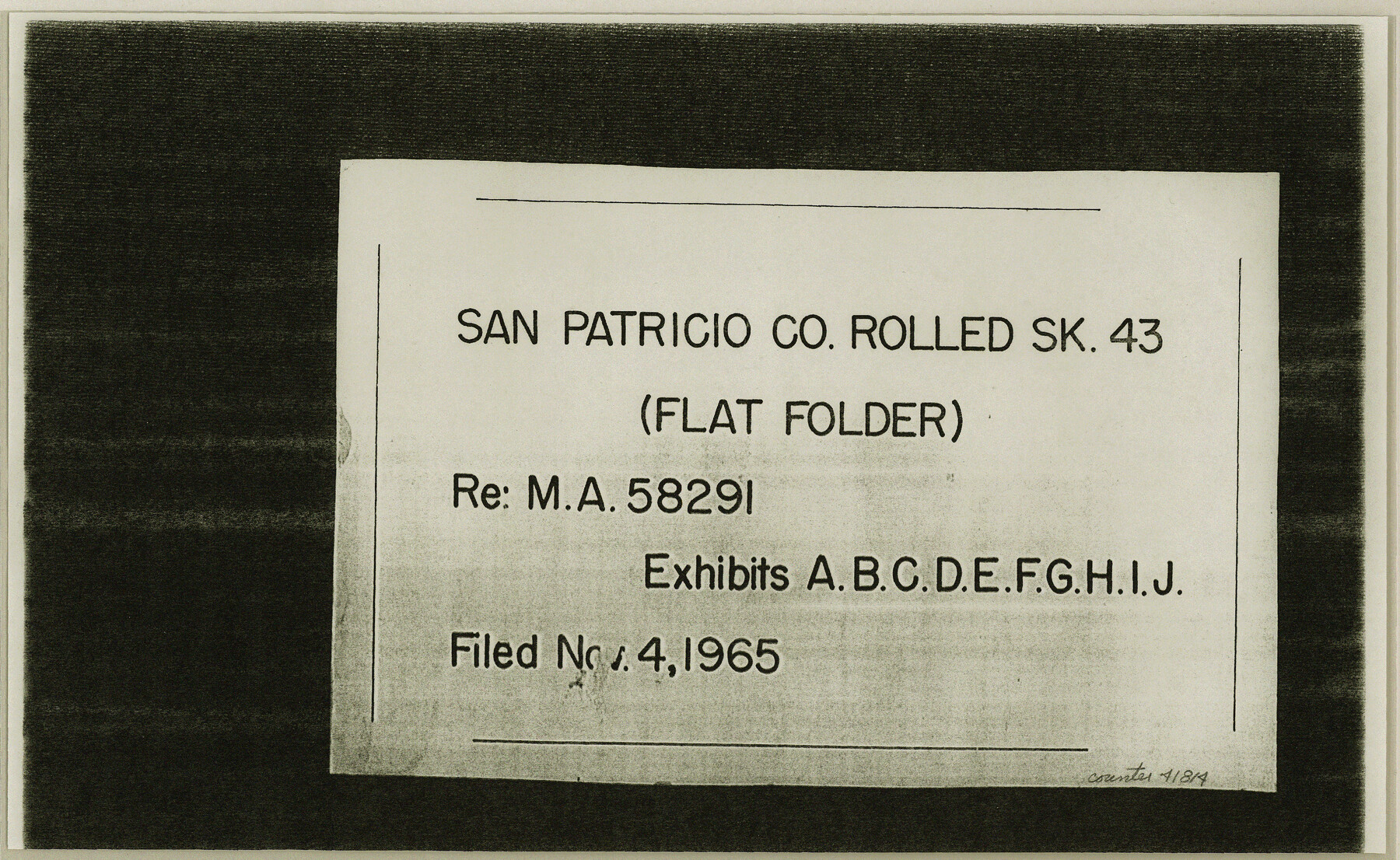
San Patricio County Rolled Sketch 43
Exhibits A, B, C, D, E, F, G, H, I, & J regarding MA-58291, San Patricio County, Texas
-
Map/Doc
41814
-
Collection
General Map Collection
-
Object Dates
1965/11/4 (File Date)
-
Counties
San Patricio
-
Subjects
Surveying Rolled Sketch
-
Height x Width
8.8 x 14.2 inches
22.4 x 36.1 cm
-
Medium
multi-page, multi-format
Part of: General Map Collection
Maps of Gulf Intracoastal Waterway, Texas - Sabine River to the Rio Grande and connecting waterways including ship channels

Print $20.00
- Digital $50.00
Maps of Gulf Intracoastal Waterway, Texas - Sabine River to the Rio Grande and connecting waterways including ship channels
1966
Size 14.6 x 22.2 inches
Map/Doc 61958
The World on an Equatorial Projection, Map of the Eastern and Western Hemispheres / The World on a Polar Projection, Map of the Northern and Southern Hemispheres / Inset: Map of the most recent Antarctic Discoveries

Print $20.00
- Digital $50.00
The World on an Equatorial Projection, Map of the Eastern and Western Hemispheres / The World on a Polar Projection, Map of the Northern and Southern Hemispheres / Inset: Map of the most recent Antarctic Discoveries
1839
Size 11.8 x 9.5 inches
Map/Doc 93492
Map showing resurvey of Capitol Leagues, Oldham Co., Texas

Print $40.00
- Digital $50.00
Map showing resurvey of Capitol Leagues, Oldham Co., Texas
1918
Size 38.6 x 51.0 inches
Map/Doc 1755
Falls County Rolled Sketch 1

Print $73.00
- Digital $50.00
Falls County Rolled Sketch 1
1934
Size 10.6 x 15.1 inches
Map/Doc 44540
Parmer County Sketch File 4

Print $44.00
- Digital $50.00
Parmer County Sketch File 4
1913
Size 7.1 x 8.6 inches
Map/Doc 33630
Crockett County Rolled Sketch P1

Print $82.00
- Digital $50.00
Crockett County Rolled Sketch P1
1927
Size 10.3 x 15.9 inches
Map/Doc 44220
Lynn County Boundary File 4

Print $4.00
- Digital $50.00
Lynn County Boundary File 4
Size 11.3 x 8.7 inches
Map/Doc 56626
Flight Mission No. BRE-1P, Frame 129, Nueces County

Print $20.00
- Digital $50.00
Flight Mission No. BRE-1P, Frame 129, Nueces County
1956
Size 18.5 x 22.6 inches
Map/Doc 86695
Sketch of surveys in Shelby Co.

Print $2.00
- Digital $50.00
Sketch of surveys in Shelby Co.
1845
Size 6.4 x 8.8 inches
Map/Doc 69741
Val Verde County Sketch File B1

Print $20.00
- Digital $50.00
Val Verde County Sketch File B1
1905
Size 21.3 x 20.7 inches
Map/Doc 12543
Deaf Smith County Rolled Sketch 3

Print $20.00
- Digital $50.00
Deaf Smith County Rolled Sketch 3
Size 23.9 x 18.0 inches
Map/Doc 95707
Brewster County Rolled Sketch 125

Print $179.00
- Digital $50.00
Brewster County Rolled Sketch 125
1889
Map/Doc 43141
You may also like
Val Verde County Rolled Sketch 79

Print $20.00
- Digital $50.00
Val Verde County Rolled Sketch 79
1983
Size 25.6 x 21.7 inches
Map/Doc 8141
Hardin County Rolled Sketch 15

Print $20.00
- Digital $50.00
Hardin County Rolled Sketch 15
Size 26.6 x 29.0 inches
Map/Doc 6086
Flight Mission No. CUG-3P, Frame 82, Kleberg County

Print $20.00
- Digital $50.00
Flight Mission No. CUG-3P, Frame 82, Kleberg County
1956
Size 18.6 x 22.2 inches
Map/Doc 86257
Dimmit County Sketch File 26

Print $6.00
- Digital $50.00
Dimmit County Sketch File 26
Size 13.5 x 10.2 inches
Map/Doc 21144
Plat of Resurvey of Sections 13, 24, 25 and 26, T. 5S., R. 12W., of the Indian Meridian, Oklahoma

Print $4.00
- Digital $50.00
Plat of Resurvey of Sections 13, 24, 25 and 26, T. 5S., R. 12W., of the Indian Meridian, Oklahoma
1917
Size 18.3 x 24.1 inches
Map/Doc 75158
Burleson County Working Sketch 43

Print $20.00
- Digital $50.00
Burleson County Working Sketch 43
1991
Size 35.8 x 14.1 inches
Map/Doc 67762
Flight Mission No. BRA-8M, Frame 65, Jefferson County

Print $20.00
- Digital $50.00
Flight Mission No. BRA-8M, Frame 65, Jefferson County
1953
Size 18.6 x 22.4 inches
Map/Doc 85585
Foard County Sketch File 34

Print $20.00
- Digital $50.00
Foard County Sketch File 34
1889
Size 29.1 x 24.9 inches
Map/Doc 11497
Hudspeth County Working Sketch 11a

Print $20.00
- Digital $50.00
Hudspeth County Working Sketch 11a
1947
Size 40.9 x 37.9 inches
Map/Doc 66293
Sterling County Sketch File 20

Print $12.00
- Digital $50.00
Sterling County Sketch File 20
1952
Size 11.2 x 8.7 inches
Map/Doc 37173

Atascosa County Sketch File 2

Print $8.00
- Digital $50.00
Atascosa County Sketch File 2
1847
Size 7.8 x 5.9 inches
Map/Doc 13724