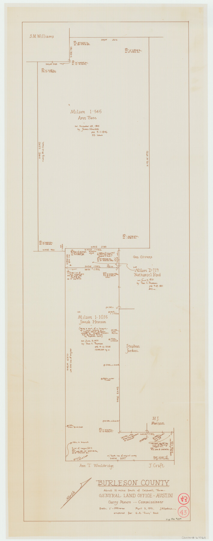
Burleson County Working Sketch 43
-
Map/Doc
67762
-
Collection
General Map Collection
-
Object Dates
4/5/1991 (Creation Date)
-
People and Organizations
Joan Kilpatrick (Draftsman)
-
Counties
Burleson
-
Subjects
Surveying Working Sketch
-
Height x Width
35.8 x 14.1 inches
90.9 x 35.8 cm
-
Scale
1" = 500 varas
Part of: General Map Collection
Webb County Sketch File 65

Print $10.00
- Digital $50.00
Webb County Sketch File 65
1949
Size 14.5 x 8.9 inches
Map/Doc 39865
Flight Mission No. DAH-9M, Frame 88, Orange County

Print $20.00
- Digital $50.00
Flight Mission No. DAH-9M, Frame 88, Orange County
1953
Size 18.5 x 22.6 inches
Map/Doc 86852
La Salle County Working Sketch 26

Print $20.00
- Digital $50.00
La Salle County Working Sketch 26
1949
Size 28.2 x 16.3 inches
Map/Doc 70327
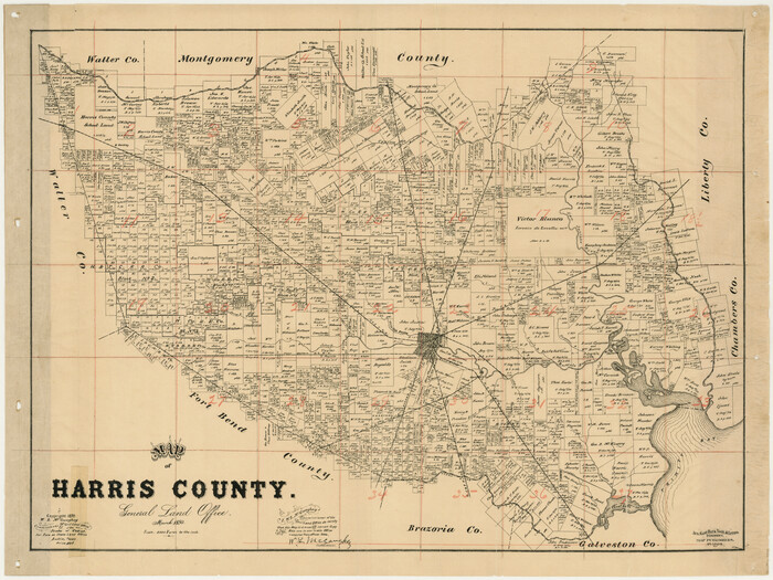
Map of Harris County
Print $20.00
- Digital $50.00
Map of Harris County
1893
Size 26.6 x 34.4 inches
Map/Doc 65810
Kimble County Rolled Sketch 26

Print $20.00
- Digital $50.00
Kimble County Rolled Sketch 26
1960
Size 26.4 x 21.6 inches
Map/Doc 6516
Kendall County Sketch File 11

Print $8.00
- Digital $50.00
Kendall County Sketch File 11
1924
Size 11.2 x 8.7 inches
Map/Doc 28695
Midland County Rolled Sketch 1

Print $20.00
- Digital $50.00
Midland County Rolled Sketch 1
1940
Size 32.9 x 35.0 inches
Map/Doc 9512
Wichita County Working Sketch 19

Print $20.00
- Digital $50.00
Wichita County Working Sketch 19
1949
Size 18.1 x 30.9 inches
Map/Doc 72529

Right of Way and Track Map, Houston & Texas Central R.R. operated by the T. and N. O. R.R., Fort Worth Branch

Print $40.00
- Digital $50.00
Right of Way and Track Map, Houston & Texas Central R.R. operated by the T. and N. O. R.R., Fort Worth Branch
1918
Size 31.8 x 57.1 inches
Map/Doc 64781
Sketch of surveys in Harrison & Marion Cos. Showing Caddo Lake & Subdivisions

Print $20.00
- Digital $50.00
Sketch of surveys in Harrison & Marion Cos. Showing Caddo Lake & Subdivisions
1955
Size 33.8 x 32.4 inches
Map/Doc 93284
Harrison County

Print $20.00
- Digital $50.00
Harrison County
1920
Size 42.8 x 39.8 inches
Map/Doc 73173
You may also like
Cottle County Rolled Sketch 5

Print $20.00
- Digital $50.00
Cottle County Rolled Sketch 5
1911
Size 31.0 x 41.1 inches
Map/Doc 8672
Presidio County Working Sketch 81

Print $20.00
- Digital $50.00
Presidio County Working Sketch 81
1967
Size 18.9 x 17.4 inches
Map/Doc 71758
Die Vereinigten Staaten v. Nord-America

Print $20.00
- Digital $50.00
Die Vereinigten Staaten v. Nord-America
1846
Size 21.0 x 27.9 inches
Map/Doc 94513
Trinity County Working Sketch 27

Print $20.00
- Digital $50.00
Trinity County Working Sketch 27
2010
Size 26.8 x 36.8 inches
Map/Doc 90069
Sketch exhibiting inland channel from Saluria to Corpus Christi traced from a copy of a map belonging to U. S. Engr. Dept.

Print $20.00
- Digital $50.00
Sketch exhibiting inland channel from Saluria to Corpus Christi traced from a copy of a map belonging to U. S. Engr. Dept.
1853
Size 18.3 x 28.3 inches
Map/Doc 73007
Texas Coast Showing Points of Occupation of Expedition Under Maj. Gen. N.P. Banks, Novr. 1863

Print $20.00
Texas Coast Showing Points of Occupation of Expedition Under Maj. Gen. N.P. Banks, Novr. 1863
1863
Size 16.0 x 17.1 inches
Map/Doc 88593
East Part of Brewster Co.

Print $40.00
- Digital $50.00
East Part of Brewster Co.
1952
Size 48.5 x 30.7 inches
Map/Doc 73087
Revolutionary Map of Texas, 1836

Print $27.06
Revolutionary Map of Texas, 1836
1986
Size 32.7 x 26.7 inches
Map/Doc 89022
![94185, Texas [Recto], General Map Collection](https://historictexasmaps.com/wmedia_w700/maps/94185.tif.jpg)
Polk County Working Sketch 21

Print $20.00
- Digital $50.00
Polk County Working Sketch 21
1953
Size 22.6 x 24.2 inches
Map/Doc 71636
Cherokee County Sketch File 15

Print $6.00
- Digital $50.00
Cherokee County Sketch File 15
Size 12.4 x 8.0 inches
Map/Doc 18149
Ector County Working Sketch 33

Print $20.00
- Digital $50.00
Ector County Working Sketch 33
1982
Size 24.7 x 29.0 inches
Map/Doc 68876