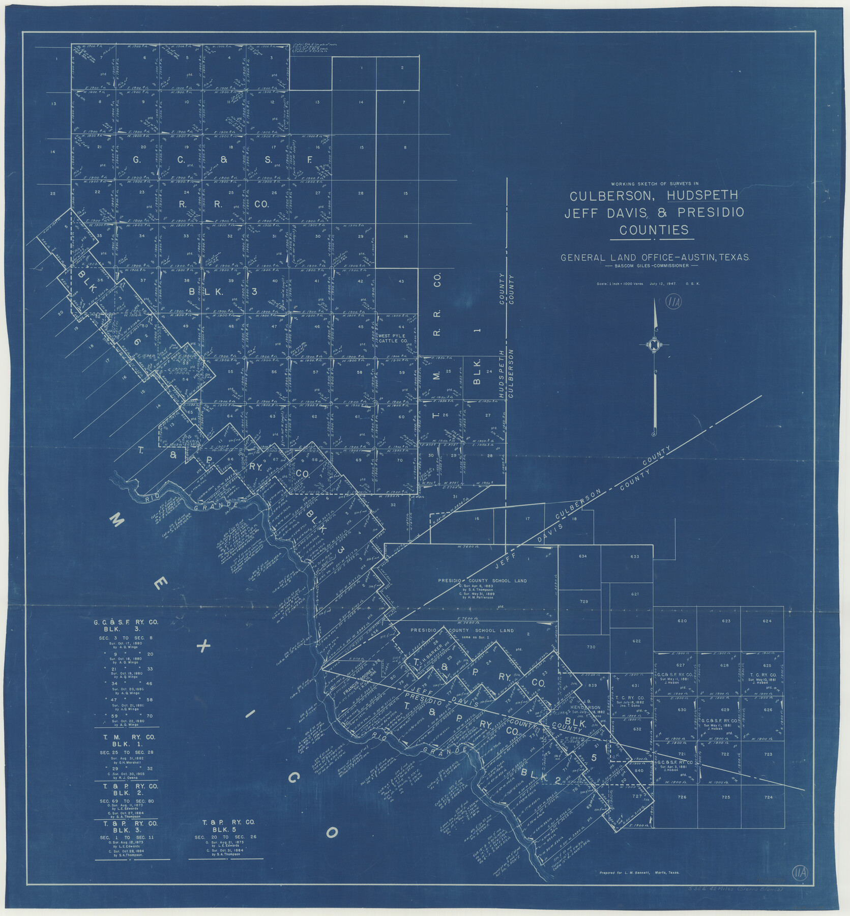
Hudspeth County Working Sketch 11a
-
Map/Doc
66293
-
Collection
General Map Collection
-
Object Dates
7/12/1947 (Creation Date)
-
People and Organizations
Otto G. Kurio (Draftsman)
-
Counties
Hudspeth Culberson Jeff Davis Presidio
-
Subjects
Surveying Working Sketch
-
Height x Width
40.9 x 37.9 inches
103.9 x 96.3 cm
-
Scale
1" = 1000 varas
Part of: General Map Collection
Dallas County Rolled Sketch 5

Print $20.00
- Digital $50.00
Dallas County Rolled Sketch 5
1955
Size 23.8 x 30.8 inches
Map/Doc 5689
Stonewall County Working Sketch 20

Print $20.00
- Digital $50.00
Stonewall County Working Sketch 20
1961
Size 33.3 x 40.0 inches
Map/Doc 62327
Maps of Gulf Intracoastal Waterway, Texas - Sabine River to the Rio Grande and connecting waterways including ship channels

Print $20.00
- Digital $50.00
Maps of Gulf Intracoastal Waterway, Texas - Sabine River to the Rio Grande and connecting waterways including ship channels
1966
Size 14.5 x 22.2 inches
Map/Doc 61964
Intracoastal Waterway in Texas - Corpus Christi to Point Isabel including Arroyo Colorado to Mo. Pac. R.R. Bridge Near Harlingen

Print $20.00
- Digital $50.00
Intracoastal Waterway in Texas - Corpus Christi to Point Isabel including Arroyo Colorado to Mo. Pac. R.R. Bridge Near Harlingen
1934
Size 21.5 x 32.4 inches
Map/Doc 61883
Red River County Working Sketch 13

Print $20.00
- Digital $50.00
Red River County Working Sketch 13
1947
Size 37.1 x 39.9 inches
Map/Doc 71996
Roberts County Rolled Sketch 5

Print $20.00
- Digital $50.00
Roberts County Rolled Sketch 5
2015
Size 42.6 x 25.0 inches
Map/Doc 94071
Brewster County Sketch File 52

Print $16.00
- Digital $50.00
Brewster County Sketch File 52
1996
Size 14.1 x 8.8 inches
Map/Doc 16357
Flight Mission No. DQN-1K, Frame 41, Calhoun County

Print $20.00
- Digital $50.00
Flight Mission No. DQN-1K, Frame 41, Calhoun County
1953
Size 18.5 x 22.2 inches
Map/Doc 84141
Angelina County Working Sketch 22a

Print $20.00
- Digital $50.00
Angelina County Working Sketch 22a
1953
Size 22.3 x 20.1 inches
Map/Doc 67103
Potter County Boundary File 5

Print $24.00
- Digital $50.00
Potter County Boundary File 5
Size 15.0 x 9.4 inches
Map/Doc 58013
Railroad Track Map, H&TCRRCo., Falls County, Texas

Print $4.00
- Digital $50.00
Railroad Track Map, H&TCRRCo., Falls County, Texas
1918
Size 11.7 x 18.5 inches
Map/Doc 62839
Flight Mission No. DAG-24K, Frame 48, Matagorda County

Print $20.00
- Digital $50.00
Flight Mission No. DAG-24K, Frame 48, Matagorda County
1953
Size 18.5 x 22.1 inches
Map/Doc 86535
You may also like
Report on the Meridional Boundary between Louisiana and Texas, retracement by the Louisiana Geodetic Survey

Print $2.00
- Digital $50.00
Report on the Meridional Boundary between Louisiana and Texas, retracement by the Louisiana Geodetic Survey
Size 11.2 x 8.8 inches
Map/Doc 61174
Bee County Sketch File 22

Print $8.00
- Digital $50.00
Bee County Sketch File 22
1878
Size 10.0 x 8.0 inches
Map/Doc 14314
![91462, [Block B7], Twichell Survey Records](https://historictexasmaps.com/wmedia_w700/maps/91462-1.tif.jpg)
Railroad Track Map, H&TCRRCo., Falls County, Texas

Print $4.00
- Digital $50.00
Railroad Track Map, H&TCRRCo., Falls County, Texas
1918
Size 11.7 x 18.3 inches
Map/Doc 62853
Hays County Sketch File 15

Print $40.00
- Digital $50.00
Hays County Sketch File 15
1871
Size 12.0 x 16.6 inches
Map/Doc 26225
Map of the Lands belonging to the Texas Land & Cattle Co. situated in Wharton, Matagorda and Jackson Counties, Texas

Print $20.00
- Digital $50.00
Map of the Lands belonging to the Texas Land & Cattle Co. situated in Wharton, Matagorda and Jackson Counties, Texas
1904
Size 24.6 x 38.5 inches
Map/Doc 94020
Kent County Sketch File 15

Print $8.00
- Digital $50.00
Kent County Sketch File 15
1936
Size 11.4 x 7.2 inches
Map/Doc 28842
Presidio County Rolled Sketch 95

Print $20.00
- Digital $50.00
Presidio County Rolled Sketch 95
1949
Size 45.4 x 37.5 inches
Map/Doc 9781
Wichita County Rolled Sketch 2

Print $20.00
- Digital $50.00
Wichita County Rolled Sketch 2
1879
Size 20.6 x 26.3 inches
Map/Doc 78471
Flight Mission No. DAG-17K, Frame 120, Matagorda County

Print $20.00
- Digital $50.00
Flight Mission No. DAG-17K, Frame 120, Matagorda County
1952
Size 18.6 x 22.4 inches
Map/Doc 86340
Trinity River, Dallas Elevation Sheet

Print $20.00
- Digital $50.00
Trinity River, Dallas Elevation Sheet
1913
Size 26.6 x 24.1 inches
Map/Doc 65258
Hill County Sketch File 8a

Print $4.00
- Digital $50.00
Hill County Sketch File 8a
1858
Size 10.2 x 8.1 inches
Map/Doc 26474