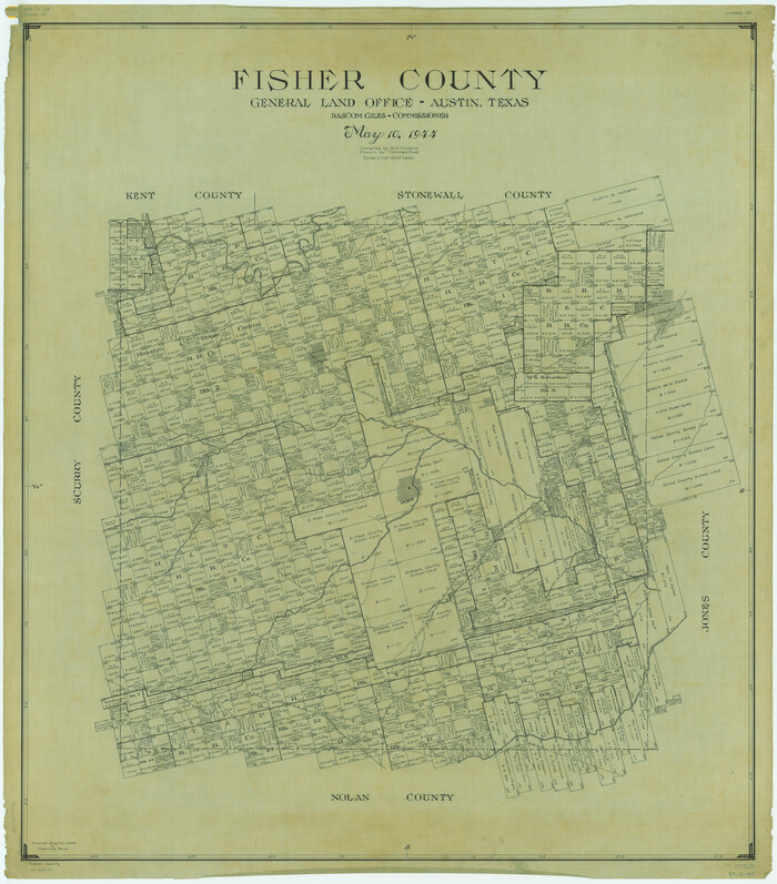
[Map of Upshur County]
Upshur County Boundary File 1
-
Map/Doc
4651
-
Collection
General Map Collection
-
Object Dates
1850/10/12 (Creation Date)
-
People and Organizations
Nacogdoches District, Harrison District (Publisher)
A.A. Nelson (Surveyor/Engineer)
-
Counties
Upshur
-
Subjects
County County Boundaries
-
Height x Width
25.2 x 17.8 inches
64.0 x 45.2 cm
-
Medium
paper, manuscript
-
Comments
See Upshur County Boundary File 1, counter number 59500 for report (PDF) filed with this map.
Conservation funded in 2012. -
Features
Big Cypress Creek
Prairie Creek
Lilley [sic] Creek
Richland Creek
Gilmer
Big Sandy Creek
Glade Creek
Walnut Creek
Panther Creek
Sabine River
Clear Creek
White Oak Creek
Related maps
Upshur County Boundary File 1
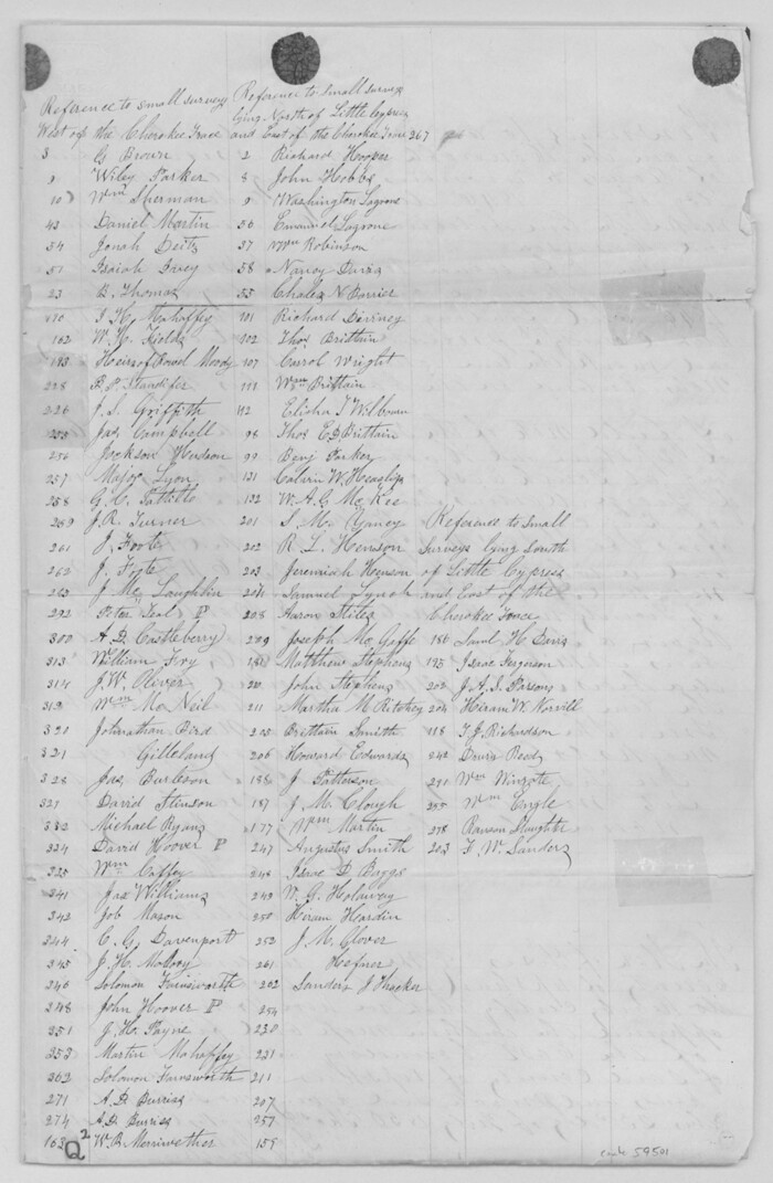

Print $30.00
- Digital $50.00
Upshur County Boundary File 1
Size 9.4 x 8.6 inches
Map/Doc 59500
Part of: General Map Collection
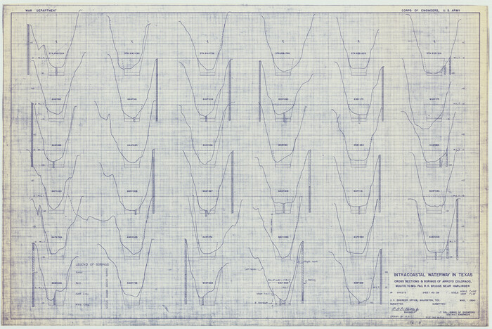
Intracoastal Waterway in Texas - Corpus Christi to Point Isabel including Arroyo Colorado to Mo. Pac. R.R. Bridge Near Harlingen

Print $20.00
- Digital $50.00
Intracoastal Waterway in Texas - Corpus Christi to Point Isabel including Arroyo Colorado to Mo. Pac. R.R. Bridge Near Harlingen
1934
Size 21.8 x 32.7 inches
Map/Doc 61885
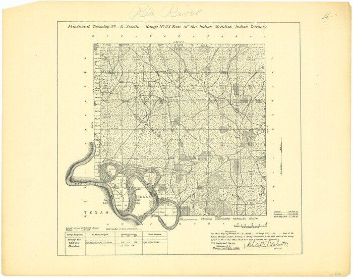
Fractional Township No. 8 South Range No. 23 East of the Indian Meridian, Indian Territory

Print $20.00
- Digital $50.00
Fractional Township No. 8 South Range No. 23 East of the Indian Meridian, Indian Territory
1898
Size 19.1 x 24.3 inches
Map/Doc 75249
Terrell County Working Sketch 12
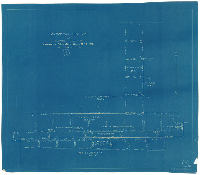

Print $20.00
- Digital $50.00
Terrell County Working Sketch 12
1926
Size 18.3 x 21.0 inches
Map/Doc 62161
Midland County Rolled Sketch 14
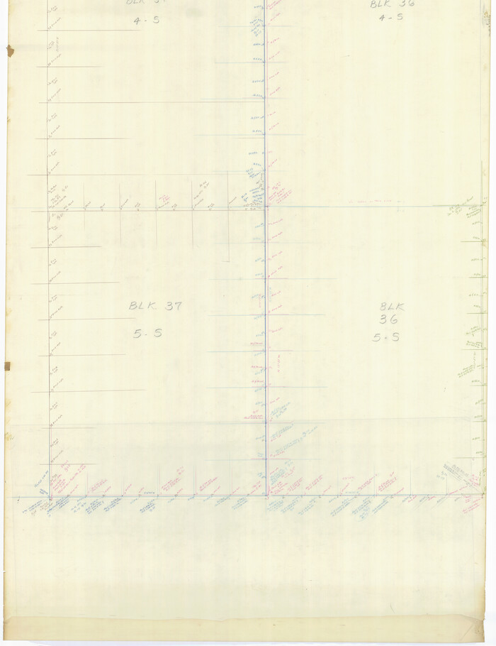

Print $40.00
- Digital $50.00
Midland County Rolled Sketch 14
Size 56.6 x 43.5 inches
Map/Doc 73574
Mexico, Texas und Californien
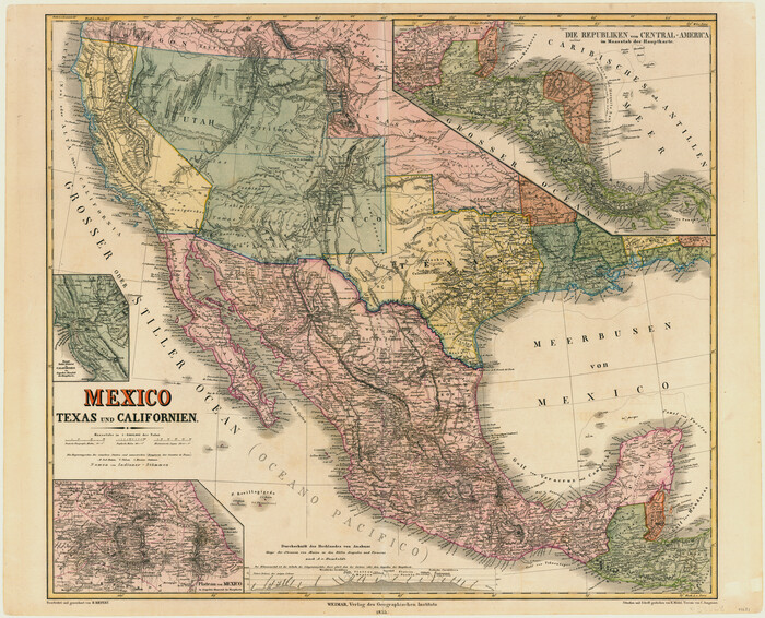

Print $20.00
- Digital $50.00
Mexico, Texas und Californien
1855
Size 22.7 x 28.0 inches
Map/Doc 93651
Hays County Working Sketch 13


Print $20.00
- Digital $50.00
Hays County Working Sketch 13
1952
Size 24.2 x 35.0 inches
Map/Doc 66087
Flight Mission No. CRC-4R, Frame 184, Chambers County
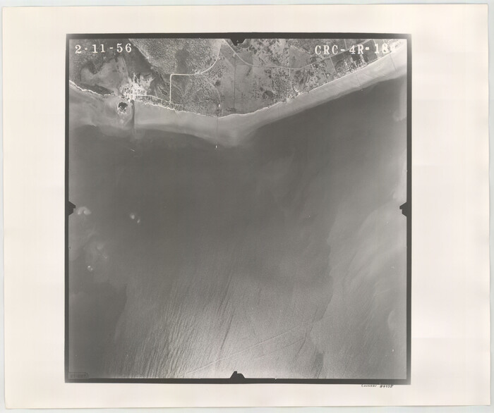

Print $20.00
- Digital $50.00
Flight Mission No. CRC-4R, Frame 184, Chambers County
1956
Size 18.6 x 22.3 inches
Map/Doc 84935
Flight Mission No. DQN-2K, Frame 163, Calhoun County
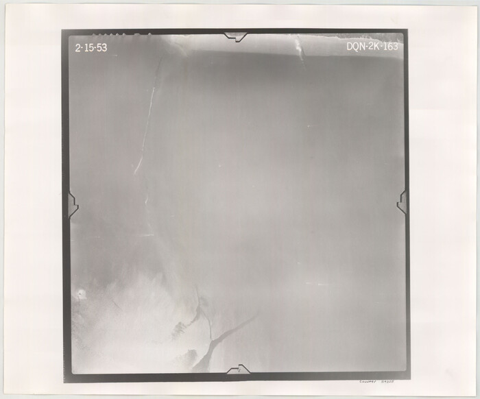

Print $20.00
- Digital $50.00
Flight Mission No. DQN-2K, Frame 163, Calhoun County
1953
Size 18.5 x 22.2 inches
Map/Doc 84325
Flight Mission No. BRE-5P, Frame 199, Nueces County


Print $20.00
- Digital $50.00
Flight Mission No. BRE-5P, Frame 199, Nueces County
1956
Size 18.4 x 22.3 inches
Map/Doc 86839
Crosby County Sketch File A
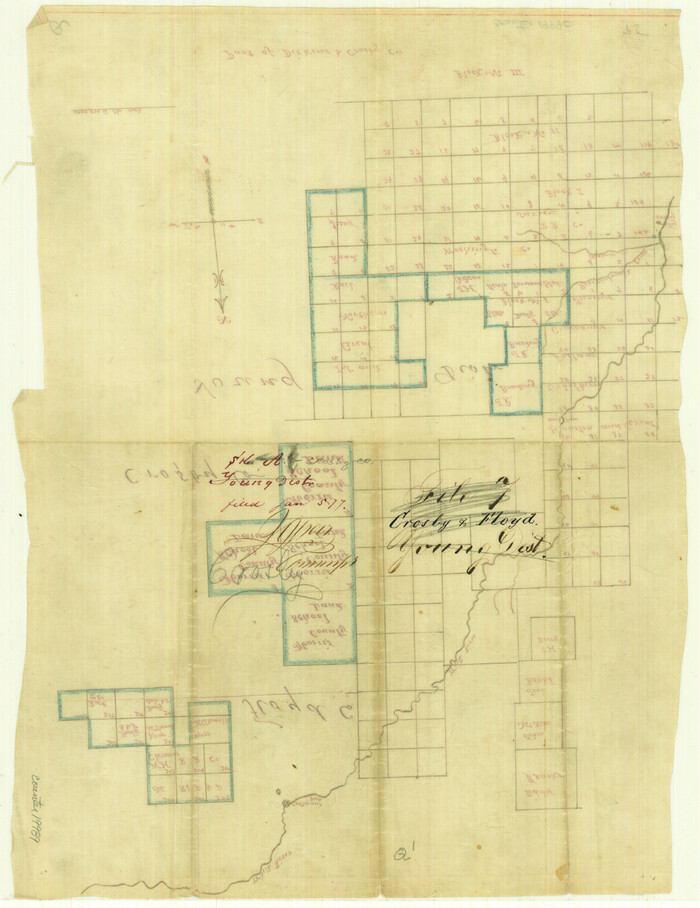

Print $6.00
- Digital $50.00
Crosby County Sketch File A
Size 15.2 x 11.7 inches
Map/Doc 19989
Pecos County Working Sketch 89.5
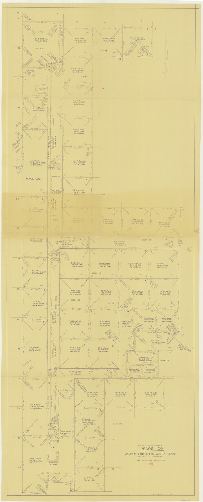

Print $40.00
- Digital $50.00
Pecos County Working Sketch 89.5
1965
Size 80.5 x 32.5 inches
Map/Doc 71561
You may also like
Flight Mission No. CUG-3P, Frame 42, Kleberg County
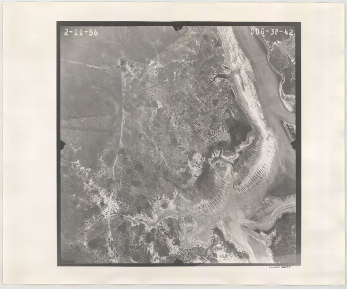

Print $20.00
- Digital $50.00
Flight Mission No. CUG-3P, Frame 42, Kleberg County
1956
Size 18.5 x 22.1 inches
Map/Doc 86247
Kinney County Sketch File 33
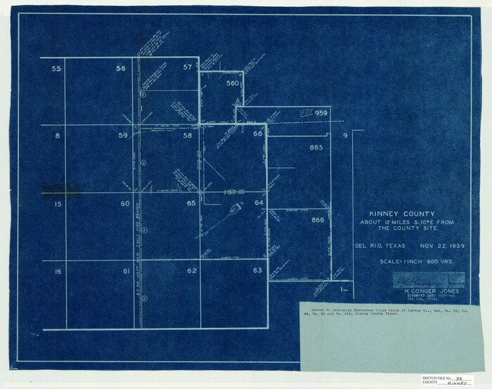

Print $20.00
- Digital $50.00
Kinney County Sketch File 33
1939
Size 18.1 x 22.8 inches
Map/Doc 11948
Trinity River, Barnes Bridge Sheet/East Fork of Trinity River


Print $4.00
- Digital $50.00
Trinity River, Barnes Bridge Sheet/East Fork of Trinity River
1936
Size 29.5 x 22.7 inches
Map/Doc 65192
Map of Henderson Co.
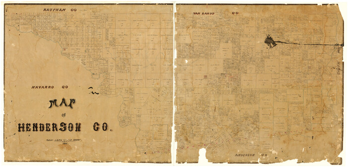

Print $40.00
- Digital $50.00
Map of Henderson Co.
1886
Size 27.8 x 57.6 inches
Map/Doc 3663
Comanche County Sketch File 11


Print $4.00
- Digital $50.00
Comanche County Sketch File 11
Size 8.6 x 15.3 inches
Map/Doc 19072
Hamilton County Working Sketch 13
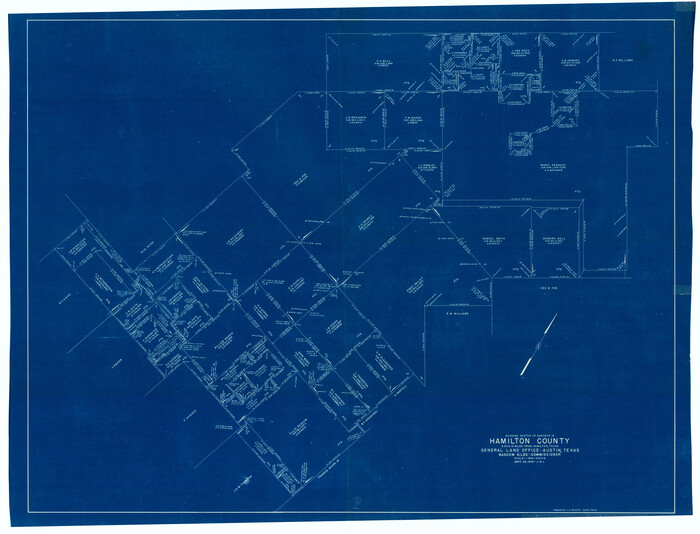

Print $40.00
- Digital $50.00
Hamilton County Working Sketch 13
1949
Size 43.5 x 57.0 inches
Map/Doc 63351
Sabine Bank to East Bay including Heald Bank
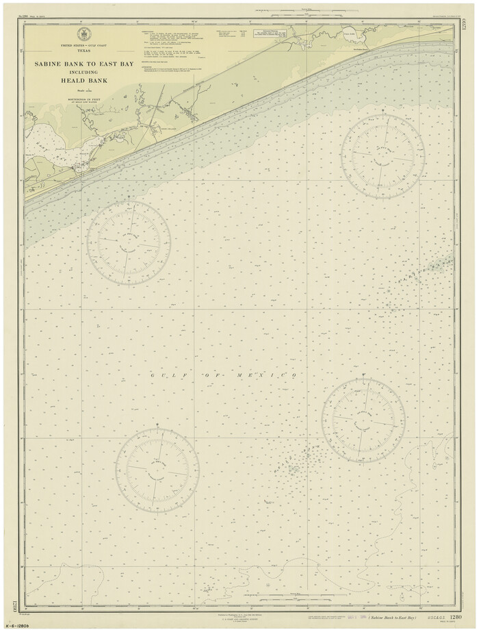

Print $20.00
- Digital $50.00
Sabine Bank to East Bay including Heald Bank
1946
Size 44.8 x 33.9 inches
Map/Doc 69845
Map of Abilene


Print $20.00
- Digital $50.00
Map of Abilene
1885
Size 24.6 x 27.4 inches
Map/Doc 3042
General Highway Map, Erath County, Texas


Print $20.00
General Highway Map, Erath County, Texas
1940
Size 24.7 x 18.4 inches
Map/Doc 79086
Zavala County Working Sketch 19


Print $40.00
- Digital $50.00
Zavala County Working Sketch 19
1978
Size 16.2 x 59.1 inches
Map/Doc 62094
Three-Way Consolidated County Line Independent School District, Bailey and Cochran Counties, Texas


Print $20.00
- Digital $50.00
Three-Way Consolidated County Line Independent School District, Bailey and Cochran Counties, Texas
Size 34.2 x 26.8 inches
Map/Doc 92527
Stieler Map of 1879
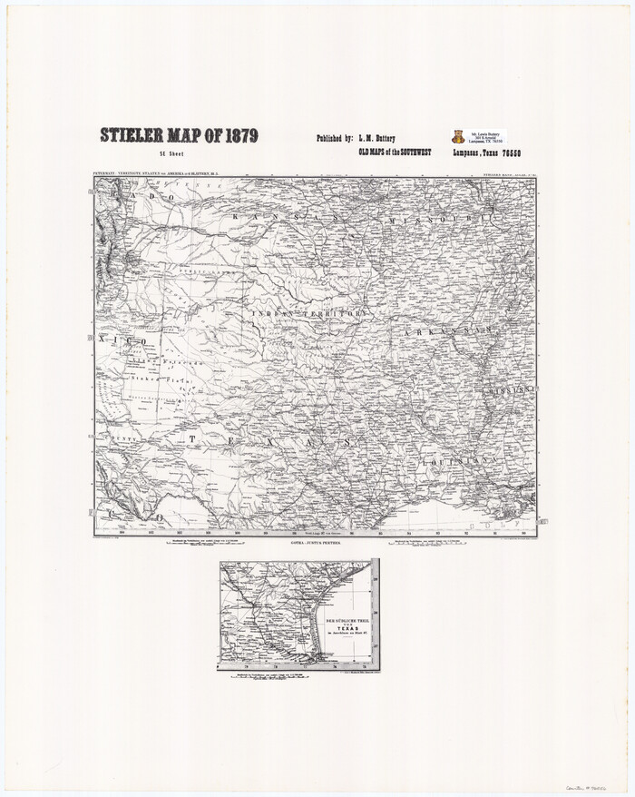

Print $4.00
- Digital $50.00
Stieler Map of 1879
1879
Size 28.8 x 23.0 inches
Map/Doc 76056
![[Map of Upshur County]](https://historictexasmaps.com/wmedia_w1800h1800/maps/4651.tif.jpg)
