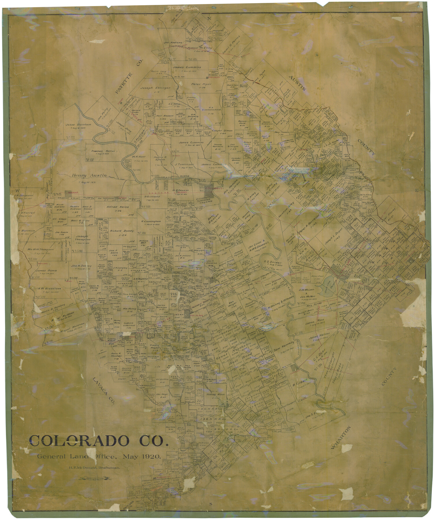
Colorado Co.
-
Map/Doc
4737
-
Collection
General Map Collection
-
Object Dates
5/1920 (Creation Date)
-
People and Organizations
H.F. McDonald (Draftsman)
-
Counties
Colorado
-
Subjects
County
-
Height x Width
48.4 x 40.2 inches
122.9 x 102.1 cm
-
Comments
Adopted with contributions from the 2007 State Employee Charitable Campaign (SECC).
-
Features
Rock Island
Millers Creek
Live Oak Creek
Slutter
Eagle Lake
SA&AP
Chesterville
Lissie
Altair
Skull Creek
Crasco Creek
Shinek
Navidad River
Cheetham
Oakland
Calhoun
Mathews
Sheridan
Garwood
Eldrige
Nada
Mustang Creek
North Sandies Creek
Golden Rod Creek
South Sandies Creek
Sandies Creek
Providence City
Prong of Golden Rod Creek
Mentz
Pisek
MK&T
New Ulm
Frelsburg
Ellinger
GH&SA
Cummings Creek
Little Bernard Creek
Redgates Creek
Lorine
Clear Creek
Rocky Creek
Knarf
Boggy Creek
Stuarts Creek
Bernardo
San Bernard River
Alleyton
Columbus
Colorado River
Glidden
Harveys Creek
Weimar
Borden
Caschata Creek
Ramsey
Prairie Creek
Part of: General Map Collection
Taylor County Boundary File 1

Print $44.00
- Digital $50.00
Taylor County Boundary File 1
Size 8.4 x 8.2 inches
Map/Doc 59184
Garza County Rolled Sketch 6A

Print $20.00
- Digital $50.00
Garza County Rolled Sketch 6A
1902
Size 29.2 x 35.9 inches
Map/Doc 9053
Crosby County Sketch File 4

Print $4.00
- Digital $50.00
Crosby County Sketch File 4
Size 8.6 x 12.6 inches
Map/Doc 20000
Marion County Rolled Sketch 2

Print $20.00
- Digital $50.00
Marion County Rolled Sketch 2
1954
Size 34.8 x 45.9 inches
Map/Doc 46621
Map of the Houston & Texas Centr. R.R. from Corsicana, Navarro County, to Dallas, Dallas County

Print $40.00
- Digital $50.00
Map of the Houston & Texas Centr. R.R. from Corsicana, Navarro County, to Dallas, Dallas County
Size 27.6 x 88.3 inches
Map/Doc 64041
Flight Mission No. DCL-7C, Frame 76, Kenedy County

Print $20.00
- Digital $50.00
Flight Mission No. DCL-7C, Frame 76, Kenedy County
1943
Size 15.4 x 15.1 inches
Map/Doc 86062
Flight Mission No. DIX-5P, Frame 139, Aransas County

Print $20.00
- Digital $50.00
Flight Mission No. DIX-5P, Frame 139, Aransas County
1956
Size 17.6 x 17.8 inches
Map/Doc 83800
Pecos County Rolled Sketch 168

Print $40.00
- Digital $50.00
Pecos County Rolled Sketch 168
Size 73.5 x 44.7 inches
Map/Doc 9748
Flight Mission No. CRC-5R, Frame 43, Chambers County

Print $20.00
- Digital $50.00
Flight Mission No. CRC-5R, Frame 43, Chambers County
1956
Size 18.6 x 22.3 inches
Map/Doc 84962
Lipscomb County Boundary File 14

Print $62.00
- Digital $50.00
Lipscomb County Boundary File 14
Size 13.3 x 8.8 inches
Map/Doc 56355
Andrews County Sketch File 8a

Print $8.00
- Digital $50.00
Andrews County Sketch File 8a
1943
Size 11.3 x 8.8 inches
Map/Doc 12849
Overlay For BRE-1P, Frame 153 of Refugio Scrip 1930, Nueces County

Print $20.00
- Digital $50.00
Overlay For BRE-1P, Frame 153 of Refugio Scrip 1930, Nueces County
1956
Size 18.8 x 22.6 inches
Map/Doc 86713
You may also like
General Highway Map, Cass County, Texas

Print $20.00
General Highway Map, Cass County, Texas
1940
Size 18.6 x 25.2 inches
Map/Doc 79042
Fort Bend County Sketch File 26

Print $46.00
- Digital $50.00
Fort Bend County Sketch File 26
Size 8.9 x 9.1 inches
Map/Doc 22956
Frio County Sketch File 5

Print $4.00
- Digital $50.00
Frio County Sketch File 5
1878
Size 7.9 x 11.2 inches
Map/Doc 23116
Flight Mission No. CRC-3R, Frame 37, Chambers County

Print $20.00
- Digital $50.00
Flight Mission No. CRC-3R, Frame 37, Chambers County
1956
Size 18.6 x 22.4 inches
Map/Doc 84810
Culberson County Sketch File 16

Print $20.00
- Digital $50.00
Culberson County Sketch File 16
Size 27.0 x 38.1 inches
Map/Doc 11268
Bosque County Sketch File 28

Print $6.00
- Digital $50.00
Bosque County Sketch File 28
1888
Size 7.3 x 10.3 inches
Map/Doc 14813
Montague County Boundary File 3

Print $42.00
- Digital $50.00
Montague County Boundary File 3
Size 9.0 x 13.6 inches
Map/Doc 57434
G. C. & S. F., Main Line, Texas, Right of Way map, Rio Vista to Crowley

Print $40.00
- Digital $50.00
G. C. & S. F., Main Line, Texas, Right of Way map, Rio Vista to Crowley
1916
Size 40.2 x 92.0 inches
Map/Doc 64654
Outer Continental Shelf Leasing Maps (Louisiana Offshore Operations)

Print $20.00
- Digital $50.00
Outer Continental Shelf Leasing Maps (Louisiana Offshore Operations)
1954
Size 15.8 x 10.0 inches
Map/Doc 76109
Denton County Sketch File 1

Print $2.00
- Digital $50.00
Denton County Sketch File 1
Size 8.4 x 10.6 inches
Map/Doc 20681
Nacogdoches County Working Sketch 11

Print $20.00
- Digital $50.00
Nacogdoches County Working Sketch 11
1985
Size 41.1 x 28.0 inches
Map/Doc 71227
Hutchinson County Working Sketch 8

Print $20.00
- Digital $50.00
Hutchinson County Working Sketch 8
1919
Size 24.8 x 16.7 inches
Map/Doc 66366