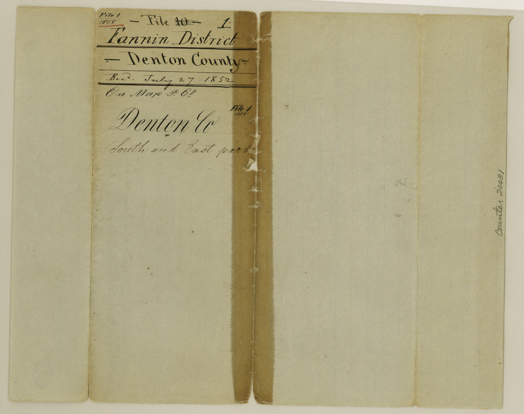
Denton County Sketch File 1
[Jacket only]
-
Map/Doc
20681
-
Collection
General Map Collection
-
Object Dates
1852/7/27 (File Date)
-
Counties
Denton
-
Subjects
Surveying Sketch File
-
Height x Width
8.4 x 10.6 inches
21.3 x 26.9 cm
-
Medium
paper, manuscript
Part of: General Map Collection
Lee County Boundary File 2

Print $25.00
- Digital $50.00
Lee County Boundary File 2
Size 14.2 x 8.6 inches
Map/Doc 56269
Clay County Sketch File 35

Print $3.00
- Digital $50.00
Clay County Sketch File 35
Size 10.3 x 12.1 inches
Map/Doc 18463
Lavaca County Working Sketch 18

Print $20.00
- Digital $50.00
Lavaca County Working Sketch 18
1979
Size 37.0 x 20.3 inches
Map/Doc 70371
Travis County Rolled Sketch 4

Print $20.00
- Digital $50.00
Travis County Rolled Sketch 4
1915
Size 19.7 x 35.6 inches
Map/Doc 8010
Duval County Sketch File 51

Print $20.00
- Digital $50.00
Duval County Sketch File 51
Size 19.1 x 33.8 inches
Map/Doc 11401
Ft. Worth & Rio Grande Ry. west from Whiteland in McCulloch County

Print $20.00
- Digital $50.00
Ft. Worth & Rio Grande Ry. west from Whiteland in McCulloch County
Size 35.0 x 46.3 inches
Map/Doc 66908
Texas Hill Country Trail Region

Texas Hill Country Trail Region
2017
Size 18.2 x 24.3 inches
Map/Doc 96871
Hutchinson County Sketch File 9

Print $4.00
- Digital $50.00
Hutchinson County Sketch File 9
1900
Size 12.7 x 9.2 inches
Map/Doc 27209
Bell County Working Sketch 2

Print $20.00
- Digital $50.00
Bell County Working Sketch 2
1938
Size 25.8 x 28.8 inches
Map/Doc 67342
Eastland County Sketch File 1

Print $8.00
- Digital $50.00
Eastland County Sketch File 1
Size 9.0 x 7.9 inches
Map/Doc 21555
Rockport Quadrangle

Print $20.00
- Digital $50.00
Rockport Quadrangle
1954
Size 21.3 x 18.3 inches
Map/Doc 73435
DeWitt County Rolled Sketch 2

Print $20.00
- Digital $50.00
DeWitt County Rolled Sketch 2
1943
Size 32.0 x 42.7 inches
Map/Doc 8778
You may also like
Shackelford County

Print $20.00
- Digital $50.00
Shackelford County
1972
Size 41.1 x 35.0 inches
Map/Doc 77420
[Sketch Between Hemphill County and Oklahoma]
![89635, [Sketch Between Hemphill County and Oklahoma], Twichell Survey Records](https://historictexasmaps.com/wmedia_w700/maps/89635-1.tif.jpg)
Print $40.00
- Digital $50.00
[Sketch Between Hemphill County and Oklahoma]
Size 62.0 x 8.0 inches
Map/Doc 89635
Edwards County Rolled Sketch 27

Print $20.00
- Digital $50.00
Edwards County Rolled Sketch 27
1959
Size 18.0 x 33.2 inches
Map/Doc 5813
Presidio County Rolled Sketch 123

Print $40.00
- Digital $50.00
Presidio County Rolled Sketch 123
Size 49.3 x 38.2 inches
Map/Doc 9798
Hudspeth County Sketch File 22

Print $10.00
- Digital $50.00
Hudspeth County Sketch File 22
1935
Size 11.2 x 8.7 inches
Map/Doc 26974
Harris County Sketch File 21

Print $4.00
- Digital $50.00
Harris County Sketch File 21
1862
Size 13.1 x 8.2 inches
Map/Doc 25373
Galveston to Rio Grande

Print $20.00
- Digital $50.00
Galveston to Rio Grande
1939
Size 43.3 x 36.3 inches
Map/Doc 69951
Trinity County

Print $20.00
- Digital $50.00
Trinity County
1946
Size 42.7 x 43.2 inches
Map/Doc 95656
DeWitt Empresario Colony. April 15, 1825

Print $20.00
DeWitt Empresario Colony. April 15, 1825
2020
Size 18.1 x 21.7 inches
Map/Doc 95991
Travis County Sketch File 51

Print $8.00
- Digital $50.00
Travis County Sketch File 51
1941
Size 14.3 x 8.9 inches
Map/Doc 38387
Map of Tom Green County

Print $40.00
- Digital $50.00
Map of Tom Green County
1892
Size 42.9 x 48.2 inches
Map/Doc 63069
[Sections 58-63, I. & G. N. Block 1 and adjacent area to the west]
![91641, [Sections 58-63, I. & G. N. Block 1 and adjacent area to the west], Twichell Survey Records](https://historictexasmaps.com/wmedia_w700/maps/91641-1.tif.jpg)
Print $20.00
- Digital $50.00
[Sections 58-63, I. & G. N. Block 1 and adjacent area to the west]
Size 22.6 x 14.8 inches
Map/Doc 91641