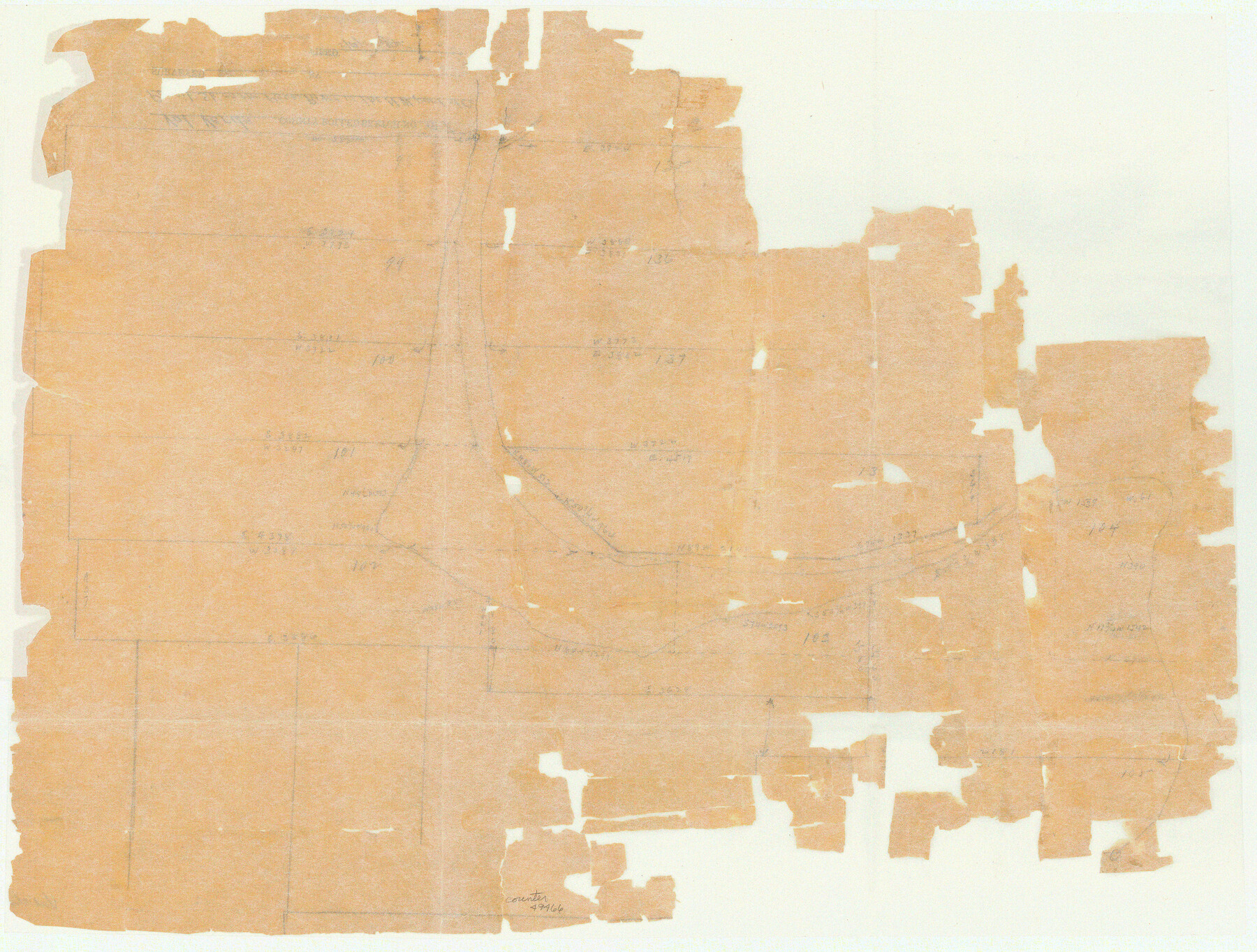
Val Verde County Rolled Sketch 47
[Sketch of surveys on Pecos River]
-
Map/Doc
49466
-
Collection
General Map Collection
-
Counties
Val Verde
-
Subjects
Surveying Rolled Sketch
-
Height x Width
17.4 x 23.0 inches
44.2 x 58.4 cm
-
Medium
paper, manuscript
Part of: General Map Collection
Hemphill County Rolled Sketch 15B

Print $20.00
- Digital $50.00
Hemphill County Rolled Sketch 15B
1961
Size 26.7 x 17.0 inches
Map/Doc 6196
Presidio County Working Sketch 22

Print $20.00
- Digital $50.00
Presidio County Working Sketch 22
1945
Size 31.7 x 21.9 inches
Map/Doc 71698
Tarrant County Sketch File 35

Print $50.00
Tarrant County Sketch File 35
2018
Size 11.0 x 8.5 inches
Map/Doc 95394
Flight Mission No. BRA-8M, Frame 113, Jefferson County

Print $20.00
- Digital $50.00
Flight Mission No. BRA-8M, Frame 113, Jefferson County
1953
Size 18.6 x 22.3 inches
Map/Doc 85609
Brewster County Rolled Sketch 101

Print $40.00
- Digital $50.00
Brewster County Rolled Sketch 101
1927
Size 73.5 x 42.3 inches
Map/Doc 9194
Brewster County Rolled Sketch 93

Print $20.00
- Digital $50.00
Brewster County Rolled Sketch 93
1935
Size 24.1 x 43.1 inches
Map/Doc 5251
Map of Asylum Lands

Print $20.00
- Digital $50.00
Map of Asylum Lands
1857
Size 22.0 x 29.1 inches
Map/Doc 2214
Tyler County Sketch File 17a

Print $4.00
- Digital $50.00
Tyler County Sketch File 17a
1853
Size 6.6 x 8.0 inches
Map/Doc 38664
Chambers County Sketch File B

Print $2.00
- Digital $50.00
Chambers County Sketch File B
1907
Size 7.2 x 8.5 inches
Map/Doc 17515
Crockett County Working Sketch 15

Print $20.00
- Digital $50.00
Crockett County Working Sketch 15
1916
Size 16.2 x 20.4 inches
Map/Doc 68348
La Salle County Rolled Sketch 2

Print $20.00
- Digital $50.00
La Salle County Rolled Sketch 2
1915
Size 25.2 x 23.2 inches
Map/Doc 6567
Flight Mission No. DIX-7P, Frame 89, Aransas County

Print $20.00
- Digital $50.00
Flight Mission No. DIX-7P, Frame 89, Aransas County
1956
Size 18.7 x 22.4 inches
Map/Doc 83883
You may also like
Controlled Mosaic by Jack Amman Photogrammetric Engineers, Inc - Sheet 15

Print $20.00
- Digital $50.00
Controlled Mosaic by Jack Amman Photogrammetric Engineers, Inc - Sheet 15
1954
Size 20.0 x 24.0 inches
Map/Doc 83459
Sketch showing Mineral Leases in Nueces Bay

Print $20.00
- Digital $50.00
Sketch showing Mineral Leases in Nueces Bay
1942
Size 14.3 x 24.3 inches
Map/Doc 3019
Leon County Sketch File 28

Print $8.00
- Digital $50.00
Leon County Sketch File 28
1951
Size 11.2 x 8.7 inches
Map/Doc 29821
[G. H. & H. Block 2]
![90714, [G. H. & H. Block 2], Twichell Survey Records](https://historictexasmaps.com/wmedia_w700/maps/90714-1.tif.jpg)
Print $20.00
- Digital $50.00
[G. H. & H. Block 2]
Size 24.1 x 18.5 inches
Map/Doc 90714
Flight Mission No. CRC-4R, Frame 181, Chambers County

Print $20.00
- Digital $50.00
Flight Mission No. CRC-4R, Frame 181, Chambers County
1956
Size 18.5 x 22.2 inches
Map/Doc 84932
Amistad International Reservoir on Rio Grande 81

Print $20.00
- Digital $50.00
Amistad International Reservoir on Rio Grande 81
1949
Size 28.6 x 40.2 inches
Map/Doc 75510
Galveston County NRC Article 33.136 Sketch 73

Print $28.00
- Digital $50.00
Galveston County NRC Article 33.136 Sketch 73
2013
Size 31.7 x 24.0 inches
Map/Doc 94995
Liberty County Working Sketch 87

Print $20.00
- Digital $50.00
Liberty County Working Sketch 87
1989
Size 37.4 x 32.5 inches
Map/Doc 70547
Ward County Working Sketch 17

Print $20.00
- Digital $50.00
Ward County Working Sketch 17
1948
Size 30.1 x 32.5 inches
Map/Doc 72323
San Augustine County Working Sketch 17

Print $20.00
- Digital $50.00
San Augustine County Working Sketch 17
1963
Size 20.3 x 21.5 inches
Map/Doc 63705
Cass County Working Sketch Graphic Index

Print $20.00
- Digital $50.00
Cass County Working Sketch Graphic Index
1947
Size 39.1 x 41.9 inches
Map/Doc 76489
Upton County Working Sketch 54

Print $20.00
- Digital $50.00
Upton County Working Sketch 54
1983
Size 23.2 x 37.7 inches
Map/Doc 69551