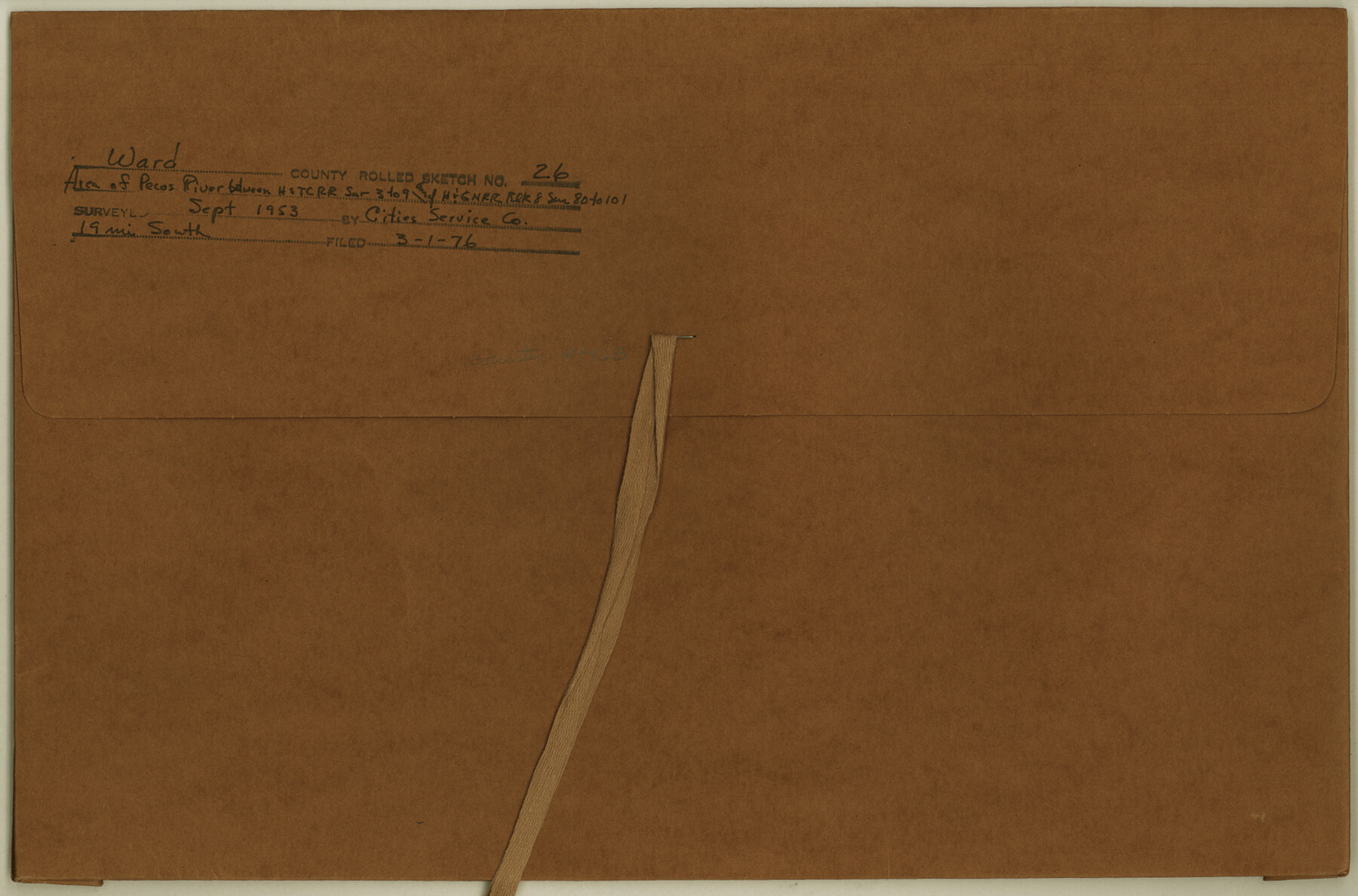
Ward County Rolled Sketch 26
[Area of Pecos River between H. & T. C. R.R. sur. 3 to 9 and H. & G. N. R.R. Blk. 8 sur. 80 to 101]
-
Map/Doc
49468
-
Collection
General Map Collection
-
Object Dates
1953 (Survey Date)
1976/3/1 (File Date)
-
Counties
Ward Reeves
-
Subjects
Surveying Rolled Sketch
-
Height x Width
9.9 x 15.0 inches
25.1 x 38.1 cm
-
Medium
photostat
Part of: General Map Collection
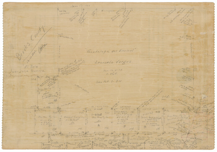
Brooks County Rolled Sketch 18

Print $20.00
- Digital $50.00
Brooks County Rolled Sketch 18
Size 11.3 x 16.1 inches
Map/Doc 61786
Franklin County Sketch File 5


Print $2.00
- Digital $50.00
Franklin County Sketch File 5
Size 8.2 x 10.7 inches
Map/Doc 23017
Map of Young County


Print $20.00
- Digital $50.00
Map of Young County
1880
Size 22.0 x 20.3 inches
Map/Doc 4174
Pecos County Sketch File 48


Print $4.00
- Digital $50.00
Pecos County Sketch File 48
1935
Size 14.3 x 8.8 inches
Map/Doc 33762
Colorado County Working Sketch 23


Print $20.00
- Digital $50.00
Colorado County Working Sketch 23
1967
Size 38.0 x 32.9 inches
Map/Doc 68123
Collin County Rolled Sketch 1


Print $20.00
- Digital $50.00
Collin County Rolled Sketch 1
1953
Size 34.9 x 35.6 inches
Map/Doc 8635
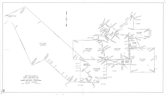
San Jacinto County Working Sketch 36

Print $40.00
- Digital $50.00
San Jacinto County Working Sketch 36
1964
Size 33.0 x 57.2 inches
Map/Doc 63749
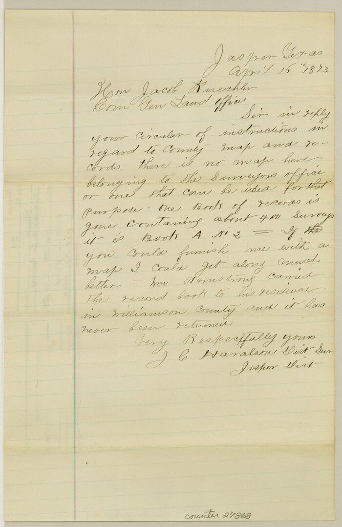
Jasper County Sketch File 34

Print $4.00
- Digital $50.00
Jasper County Sketch File 34
1873
Size 12.4 x 8.1 inches
Map/Doc 27868
Flight Mission No. DIX-10P, Frame 69, Aransas County
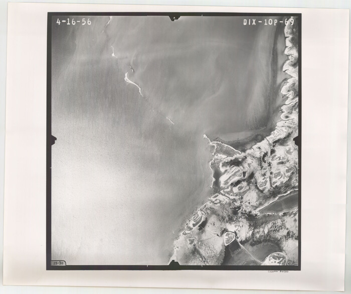

Print $20.00
- Digital $50.00
Flight Mission No. DIX-10P, Frame 69, Aransas County
1956
Size 18.8 x 22.4 inches
Map/Doc 83930
Flight Mission No. BRE-1P, Frame 9, Nueces County
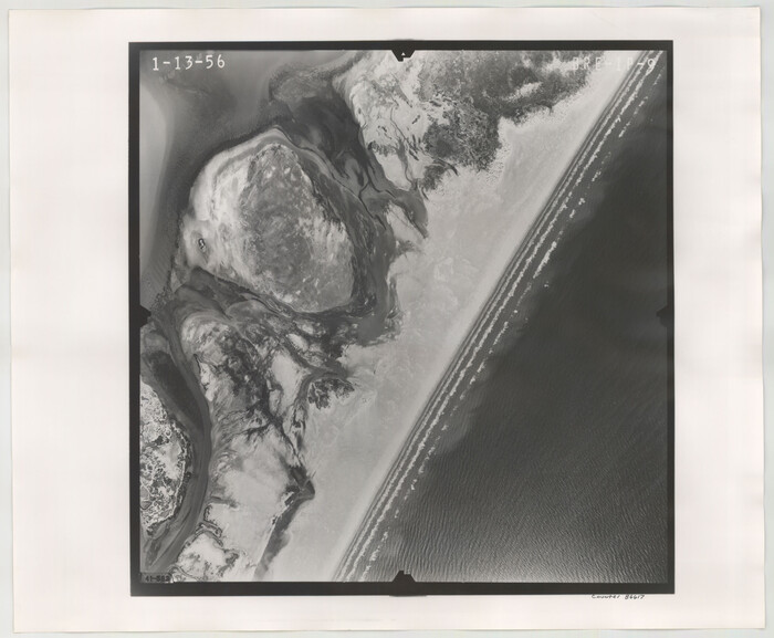

Print $20.00
- Digital $50.00
Flight Mission No. BRE-1P, Frame 9, Nueces County
1956
Size 18.5 x 22.4 inches
Map/Doc 86617
Travis County Sketch File 67


Print $10.00
- Digital $50.00
Travis County Sketch File 67
1951
Size 14.3 x 9.0 inches
Map/Doc 38446
Coast Chart No. 210 Aransas Pass and Corpus Christi Bay with the coast to latitude 27° 12' Texas
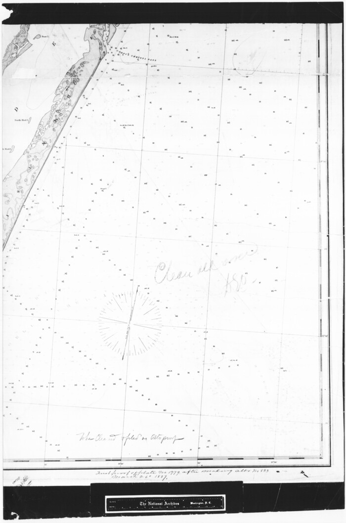

Print $20.00
- Digital $50.00
Coast Chart No. 210 Aransas Pass and Corpus Christi Bay with the coast to latitude 27° 12' Texas
1887
Size 27.5 x 18.2 inches
Map/Doc 72812
You may also like
Flight Mission No. BQY-4M, Frame 58, Harris County
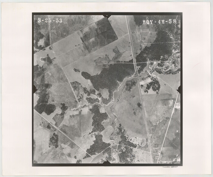

Print $20.00
- Digital $50.00
Flight Mission No. BQY-4M, Frame 58, Harris County
1953
Size 18.5 x 22.3 inches
Map/Doc 85267
Frio County Working Sketch 25


Print $40.00
- Digital $50.00
Frio County Working Sketch 25
1989
Size 35.4 x 50.0 inches
Map/Doc 69299
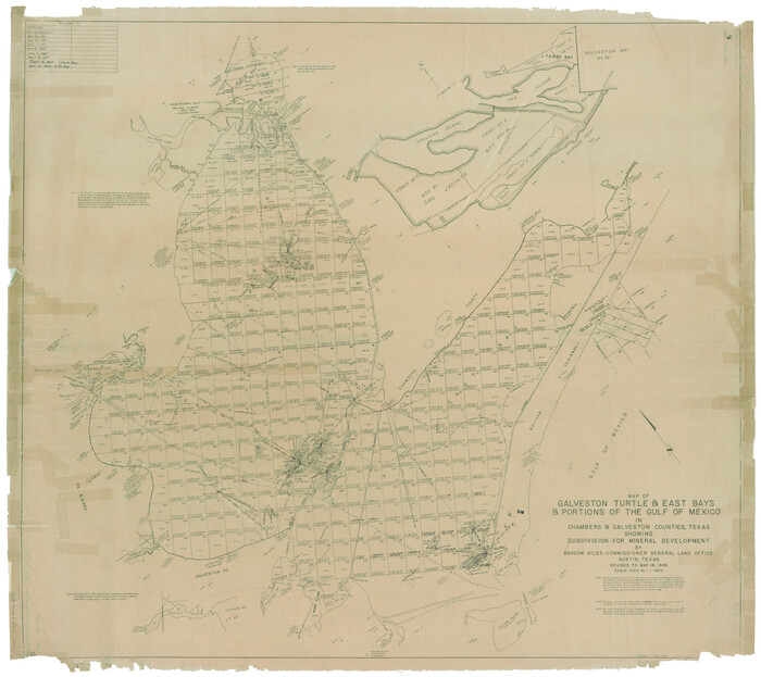
Map of Galveston, Turtle & East Bays & portions of the Gulf of Mexico in Chambers & Galveston Counties, Texas showing subdivision for mineral development

Print $40.00
- Digital $50.00
Map of Galveston, Turtle & East Bays & portions of the Gulf of Mexico in Chambers & Galveston Counties, Texas showing subdivision for mineral development
Size 50.0 x 55.2 inches
Map/Doc 65807
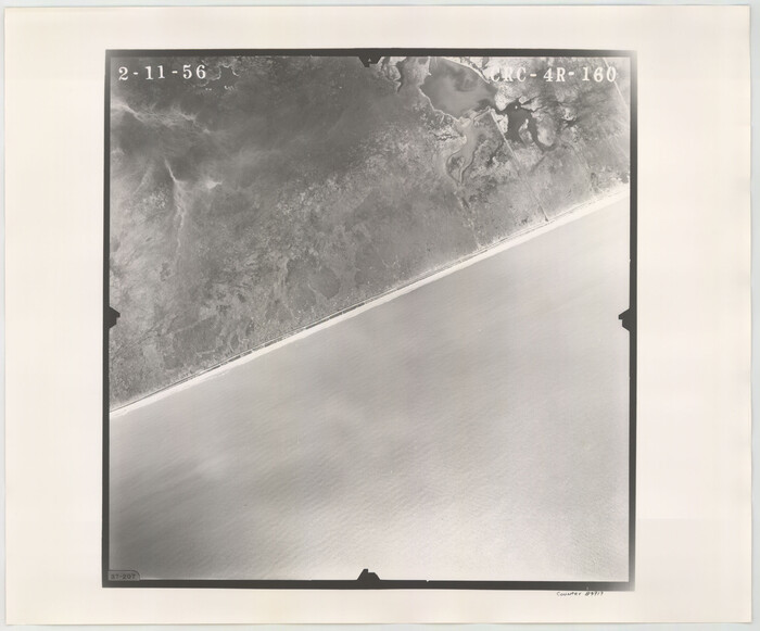
Flight Mission No. CRC-4R, Frame 160, Chambers County

Print $20.00
- Digital $50.00
Flight Mission No. CRC-4R, Frame 160, Chambers County
1956
Size 18.5 x 22.3 inches
Map/Doc 84919
Texas State Boundary Line 8


Print $170.00
Texas State Boundary Line 8
2000
Size 11.3 x 8.8 inches
Map/Doc 75054
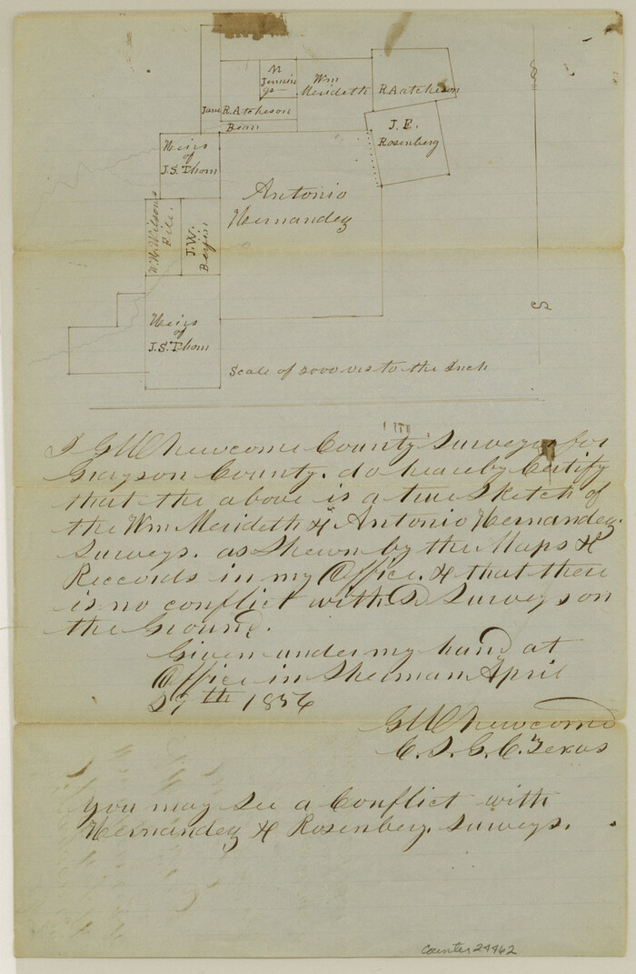
Grayson County Sketch File 4

Print $4.00
- Digital $50.00
Grayson County Sketch File 4
1856
Size 12.5 x 8.2 inches
Map/Doc 24462
Map of Harrison County, Texas


Print $20.00
- Digital $50.00
Map of Harrison County, Texas
1879
Size 20.2 x 21.9 inches
Map/Doc 375
The Republic County of Austin. February 5, 1840


Print $20.00
The Republic County of Austin. February 5, 1840
2020
Size 14.7 x 21.7 inches
Map/Doc 96084
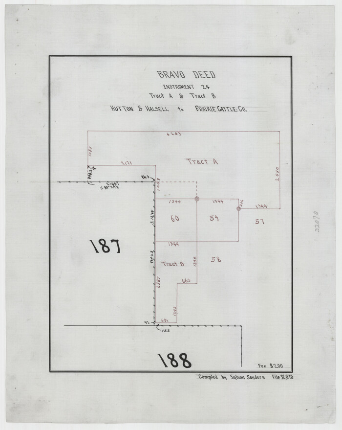
Bravo Deed, Instrument 24, Tract A and Tract B

Print $3.00
- Digital $50.00
Bravo Deed, Instrument 24, Tract A and Tract B
Size 11.4 x 14.2 inches
Map/Doc 91479
The Mexican Municipality of Sabine. Created, December 15, 1835


Print $20.00
The Mexican Municipality of Sabine. Created, December 15, 1835
2020
Size 22.7 x 21.7 inches
Map/Doc 96031
Wichita County Working Sketch 24
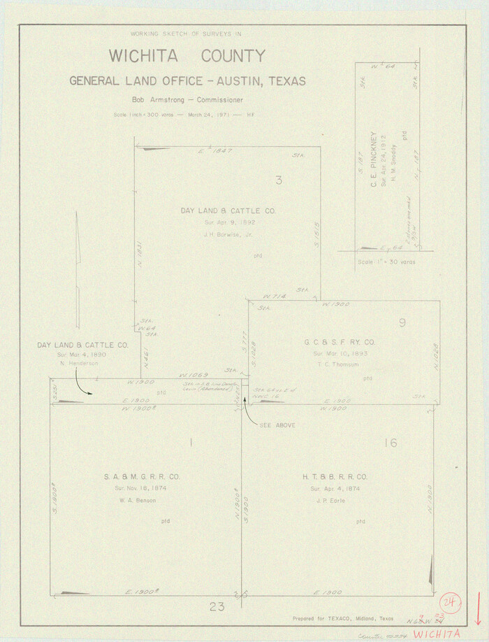

Print $20.00
- Digital $50.00
Wichita County Working Sketch 24
1971
Size 21.2 x 16.2 inches
Map/Doc 72534
