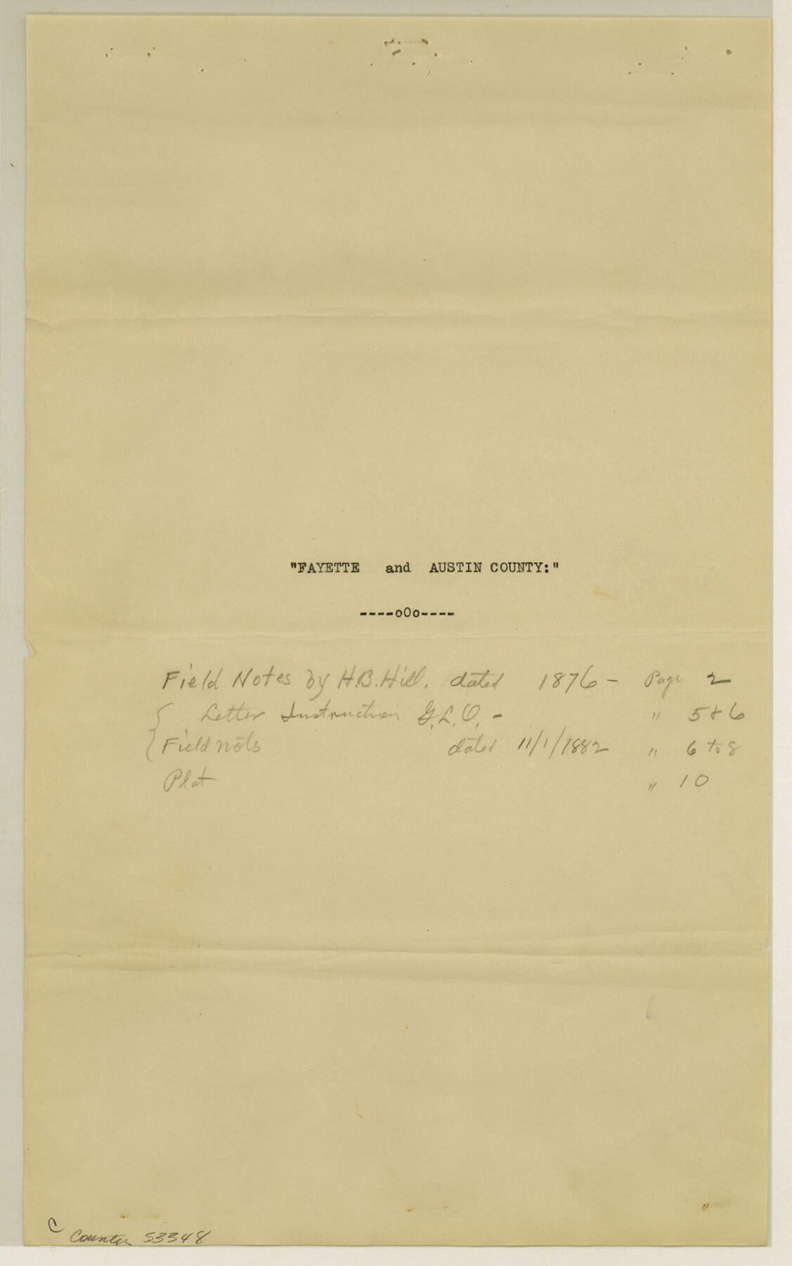
Fayette County Boundary File 3
County Line Fayette and Austin Counties
-
Map/Doc
53348
-
Collection
General Map Collection
-
Counties
Fayette
-
Subjects
County Boundaries
-
Height x Width
14.4 x 9.0 inches
36.6 x 22.9 cm
Part of: General Map Collection
Motley County Boundary File 2

Print $10.00
- Digital $50.00
Motley County Boundary File 2
Size 7.1 x 4.3 inches
Map/Doc 57506
Eastland County Working Sketch 21

Print $20.00
- Digital $50.00
Eastland County Working Sketch 21
1920
Size 15.4 x 22.7 inches
Map/Doc 68802
Texas Coordinate File 1

Print $4.00
- Digital $50.00
Texas Coordinate File 1
Size 11.4 x 8.7 inches
Map/Doc 75301
Oldham County Sketch File 13

Print $40.00
- Digital $50.00
Oldham County Sketch File 13
1902
Size 14.3 x 12.3 inches
Map/Doc 33260
Flight Mission No. DAG-17K, Frame 138, Matagorda County

Print $20.00
- Digital $50.00
Flight Mission No. DAG-17K, Frame 138, Matagorda County
1952
Size 18.5 x 22.2 inches
Map/Doc 86355
San Jacinto County Sketch File 14

Print $20.00
San Jacinto County Sketch File 14
Size 15.8 x 18.2 inches
Map/Doc 12281
Crockett County Working Sketch 70

Print $40.00
- Digital $50.00
Crockett County Working Sketch 70
1963
Size 23.7 x 49.5 inches
Map/Doc 68403
Map of Reeves County

Print $20.00
- Digital $50.00
Map of Reeves County
1892
Size 44.8 x 34.0 inches
Map/Doc 3983
Nueces County Sketch File 16

Print $6.00
- Digital $50.00
Nueces County Sketch File 16
1875
Size 15.5 x 10.7 inches
Map/Doc 32547
Travis County Rolled Sketch 3

Print $40.00
- Digital $50.00
Travis County Rolled Sketch 3
1902
Size 37.2 x 48.0 inches
Map/Doc 10009
Roberts County Sketch File 8

Print $6.00
- Digital $50.00
Roberts County Sketch File 8
1992
Size 14.3 x 8.8 inches
Map/Doc 35324
Map of France, Spain, Portugal and Italy engraved to illustrate Mitchell's school and family geography (Inset: Greece and the Ionian Islands)

Print $20.00
- Digital $50.00
Map of France, Spain, Portugal and Italy engraved to illustrate Mitchell's school and family geography (Inset: Greece and the Ionian Islands)
1846
Size 9.5 x 11.8 inches
Map/Doc 93505
You may also like
Morris County Rolled Sketch 2A

Print $20.00
- Digital $50.00
Morris County Rolled Sketch 2A
Size 24.0 x 18.8 inches
Map/Doc 10228
Llano County Working Sketch 6

Print $20.00
- Digital $50.00
Llano County Working Sketch 6
1961
Size 15.8 x 20.8 inches
Map/Doc 70624
Houston Ship Channel, Atkinson Island to Alexander Island

Print $40.00
- Digital $50.00
Houston Ship Channel, Atkinson Island to Alexander Island
1972
Size 36.9 x 50.0 inches
Map/Doc 69901
Frio County Sketch File 18

Print $8.00
- Digital $50.00
Frio County Sketch File 18
1961
Size 14.3 x 8.9 inches
Map/Doc 23155
Jackson County Rolled Sketch 2

Print $20.00
- Digital $50.00
Jackson County Rolled Sketch 2
Size 14.1 x 17.9 inches
Map/Doc 6335
Supreme Court of the United States, October Term, 1923, No. 15, Original - The State of Oklahoma, Complainant vs. The State of Texas, Defendant, The United States, Intervener; Report of the Boundary Commissioners

Print $20.00
- Digital $50.00
Supreme Court of the United States, October Term, 1923, No. 15, Original - The State of Oklahoma, Complainant vs. The State of Texas, Defendant, The United States, Intervener; Report of the Boundary Commissioners
1923
Size 35.1 x 41.1 inches
Map/Doc 82996
Harris County Working Sketch 98

Print $20.00
- Digital $50.00
Harris County Working Sketch 98
1979
Size 44.2 x 28.4 inches
Map/Doc 65990
Flight Mission No. CUG-3P, Frame 16, Kleberg County

Print $20.00
- Digital $50.00
Flight Mission No. CUG-3P, Frame 16, Kleberg County
1956
Size 18.3 x 22.2 inches
Map/Doc 86226
Jefferson County Rolled Sketch 19

Print $90.00
- Digital $50.00
Jefferson County Rolled Sketch 19
1931
Size 19.1 x 72.7 inches
Map/Doc 9283
Map of Childress, Childress County, Texas on the Line of the Fort Worth and Denver City Railway, Texas Pan-Handle Route

Print $20.00
- Digital $50.00
Map of Childress, Childress County, Texas on the Line of the Fort Worth and Denver City Railway, Texas Pan-Handle Route
1888
Size 35.6 x 28.0 inches
Map/Doc 7691
Cherokee County Rolled Sketch 3

Print $40.00
- Digital $50.00
Cherokee County Rolled Sketch 3
1955
Size 55.5 x 35.2 inches
Map/Doc 8597
[Tex Mex & CCSDRG&G Railroad Blocks in Starr and Hidalgo Counties, Texas]
![4452, [Tex Mex & CCSDRG&G Railroad Blocks in Starr and Hidalgo Counties, Texas], Maddox Collection](https://historictexasmaps.com/wmedia_w700/maps/4452-1.tif.jpg)
Print $20.00
- Digital $50.00
[Tex Mex & CCSDRG&G Railroad Blocks in Starr and Hidalgo Counties, Texas]
1906
Size 28.7 x 24.2 inches
Map/Doc 4452