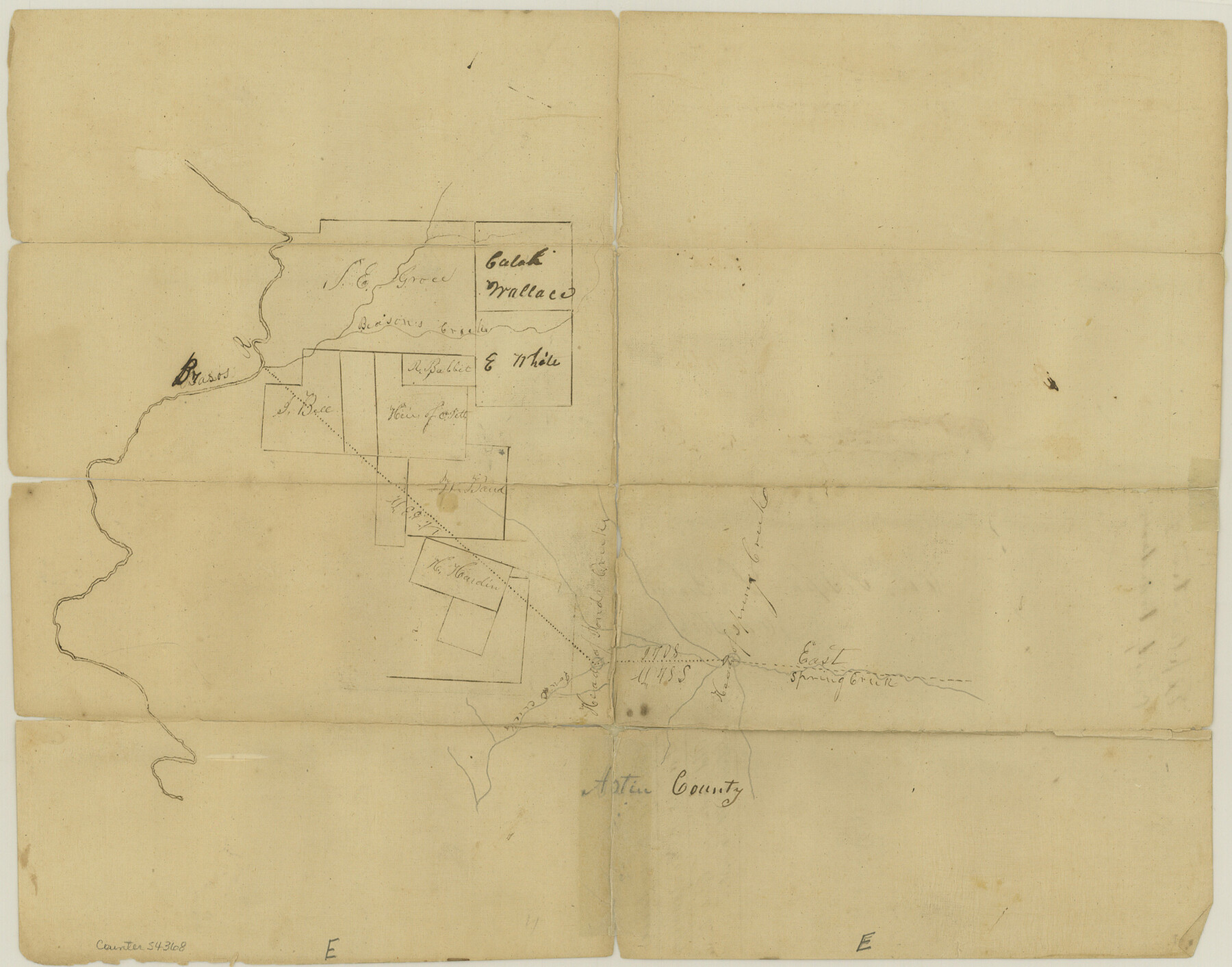
Harris County Boundary File 39 (22)
County Boundaries - Harris and Montgomery
-
Map/Doc
54368
-
Collection
General Map Collection
-
Counties
Harris
-
Subjects
County Boundaries
-
Height x Width
12.6 x 16.1 inches
32.0 x 40.9 cm
Part of: General Map Collection
Maps of Gulf Intracoastal Waterway, Texas - Sabine River to the Rio Grande and connecting waterways including ship channels

Print $20.00
- Digital $50.00
Maps of Gulf Intracoastal Waterway, Texas - Sabine River to the Rio Grande and connecting waterways including ship channels
1966
Size 14.5 x 22.3 inches
Map/Doc 61936
Bowie County Sketch File 7b

Print $10.00
- Digital $50.00
Bowie County Sketch File 7b
1927
Size 10.7 x 8.6 inches
Map/Doc 14859
Pecos County Rolled Sketch 69

Print $20.00
- Digital $50.00
Pecos County Rolled Sketch 69
Size 37.9 x 33.8 inches
Map/Doc 9701
El Paso County Boundary File 2

Print $28.00
- Digital $50.00
El Paso County Boundary File 2
Size 13.2 x 8.2 inches
Map/Doc 53021
Upshur County Sketch File 16

Print $20.00
- Digital $50.00
Upshur County Sketch File 16
1873
Size 19.1 x 28.0 inches
Map/Doc 12506
Val Verde County Sketch File 22

Print $20.00
- Digital $50.00
Val Verde County Sketch File 22
Size 14.3 x 22.3 inches
Map/Doc 12571
Descripçion de las Yndias del Norte

Print $20.00
- Digital $50.00
Descripçion de las Yndias del Norte
1601
Size 11.4 x 13.9 inches
Map/Doc 94850
Map of Armstrong County

Print $20.00
- Digital $50.00
Map of Armstrong County
1886
Size 23.0 x 18.6 inches
Map/Doc 3244
Brewster County Rolled Sketch 93

Print $20.00
- Digital $50.00
Brewster County Rolled Sketch 93
1935
Size 24.1 x 43.1 inches
Map/Doc 5251
PSL Field Notes for Blocks C1, C2, and C3 in Pecos and Reeves Counties

PSL Field Notes for Blocks C1, C2, and C3 in Pecos and Reeves Counties
Map/Doc 81669
Montague County Sketch File 2

Print $24.00
- Digital $50.00
Montague County Sketch File 2
1856
Size 12.0 x 8.5 inches
Map/Doc 31711
Bosque County Working Sketch 22

Print $40.00
- Digital $50.00
Bosque County Working Sketch 22
1984
Size 38.2 x 54.9 inches
Map/Doc 67455
You may also like
Flight Mission No. CUG-3P, Frame 11, Kleberg County

Print $20.00
- Digital $50.00
Flight Mission No. CUG-3P, Frame 11, Kleberg County
1956
Size 18.5 x 22.2 inches
Map/Doc 86221
Atascosa County Sketch File 28

Print $40.00
- Digital $50.00
Atascosa County Sketch File 28
1878
Size 27.9 x 21.7 inches
Map/Doc 10862
Flight Mission No. BQY-15M, Frame 3, Harris County

Print $20.00
- Digital $50.00
Flight Mission No. BQY-15M, Frame 3, Harris County
1953
Size 18.7 x 22.5 inches
Map/Doc 85301
40 Acre Lease Units Anton Townsite Hockley County, Texas

Print $20.00
- Digital $50.00
40 Acre Lease Units Anton Townsite Hockley County, Texas
Size 17.1 x 18.5 inches
Map/Doc 92248
Cooke County Sketch File 4

Print $6.00
- Digital $50.00
Cooke County Sketch File 4
1856
Size 6.6 x 5.4 inches
Map/Doc 19223
Presidio County Working Sketch 126

Print $20.00
- Digital $50.00
Presidio County Working Sketch 126
1987
Size 36.9 x 46.5 inches
Map/Doc 71804
Smith County Sketch File 8

Print $4.00
- Digital $50.00
Smith County Sketch File 8
1848
Size 12.8 x 8.1 inches
Map/Doc 36761
Right of Way and Track Map, the Missouri, Kansas & Texas Ry. Of Texas operated by the Missouri, Kansas & Texas Ry. Of Texas, Houston Division

Print $40.00
- Digital $50.00
Right of Way and Track Map, the Missouri, Kansas & Texas Ry. Of Texas operated by the Missouri, Kansas & Texas Ry. Of Texas, Houston Division
1918
Size 25.6 x 62.5 inches
Map/Doc 64786
Pecos County Rolled Sketch 42

Print $20.00
- Digital $50.00
Pecos County Rolled Sketch 42
1909
Size 19.6 x 41.0 inches
Map/Doc 7220
San Augustine County Working Sketch 21

Print $40.00
- Digital $50.00
San Augustine County Working Sketch 21
1973
Size 56.1 x 47.4 inches
Map/Doc 63709
Dickens County Working Sketch 5b

Print $40.00
- Digital $50.00
Dickens County Working Sketch 5b
1917
Size 59.4 x 43.3 inches
Map/Doc 68653
Duval County Working Sketch 5

Print $40.00
- Digital $50.00
Duval County Working Sketch 5
1933
Size 43.2 x 54.2 inches
Map/Doc 68718