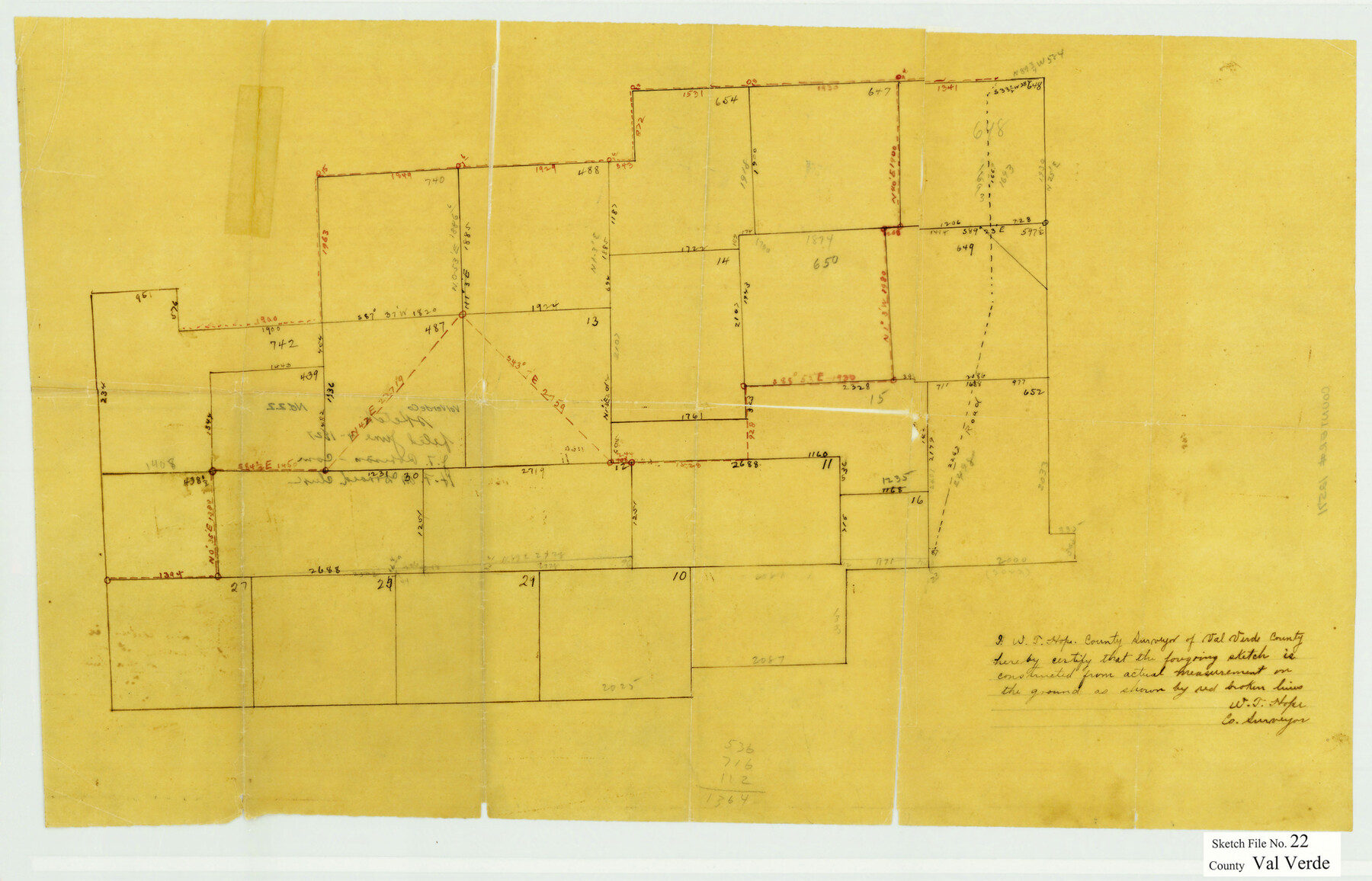
Val Verde County Sketch File 22
[Sketch of surveys northeast from Del Rio]
-
Map/Doc
12571
-
Collection
General Map Collection
-
Object Dates
6/4/1927 (File Date)
-
People and Organizations
W.T. Hope (Surveyor/Engineer)
-
Counties
Val Verde
-
Subjects
Surveying Sketch File
-
Height x Width
14.3 x 22.3 inches
36.3 x 56.6 cm
-
Medium
paper, manuscript
Part of: General Map Collection
Angelina County Sketch File 21

Print $6.00
- Digital $50.00
Angelina County Sketch File 21
1883
Size 8.8 x 4.0 inches
Map/Doc 13038
Harris County Rolled Sketch 86

Print $20.00
- Digital $50.00
Harris County Rolled Sketch 86
1947
Size 38.3 x 34.1 inches
Map/Doc 73577
Aransas County Boundary File 6

Print $156.00
- Digital $50.00
Aransas County Boundary File 6
Size 14.1 x 8.5 inches
Map/Doc 49806
Montague County Working Sketch 41

Print $40.00
- Digital $50.00
Montague County Working Sketch 41
1923
Size 43.0 x 66.1 inches
Map/Doc 65349
Map of the Columbia and Wharton Division of the Galveston & Eagle Pass Airline Railway

Print $20.00
- Digital $50.00
Map of the Columbia and Wharton Division of the Galveston & Eagle Pass Airline Railway
1881
Size 30.3 x 17.3 inches
Map/Doc 64483
Reeves County Boundary File 1

Print $12.00
- Digital $50.00
Reeves County Boundary File 1
Size 14.1 x 8.5 inches
Map/Doc 58195
Flight Mission No. BRA-7M, Frame 195, Jefferson County

Print $20.00
- Digital $50.00
Flight Mission No. BRA-7M, Frame 195, Jefferson County
1953
Size 18.5 x 22.4 inches
Map/Doc 85563
[Sketch for Mineral Application 24072, San Jacinto River]
![65602, [Sketch for Mineral Application 24072, San Jacinto River], General Map Collection](https://historictexasmaps.com/wmedia_w700/maps/65602.tif.jpg)
Print $20.00
- Digital $50.00
[Sketch for Mineral Application 24072, San Jacinto River]
1929
Size 23.3 x 18.4 inches
Map/Doc 65602
Crane County Working Sketch 20

Print $40.00
- Digital $50.00
Crane County Working Sketch 20
1958
Size 61.8 x 38.1 inches
Map/Doc 68297
Sherman County Rolled Sketch 8

Print $20.00
- Digital $50.00
Sherman County Rolled Sketch 8
Size 25.3 x 26.2 inches
Map/Doc 7788
Jefferson County Sketch File 41

Print $58.00
- Digital $50.00
Jefferson County Sketch File 41
1957
Size 14.2 x 8.7 inches
Map/Doc 28236
Correct map of the Chicago, Burlington and Quincy Rail Road and its principal connecting lines

Print $20.00
- Digital $50.00
Correct map of the Chicago, Burlington and Quincy Rail Road and its principal connecting lines
1881
Size 27.7 x 38.6 inches
Map/Doc 93956
You may also like
Newton County Working Sketch 7

Print $20.00
- Digital $50.00
Newton County Working Sketch 7
1936
Size 32.3 x 37.0 inches
Map/Doc 71253

Victoria County Rolled Sketch 1

Print $20.00
- Digital $50.00
Victoria County Rolled Sketch 1
1902
Size 20.5 x 17.5 inches
Map/Doc 8150
Coleman County Rolled Sketch 6

Print $20.00
- Digital $50.00
Coleman County Rolled Sketch 6
Size 20.9 x 14.4 inches
Map/Doc 5529
Flight Mission No. DAG-17K, Frame 63, Matagorda County

Print $20.00
- Digital $50.00
Flight Mission No. DAG-17K, Frame 63, Matagorda County
1952
Size 18.6 x 22.3 inches
Map/Doc 86325
Bosque County Sketch File 3

Print $40.00
- Digital $50.00
Bosque County Sketch File 3
1848
Size 16.1 x 12.4 inches
Map/Doc 14742
Austin County

Print $20.00
- Digital $50.00
Austin County
1943
Size 40.1 x 42.5 inches
Map/Doc 73073
Corpus Christi Harbor

Print $40.00
- Digital $50.00
Corpus Christi Harbor
1973
Size 37.8 x 51.9 inches
Map/Doc 73478
Flight Mission No. BRA-16M, Frame 137, Jefferson County

Print $20.00
- Digital $50.00
Flight Mission No. BRA-16M, Frame 137, Jefferson County
1953
Size 18.7 x 22.3 inches
Map/Doc 85743
Sabine County

Print $20.00
- Digital $50.00
Sabine County
1920
Size 45.7 x 36.1 inches
Map/Doc 95631
Menard County Rolled Sketch 6

Print $20.00
- Digital $50.00
Menard County Rolled Sketch 6
Size 17.3 x 21.2 inches
Map/Doc 6755
Hale County Sketch File 22

Print $8.00
- Digital $50.00
Hale County Sketch File 22
1903
Size 11.1 x 8.6 inches
Map/Doc 24755