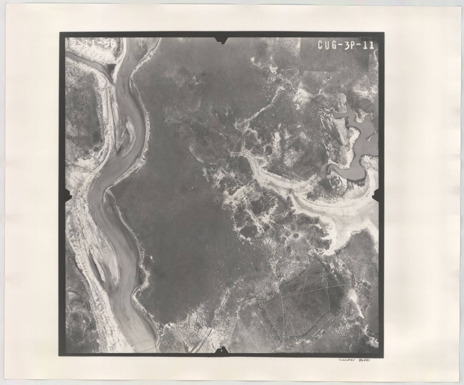
Flight Mission No. CUG-3P, Frame 11, Kleberg County
CUG-3P-11
-
Map/Doc
86221
-
Collection
General Map Collection
-
Object Dates
1956/2/11 (Creation Date)
-
People and Organizations
U. S. Department of Agriculture (Publisher)
-
Counties
Kleberg
-
Subjects
Aerial Photograph
-
Height x Width
18.5 x 22.2 inches
47.0 x 56.4 cm
-
Comments
Flown by V. L. Beavers and Associates of San Antonio, Texas.
Part of: General Map Collection
Bosque County Working Sketch 6

Print $20.00
- Digital $50.00
Bosque County Working Sketch 6
1939
Size 22.3 x 35.6 inches
Map/Doc 67439
Map of the City of San Antonio, Bexar County, Texas including suburbs, north and south

Print $20.00
- Digital $50.00
Map of the City of San Antonio, Bexar County, Texas including suburbs, north and south
Size 39.6 x 26.6 inches
Map/Doc 96511
Knox County Sketch File 10a

Print $40.00
- Digital $50.00
Knox County Sketch File 10a
1902
Size 9.5 x 19.0 inches
Map/Doc 29223
Flight Mission No. BRA-7M, Frame 78, Jefferson County

Print $20.00
- Digital $50.00
Flight Mission No. BRA-7M, Frame 78, Jefferson County
1953
Size 16.0 x 16.1 inches
Map/Doc 85500
Flight Mission No. BRA-16M, Frame 180, Jefferson County

Print $20.00
- Digital $50.00
Flight Mission No. BRA-16M, Frame 180, Jefferson County
1953
Size 18.5 x 22.4 inches
Map/Doc 85778
Jasper County Working Sketch 1

Print $20.00
- Digital $50.00
Jasper County Working Sketch 1
Size 18.2 x 23.4 inches
Map/Doc 66463
San Jacinto River and Tributaries, Texas - Survey of 1939

Print $20.00
- Digital $50.00
San Jacinto River and Tributaries, Texas - Survey of 1939
1939
Size 28.0 x 40.3 inches
Map/Doc 60307
Flight Mission No. CRK-7P, Frame 79, Refugio County

Print $20.00
- Digital $50.00
Flight Mission No. CRK-7P, Frame 79, Refugio County
1956
Size 18.2 x 22.1 inches
Map/Doc 86950
Travis County Appraisal District Plat Map 2_3013

Print $20.00
- Digital $50.00
Travis County Appraisal District Plat Map 2_3013
Size 21.5 x 26.4 inches
Map/Doc 94220
Brewster County Sketch File FN-31

Print $4.00
- Digital $50.00
Brewster County Sketch File FN-31
1975
Size 11.3 x 8.8 inches
Map/Doc 15852

Tom Green County Sketch File 2

Print $4.00
- Digital $50.00
Tom Green County Sketch File 2
Size 9.6 x 7.6 inches
Map/Doc 38161
You may also like
Crane County Sketch File 31

Print $8.00
- Digital $50.00
Crane County Sketch File 31
1991
Size 11.3 x 8.9 inches
Map/Doc 19620
[Folder for] Nautical Chart 11305: Texas Intracoastal Waterway, Laguna Madre, Rincon de San Jose to Chubby Island
![75913, [Folder for] Nautical Chart 11305: Texas Intracoastal Waterway, Laguna Madre, Rincon de San Jose to Chubby Island, General Map Collection](https://historictexasmaps.com/wmedia_w700/maps/75913-1.tif.jpg)
Print $20.00
- Digital $50.00
[Folder for] Nautical Chart 11305: Texas Intracoastal Waterway, Laguna Madre, Rincon de San Jose to Chubby Island
1976
Size 16.0 x 19.0 inches
Map/Doc 75913
Andrews County Boundary File 4

Print $40.00
- Digital $50.00
Andrews County Boundary File 4
Size 35.4 x 7.1 inches
Map/Doc 49721
Yoakum County

Print $20.00
- Digital $50.00
Yoakum County
1932
Size 45.6 x 33.6 inches
Map/Doc 95681
[Right of Way & Track Map, The Texas & Pacific Ry. Co. Main Line]
![64662, [Right of Way & Track Map, The Texas & Pacific Ry. Co. Main Line], General Map Collection](https://historictexasmaps.com/wmedia_w700/maps/64662.tif.jpg)
Print $20.00
- Digital $50.00
[Right of Way & Track Map, The Texas & Pacific Ry. Co. Main Line]
Size 11.0 x 18.5 inches
Map/Doc 64662
Flight Mission No. CGI-3N, Frame 48, Cameron County

Print $20.00
- Digital $50.00
Flight Mission No. CGI-3N, Frame 48, Cameron County
1954
Size 18.7 x 22.2 inches
Map/Doc 84554
Matagorda County Working Sketch 14

Print $40.00
- Digital $50.00
Matagorda County Working Sketch 14
1950
Size 42.9 x 50.5 inches
Map/Doc 70872
[Sketch showing county line between Randall and Potter Counties]
![91760, [Sketch showing county line between Randall and Potter Counties], Twichell Survey Records](https://historictexasmaps.com/wmedia_w700/maps/91760-1.tif.jpg)
Print $20.00
- Digital $50.00
[Sketch showing county line between Randall and Potter Counties]
Size 18.8 x 37.0 inches
Map/Doc 91760
Chambers County Boundary File 1

Print $28.00
- Digital $50.00
Chambers County Boundary File 1
Size 8.9 x 6.7 inches
Map/Doc 51226
Lampasas County Working Sketch Graphic Index

Print $20.00
- Digital $50.00
Lampasas County Working Sketch Graphic Index
1972
Size 34.6 x 42.0 inches
Map/Doc 76614
San Patricio County NRC Article 33.136 Sketch 10

Print $692.00
San Patricio County NRC Article 33.136 Sketch 10
2023
Map/Doc 97294
Colorado County Working Sketch 3

Print $20.00
- Digital $50.00
Colorado County Working Sketch 3
1911
Size 23.2 x 19.2 inches
Map/Doc 68103