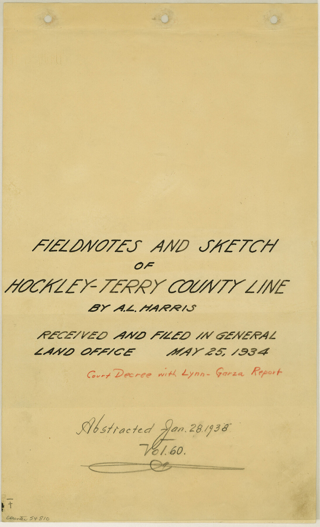
Hockley County Boundary File 4
Terry-Hockley County Boundary Line
-
Map/Doc
54810
-
Collection
General Map Collection
-
Counties
Hockley
-
Subjects
County Boundaries
-
Height x Width
14.3 x 8.7 inches
36.3 x 22.1 cm
Part of: General Map Collection
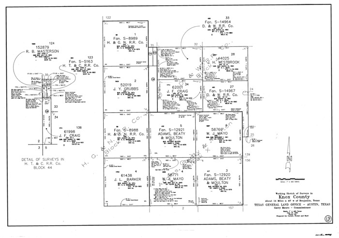
Knox County Working Sketch 19

Print $20.00
- Digital $50.00
Knox County Working Sketch 19
1992
Size 25.0 x 35.6 inches
Map/Doc 70261
Freestone County Working Sketch 8


Print $40.00
- Digital $50.00
Freestone County Working Sketch 8
1960
Size 60.6 x 36.6 inches
Map/Doc 69250
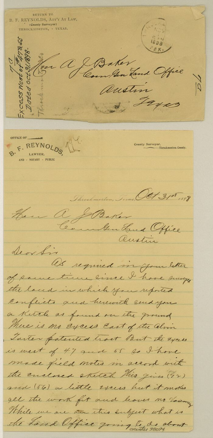
Throckmorton County Sketch File 7a

Print $6.00
- Digital $50.00
Throckmorton County Sketch File 7a
1898
Size 13.9 x 6.7 inches
Map/Doc 38094
Gray County Sketch File 1


Print $4.00
- Digital $50.00
Gray County Sketch File 1
1882
Size 10.4 x 7.2 inches
Map/Doc 24396
Map of Bell County


Print $20.00
- Digital $50.00
Map of Bell County
1855
Size 19.2 x 24.4 inches
Map/Doc 829
Maps of Gulf Intracoastal Waterway, Texas - Sabine River to the Rio Grande and connecting waterways including ship channels


Print $20.00
- Digital $50.00
Maps of Gulf Intracoastal Waterway, Texas - Sabine River to the Rio Grande and connecting waterways including ship channels
1966
Size 14.3 x 20.7 inches
Map/Doc 61998
Fort Bend County State Real Property Sketch 18


Print $40.00
- Digital $50.00
Fort Bend County State Real Property Sketch 18
2006
Size 17.7 x 24.0 inches
Map/Doc 88615
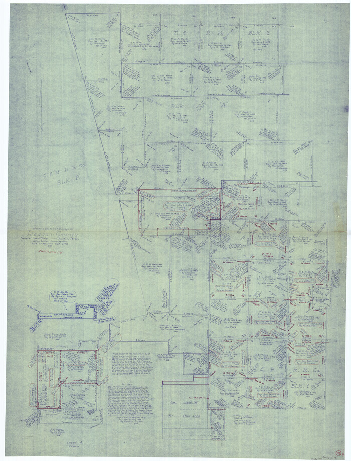
Reagan County Working Sketch 28

Print $40.00
- Digital $50.00
Reagan County Working Sketch 28
1963
Size 55.7 x 42.4 inches
Map/Doc 71870
Freestone County Working Sketch 5
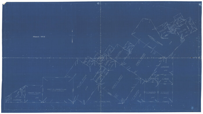

Print $40.00
- Digital $50.00
Freestone County Working Sketch 5
Size 37.8 x 67.4 inches
Map/Doc 69247
Refugio County NRC Article 33.136 Location Key Sheet
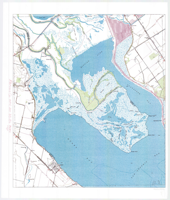

Print $20.00
- Digital $50.00
Refugio County NRC Article 33.136 Location Key Sheet
Size 26.3 x 22.3 inches
Map/Doc 87912
Culberson County Rolled Sketch 54


Print $40.00
- Digital $50.00
Culberson County Rolled Sketch 54
1968
Size 59.0 x 29.4 inches
Map/Doc 10300
Dimmit County Working Sketch 22


Print $20.00
- Digital $50.00
Dimmit County Working Sketch 22
1951
Size 37.3 x 38.7 inches
Map/Doc 68683
You may also like
[Copied from a chart of Galveston Bar and Harbor]
![72760, [Copied from a chart of Galveston Bar and Harbor], General Map Collection](https://historictexasmaps.com/wmedia_w700/maps/72760.tif.jpg)
![72760, [Copied from a chart of Galveston Bar and Harbor], General Map Collection](https://historictexasmaps.com/wmedia_w700/maps/72760.tif.jpg)
Print $20.00
- Digital $50.00
[Copied from a chart of Galveston Bar and Harbor]
1846
Size 18.3 x 25.3 inches
Map/Doc 72760
King County Rolled Sketch 11
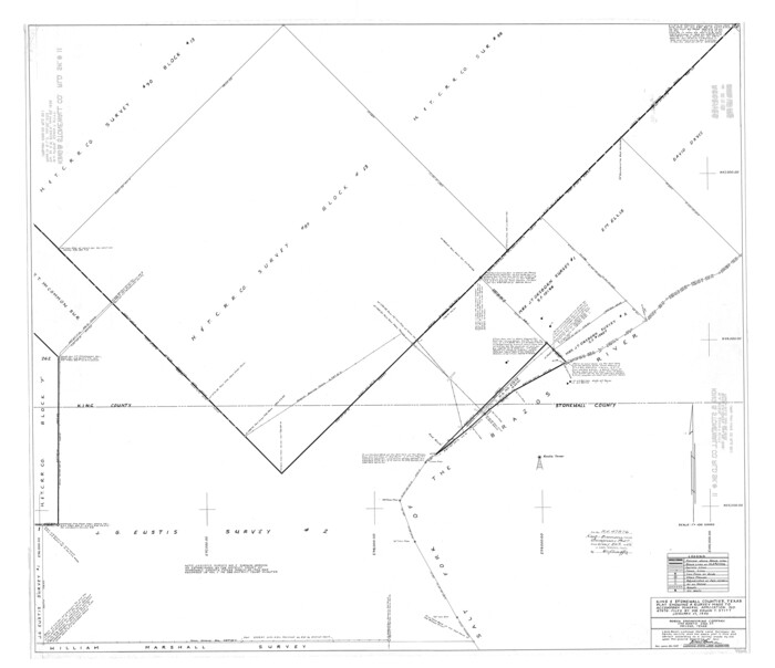

Print $20.00
- Digital $50.00
King County Rolled Sketch 11
1955
Size 40.2 x 46.6 inches
Map/Doc 9351
Concho County Sketch File 51


Print $24.00
- Digital $50.00
Concho County Sketch File 51
1971
Size 11.1 x 8.6 inches
Map/Doc 19218
Childress County Sketch File 15


Print $8.00
- Digital $50.00
Childress County Sketch File 15
Size 14.3 x 8.3 inches
Map/Doc 18278
North Part Brewster Co.
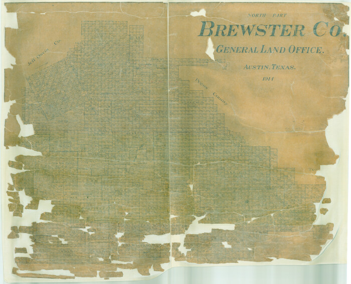

Print $20.00
- Digital $50.00
North Part Brewster Co.
1914
Size 38.7 x 47.8 inches
Map/Doc 16948
Bell County Working Sketch 3
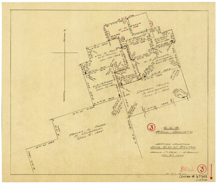

Print $3.00
- Digital $50.00
Bell County Working Sketch 3
1940
Size 10.8 x 12.8 inches
Map/Doc 67343
Collin County Sketch File 8

Print $4.00
- Digital $50.00
Collin County Sketch File 8
1859
Size 10.2 x 8.1 inches
Map/Doc 18868
Hudspeth County Rolled Sketch 69


Print $20.00
- Digital $50.00
Hudspeth County Rolled Sketch 69
1973
Size 12.3 x 19.8 inches
Map/Doc 6264
Trinity River, Slate Rock Ferry Sheet/East Fork of Trinity River
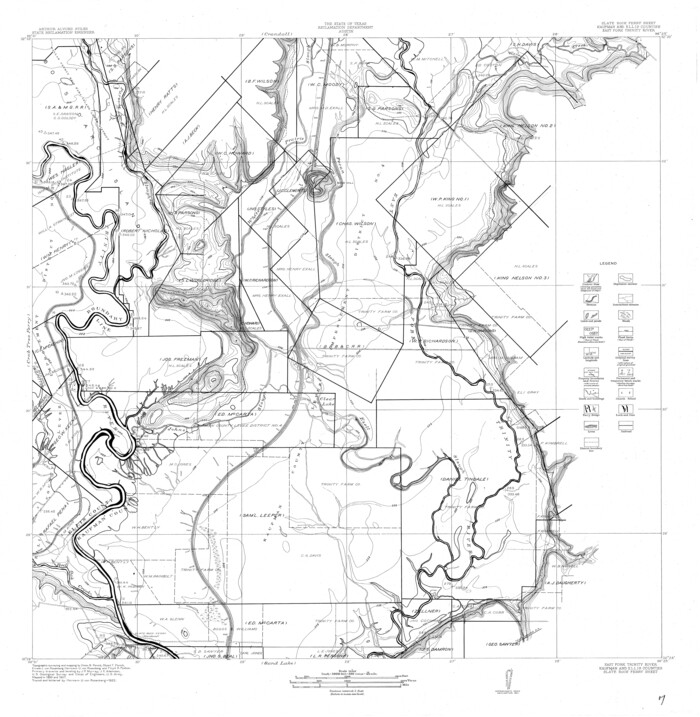

Print $6.00
- Digital $50.00
Trinity River, Slate Rock Ferry Sheet/East Fork of Trinity River
1922
Size 35.1 x 34.3 inches
Map/Doc 65185
General Highway Map, San Patricio County, Texas


Print $20.00
General Highway Map, San Patricio County, Texas
1961
Size 18.1 x 24.5 inches
Map/Doc 79647
Harrison County Working Sketch 13


Print $20.00
- Digital $50.00
Harrison County Working Sketch 13
1961
Size 32.4 x 37.0 inches
Map/Doc 66033
Cherokee County Working Sketch 4
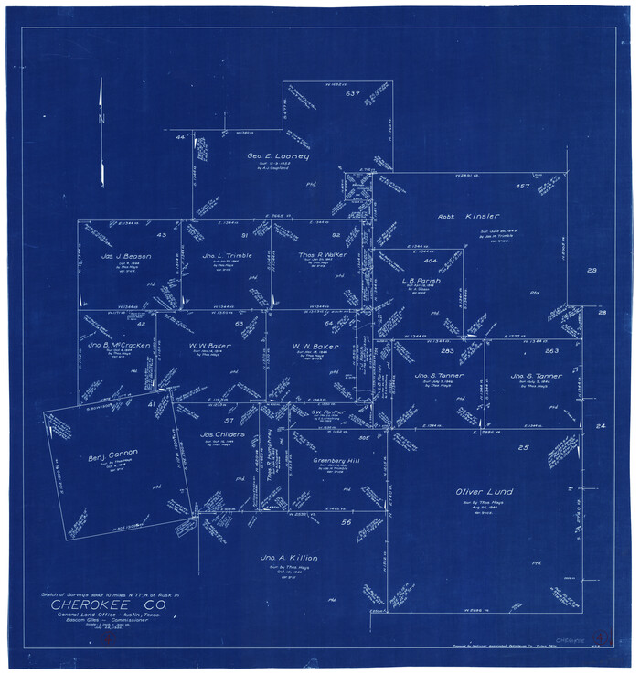

Print $20.00
- Digital $50.00
Cherokee County Working Sketch 4
1950
Size 33.1 x 31.5 inches
Map/Doc 67959
