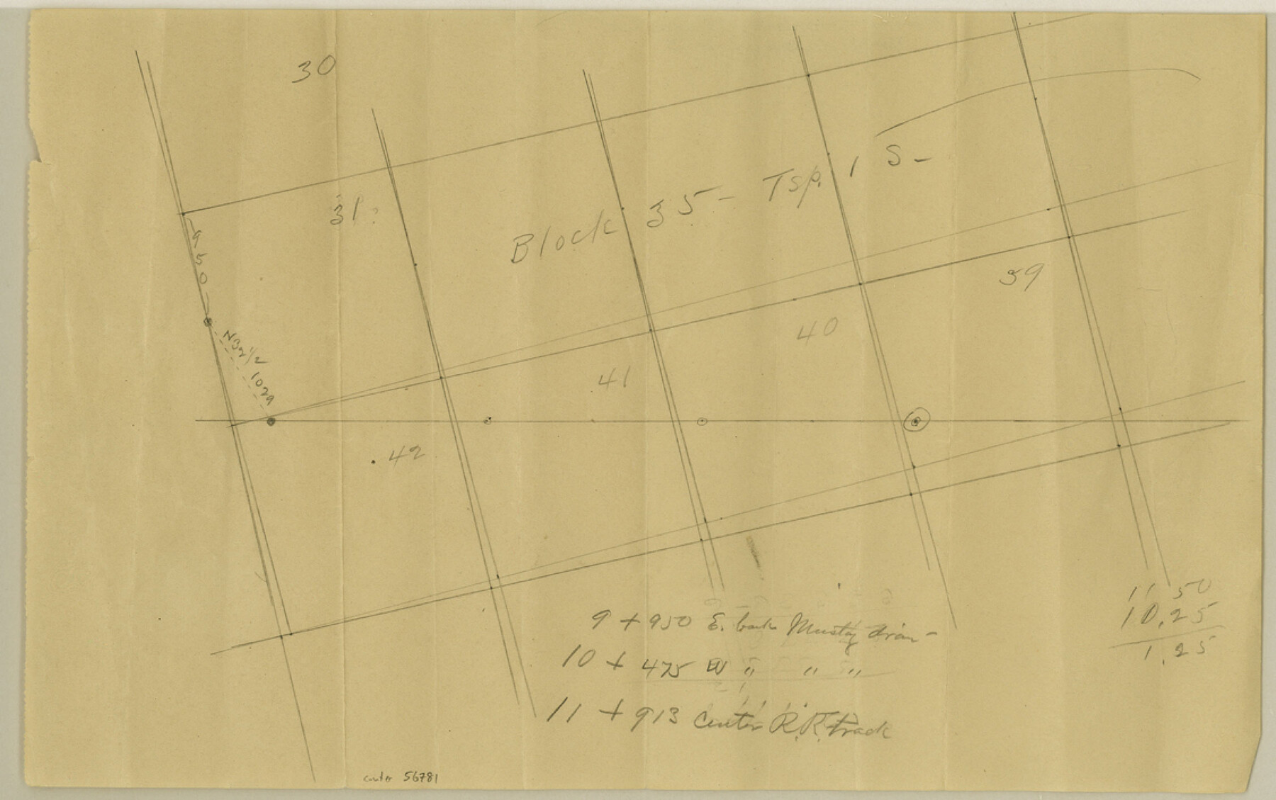
Martin County Boundary File 3
[Sketch of Martin-Howard-Glasscock Boundary line]
-
Map/Doc
56781
-
Collection
General Map Collection
-
Counties
Martin
-
Subjects
County Boundaries
-
Height x Width
7.1 x 11.3 inches
18.0 x 28.7 cm
Part of: General Map Collection
Van Zandt County Working Sketch 11

Print $20.00
- Digital $50.00
Van Zandt County Working Sketch 11
1982
Size 15.2 x 9.3 inches
Map/Doc 72261
Red River County Working Sketch 59

Print $20.00
- Digital $50.00
Red River County Working Sketch 59
1972
Size 31.1 x 47.2 inches
Map/Doc 72042
Edwards County Sketch File 29

Print $40.00
- Digital $50.00
Edwards County Sketch File 29
Size 19.4 x 15.9 inches
Map/Doc 11432
Edwards County Sketch File 5

Print $5.00
- Digital $50.00
Edwards County Sketch File 5
Size 9.0 x 3.9 inches
Map/Doc 21682
Dimmit County Sketch File 20a

Print $2.00
- Digital $50.00
Dimmit County Sketch File 20a
Size 9.3 x 4.3 inches
Map/Doc 21103

Jasper County Sketch File 13

Print $4.00
- Digital $50.00
Jasper County Sketch File 13
1880
Size 12.1 x 8.7 inches
Map/Doc 27804
Right of Way and Track Map Houston & Texas Central R.R. operated by the T. and N. O. R.R. Co., Fort Worth Branch

Print $40.00
- Digital $50.00
Right of Way and Track Map Houston & Texas Central R.R. operated by the T. and N. O. R.R. Co., Fort Worth Branch
1918
Size 31.1 x 57.4 inches
Map/Doc 64540
Map of Llano County

Print $20.00
- Digital $50.00
Map of Llano County
1859
Size 28.6 x 21.7 inches
Map/Doc 3826
Gulf Oil Corp. Fishgide - Freeport

Gulf Oil Corp. Fishgide - Freeport
1960
Size 12.3 x 22.4 inches
Map/Doc 75978

Hutchinson County Boundary File 5

Print $22.00
- Digital $50.00
Hutchinson County Boundary File 5
Size 4.3 x 45.7 inches
Map/Doc 55314
You may also like
Duval County Sketch File 20a

Print $5.00
- Digital $50.00
Duval County Sketch File 20a
Size 9.2 x 11.4 inches
Map/Doc 21322

Borden County Working Sketch 7

Print $20.00
- Digital $50.00
Borden County Working Sketch 7
1947
Size 21.0 x 22.5 inches
Map/Doc 67467
Jefferson County Rolled Sketch 36

Print $20.00
- Digital $50.00
Jefferson County Rolled Sketch 36
1957
Size 41.1 x 29.1 inches
Map/Doc 6395
Flight Mission No. DCL-7C, Frame 26, Kenedy County

Print $20.00
- Digital $50.00
Flight Mission No. DCL-7C, Frame 26, Kenedy County
1943
Size 15.3 x 15.5 inches
Map/Doc 86018
Hutchinson County Working Sketch 17

Print $20.00
- Digital $50.00
Hutchinson County Working Sketch 17
Size 45.8 x 44.2 inches
Map/Doc 66376
The Republic County of Gonzales. Boundaries Defined, December 14, 1837

Print $20.00
The Republic County of Gonzales. Boundaries Defined, December 14, 1837
2020
Size 14.7 x 21.7 inches
Map/Doc 96153
Nacogdoches County Boundary File 1

Print $36.00
- Digital $50.00
Nacogdoches County Boundary File 1
Size 6.7 x 4.4 inches
Map/Doc 57562
Motley County Sketch File 13 (N)

Print $10.00
- Digital $50.00
Motley County Sketch File 13 (N)
1911
Size 11.1 x 8.6 inches
Map/Doc 32043
El Paso County Working Sketch 14

Print $20.00
- Digital $50.00
El Paso County Working Sketch 14
1957
Size 10.0 x 27.0 inches
Map/Doc 69036
East Part of Brewster Co.

Print $40.00
- Digital $50.00
East Part of Brewster Co.
1952
Size 48.7 x 29.6 inches
Map/Doc 66734
Map of Orange County, Texas

Print $20.00
- Digital $50.00
Map of Orange County, Texas
1880
Size 15.6 x 19.1 inches
Map/Doc 746