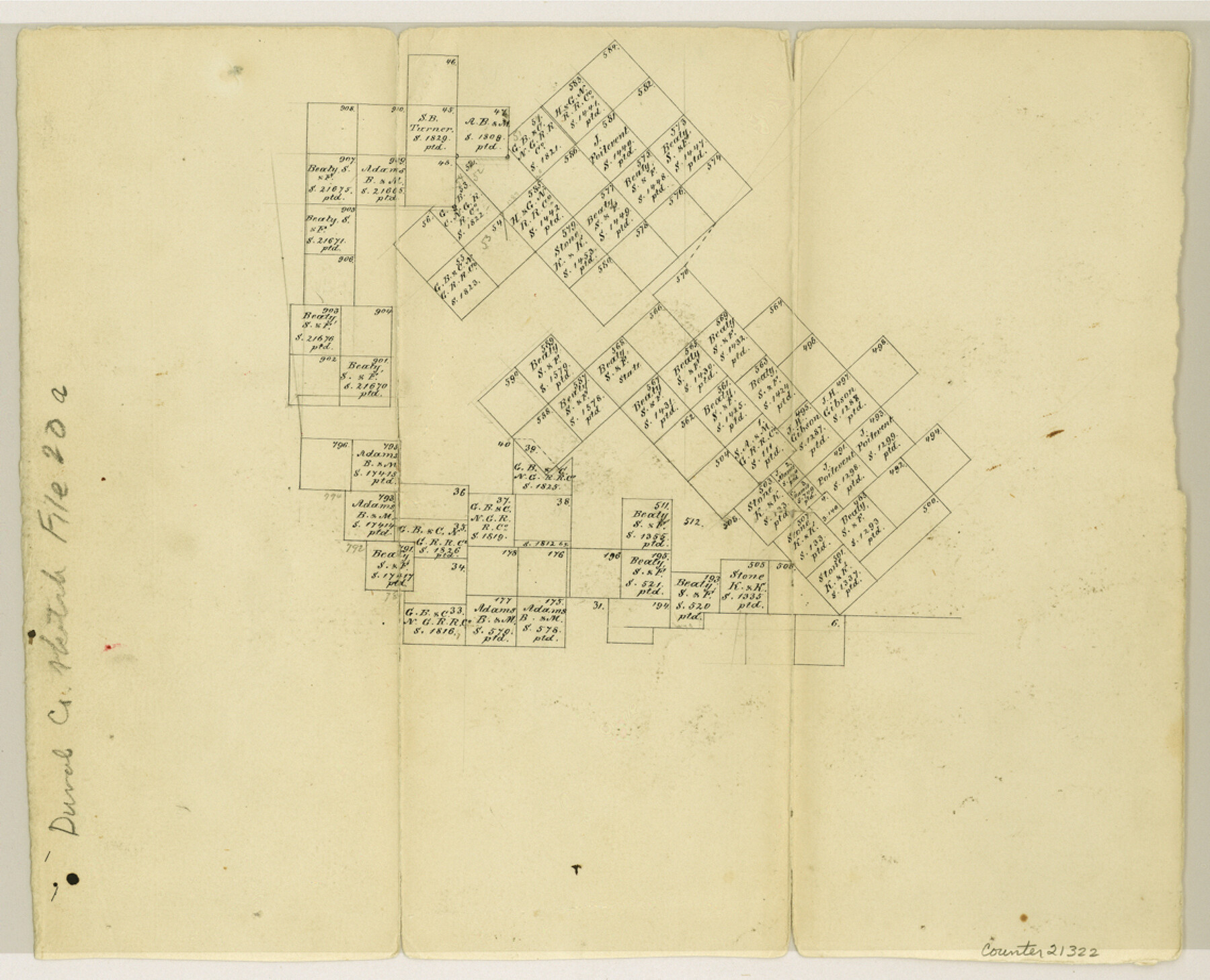
Duval County Sketch File 20a
[Office sketch of surveys in the northwest part of the county]
-
Map/Doc
21322
-
Collection
General Map Collection
-
Counties
Duval
-
Subjects
Surveying Sketch File
-
Height x Width
9.2 x 11.4 inches
23.4 x 29.0 cm
-
Medium
paper, manuscript
Part of: General Map Collection
Flight Mission No. DCL-6C, Frame 16, Kenedy County

Print $20.00
- Digital $50.00
Flight Mission No. DCL-6C, Frame 16, Kenedy County
1943
Size 18.7 x 22.3 inches
Map/Doc 85873
Real County Working Sketch 85

Print $20.00
- Digital $50.00
Real County Working Sketch 85
1988
Size 27.0 x 30.0 inches
Map/Doc 71977
Township 11 North Range 16 West, South Western District, Louisiana

Print $20.00
- Digital $50.00
Township 11 North Range 16 West, South Western District, Louisiana
1834
Size 19.7 x 24.7 inches
Map/Doc 65869
McMullen County Sketch File 38

Print $20.00
- Digital $50.00
McMullen County Sketch File 38
1938
Size 31.3 x 17.5 inches
Map/Doc 12064
Flight Mission No. BRE-1P, Frame 78, Nueces County

Print $20.00
- Digital $50.00
Flight Mission No. BRE-1P, Frame 78, Nueces County
1956
Size 18.6 x 22.4 inches
Map/Doc 86660
Trinity River, Dallas Elevation Sheet

Print $20.00
- Digital $50.00
Trinity River, Dallas Elevation Sheet
1913
Size 26.6 x 24.1 inches
Map/Doc 65258
Galveston County Sketch File 70

Print $26.00
- Digital $50.00
Galveston County Sketch File 70
1983
Size 11.3 x 8.7 inches
Map/Doc 23928
Flight Mission No. DQN-4K, Frame 6, Calhoun County

Print $20.00
- Digital $50.00
Flight Mission No. DQN-4K, Frame 6, Calhoun County
1953
Size 18.6 x 22.4 inches
Map/Doc 84371
Dawson County Sketch File 16

Print $14.00
- Digital $50.00
Dawson County Sketch File 16
Size 13.4 x 8.8 inches
Map/Doc 20551
El Paso County Rolled Sketch 42

Print $20.00
- Digital $50.00
El Paso County Rolled Sketch 42
Size 34.5 x 24.5 inches
Map/Doc 5828
Jeff Davis County Rolled Sketch 24

Print $20.00
- Digital $50.00
Jeff Davis County Rolled Sketch 24
1953
Size 23.2 x 32.5 inches
Map/Doc 6372
Wise County Sketch File 49

Print $20.00
- Digital $50.00
Wise County Sketch File 49
1882
Size 15.5 x 20.8 inches
Map/Doc 12702
You may also like
Pecos County Working Sketch 100

Print $20.00
- Digital $50.00
Pecos County Working Sketch 100
1970
Size 42.9 x 31.6 inches
Map/Doc 71573
Bee County Sketch File 19

Print $6.00
- Digital $50.00
Bee County Sketch File 19
Size 12.7 x 8.4 inches
Map/Doc 14305
San Patricio County Rolled Sketch 20A

Print $20.00
- Digital $50.00
San Patricio County Rolled Sketch 20A
Size 25.9 x 30.3 inches
Map/Doc 7579

Right of Way and Track Map, Houston & Texas Central R.R. operated by the T. and N. O. R.R., Fort Worth Branch

Print $40.00
- Digital $50.00
Right of Way and Track Map, Houston & Texas Central R.R. operated by the T. and N. O. R.R., Fort Worth Branch
1918
Size 31.9 x 57.7 inches
Map/Doc 64779
Wharton County Working Sketch 16

Print $20.00
- Digital $50.00
Wharton County Working Sketch 16
1952
Size 23.8 x 26.8 inches
Map/Doc 72480
Cottle County Working Sketch 6

Print $20.00
- Digital $50.00
Cottle County Working Sketch 6
1927
Size 23.0 x 29.3 inches
Map/Doc 68316

Edwards County

Print $20.00
- Digital $50.00
Edwards County
1893
Size 25.8 x 29.4 inches
Map/Doc 3506
Galveston County NRC Article 33.136 Location Key Sheet

Print $20.00
- Digital $50.00
Galveston County NRC Article 33.136 Location Key Sheet
1994
Size 27.0 x 21.8 inches
Map/Doc 77024
Winkler County Working Sketch 3

Print $40.00
- Digital $50.00
Winkler County Working Sketch 3
1944
Size 43.5 x 60.5 inches
Map/Doc 72597
San Patricio County NRC Article 33.136 Location Key Sheet

Print $20.00
- Digital $50.00
San Patricio County NRC Article 33.136 Location Key Sheet
1975
Size 27.0 x 23.0 inches
Map/Doc 77036