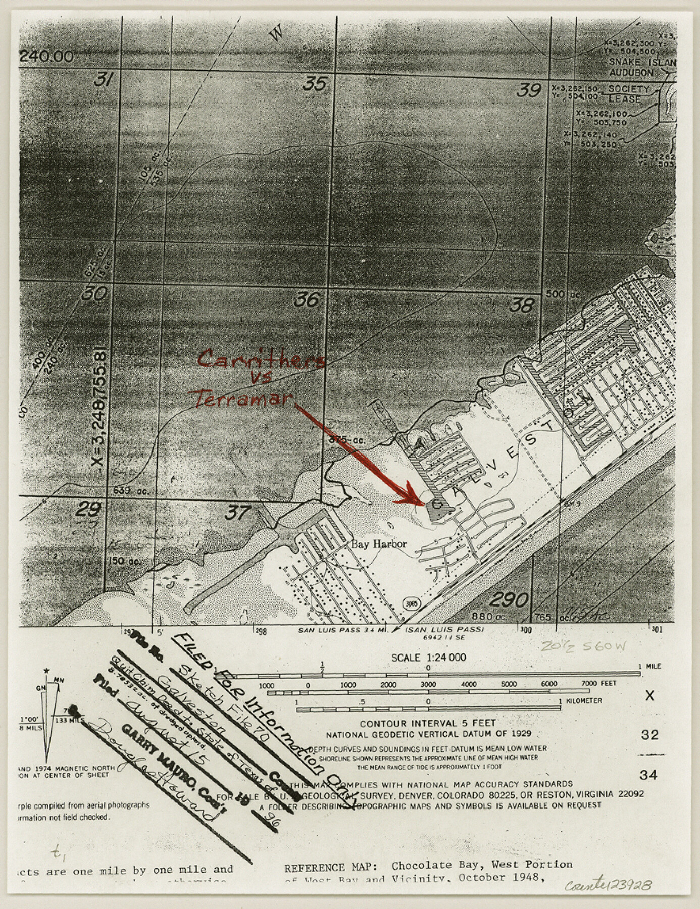
Galveston County Sketch File 70
[Quit claim deed to State of Texas of 8.78532 acres of dredged upland, out of Division 4, Section 13 of the Hall and Jones survey, A-121]
-
Map/Doc
23928
-
Collection
General Map Collection
-
Object Dates
1983/3/9 (Creation Date)
1996/8/15 (File Date)
1979/1/29 (Creation Date)
-
Counties
Galveston
-
Subjects
Surveying Sketch File
-
Height x Width
11.3 x 8.7 inches
28.7 x 22.1 cm
-
Medium
paper, photocopy
-
Scale
1:24,000
-
Features
Snake Island
Bay Harbor
Galveston
Terramar Beach [Subdivision]
Gulf of Mexico
Marina Drive
Terramar Channel
Martes Street
Lunes Street
Vida Street
Laguna Drive
Cuadro Street
Obra Street
Obra Drive
Buena Street
Terramar Drive
Part of: General Map Collection
Trinity County Rolled Sketch 7

Print $20.00
- Digital $50.00
Trinity County Rolled Sketch 7
1999
Size 24.8 x 36.3 inches
Map/Doc 8054
Flight Mission No. CRC-5R, Frame 22, Chambers County

Print $20.00
- Digital $50.00
Flight Mission No. CRC-5R, Frame 22, Chambers County
1956
Size 18.7 x 22.6 inches
Map/Doc 84944
Hansford County Working Sketch 9

Print $20.00
- Digital $50.00
Hansford County Working Sketch 9
1984
Size 31.5 x 38.2 inches
Map/Doc 63381
Brewster County Rolled Sketch 114

Print $20.00
- Digital $50.00
Brewster County Rolled Sketch 114
1964
Size 11.4 x 18.2 inches
Map/Doc 5282
Sherman County Boundary File 2

Print $34.00
- Digital $50.00
Sherman County Boundary File 2
Size 13.0 x 9.0 inches
Map/Doc 58761
Blanco County Working Sketch 6b

Print $40.00
- Digital $50.00
Blanco County Working Sketch 6b
1930
Size 52.6 x 27.8 inches
Map/Doc 67366
Limestone County Working Sketch 17

Print $20.00
- Digital $50.00
Limestone County Working Sketch 17
1959
Size 42.2 x 33.1 inches
Map/Doc 70567
Martin County Rolled Sketch 8

Print $20.00
- Digital $50.00
Martin County Rolled Sketch 8
Size 28.8 x 20.9 inches
Map/Doc 6668
Crockett County Sketch File 95

Print $24.00
- Digital $50.00
Crockett County Sketch File 95
Size 11.2 x 8.9 inches
Map/Doc 19952
Railroad Track Map, H&TCRRCo., Falls County, Texas

Print $4.00
- Digital $50.00
Railroad Track Map, H&TCRRCo., Falls County, Texas
1918
Size 11.8 x 18.5 inches
Map/Doc 62837
Mosaic composed of aerial photographs - Texas City, Tex.

Print $20.00
- Digital $50.00
Mosaic composed of aerial photographs - Texas City, Tex.
1923
Size 15.0 x 16.8 inches
Map/Doc 97166
Sutton County Sketch File 26

Print $20.00
- Digital $50.00
Sutton County Sketch File 26
1929
Size 19.6 x 14.8 inches
Map/Doc 12383
You may also like
Gillespie County Sketch File 3

Print $4.00
- Digital $50.00
Gillespie County Sketch File 3
1847
Size 11.2 x 8.0 inches
Map/Doc 24129
Galveston County Rolled Sketch 50

Print $20.00
- Digital $50.00
Galveston County Rolled Sketch 50
2011
Size 23.9 x 35.8 inches
Map/Doc 95179
Fractional Township No. 7 South Range No. 1 West of the Indian Meridian, Indian Territory

Print $4.00
- Digital $50.00
Fractional Township No. 7 South Range No. 1 West of the Indian Meridian, Indian Territory
1898
Size 18.1 x 22.4 inches
Map/Doc 75145
Map of Texas Gulf Coast and Continental Shelf showing Natural Gas Pipe Lines

Print $40.00
- Digital $50.00
Map of Texas Gulf Coast and Continental Shelf showing Natural Gas Pipe Lines
1979
Size 40.9 x 59.3 inches
Map/Doc 75905
Galveston County Sketch File 71

Print $59.00
- Digital $50.00
Galveston County Sketch File 71
1994
Size 11.0 x 17.0 inches
Map/Doc 23941
Oldham County Rolled Sketch 2A

Print $40.00
- Digital $50.00
Oldham County Rolled Sketch 2A
1886
Size 35.9 x 55.6 inches
Map/Doc 9640
Galveston County Working Sketch 20

Print $20.00
- Digital $50.00
Galveston County Working Sketch 20
1983
Size 28.1 x 38.0 inches
Map/Doc 69357
Flight Mission No. CUG-1P, Frame 43, Kleberg County

Print $20.00
- Digital $50.00
Flight Mission No. CUG-1P, Frame 43, Kleberg County
1956
Size 18.6 x 22.4 inches
Map/Doc 86121
Harris County Working Sketch 36

Print $20.00
- Digital $50.00
Harris County Working Sketch 36
1938
Size 23.8 x 23.8 inches
Map/Doc 65928
Burnet County Sketch File 7

Print $6.00
- Digital $50.00
Burnet County Sketch File 7
1854
Size 7.1 x 8.1 inches
Map/Doc 16686
Presidio County Working Sketch 137

Print $20.00
- Digital $50.00
Presidio County Working Sketch 137
1990
Size 24.1 x 42.8 inches
Map/Doc 71815
[Surveys along San Cristoval Creek]
![300, [Surveys along San Cristoval Creek], General Map Collection](https://historictexasmaps.com/wmedia_w700/maps/300.tif.jpg)
Print $2.00
- Digital $50.00
[Surveys along San Cristoval Creek]
1842
Size 9.0 x 9.3 inches
Map/Doc 300