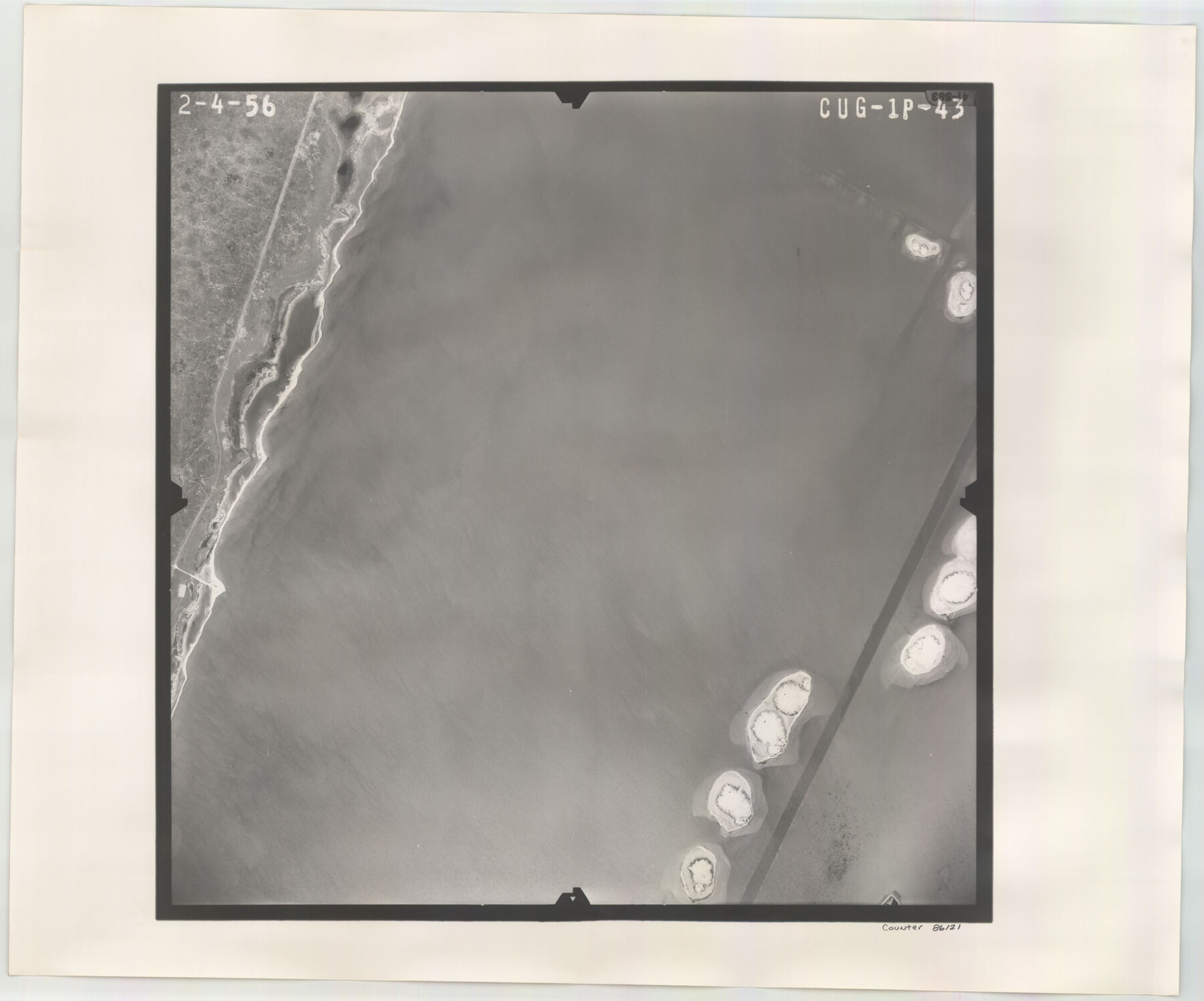
Flight Mission No. CUG-1P, Frame 43, Kleberg County
CUG-1P-43
-
Map/Doc
86121
-
Collection
General Map Collection
-
Object Dates
1956/2/4 (Creation Date)
-
People and Organizations
U. S. Department of Agriculture (Publisher)
-
Counties
Kleberg
-
Subjects
Aerial Photograph
-
Height x Width
18.6 x 22.4 inches
47.2 x 56.9 cm
-
Comments
Flown by V. L. Beavers and Associates of San Antonio, Texas.
Part of: General Map Collection
Township and Railroad Map of New Hampshire compiled from the best authorities with corrections and alteration of town lines from actual surveys

Print $20.00
- Digital $50.00
Township and Railroad Map of New Hampshire compiled from the best authorities with corrections and alteration of town lines from actual surveys
1854
Size 34.8 x 24.4 inches
Map/Doc 97105
Hall County Working Sketch Graphic Index

Print $20.00
- Digital $50.00
Hall County Working Sketch Graphic Index
1972
Size 41.7 x 33.7 inches
Map/Doc 76563
Map of Brazoria

Print $20.00
- Digital $50.00
Map of Brazoria
1860
Size 18.2 x 23.6 inches
Map/Doc 4509
Presidio County Rolled Sketch 77

Print $20.00
- Digital $50.00
Presidio County Rolled Sketch 77
1940
Size 47.1 x 43.0 inches
Map/Doc 9778
Burnet County Sketch File 46

Print $4.00
- Digital $50.00
Burnet County Sketch File 46
1873
Size 12.8 x 8.5 inches
Map/Doc 16773
Map of section no. 6 of a survey of Padre Island made for the Office of the Attorney General of the State of Texas

Print $40.00
- Digital $50.00
Map of section no. 6 of a survey of Padre Island made for the Office of the Attorney General of the State of Texas
1941
Size 57.9 x 40.8 inches
Map/Doc 2262
Duval County Sketch File 14

Print $2.00
- Digital $50.00
Duval County Sketch File 14
Size 10.3 x 8.5 inches
Map/Doc 21308
Jeff Davis County Sketch File 8

Print $20.00
- Digital $50.00
Jeff Davis County Sketch File 8
1889
Size 19.5 x 28.5 inches
Map/Doc 11857
Rockwall County Boundary File 2

Print $12.00
- Digital $50.00
Rockwall County Boundary File 2
Size 14.4 x 8.9 inches
Map/Doc 58385
Flight Mission No. CRC-3R, Frame 204, Chambers County

Print $20.00
- Digital $50.00
Flight Mission No. CRC-3R, Frame 204, Chambers County
1956
Size 18.6 x 22.4 inches
Map/Doc 84859
Flight Mission No. DIX-6P, Frame 115, Aransas County

Print $20.00
- Digital $50.00
Flight Mission No. DIX-6P, Frame 115, Aransas County
1956
Size 19.3 x 22.8 inches
Map/Doc 83821
No. 3 Chart of Channel connecting Corpus Christi Bay with Aransas Bay, Texas

Print $20.00
- Digital $50.00
No. 3 Chart of Channel connecting Corpus Christi Bay with Aransas Bay, Texas
1878
Size 18.1 x 27.8 inches
Map/Doc 72782
You may also like
[Surveys between the Sabine River and Little Cypress Creek]
![139, [Surveys between the Sabine River and Little Cypress Creek], General Map Collection](https://historictexasmaps.com/wmedia_w700/maps/139.tif.jpg)
Print $3.00
- Digital $50.00
[Surveys between the Sabine River and Little Cypress Creek]
1840
Size 9.3 x 13.0 inches
Map/Doc 139
Wise County Sketch File 25

Print $4.00
- Digital $50.00
Wise County Sketch File 25
1860
Size 12.5 x 8.1 inches
Map/Doc 40572
Coast Chart No. 106 - Oyster Bay to Matagorda Bay, Texas

Print $20.00
- Digital $50.00
Coast Chart No. 106 - Oyster Bay to Matagorda Bay, Texas
1878
Size 24.7 x 30.0 inches
Map/Doc 69928
Map of Chambers Co.

Print $20.00
- Digital $50.00
Map of Chambers Co.
1901
Size 24.9 x 25.1 inches
Map/Doc 4907
Map of Bell County

Print $40.00
- Digital $50.00
Map of Bell County
1896
Size 46.7 x 53.7 inches
Map/Doc 4884
Flight Mission No. CGI-4N, Frame 179, Cameron County

Print $20.00
- Digital $50.00
Flight Mission No. CGI-4N, Frame 179, Cameron County
1955
Size 18.5 x 22.2 inches
Map/Doc 84682

Hardin County Sketch File 24a

Print $8.00
- Digital $50.00
Hardin County Sketch File 24a
1868
Size 5.8 x 7.9 inches
Map/Doc 25142
1968 Texas Official State Highway Map

Digital $50.00
1968 Texas Official State Highway Map
Size 28.1 x 36.5 inches
Map/Doc 94319
Anderson County Working Sketch 32

Print $20.00
- Digital $50.00
Anderson County Working Sketch 32
1966
Size 23.7 x 21.9 inches
Map/Doc 67032
Sketch of a part of Galveston Island

Print $3.00
- Digital $50.00
Sketch of a part of Galveston Island
Size 10.8 x 13.8 inches
Map/Doc 430
Bosque County Sketch File 11

Print $4.00
- Digital $50.00
Bosque County Sketch File 11
1863
Size 10.2 x 8.3 inches
Map/Doc 14759