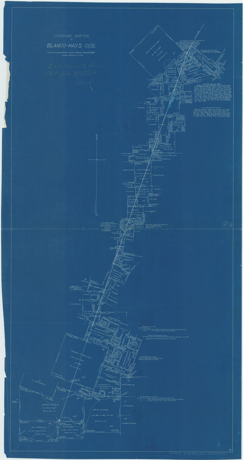
Blanco County Working Sketch 6b
- 
                          Map/Doc67366
- 
                            CollectionGeneral Map Collection
- 
                            Object Dates4/25/1930 (Creation Date)
- 
                            CountiesBlanco Hays
- 
                            SubjectsSurveying Working Sketch
- 
                            Height x Width52.6 x 27.8 inches133.6 x 70.6 cm
- 
                            Scale1" = 1000 varas
- 
                            CommentsSurveys located about 11 1/2 miles South 63 degrees East of Johnson City, Texas.
Part of: General Map Collection
            Sherman County Boundary File Index


                                            Print $2.00                    
                                             -                         Digital $50.00                                    
                Sherman County Boundary File Index
Size 8.8 x 13.2 inches
                                Map/Doc 58750
            
            Lavaca County Rolled Sketch 7


                                            Print $20.00                    
                                             -                         Digital $50.00                                    
                Lavaca County Rolled Sketch 7
Size 37.4 x 32.7 inches
                                Map/Doc 10291
            
            Fayette County Working Sketch 9


                                            Print $20.00                    
                                             -                         Digital $50.00                                    
                Fayette County Working Sketch 9
1981
Size 34.4 x 32.3 inches
                                Map/Doc 69173
            
            Aransas County Sketch File 31


                                            Print $46.00                    
                                             -                         Digital $50.00                                    
                Aransas County Sketch File 31
1919
Size 14.2 x 8.7 inches
                                Map/Doc 13274
            
            Surveys in Austin's Colony along the Colorado River below the San Antonio Road


                                            Print $20.00                    
                                             -                         Digital $50.00                                    
                Surveys in Austin's Colony along the Colorado River below the San Antonio Road
1830
Size 38.2 x 13.5 inches
                                Map/Doc 193
            
            Val Verde County Working Sketch 20


                                            Print $20.00                    
                                             -                         Digital $50.00                                    
                Val Verde County Working Sketch 20
1929
Size 30.5 x 20.2 inches
                                Map/Doc 72155
            
            Montague County Working Sketch 38


                                            Print $20.00                    
                                             -                         Digital $50.00                                    
                Montague County Working Sketch 38
1990
Size 14.9 x 15.6 inches
                                Map/Doc 71104
            
            Dimmit County Working Sketch 51


                                            Print $20.00                    
                                             -                         Digital $50.00                                    
                Dimmit County Working Sketch 51
1986
Size 25.7 x 36.1 inches
                                Map/Doc 68712
            
            Clay County Sketch File 24a


                                            Print $7.00                    
                                             -                         Digital $50.00                                    
                Clay County Sketch File 24a
1881
Size 11.0 x 8.7 inches
                                Map/Doc 18439
            
            Duval County Working Sketch 41


                                            Print $20.00                    
                                             -                         Digital $50.00                                    
                Duval County Working Sketch 41
1963
Size 24.1 x 22.9 inches
                                Map/Doc 68765
            
            Potter County Rolled Sketch 13


                                            Print $20.00                    
                                             -                         Digital $50.00                                    
                Potter County Rolled Sketch 13
2004
Size 19.3 x 23.5 inches
                                Map/Doc 82478
            
            Map of the City of Beaumont, Texas


                                            Print $20.00                    
                                             -                         Digital $50.00                                    
                Map of the City of Beaumont, Texas
1897
Size 31.7 x 30.9 inches
                                Map/Doc 64146
            You may also like
            Crane County Sketch File 26


                                            Print $10.00                    
                                             -                         Digital $50.00                                    
                Crane County Sketch File 26
1939
Size 11.5 x 9.0 inches
                                Map/Doc 19598
            
            Flight Mission No. DCL-6C, Frame 112, Kenedy County


                                            Print $20.00                    
                                             -                         Digital $50.00                                    
                Flight Mission No. DCL-6C, Frame 112, Kenedy County
1943
Size 15.4 x 15.5 inches
                                Map/Doc 85942
            
            Right of Way Map Fort Worth & Denver City Railroad through Hardeman County


                                            Print $40.00                    
                                             -                         Digital $50.00                                    
                Right of Way Map Fort Worth & Denver City Railroad through Hardeman County
1885
Size 23.8 x 121.2 inches
                                Map/Doc 64424
            
            Gulf Coast of the United States, Key West to Rio Grande


                                            Print $20.00                    
                                             -                         Digital $50.00                                    
                Gulf Coast of the United States, Key West to Rio Grande
1863
Size 27.5 x 18.2 inches
                                Map/Doc 72665
            
            Edwards County Sketch File 7


                                            Print $26.00                    
                                             -                         Digital $50.00                                    
                Edwards County Sketch File 7
1880
Size 8.0 x 7.9 inches
                                Map/Doc 21684
            
            Zavala County Sketch File 50


                                            Print $10.00                    
                                             -                         Digital $50.00                                    
                Zavala County Sketch File 50
1956
Size 14.6 x 9.1 inches
                                Map/Doc 41446
            
            Outer Continental Shelf Leasing Maps (Louisiana Offshore Operations)


                                            Print $20.00                    
                                             -                         Digital $50.00                                    
                Outer Continental Shelf Leasing Maps (Louisiana Offshore Operations)
1954
Size 21.2 x 16.3 inches
                                Map/Doc 76103
            
            Wise County Rolled Sketch 6


                                            Print $20.00                    
                                             -                         Digital $50.00                                    
                Wise County Rolled Sketch 6
2000
Size 32.0 x 43.1 inches
                                Map/Doc 8280
            
            Kent County, Texas


                                            Print $20.00                    
                                             -                         Digital $50.00                                    
                Kent County, Texas
1880
Size 23.2 x 19.8 inches
                                Map/Doc 736
            
            General Highway Map, Stephens County, Texas


                                            Print $20.00                    
                                    
                General Highway Map, Stephens County, Texas
1940
Size 24.9 x 18.3 inches
                                Map/Doc 79247
            
            Brewster County Sketch File S-26a


                                            Print $18.00                    
                                             -                         Digital $50.00                                    
                Brewster County Sketch File S-26a
1964
Size 11.1 x 8.7 inches
                                Map/Doc 15837
            
            Montgomery County Working Sketch 78


                                            Print $20.00                    
                                             -                         Digital $50.00                                    
                Montgomery County Working Sketch 78
2016
Size 36.3 x 24.2 inches
                                Map/Doc 94090
            