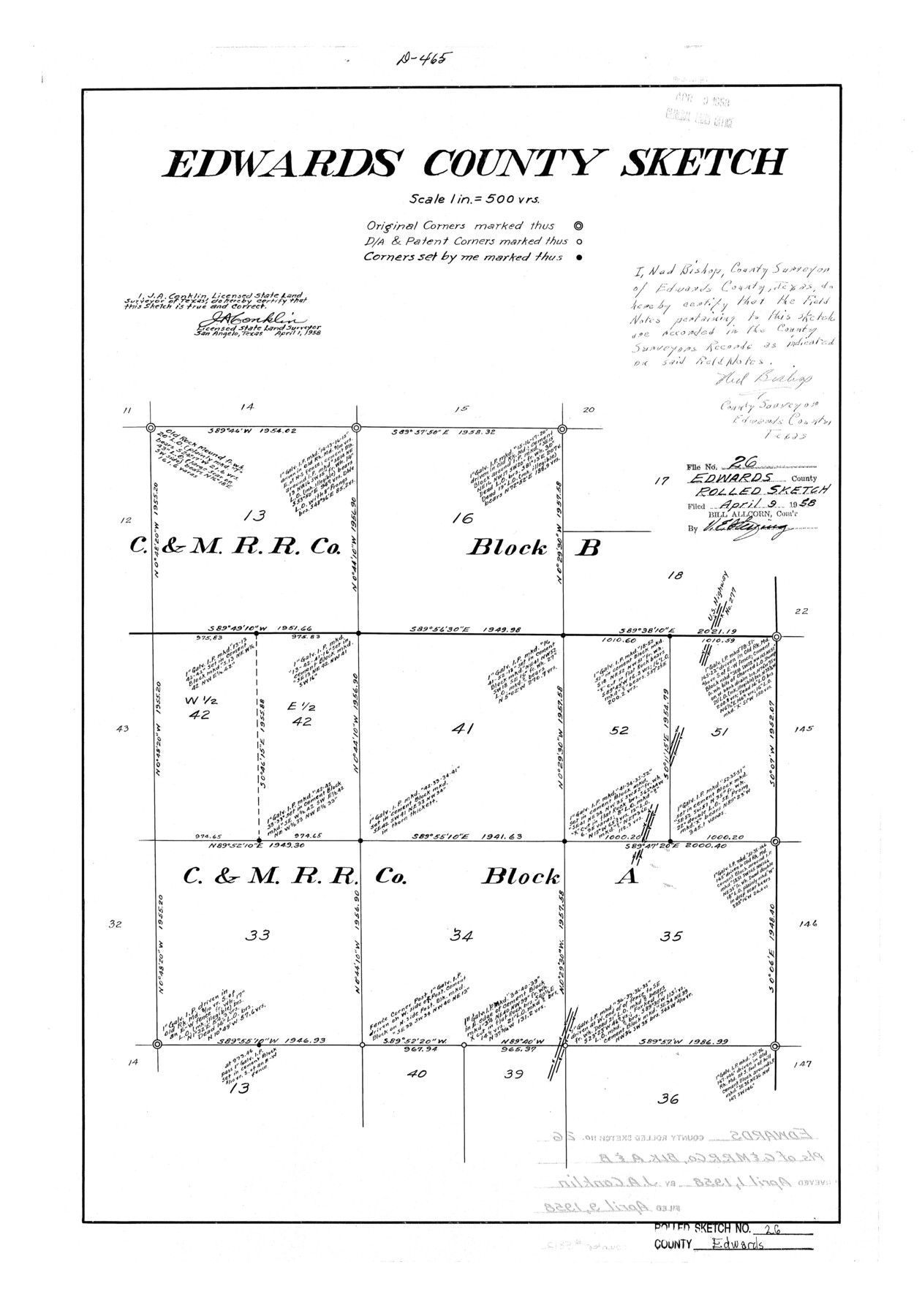
Edwards County Rolled Sketch 26
Edwards County Sketch
-
Map/Doc
5812
-
Collection
General Map Collection
-
Object Dates
1958/4/1 (Creation Date)
1958/4/9 (File Date)
-
People and Organizations
J.A. Conklin (Surveyor/Engineer)
-
Counties
Edwards
-
Subjects
Surveying Rolled Sketch
-
Height x Width
25.0 x 17.5 inches
63.5 x 44.5 cm
-
Scale
1" = 500 varas
Part of: General Map Collection
Maverick County Working Sketch 17

Print $20.00
- Digital $50.00
Maverick County Working Sketch 17
1975
Size 28.8 x 31.4 inches
Map/Doc 70909
Presidio County Sketch File 71

Print $10.00
- Digital $50.00
Presidio County Sketch File 71
1942
Size 11.3 x 8.8 inches
Map/Doc 34674
Terrell County

Print $20.00
- Digital $50.00
Terrell County
1905
Size 41.6 x 30.9 inches
Map/Doc 63061
Reagan County Sketch File 2B

Print $20.00
- Digital $50.00
Reagan County Sketch File 2B
Size 20.4 x 22.2 inches
Map/Doc 12212
Webb County Sketch File 10-1

Print $20.00
- Digital $50.00
Webb County Sketch File 10-1
1850
Size 14.8 x 15.5 inches
Map/Doc 12625

Bailey County Rolled Sketch 2

Print $20.00
- Digital $50.00
Bailey County Rolled Sketch 2
1913
Size 26.8 x 21.4 inches
Map/Doc 5109
Hardeman County Sketch File 30

Print $20.00
- Digital $50.00
Hardeman County Sketch File 30
Size 26.4 x 27.5 inches
Map/Doc 11630
Pecos County Sketch File 31 1/2a

Print $14.00
- Digital $50.00
Pecos County Sketch File 31 1/2a
1931
Size 11.2 x 8.6 inches
Map/Doc 33705
Flight Mission No. DAG-23K, Frame 141, Matagorda County

Print $20.00
- Digital $50.00
Flight Mission No. DAG-23K, Frame 141, Matagorda County
1953
Size 18.7 x 22.4 inches
Map/Doc 86489
Dimmit County Rolled Sketch CHM

Print $20.00
- Digital $50.00
Dimmit County Rolled Sketch CHM
1935
Size 38.4 x 43.4 inches
Map/Doc 8795
Bell County Sketch File 23

Print $4.00
- Digital $50.00
Bell County Sketch File 23
1873
Size 8.2 x 12.8 inches
Map/Doc 14414
You may also like
Jasper County Sketch File 1a

Print $8.00
- Digital $50.00
Jasper County Sketch File 1a
1859
Size 12.1 x 7.7 inches
Map/Doc 27765
Childress County Rolled Sketch 8

Print $20.00
- Digital $50.00
Childress County Rolled Sketch 8
1889
Size 12.4 x 22.2 inches
Map/Doc 5442
Map of Concho County

Print $20.00
- Digital $50.00
Map of Concho County
1897
Size 46.9 x 38.4 inches
Map/Doc 4919
Lamar County Working Sketch 8

Print $20.00
- Digital $50.00
Lamar County Working Sketch 8
1969
Size 39.3 x 31.6 inches
Map/Doc 70269


Houston County Working Sketch 26

Print $20.00
- Digital $50.00
Houston County Working Sketch 26
1987
Size 30.1 x 20.4 inches
Map/Doc 66256
United States - Gulf Coast - Galveston to Rio Grande

Print $20.00
- Digital $50.00
United States - Gulf Coast - Galveston to Rio Grande
1941
Size 27.2 x 18.2 inches
Map/Doc 72753
Andrews County Working Sketch 17

Print $20.00
- Digital $50.00
Andrews County Working Sketch 17
1963
Size 30.7 x 27.1 inches
Map/Doc 67063
Flight Mission No. CLL-3N, Frame 38, Willacy County

Print $20.00
- Digital $50.00
Flight Mission No. CLL-3N, Frame 38, Willacy County
1954
Size 18.6 x 22.2 inches
Map/Doc 87096

Anderson County Working Sketch 1

Print $20.00
- Digital $50.00
Anderson County Working Sketch 1
Size 24.0 x 19.3 inches
Map/Doc 67000