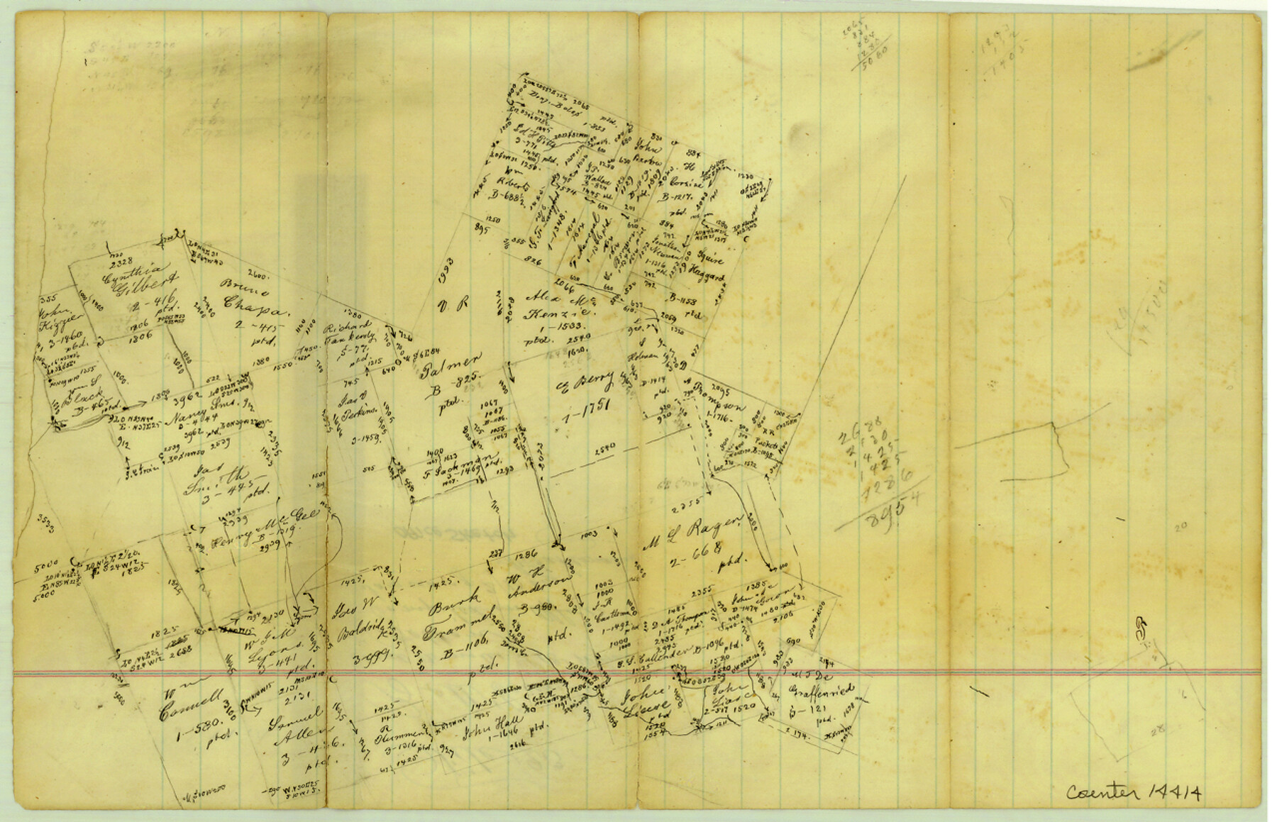
Bell County Sketch File 23
[Office sketch southwest of Belton]
-
Map/Doc
14414
-
Collection
General Map Collection
-
Object Dates
1873/1/2 (Creation Date)
1873/1/2 (File Date)
-
Counties
Bell
-
Subjects
Surveying Sketch File
-
Height x Width
8.2 x 12.8 inches
20.8 x 32.5 cm
-
Medium
paper, manuscript
Part of: General Map Collection
Brewster County Boundary File 2

Print $40.00
- Digital $50.00
Brewster County Boundary File 2
Size 14.0 x 16.3 inches
Map/Doc 50756
Nueces County Rolled Sketch 42

Print $45.00
Nueces County Rolled Sketch 42
1970
Size 27.6 x 39.2 inches
Map/Doc 6880
Tyler County Sketch File 11

Print $4.00
- Digital $50.00
Tyler County Sketch File 11
1849
Size 11.3 x 5.6 inches
Map/Doc 38650
Foard County Working Sketch 4

Print $20.00
- Digital $50.00
Foard County Working Sketch 4
1934
Size 29.4 x 27.8 inches
Map/Doc 69194
Amistad International Reservoir on Rio Grande 70

Print $20.00
- Digital $50.00
Amistad International Reservoir on Rio Grande 70
1949
Size 28.4 x 39.7 inches
Map/Doc 73356
Crockett County Working Sketch 35

Print $20.00
- Digital $50.00
Crockett County Working Sketch 35
1927
Size 20.2 x 25.5 inches
Map/Doc 68368
Brewster County Working Sketch 90

Print $40.00
- Digital $50.00
Brewster County Working Sketch 90
1975
Size 61.0 x 43.3 inches
Map/Doc 67690
Aransas County Rolled Sketch 16

Print $40.00
- Digital $50.00
Aransas County Rolled Sketch 16
1965
Size 44.1 x 92.5 inches
Map/Doc 8412
Somervell County

Print $20.00
- Digital $50.00
Somervell County
1941
Size 28.1 x 26.1 inches
Map/Doc 73291
Sabine River, Toll Bridge Sheet

Print $40.00
- Digital $50.00
Sabine River, Toll Bridge Sheet
1933
Size 27.8 x 51.9 inches
Map/Doc 65136
Brewster County Working Sketch 79

Print $40.00
- Digital $50.00
Brewster County Working Sketch 79
1970
Size 52.8 x 32.6 inches
Map/Doc 67679
Location St. L. & S. W. R. R. Through Cherokee County

Print $40.00
- Digital $50.00
Location St. L. & S. W. R. R. Through Cherokee County
Size 108.6 x 39.0 inches
Map/Doc 64043
You may also like
Uvalde County Working Sketch 58

Print $20.00
- Digital $50.00
Uvalde County Working Sketch 58
1968
Size 29.3 x 23.3 inches
Map/Doc 72128
Working Sketch in Gray County

Print $3.00
- Digital $50.00
Working Sketch in Gray County
1903
Size 10.9 x 15.5 inches
Map/Doc 90753
Slaughter and Veal Lands, Howard and Borden Counties, Texas

Print $20.00
- Digital $50.00
Slaughter and Veal Lands, Howard and Borden Counties, Texas
Size 33.5 x 27.3 inches
Map/Doc 92544
Austin Street Map & Guide

Digital $50.00
Austin Street Map & Guide
Size 35.4 x 23.1 inches
Map/Doc 94435
The Chief Justice County of Colorado. Undated

Print $20.00
The Chief Justice County of Colorado. Undated
2020
Size 14.8 x 21.6 inches
Map/Doc 96044
Wilson County Working Sketch 1

Print $2.00
- Digital $50.00
Wilson County Working Sketch 1
Size 7.1 x 13.1 inches
Map/Doc 72581
Martin County Rolled Sketch 2

Print $20.00
- Digital $50.00
Martin County Rolled Sketch 2
1906
Size 36.5 x 31.3 inches
Map/Doc 9492
Montague County Boundary File 2d

Print $4.00
- Digital $50.00
Montague County Boundary File 2d
Size 12.5 x 8.2 inches
Map/Doc 57432
Webb County Sketch File 11a-1

Print $27.00
- Digital $50.00
Webb County Sketch File 11a-1
1884
Size 22.2 x 9.3 inches
Map/Doc 12626
University Land Field Notes for Blocks A, B, C, D, E, F, G, H, I, and J in Hudspeth County

University Land Field Notes for Blocks A, B, C, D, E, F, G, H, I, and J in Hudspeth County
Map/Doc 81712
Blanco County Rolled Sketch 17

Print $20.00
- Digital $50.00
Blanco County Rolled Sketch 17
Size 18.0 x 23.9 inches
Map/Doc 5153
Rio Grande Rectification Project, El Paso and Juarez Valley

Print $20.00
- Digital $50.00
Rio Grande Rectification Project, El Paso and Juarez Valley
1935
Size 10.7 x 29.6 inches
Map/Doc 60862