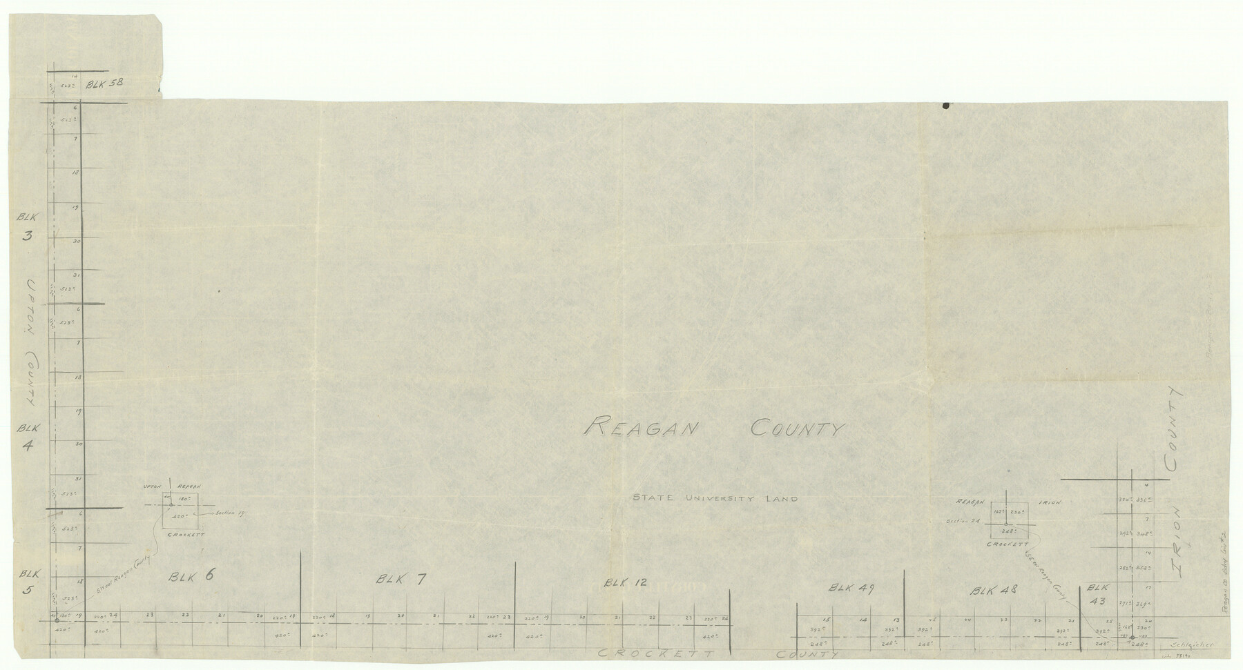
Reagan County Boundary File 2
-
Map/Doc
58190
-
Collection
General Map Collection
-
Counties
Reagan
-
Subjects
County Boundaries
-
Height x Width
17.5 x 32.4 inches
44.5 x 82.3 cm
Part of: General Map Collection
Galveston County Rolled Sketch 28

Print $347.00
- Digital $50.00
Galveston County Rolled Sketch 28
Size 22.6 x 18.1 inches
Map/Doc 6068
[Surveys in Bexar County]
![93, [Surveys in Bexar County], General Map Collection](https://historictexasmaps.com/wmedia_w700/maps/93.tif.jpg)
Print $2.00
- Digital $50.00
[Surveys in Bexar County]
Size 11.3 x 6.9 inches
Map/Doc 93
Hill County Boundary File 2

Print $18.00
- Digital $50.00
Hill County Boundary File 2
Size 10.6 x 8.1 inches
Map/Doc 54734
Rockwall County Boundary File 4b

Print $10.00
- Digital $50.00
Rockwall County Boundary File 4b
Size 11.4 x 8.8 inches
Map/Doc 58403
Official Map of the Highway System of Texas

Print $20.00
- Digital $50.00
Official Map of the Highway System of Texas
1936
Size 27.5 x 33.4 inches
Map/Doc 83599
Potter County Boundary File 3e

Print $6.00
- Digital $50.00
Potter County Boundary File 3e
Size 9.2 x 8.0 inches
Map/Doc 57993
Jeff Davis County Sketch File 40

Print $40.00
- Digital $50.00
Jeff Davis County Sketch File 40
1959
Size 12.8 x 18.2 inches
Map/Doc 28062
Gaines County Working Sketch 20

Print $20.00
- Digital $50.00
Gaines County Working Sketch 20
1970
Size 44.2 x 44.1 inches
Map/Doc 69320
Archer County Working Sketch 1a

Print $20.00
- Digital $50.00
Archer County Working Sketch 1a
Size 42.8 x 42.5 inches
Map/Doc 83096
Southern Part of Laguna Madre

Print $20.00
- Digital $50.00
Southern Part of Laguna Madre
1975
Size 44.8 x 35.5 inches
Map/Doc 73544
Eastland County Sketch File 19

Print $2.00
- Digital $50.00
Eastland County Sketch File 19
1983
Size 14.3 x 9.0 inches
Map/Doc 21608
Guadalupe County Sketch File 15d

Print $4.00
- Digital $50.00
Guadalupe County Sketch File 15d
Size 10.1 x 8.1 inches
Map/Doc 24705
You may also like
Hall County Sketch File B1

Print $20.00
- Digital $50.00
Hall County Sketch File B1
1904
Size 23.4 x 25.4 inches
Map/Doc 11612
Edwards County Sketch File A

Print $20.00
- Digital $50.00
Edwards County Sketch File A
Size 25.3 x 35.5 inches
Map/Doc 11448

Navarro County Working Sketch 16

Print $20.00
- Digital $50.00
Navarro County Working Sketch 16
1993
Size 15.8 x 17.7 inches
Map/Doc 71246
A new map of Texas, Oregon and California with the regions adjoining, compiled from the most recent authorities

Print $20.00
- Digital $50.00
A new map of Texas, Oregon and California with the regions adjoining, compiled from the most recent authorities
1846
Size 23.7 x 21.8 inches
Map/Doc 93940
Map of Burnet County

Print $20.00
- Digital $50.00
Map of Burnet County
1862
Size 27.1 x 22.5 inches
Map/Doc 3353
Swisher County

Print $20.00
- Digital $50.00
Swisher County
1879
Size 20.9 x 18.7 inches
Map/Doc 4063
Duval County Sketch File 67

Print $16.00
- Digital $50.00
Duval County Sketch File 67
1949
Size 14.2 x 8.8 inches
Map/Doc 21448

[Galveston, Harrisburg & San Antonio through El Paso County]
![64012, [Galveston, Harrisburg & San Antonio through El Paso County], General Map Collection](https://historictexasmaps.com/wmedia_w700/maps/64012.tif.jpg)
Print $20.00
- Digital $50.00
[Galveston, Harrisburg & San Antonio through El Paso County]
1906
Size 13.6 x 33.8 inches
Map/Doc 64012
Foard County Working Sketch 2

Print $20.00
- Digital $50.00
Foard County Working Sketch 2
1911
Size 26.3 x 41.4 inches
Map/Doc 69192
