Shackelford County Boundary File 7b
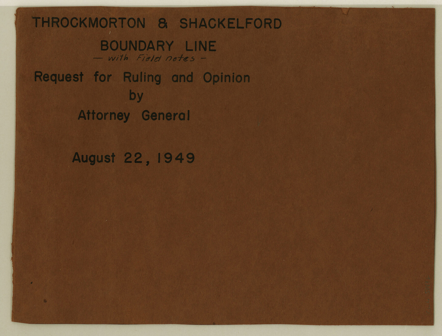
Throckmorton & Shackelford Boundary Line with Field notes, Request for Ruling and Opinion by Attorney General
-
Map/Doc
58692
-
Collection
General Map Collection
-
Counties
Shackelford
-
Subjects
County Boundaries
-
Height x Width
7.9 x 10.4 inches
20.1 x 26.4 cm
Part of: General Map Collection
Brazoria County Sketch File 28

Print $6.00
- Digital $50.00
Brazoria County Sketch File 28
1889
Size 8.8 x 14.2 inches
Map/Doc 15030
[Beaumont, Sour Lake and Western Ry. Right of Way and Alignment - Frisco]
![64107, [Beaumont, Sour Lake and Western Ry. Right of Way and Alignment - Frisco], General Map Collection](https://historictexasmaps.com/wmedia_w700/maps/64107.tif.jpg)
Print $20.00
- Digital $50.00
[Beaumont, Sour Lake and Western Ry. Right of Way and Alignment - Frisco]
1910
Size 20.4 x 46.0 inches
Map/Doc 64107
Tarrant County Working Sketch 16

Print $20.00
- Digital $50.00
Tarrant County Working Sketch 16
1991
Size 14.5 x 23.9 inches
Map/Doc 62433
Right of Way Map Fort Worth & Denver City Railroad through Hardeman County

Print $40.00
- Digital $50.00
Right of Way Map Fort Worth & Denver City Railroad through Hardeman County
1885
Size 23.8 x 121.2 inches
Map/Doc 64424
Map of Galveston West Bay and Part of Galveston Island

Print $40.00
- Digital $50.00
Map of Galveston West Bay and Part of Galveston Island
1851
Size 31.2 x 52.6 inches
Map/Doc 69923
Webb County Working Sketch 89

Print $20.00
- Digital $50.00
Webb County Working Sketch 89
1982
Size 44.6 x 43.0 inches
Map/Doc 72456
Galveston County Sketch File 52

Print $27.00
- Digital $50.00
Galveston County Sketch File 52
1915
Size 10.1 x 12.3 inches
Map/Doc 23516
Erath County Working Sketch 8

Print $20.00
- Digital $50.00
Erath County Working Sketch 8
1936
Size 16.0 x 16.2 inches
Map/Doc 69089
Jones County Sketch File 1

Print $20.00
- Digital $50.00
Jones County Sketch File 1
1857
Size 17.8 x 30.3 inches
Map/Doc 11894
Wharton County Rolled Sketch 6

Print $20.00
- Digital $50.00
Wharton County Rolled Sketch 6
1901
Size 23.7 x 30.0 inches
Map/Doc 8230
Gulf of Mexico

Print $20.00
- Digital $50.00
Gulf of Mexico
1900
Size 18.2 x 28.0 inches
Map/Doc 72648
Zapata County

Print $40.00
- Digital $50.00
Zapata County
1901
Size 53.1 x 38.0 inches
Map/Doc 63143
You may also like
Maps of Gulf Intracoastal Waterway, Texas - Sabine River to the Rio Grande and connecting waterways including ship channels

Print $20.00
- Digital $50.00
Maps of Gulf Intracoastal Waterway, Texas - Sabine River to the Rio Grande and connecting waterways including ship channels
1966
Size 14.5 x 22.2 inches
Map/Doc 61964
[John H. Tyler and Bob Reid Strip Surveys in Yates Field]
![91582, [John H. Tyler and Bob Reid Strip Surveys in Yates Field], Twichell Survey Records](https://historictexasmaps.com/wmedia_w700/maps/91582-1.tif.jpg)
Print $2.00
- Digital $50.00
[John H. Tyler and Bob Reid Strip Surveys in Yates Field]
Size 14.3 x 8.8 inches
Map/Doc 91582
Henderson County Working Sketch 40

Print $20.00
- Digital $50.00
Henderson County Working Sketch 40
1982
Size 23.2 x 19.0 inches
Map/Doc 66173
Cass County Working Sketch 38

Print $20.00
- Digital $50.00
Cass County Working Sketch 38
1982
Size 19.2 x 21.0 inches
Map/Doc 67941
Navarro County Sketch File 20

Print $14.00
- Digital $50.00
Navarro County Sketch File 20
1967
Size 14.3 x 8.8 inches
Map/Doc 32343

Red River County Working Sketch 80

Print $20.00
- Digital $50.00
Red River County Working Sketch 80
1982
Size 24.1 x 29.3 inches
Map/Doc 72063
Karnes County Boundary File 4

Print $14.00
- Digital $50.00
Karnes County Boundary File 4
Size 12.7 x 8.2 inches
Map/Doc 55698
Jefferson County Sketch File 22

Print $22.00
- Digital $50.00
Jefferson County Sketch File 22
Size 7.6 x 11.9 inches
Map/Doc 28179
Live Oak County Sketch File 25

Print $16.00
- Digital $50.00
Live Oak County Sketch File 25
1919
Size 9.0 x 8.5 inches
Map/Doc 30301
[Sketch of surveys north of Jefferson County School Land]
![91890, [Sketch of surveys north of Jefferson County School Land], Twichell Survey Records](https://historictexasmaps.com/wmedia_w700/maps/91890-1.tif.jpg)
Print $3.00
- Digital $50.00
[Sketch of surveys north of Jefferson County School Land]
1891
Size 10.3 x 11.2 inches
Map/Doc 91890
Willacy County Rolled Sketch 2

Print $40.00
- Digital $50.00
Willacy County Rolled Sketch 2
1921
Size 30.7 x 62.9 inches
Map/Doc 10145