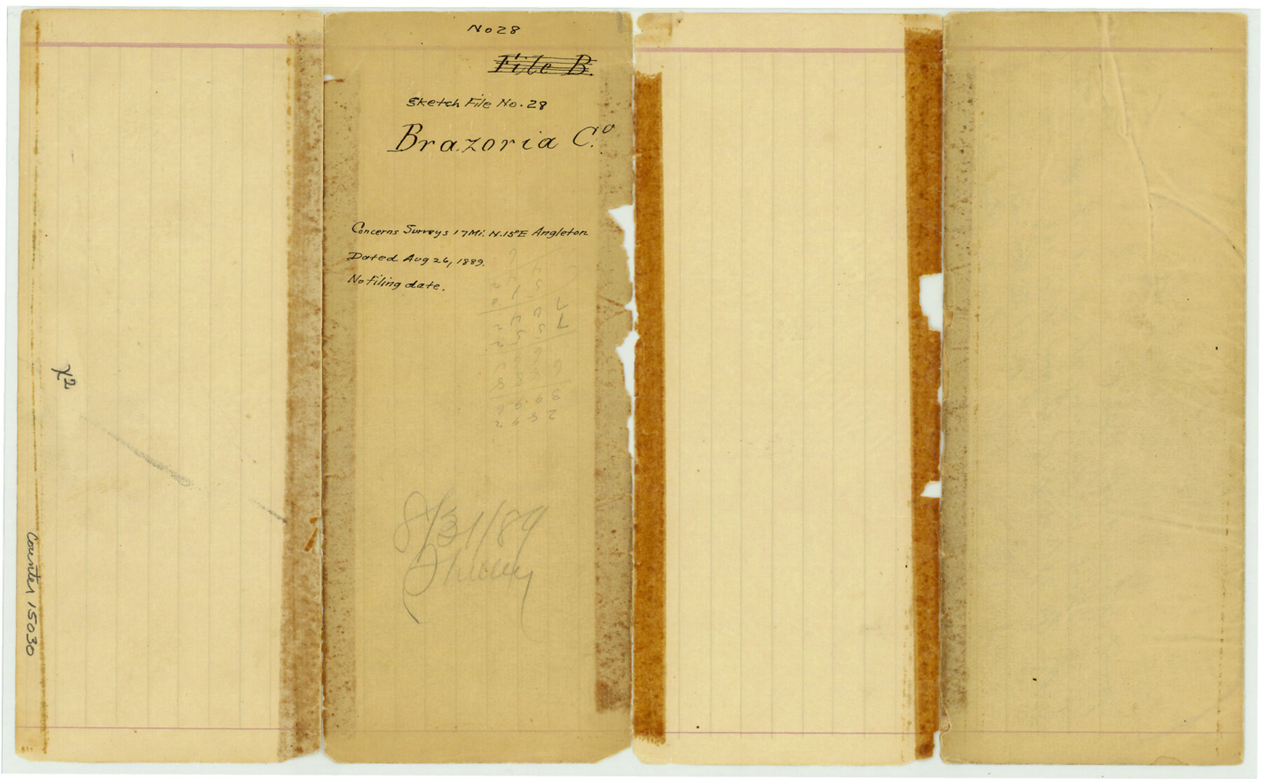
Brazoria County Sketch File 28
[Statement concerning surveys northeast of Angleton near Chocolate Bayou]
-
Map/Doc
15030
-
Collection
General Map Collection
-
Object Dates
1889/8/31 (File Date)
1889/8/26 (Creation Date)
-
Counties
Brazoria
-
Subjects
Surveying Sketch File
-
Height x Width
8.8 x 14.2 inches
22.4 x 36.1 cm
-
Medium
paper, manuscript
-
Features
Chocolate Bayou
Brazos River
Part of: General Map Collection
Crosby County Sketch File 12

Print $4.00
- Digital $50.00
Crosby County Sketch File 12
1895
Size 14.3 x 9.1 inches
Map/Doc 20034
Rusk County Sketch File 19a

Print $4.00
Rusk County Sketch File 19a
1860
Size 8.2 x 6.6 inches
Map/Doc 35528
Menard County Sketch File 17

Print $20.00
- Digital $50.00
Menard County Sketch File 17
1914
Size 35.4 x 20.1 inches
Map/Doc 12075
Roberts County Working Sketch 24

Print $20.00
- Digital $50.00
Roberts County Working Sketch 24
1981
Size 25.8 x 36.9 inches
Map/Doc 63550
Garza County Working Sketch 3

Print $20.00
- Digital $50.00
Garza County Working Sketch 3
1919
Size 13.8 x 14.0 inches
Map/Doc 63150
Flight Mission No. CRE-1R, Frame 131, Jackson County

Print $20.00
- Digital $50.00
Flight Mission No. CRE-1R, Frame 131, Jackson County
1956
Size 16.1 x 15.9 inches
Map/Doc 85339
Galveston County Rolled Sketch 44

Print $20.00
- Digital $50.00
Galveston County Rolled Sketch 44
1991
Size 24.9 x 36.9 inches
Map/Doc 5973
Pecos County Sketch File 68

Print $6.00
- Digital $50.00
Pecos County Sketch File 68
1920
Size 14.4 x 8.8 inches
Map/Doc 33866
Blanco County Sketch File 43

Print $6.00
- Digital $50.00
Blanco County Sketch File 43
1901
Size 9.7 x 6.2 inches
Map/Doc 14666
Flight Mission No. DCL-4C, Frame 148, Kenedy County

Print $20.00
- Digital $50.00
Flight Mission No. DCL-4C, Frame 148, Kenedy County
1943
Size 18.6 x 22.5 inches
Map/Doc 85826
San Augustine County Rolled Sketch 3

Print $20.00
- Digital $50.00
San Augustine County Rolled Sketch 3
1969
Size 21.5 x 29.0 inches
Map/Doc 7555
Madison County Working Sketch 4

Print $20.00
- Digital $50.00
Madison County Working Sketch 4
1973
Size 12.7 x 12.9 inches
Map/Doc 70766
You may also like
Bandera County Working Sketch 26

Print $20.00
- Digital $50.00
Bandera County Working Sketch 26
1951
Size 32.3 x 28.4 inches
Map/Doc 67622
Fayette County Working Sketch 2

Print $20.00
- Digital $50.00
Fayette County Working Sketch 2
1979
Size 40.6 x 37.8 inches
Map/Doc 69166
[Pecos River Bed]
![2467, [Pecos River Bed], General Map Collection](https://historictexasmaps.com/wmedia_w700/maps/2467.tif.jpg)
Print $20.00
- Digital $50.00
[Pecos River Bed]
Size 16.6 x 39.8 inches
Map/Doc 2467
Brewster County Rolled Sketch 129

Print $20.00
- Digital $50.00
Brewster County Rolled Sketch 129
1978
Size 24.4 x 15.3 inches
Map/Doc 5301
Burnet County Boundary File 9

Print $12.00
- Digital $50.00
Burnet County Boundary File 9
Size 14.1 x 8.6 inches
Map/Doc 50943
Flight Mission No. DAG-24K, Frame 125, Matagorda County

Print $20.00
- Digital $50.00
Flight Mission No. DAG-24K, Frame 125, Matagorda County
1953
Size 18.5 x 22.3 inches
Map/Doc 86543
Reeves County Sketch File 17

Print $40.00
- Digital $50.00
Reeves County Sketch File 17
1943
Size 9.9 x 19.4 inches
Map/Doc 35208
Flight Mission No. DAH-9M, Frame 87, Orange County

Print $20.00
- Digital $50.00
Flight Mission No. DAH-9M, Frame 87, Orange County
1953
Size 18.5 x 22.3 inches
Map/Doc 86851
Armstrong County Working Sketch 5

Print $40.00
- Digital $50.00
Armstrong County Working Sketch 5
1918
Size 48.4 x 41.9 inches
Map/Doc 67236
Flight Mission No. BQR-14K, Frame 39, Brazoria County

Print $20.00
- Digital $50.00
Flight Mission No. BQR-14K, Frame 39, Brazoria County
1952
Size 18.9 x 22.6 inches
Map/Doc 84096
Menard County Working Sketch 5

Print $20.00
- Digital $50.00
Menard County Working Sketch 5
1921
Size 17.2 x 22.3 inches
Map/Doc 70952
Terrell County Working Sketch 67

Print $20.00
- Digital $50.00
Terrell County Working Sketch 67
1973
Size 32.8 x 28.2 inches
Map/Doc 69588