Travis County Boundary File 4a
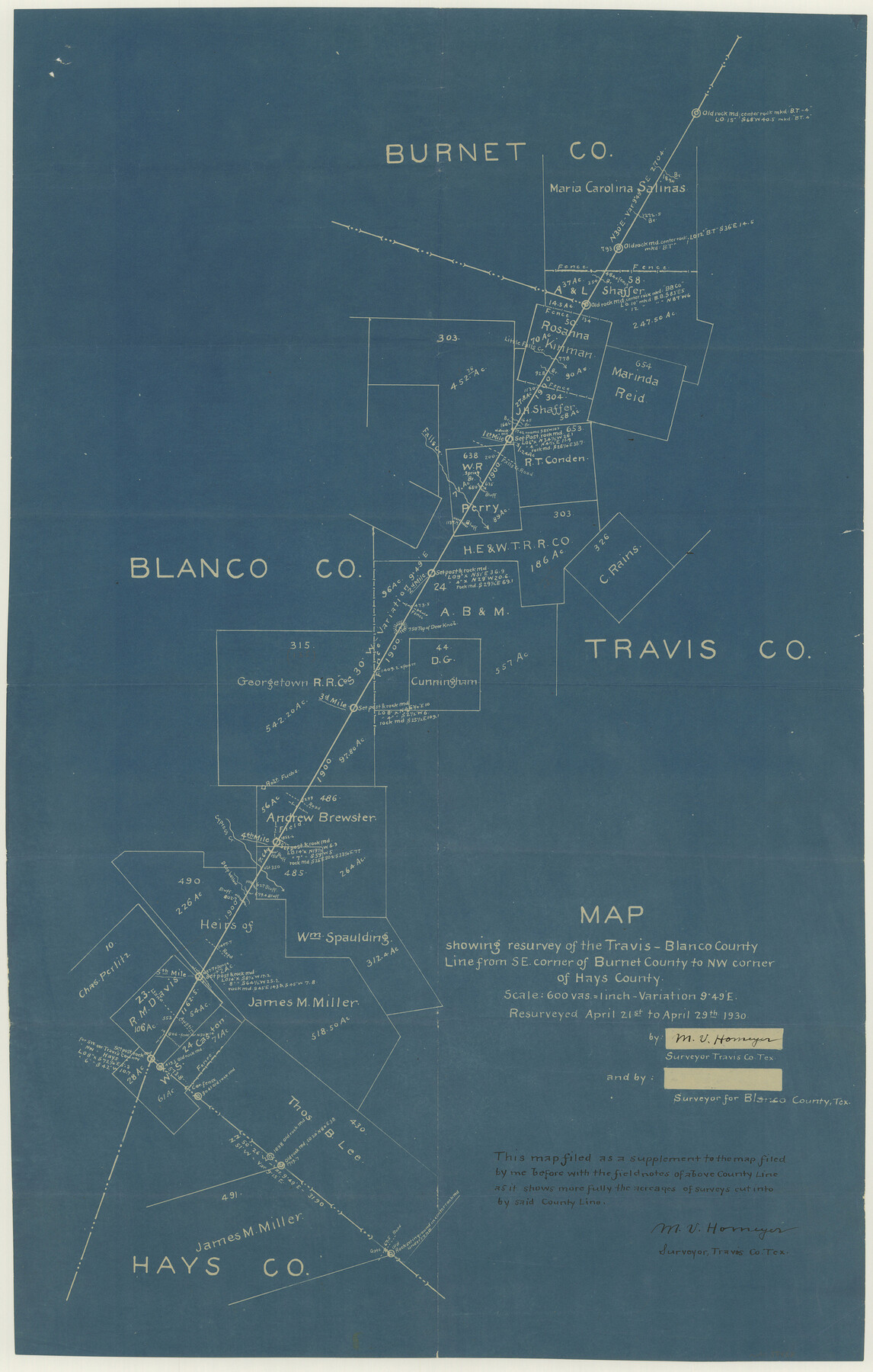
Map showing resurvey of the Travis-Blanco County Line from SE corner of Burnet County to NW corner of Hays County, Supplemental Plat
-
Map/Doc
59428
-
Collection
General Map Collection
-
Counties
Travis
-
Subjects
County Boundaries
-
Height x Width
27.9 x 17.8 inches
70.9 x 45.2 cm
Part of: General Map Collection
Hutchinson County Rolled Sketch 36

Print $20.00
- Digital $50.00
Hutchinson County Rolled Sketch 36
1888
Size 20.3 x 25.3 inches
Map/Doc 6293
La Salle County Rolled Sketch 6

Print $40.00
- Digital $50.00
La Salle County Rolled Sketch 6
1941
Size 43.0 x 66.0 inches
Map/Doc 10738

Dimmit County Sketch File 56

Print $20.00
- Digital $50.00
Dimmit County Sketch File 56
1939
Size 15.8 x 27.4 inches
Map/Doc 11360

King County Boundary File 2

Print $54.00
- Digital $50.00
King County Boundary File 2
Size 8.8 x 7.7 inches
Map/Doc 64887
Map of Nacogdoches County

Print $20.00
- Digital $50.00
Map of Nacogdoches County
1881
Size 23.7 x 21.0 inches
Map/Doc 4599
The Coast & Bays of Western Texas

Print $20.00
- Digital $50.00
The Coast & Bays of Western Texas
1857
Size 18.2 x 23.9 inches
Map/Doc 73424
Haskell County Working Sketch 13

Print $20.00
- Digital $50.00
Haskell County Working Sketch 13
1983
Size 33.0 x 41.8 inches
Map/Doc 66071
Webb County Working Sketch 5

Print $20.00
- Digital $50.00
Webb County Working Sketch 5
1909
Size 20.1 x 15.4 inches
Map/Doc 72370
Map of the United States

Print $20.00
- Digital $50.00
Map of the United States
1851
Size 24.7 x 26.0 inches
Map/Doc 96632

You may also like
[Wilson Strickland Survey]
![91374, [Wilson Strickland Survey], Twichell Survey Records](https://historictexasmaps.com/wmedia_w700/maps/91374-1.tif.jpg)
Print $20.00
- Digital $50.00
[Wilson Strickland Survey]
Size 38.1 x 31.5 inches
Map/Doc 91374
Pecos County Rolled Sketch 139

Print $40.00
- Digital $50.00
Pecos County Rolled Sketch 139
1953
Size 41.0 x 57.4 inches
Map/Doc 9732
Sutton County Sketch File 1

Print $6.00
- Digital $50.00
Sutton County Sketch File 1
1885
Size 14.3 x 8.9 inches
Map/Doc 37348
[Public School Land Blocks B1 and B7]
![91974, [Public School Land Blocks B1 and B7], Twichell Survey Records](https://historictexasmaps.com/wmedia_w700/maps/91974-1.tif.jpg)
Print $20.00
- Digital $50.00
[Public School Land Blocks B1 and B7]
Size 22.9 x 14.8 inches
Map/Doc 91974
Map of Tyler County

Print $20.00
- Digital $50.00
Map of Tyler County
1863
Size 21.0 x 22.3 inches
Map/Doc 4099
Frio County Working Sketch 13

Print $20.00
- Digital $50.00
Frio County Working Sketch 13
1954
Size 23.3 x 35.5 inches
Map/Doc 69287
Hartley County Sketch File 8

Print $20.00
- Digital $50.00
Hartley County Sketch File 8
Size 23.9 x 19.1 inches
Map/Doc 11699
[San Antonio & Aransas Pass]
![64209, [San Antonio & Aransas Pass], General Map Collection](https://historictexasmaps.com/wmedia_w700/maps/64209.tif.jpg)
Print $20.00
- Digital $50.00
[San Antonio & Aransas Pass]
Size 15.2 x 45.5 inches
Map/Doc 64209
Wichita County Sketch File 14

Print $20.00
- Digital $50.00
Wichita County Sketch File 14
1885
Size 17.7 x 17.0 inches
Map/Doc 12678
Culberson County Rolled Sketch 11

Print $20.00
- Digital $50.00
Culberson County Rolled Sketch 11
1898
Size 25.6 x 45.9 inches
Map/Doc 5648
Mills County Sketch File 28

Print $8.00
- Digital $50.00
Mills County Sketch File 28
2000
Size 14.3 x 8.7 inches
Map/Doc 31684
Harris County Sketch File 24

Print $8.00
- Digital $50.00
Harris County Sketch File 24
Size 8.8 x 8.0 inches
Map/Doc 25385