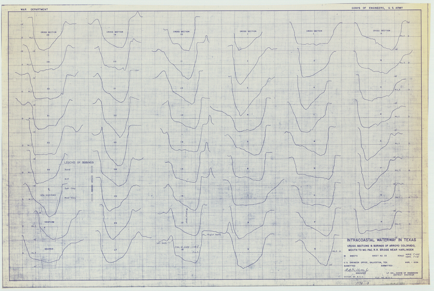
Intracoastal Waterway in Texas - Corpus Christi to Point Isabel including Arroyo Colorado to Mo. Pac. R.R. Bridge Near Harlingen
-
Map/Doc
61880
-
Collection
General Map Collection
-
Object Dates
1934 (Creation Date)
-
Subjects
Intracoastal Waterways
-
Height x Width
22.0 x 32.7 inches
55.9 x 83.1 cm
Part of: General Map Collection
Montgomery County

Print $20.00
- Digital $50.00
Montgomery County
1861
Size 18.4 x 22.3 inches
Map/Doc 3890
Tarrant County Sketch File 17

Print $8.00
- Digital $50.00
Tarrant County Sketch File 17
1860
Size 8.3 x 8.1 inches
Map/Doc 37716
Fractional Township No. 7 South Range No. 20 East of the Indian Meridian, Indian Territory

Print $20.00
- Digital $50.00
Fractional Township No. 7 South Range No. 20 East of the Indian Meridian, Indian Territory
1897
Size 19.2 x 24.2 inches
Map/Doc 75236
Floyd County Boundary File 1

Print $30.00
- Digital $50.00
Floyd County Boundary File 1
Size 8.9 x 4.2 inches
Map/Doc 53445
Map of Stephens County

Print $20.00
- Digital $50.00
Map of Stephens County
1897
Size 43.0 x 37.3 inches
Map/Doc 78395
Gaines County Rolled Sketch 12

Print $20.00
- Digital $50.00
Gaines County Rolled Sketch 12
1940
Size 26.4 x 33.5 inches
Map/Doc 5933
Flight Mission No. DIX-10P, Frame 171, Aransas County

Print $20.00
- Digital $50.00
Flight Mission No. DIX-10P, Frame 171, Aransas County
1956
Size 18.8 x 22.3 inches
Map/Doc 83961
Leon County Sketch File 11a

Print $4.00
- Digital $50.00
Leon County Sketch File 11a
Size 9.7 x 8.7 inches
Map/Doc 29763
Kaufman County Boundary File 2

Print $22.00
- Digital $50.00
Kaufman County Boundary File 2
Size 14.1 x 8.6 inches
Map/Doc 55911
Presidio County Sketch File 21

Print $4.00
- Digital $50.00
Presidio County Sketch File 21
1889
Size 14.2 x 8.7 inches
Map/Doc 34454
Galveston County Working Sketch 4

Print $20.00
- Digital $50.00
Galveston County Working Sketch 4
1930
Size 19.7 x 17.2 inches
Map/Doc 69341
Harris County Working Sketch 40

Print $20.00
- Digital $50.00
Harris County Working Sketch 40
1940
Size 42.0 x 41.2 inches
Map/Doc 65932
You may also like
Ochiltree County Boundary File 5b

Print $4.00
- Digital $50.00
Ochiltree County Boundary File 5b
Size 13.7 x 8.7 inches
Map/Doc 57697
Hood County Sketch File 11

Print $20.00
- Digital $50.00
Hood County Sketch File 11
Size 17.5 x 16.2 inches
Map/Doc 11779
Concho County Sketch File 28

Print $6.00
- Digital $50.00
Concho County Sketch File 28
1887
Size 16.2 x 8.3 inches
Map/Doc 19166
Map of San Augustine County

Print $20.00
- Digital $50.00
Map of San Augustine County
1839
Size 22.3 x 18.2 inches
Map/Doc 4011
Block 32, Township 4 North, Texas and Pacific Railroad Co., Borden County, Texas

Print $2.00
- Digital $50.00
Block 32, Township 4 North, Texas and Pacific Railroad Co., Borden County, Texas
Size 9.1 x 11.6 inches
Map/Doc 90141
Flight Mission No. DAG-21K, Frame 119, Matagorda County

Print $20.00
- Digital $50.00
Flight Mission No. DAG-21K, Frame 119, Matagorda County
1952
Size 18.6 x 22.5 inches
Map/Doc 86445
Crosby County Sketch File 28

Print $20.00
- Digital $50.00
Crosby County Sketch File 28
Size 33.4 x 37.4 inches
Map/Doc 10353

Coleman County Sketch File 43a

Print $6.00
- Digital $50.00
Coleman County Sketch File 43a
1892
Size 13.2 x 8.2 inches
Map/Doc 18780
Flight Mission No. BRA-16M, Frame 174, Jefferson County

Print $20.00
- Digital $50.00
Flight Mission No. BRA-16M, Frame 174, Jefferson County
1953
Size 18.6 x 22.4 inches
Map/Doc 85772
Polk County Rolled Sketch 33

Print $20.00
- Digital $50.00
Polk County Rolled Sketch 33
Size 26.5 x 38.5 inches
Map/Doc 7319
Matagorda Light to Aransas Pass

Print $20.00
- Digital $50.00
Matagorda Light to Aransas Pass
1961
Size 35.9 x 44.7 inches
Map/Doc 73396