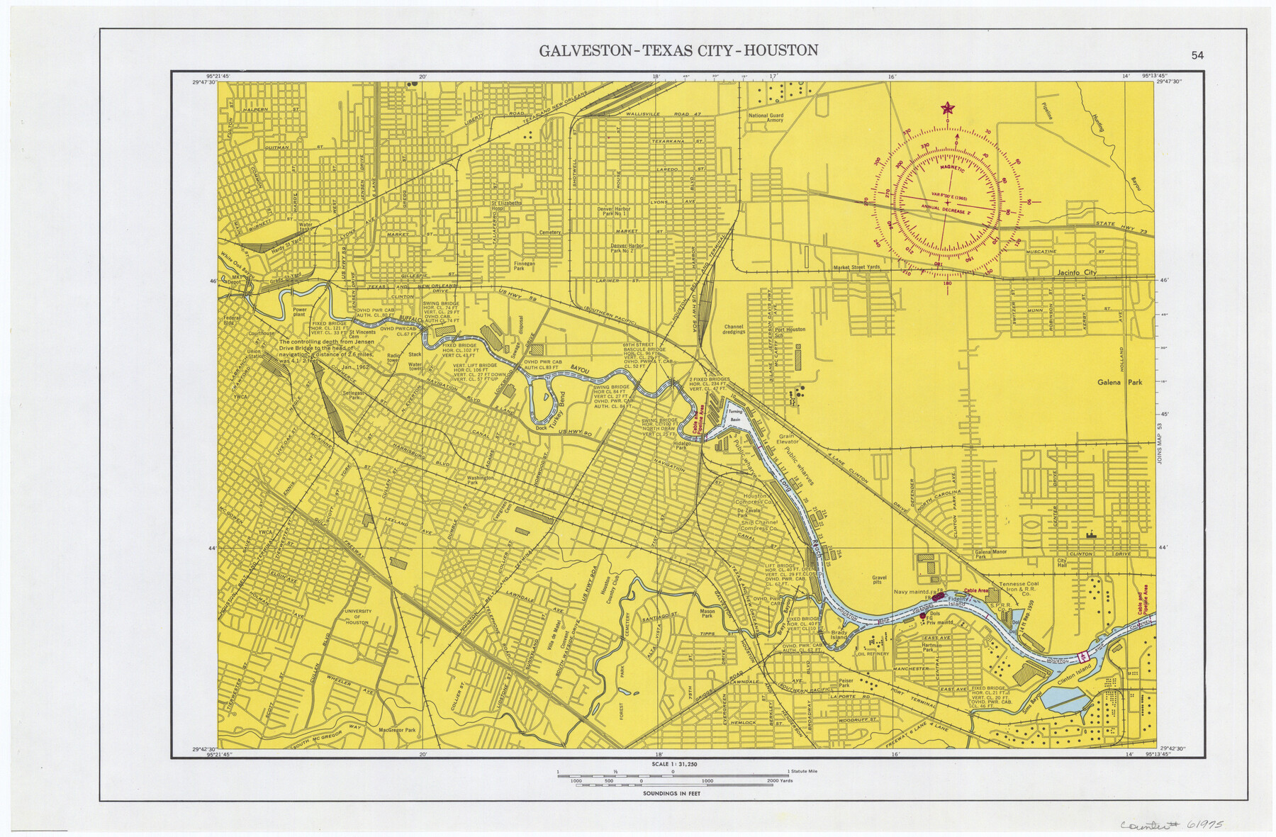
Maps of Gulf Intracoastal Waterway, Texas - Sabine River to the Rio Grande and connecting waterways including ship channels
-
Map/Doc
61975
-
Collection
General Map Collection
-
Object Dates
1966 (Creation Date)
-
Subjects
Intracoastal Waterways
-
Height x Width
14.6 x 22.2 inches
37.1 x 56.4 cm
Part of: General Map Collection
Presidio County Working Sketch 41

Print $20.00
- Digital $50.00
Presidio County Working Sketch 41
1948
Size 20.3 x 14.4 inches
Map/Doc 71718
General Homes Free Houston Area Map

General Homes Free Houston Area Map
Size 27.3 x 42.5 inches
Map/Doc 94394
Blanco County Sketch File 18

Print $4.00
- Digital $50.00
Blanco County Sketch File 18
1877
Size 12.6 x 8.5 inches
Map/Doc 14594
Flight Mission No. BRA-7M, Frame 78, Jefferson County

Print $20.00
- Digital $50.00
Flight Mission No. BRA-7M, Frame 78, Jefferson County
1953
Size 16.0 x 16.1 inches
Map/Doc 85500
Collingsworth County Working Sketch 2

Print $20.00
- Digital $50.00
Collingsworth County Working Sketch 2
1957
Size 42.5 x 20.1 inches
Map/Doc 63761

Brewster County Working Sketch 107

Print $20.00
- Digital $50.00
Brewster County Working Sketch 107
1981
Size 34.7 x 37.1 inches
Map/Doc 67707
Pecos County Rolled Sketch 184

Print $20.00
- Digital $50.00
Pecos County Rolled Sketch 184
1977
Size 44.4 x 30.0 inches
Map/Doc 7303
El Paso County Boundary File 13

Print $37.00
- Digital $50.00
El Paso County Boundary File 13
Size 11.1 x 8.6 inches
Map/Doc 53161
Flight Mission No. CUG-3P, Frame 80, Kleberg County

Print $20.00
- Digital $50.00
Flight Mission No. CUG-3P, Frame 80, Kleberg County
1956
Size 18.7 x 22.4 inches
Map/Doc 86255
Zavala County Rolled Sketch 29

Print $40.00
- Digital $50.00
Zavala County Rolled Sketch 29
Size 50.9 x 45.1 inches
Map/Doc 10177
Jefferson County Working Sketch 12

Print $20.00
- Digital $50.00
Jefferson County Working Sketch 12
1947
Size 29.9 x 39.4 inches
Map/Doc 66555
You may also like
[Sketch showing Block H, Section 11 of Roberts County, including the south bank of the Canadian River]
![91761, [Sketch showing Block H, Section 11 of Roberts County, including the south bank of the Canadian River], Twichell Survey Records](https://historictexasmaps.com/wmedia_w700/maps/91761-1.tif.jpg)
Print $2.00
- Digital $50.00
[Sketch showing Block H, Section 11 of Roberts County, including the south bank of the Canadian River]
1919
Size 14.4 x 8.8 inches
Map/Doc 91761
Brewster County Working Sketch 81

Print $20.00
- Digital $50.00
Brewster County Working Sketch 81
1972
Size 45.9 x 26.7 inches
Map/Doc 67681
Upton County Sketch File 16

Print $4.00
- Digital $50.00
Upton County Sketch File 16
1926
Size 11.4 x 8.8 inches
Map/Doc 38873
Hudspeth County Sketch File 39

Print $42.00
- Digital $50.00
Hudspeth County Sketch File 39
Size 8.8 x 11.5 inches
Map/Doc 27010
Webb County Sketch File 50-1

Print $8.00
- Digital $50.00
Webb County Sketch File 50-1
1943
Size 14.5 x 8.9 inches
Map/Doc 39833
Map of Survey 8, Block 1, D.B. Gardner

Print $20.00
- Digital $50.00
Map of Survey 8, Block 1, D.B. Gardner
1915
Size 13.0 x 18.8 inches
Map/Doc 10763
General Highway Map. Detail of Cities and Towns in Harris County, Texas

Print $20.00
General Highway Map. Detail of Cities and Towns in Harris County, Texas
1939
Size 18.4 x 24.9 inches
Map/Doc 79117
The Republic County of Robertson. January 30, 1841

Print $20.00
The Republic County of Robertson. January 30, 1841
2020
Size 16.9 x 21.7 inches
Map/Doc 96261
[Galveston, Harrisburg & San Antonio through El Paso County]
![64014, [Galveston, Harrisburg & San Antonio through El Paso County], General Map Collection](https://historictexasmaps.com/wmedia_w700/maps/64014.tif.jpg)
Print $20.00
- Digital $50.00
[Galveston, Harrisburg & San Antonio through El Paso County]
1906
Size 13.4 x 33.8 inches
Map/Doc 64014
Bosque County Sketch File 2

Print $4.00
- Digital $50.00
Bosque County Sketch File 2
1847
Size 7.8 x 12.4 inches
Map/Doc 14740
Pecos County Texas

Print $20.00
- Digital $50.00
Pecos County Texas
Size 23.6 x 19.3 inches
Map/Doc 3950
Map of the Hearne and Brazos Valley Railroad from Mumford to Moseley's Ferry

Print $40.00
- Digital $50.00
Map of the Hearne and Brazos Valley Railroad from Mumford to Moseley's Ferry
1892
Size 20.0 x 56.8 inches
Map/Doc 64400