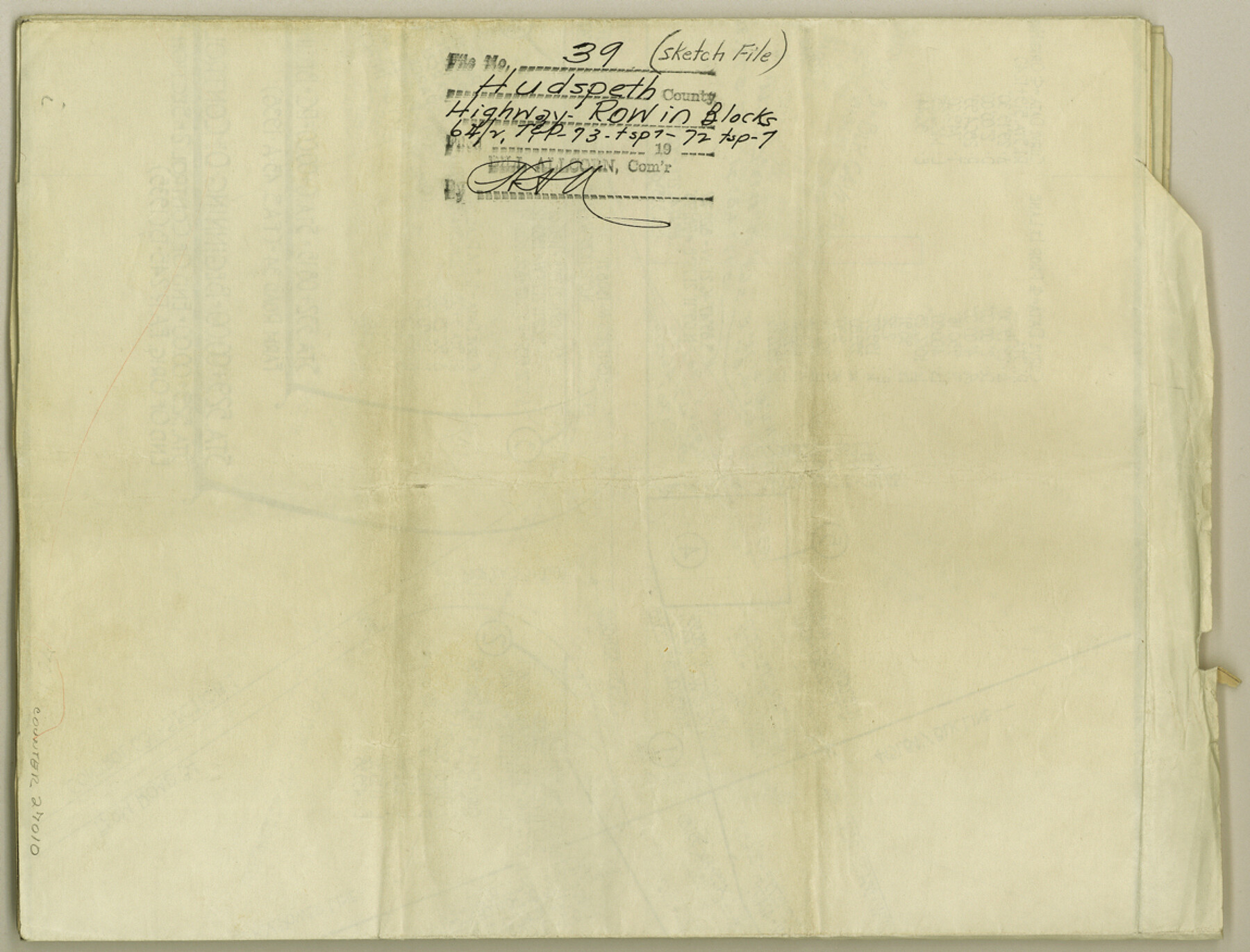
Hudspeth County Sketch File 39
[Highway ROW in Block 64/2, T. & P, Block 73, Township 7 and Block 72, Township 7]
-
Map/Doc
27010
-
Collection
General Map Collection
-
Object Dates
11/2/1959 (File Date)
3/6/1957 (Survey Date)
7/1900 (Survey Date)
-
People and Organizations
L.E. Wood (Surveyor/Engineer)
A.H. Parker (Surveyor/Engineer)
-
Counties
Hudspeth
-
Subjects
Surveying Sketch File
-
Height x Width
8.8 x 11.5 inches
22.4 x 29.2 cm
-
Medium
blueprint/diazo
-
Scale
1:400; 1:100
-
Comments
Surveys located one half mile East of Arroyo Balluco to one half mile East of Lasca Intersection.
-
Features
U.S. Highway 80
Road to Casner Gypsum Mine
Farm Road 34
Part of: General Map Collection
Baylor County Sketch File 1

Print $6.00
- Digital $50.00
Baylor County Sketch File 1
Size 17.5 x 11.4 inches
Map/Doc 14117
Culberson County Working Sketch 56

Print $20.00
- Digital $50.00
Culberson County Working Sketch 56
1974
Size 38.7 x 32.1 inches
Map/Doc 68510
Terrell County Working Sketch 54

Print $20.00
- Digital $50.00
Terrell County Working Sketch 54
1959
Size 25.2 x 42.9 inches
Map/Doc 62147
Moore County Rolled Sketch 9

Print $20.00
- Digital $50.00
Moore County Rolled Sketch 9
1911
Size 24.9 x 18.2 inches
Map/Doc 6827
Kendall County

Print $20.00
- Digital $50.00
Kendall County
1946
Size 42.5 x 36.8 inches
Map/Doc 95553
El Paso County Boundary File 27

Print $2.00
- Digital $50.00
El Paso County Boundary File 27
Size 7.3 x 5.6 inches
Map/Doc 53236
Coke County Sketch File 12

Print $8.00
- Digital $50.00
Coke County Sketch File 12
Size 9.4 x 8.0 inches
Map/Doc 18592
Austin County

Print $20.00
- Digital $50.00
Austin County
1943
Size 40.2 x 43.0 inches
Map/Doc 95422
Brewster County Rolled Sketch 156

Print $156.00
- Digital $50.00
Brewster County Rolled Sketch 156
2005
Map/Doc 85390
Dimmit County Rolled Sketch 13

Print $20.00
- Digital $50.00
Dimmit County Rolled Sketch 13
1944
Size 17.7 x 26.7 inches
Map/Doc 5722
Bexar County Sketch File 52

Print $28.00
- Digital $50.00
Bexar County Sketch File 52
1935
Size 13.5 x 16.8 inches
Map/Doc 14534
McLennan County Boundary File 7

Print $8.00
- Digital $50.00
McLennan County Boundary File 7
Size 14.1 x 8.6 inches
Map/Doc 57005
You may also like
Map of that Portion of the Boundary Between the United States and Mexico from the Pacific Coast to the Junction of the Gila and Colorado Rivers

Print $40.00
Map of that Portion of the Boundary Between the United States and Mexico from the Pacific Coast to the Junction of the Gila and Colorado Rivers
1854
Size 23.9 x 51.4 inches
Map/Doc 79323
Flight Mission No. CGI-3N, Frame 67, Cameron County

Print $20.00
- Digital $50.00
Flight Mission No. CGI-3N, Frame 67, Cameron County
1954
Size 18.5 x 22.2 inches
Map/Doc 84561
Wood County Sketch File 4

Print $4.00
- Digital $50.00
Wood County Sketch File 4
1855
Size 10.2 x 8.1 inches
Map/Doc 40635
Flight Mission No. DQN-2K, Frame 124, Calhoun County

Print $20.00
- Digital $50.00
Flight Mission No. DQN-2K, Frame 124, Calhoun County
1953
Size 18.5 x 22.2 inches
Map/Doc 84300
Henderson County Rolled Sketch 13

Print $20.00
- Digital $50.00
Henderson County Rolled Sketch 13
1987
Size 25.3 x 21.0 inches
Map/Doc 6205
Galveston to Rio Grande

Print $20.00
- Digital $50.00
Galveston to Rio Grande
1967
Size 44.4 x 37.0 inches
Map/Doc 69955
United States - Gulf Coast Texas - Northern part of Laguna Madre

Print $20.00
- Digital $50.00
United States - Gulf Coast Texas - Northern part of Laguna Madre
1923
Size 26.7 x 18.2 inches
Map/Doc 72930
Lampasas County Sketch File 9c

Print $4.00
- Digital $50.00
Lampasas County Sketch File 9c
1873
Size 12.7 x 8.1 inches
Map/Doc 29414
Culberson County Sketch File 1b

Print $20.00
- Digital $50.00
Culberson County Sketch File 1b
Size 9.0 x 18.0 inches
Map/Doc 11260
Crane County Sketch File 18

Print $20.00
- Digital $50.00
Crane County Sketch File 18
1927
Size 15.1 x 18.4 inches
Map/Doc 11210
Atascosa County Rolled Sketch 19

Print $20.00
- Digital $50.00
Atascosa County Rolled Sketch 19
1955
Size 22.1 x 18.3 inches
Map/Doc 5099
Sutton County Working Sketch 2

Print $20.00
- Digital $50.00
Sutton County Working Sketch 2
1968
Size 31.2 x 29.3 inches
Map/Doc 62345